The best running trails around La Chambonie
5.0
(12)
1,024
runners
78
runs
Jogging routes around La Chambonie traverse the heart of the Forez mountains, offering diverse terrain within the Livradois-Forez Regional Natural Park. The region features a mix of dense conifer and beech forests, green meadows, and high-altitude moors known as "Hautes Chaumes." Runners can expect varied landscapes, from wooded paths to open pastures and mountainous routes, providing significant elevation changes.
Best jogging routes around La Chambonie
- The most popular jogging route is Col de la Loge (1,253 m) loop from La…
Last updated: May 15, 2026
26
runners
15.3km
01:49
260m
260m
Hard run. Very good fitness required. Mostly paved surfaces. Suitable for all skill levels.
21
runners
19.3km
02:23
530m
530m
Hard run. Very good fitness required. Mostly paved surfaces. Suitable for all skill levels.

Sign up for free
16
runners
64.5km
08:14
2,130m
2,140m
Hard run. Very good fitness required. Sure-footedness, sturdy shoes and alpine experience required.
13
runners
16.0km
01:52
290m
290m
Hard run. Very good fitness required. Mostly paved surfaces. Suitable for all skill levels.
10
runners
20.1km
02:33
490m
490m
Hard run. Very good fitness required. Mostly paved surfaces. Suitable for all skill levels.
Get access to more routes and recommendations from other explorers.
Sign up for free
Already have an account?
Our route recommendations are based on thousands of hikes, rides, and runs completed by other people on komoot.
Start today with a free account
Your next adventure awaits.
Login or Signup
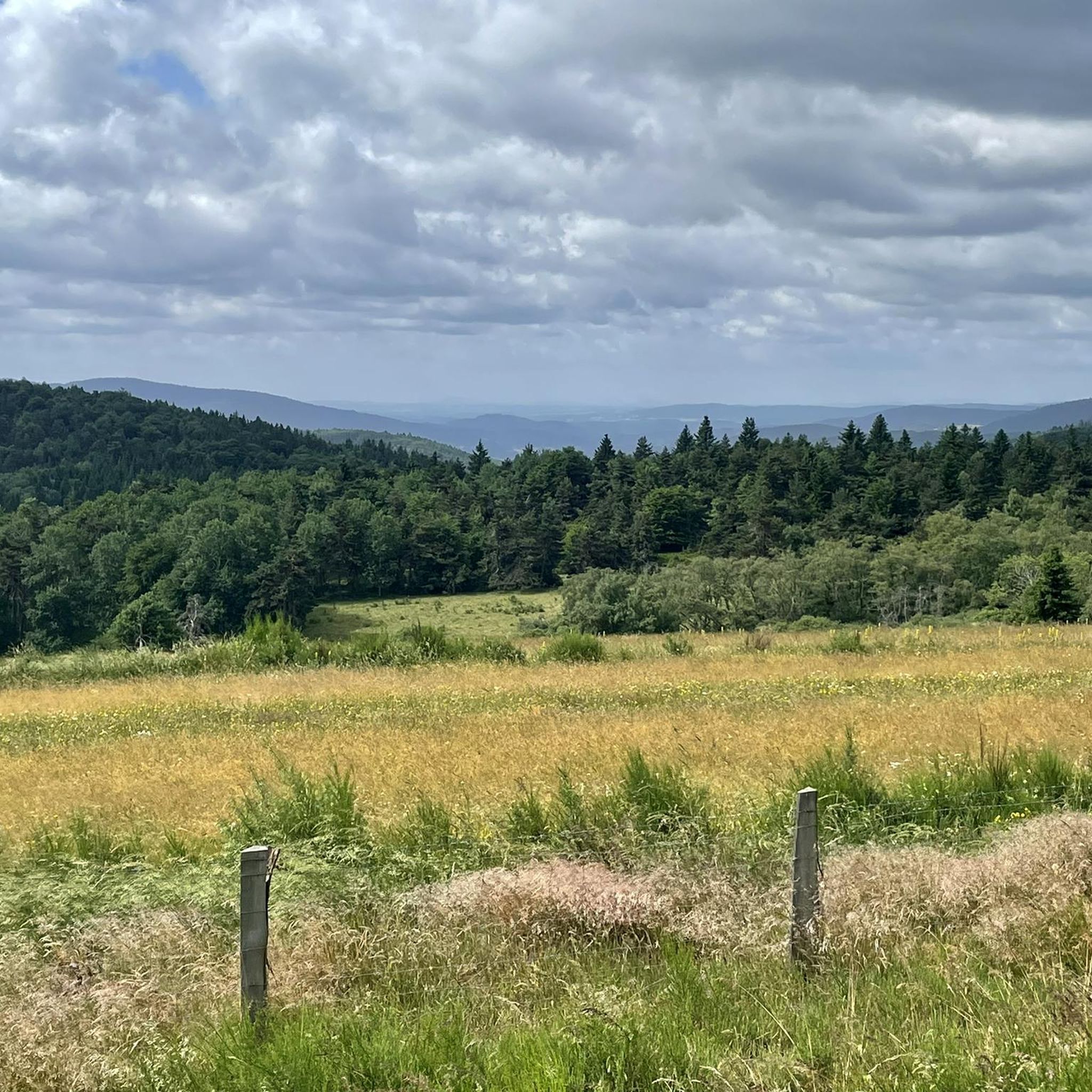
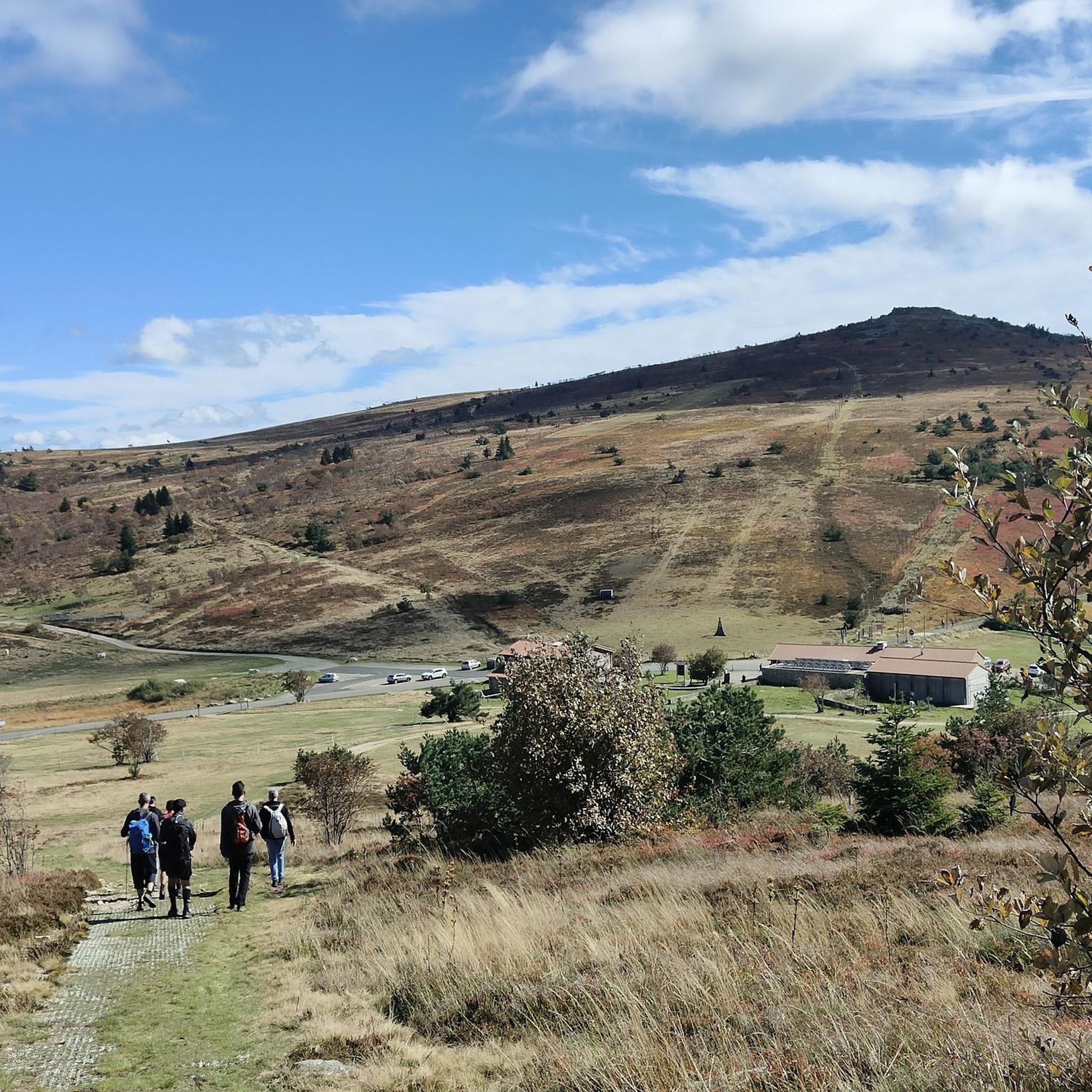


Tips from the Community

This path lives up to its name, especially in spring when the meadows it crosses are adorned with their most beautiful colors.
0
0

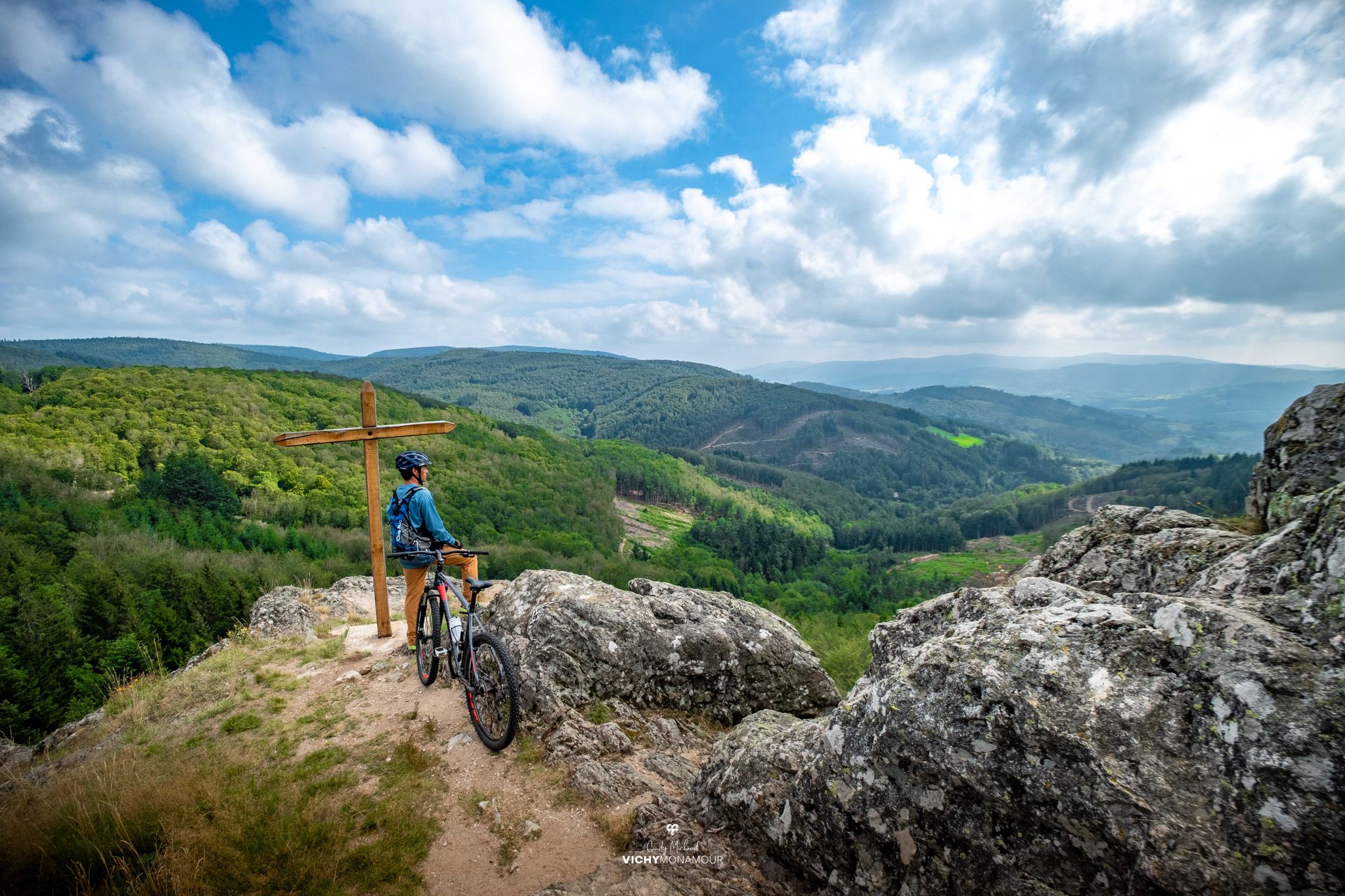
Very nice viewpoint overlooking the valley
0
0

Impeccably laid out, top-notch maintenance👌 and an enchanting setting, this island of freshness on the Forez mountainside is an absolute must-see! The path that goes around the lake is fantastic: a succession of small wooden culverts, cool undergrowth and clearings offering superb views, you cycle there with constantly renewed pleasure.
1
0
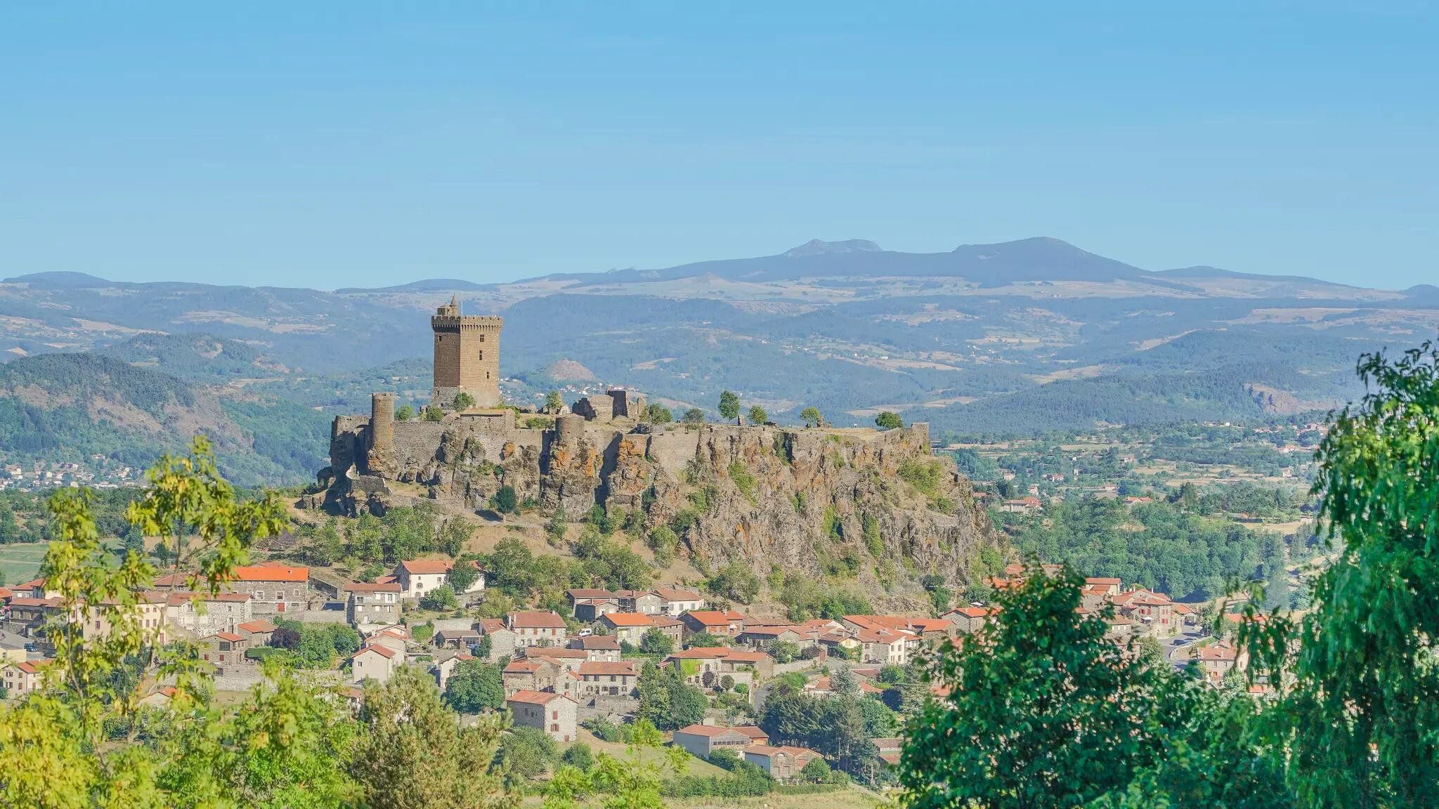
A breathtaking view that is worth the effort and wild landscapes! What a natural spectacle, wow! Undeniably one of the places not to be missed in Auvergne.
1
0

I have been cycling this route for over 40 years and I never get tired of it.
0
0

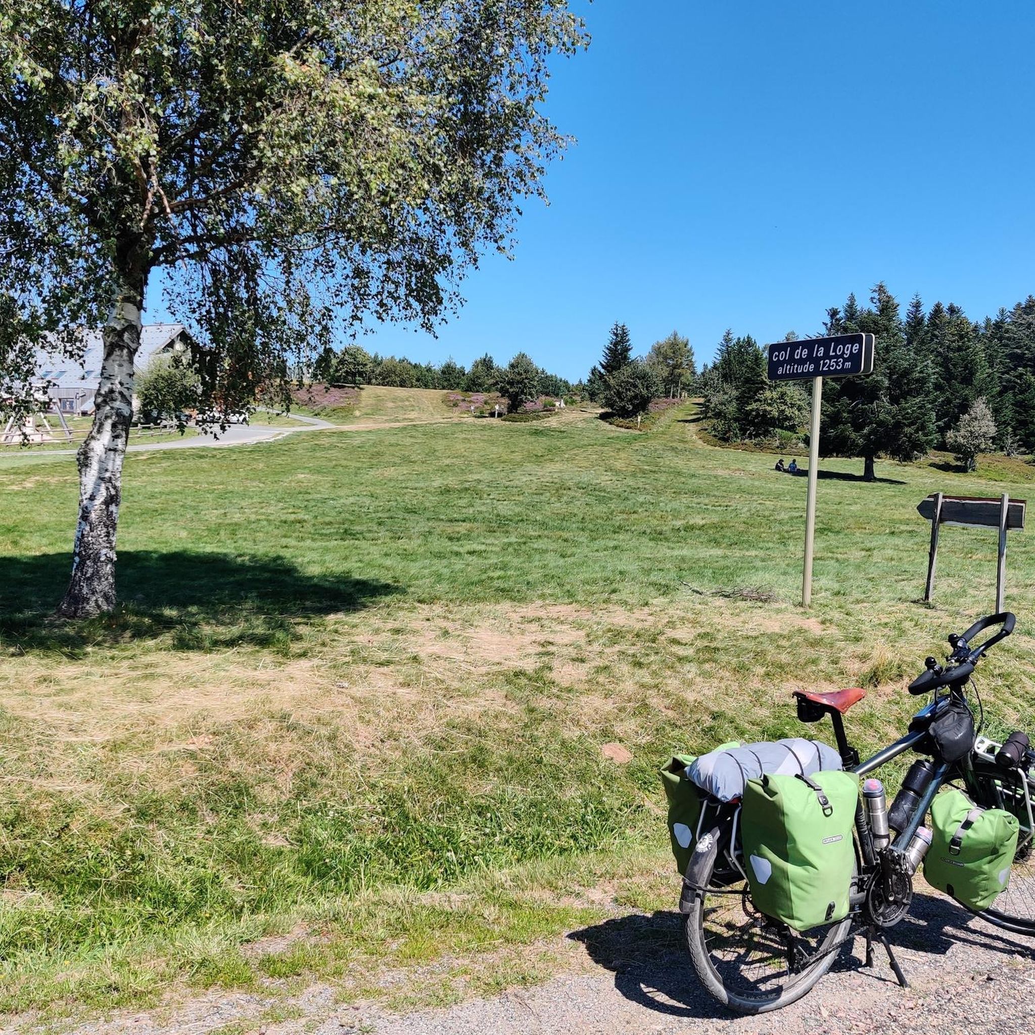
A great little pass with a nice view to enjoy from Vollore. Follow it up with the Col des Sagnes because the descent between the two is fantastic!
1
0

Located at 1,110 meters on the heights of Noirétable, the sanctuary of Notre-Dame de l’Hermitage is a reception site (pilgrims, visitors, tourists) managed by the congregation of the sisters of Notre-Dame de la Salette.
0
0

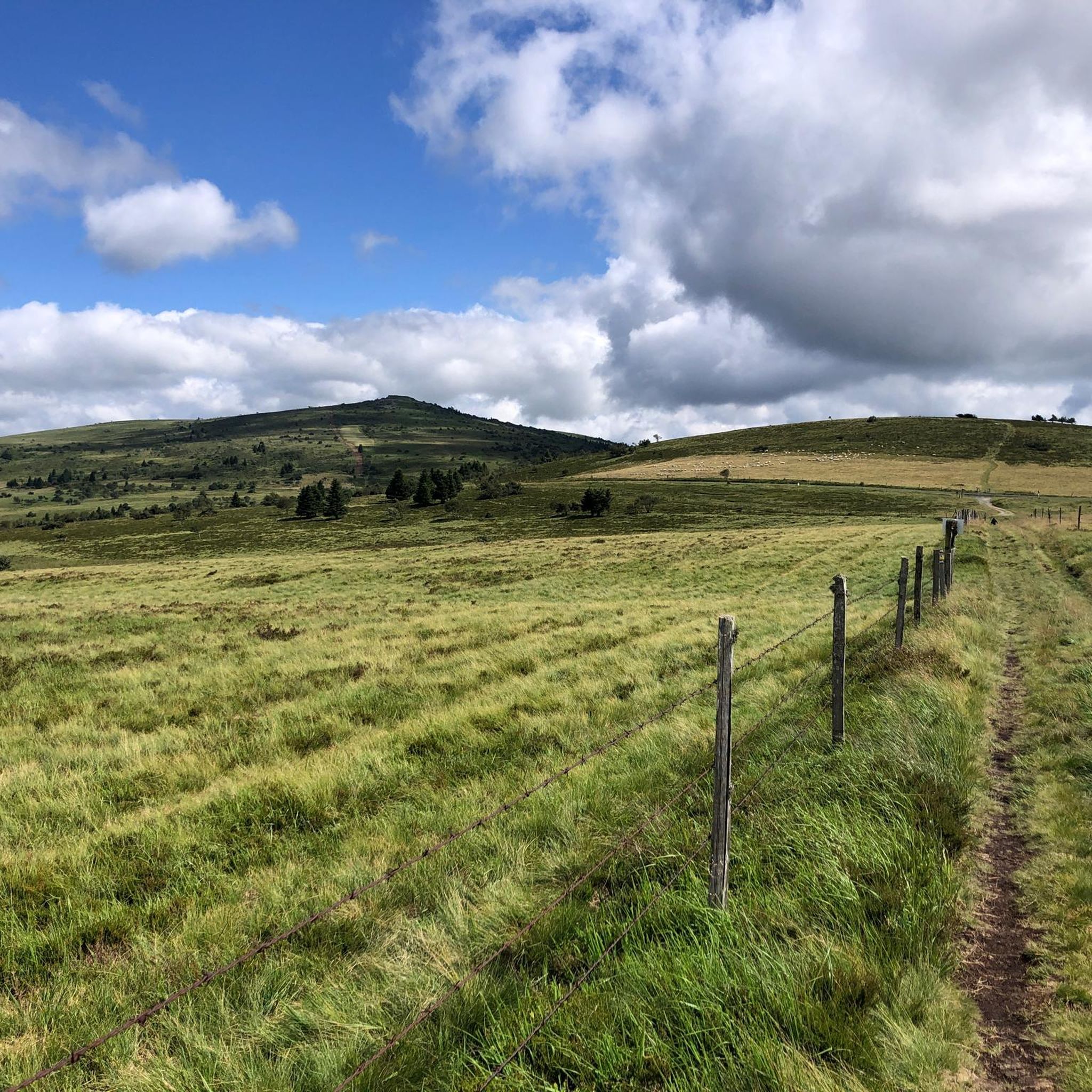
The highest point of the Forez mountains, Pierre-sur-Haute rises to an altitude of 1,634 meters. At the summit, terrestrial and military broadcasting antennas were erected by NATO during the Cold War. They are still in operation today.
0
0
Frequently Asked Questions
How many running routes are available around La Chambonie?
There are over 80 dedicated running routes around La Chambonie, catering to various preferences and skill levels. These trails traverse the diverse landscapes of the Forez mountains and the Livradois-Forez Regional Natural Park.
Are there running routes for all skill levels in La Chambonie?
Yes, the La Chambonie area offers a wide range of running routes. While many are moderate (34 routes) or difficult (45 routes) with significant elevation changes, there is also at least one easy route available, ensuring options for beginners and experienced trail runners alike.
What natural features or viewpoints can I expect on runs around La Chambonie?
Jogging routes around La Chambonie offer stunning natural features. You'll encounter dense conifer and beech forests, green meadows, and high-altitude moors known as 'Hautes Chaumes.' These plateaus, especially above 1,400 meters, provide expansive views that can stretch to the distant Alps and Mont Blanc on clear days. Notable points of interest include the Béal Pass and Col de la Loge, which are often part of popular routes.
Are there many circular running routes in the La Chambonie area?
Yes, many of the running routes around La Chambonie are designed as loops, offering convenient starting and ending points. For example, the popular Col de la Loge (1,253 m) loop from La Montagnette is a 14.9 km trail, and the Peyre Mayou Summit loop from La Chambonie is a challenging 40.7 km option.
Can I bring my dog on the running trails near La Chambonie?
The Livradois-Forez Regional Natural Park, where La Chambonie is located, generally welcomes dogs on trails, provided they are kept under control, especially in areas with livestock or protected wildlife. It's always best to check specific trail regulations or signage before heading out with your canine companion.
Are there family-friendly jogging trails around La Chambonie?
While many routes in the Forez mountains involve significant elevation, there are options suitable for families. Look for routes designated as 'easy' or shorter 'moderate' loops that avoid extreme climbs. The varied terrain of forests and meadows can make for an engaging experience for all ages.
Where can I find parking for jogging routes near La Chambonie?
Parking is typically available at common starting points for trails within the Livradois-Forez Regional Natural Park. For routes like those around Col de la Loge, designated parking areas are usually present. Nearby towns such as Ambert and Chalmazel, which are within an hour's drive, also serve as access points to the wider trail network.
What is the Espace Trail Massif du Forez and how does it relate to running in La Chambonie?
The Espace Trail Massif du Forez is a dedicated trail running area within the Livradois-Forez Regional Natural Park, offering 27 varied trails totaling over 400 km. While La Chambonie is a small commune, its proximity to this extensive network means runners can easily access these well-marked trails from various starting points, including towns within an hour's drive, providing a wealth of options for all levels.
What is the best time of year for running in La Chambonie?
The diverse landscapes of La Chambonie offer unique running experiences throughout the year. Spring and autumn provide pleasant temperatures and vibrant scenery. Summer is ideal for higher altitude runs, while winter can offer challenging and beautiful snow-covered trails, though proper gear and caution are advised for winter conditions.
Are the running routes around La Chambonie suitable for altitude training?
Yes, with an average altitude of around 1,020 meters and elevations within the commune ranging from 940 to 1,383 meters, La Chambonie provides excellent opportunities for altitude training. The Forez mountains offer significant elevation changes, which can enhance cardiovascular fitness for runners.
What do other runners say about the trails in La Chambonie?
The running routes around La Chambonie are highly regarded by the komoot community, boasting an average rating of 5.0 stars from over 10 reviews. More than 1000 runners have used komoot to explore this area, often praising the varied mountain terrain, extensive forests, and the rewarding climbs through picturesque passes like the Col de la Loge.
Are there any challenging long-distance running options near La Chambonie?
Absolutely. For those seeking a significant challenge, the region offers demanding long-distance routes. A notable example is the Peyre Mayou Summit loop from La Chambonie, a difficult 40.7 km trail with over 1,000 meters of elevation gain, typically taking around 5 hours to complete.
Most popular attractions around La Chambonie

Get inspired with the komoot mobile app


Explore more
Browse the best Running Trails & Routes in other regions.
