The best road cycling routes around Bad Münstereifel
4.6
(789)
12,069
riders
98
rides
Road cycling around Bad Münstereifel features routes through the scenic Sahrbach Valley and past historic castles. The region is characterized by rolling hills, river valleys, and open landscapes, providing varied terrain for road cyclists. Elevations typically range from moderate climbs to longer ascents, with many routes offering views of the surrounding Eifel countryside. The area's network of roads connects small villages and natural features, making it suitable for exploring by bike.
Best road cycling routes around Bad Münstereifel
- The most…
Last updated: August 20, 2026
4.0
(6)
100
riders
56.2km
02:43
690m
690m
Moderate road ride. Good fitness required. Some segments of this route may be unpaved and difficult to ride.
4.4
(25)
321
riders
Moderate road ride. Good fitness required. Some segments of this route may be unpaved and difficult to ride.

Sign up for free
5.0
(1)
47
riders
Moderate road ride. Good fitness required. Mostly well-paved surfaces and easy to ride.
41
riders
Moderate road ride. Good fitness required. Mostly well-paved surfaces and easy to ride.
36
riders
74.7km
03:57
1,300m
1,300m
Hard road ride. Very good fitness required. Some segments of this route may be unpaved and difficult to ride.
Get access to more routes and recommendations from other explorers.
Sign up for free
Already have an account?
Our route recommendations are based on thousands of hikes, rides, and runs completed by other people on komoot.
Start today with a free account
Your next adventure awaits.
Login or Signup

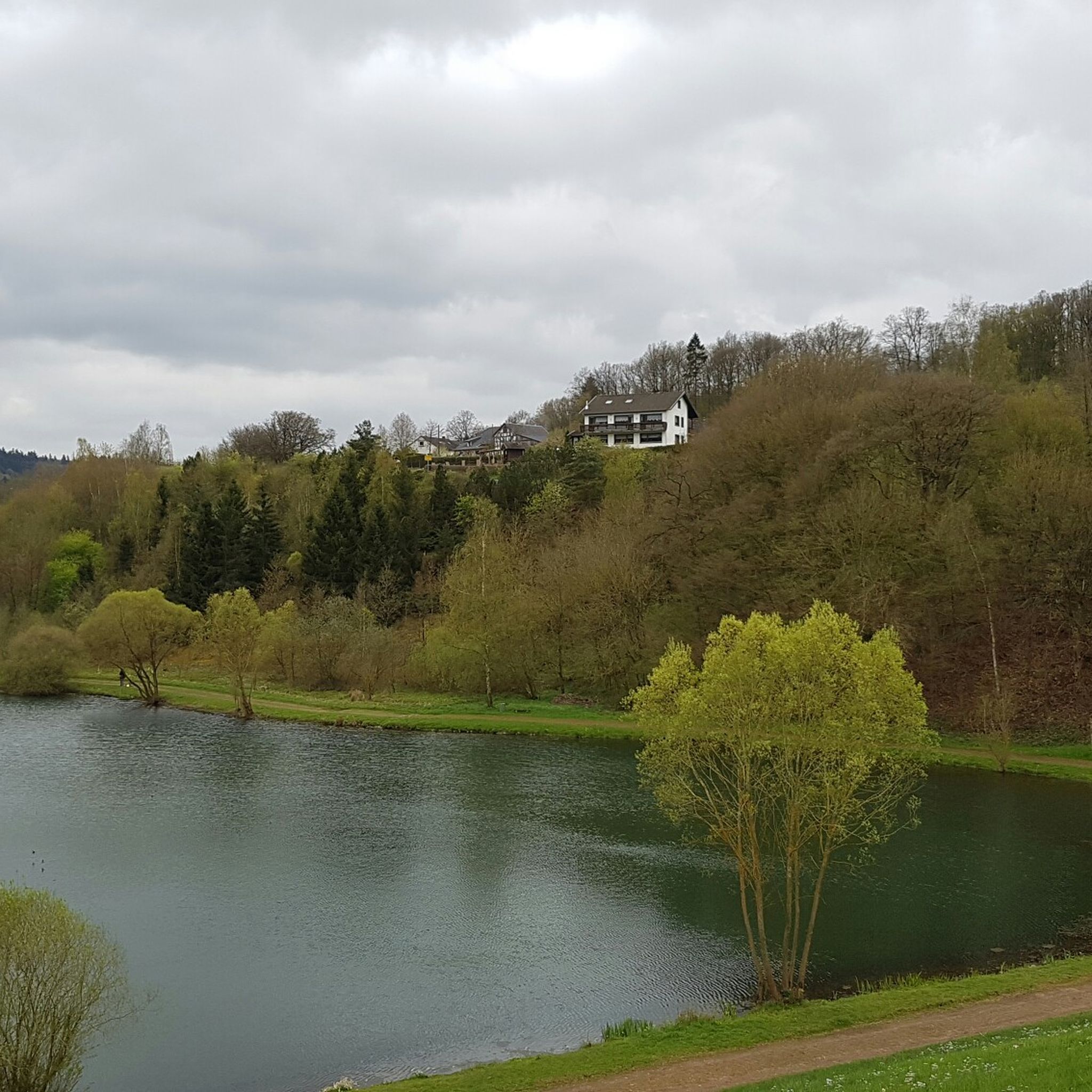
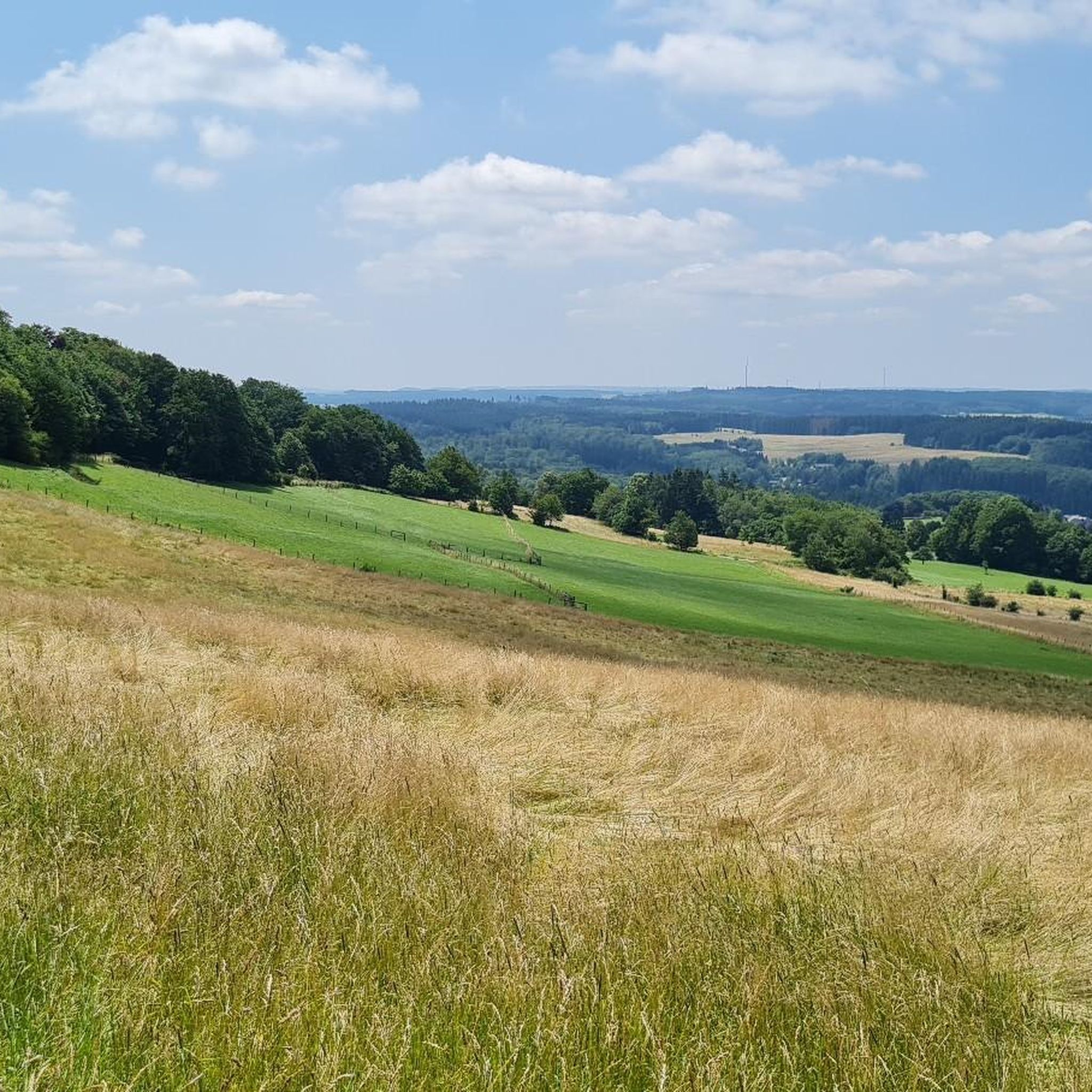
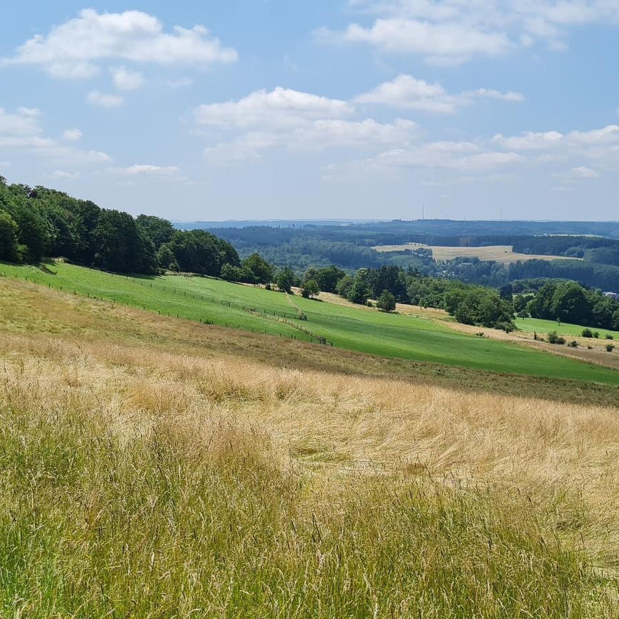
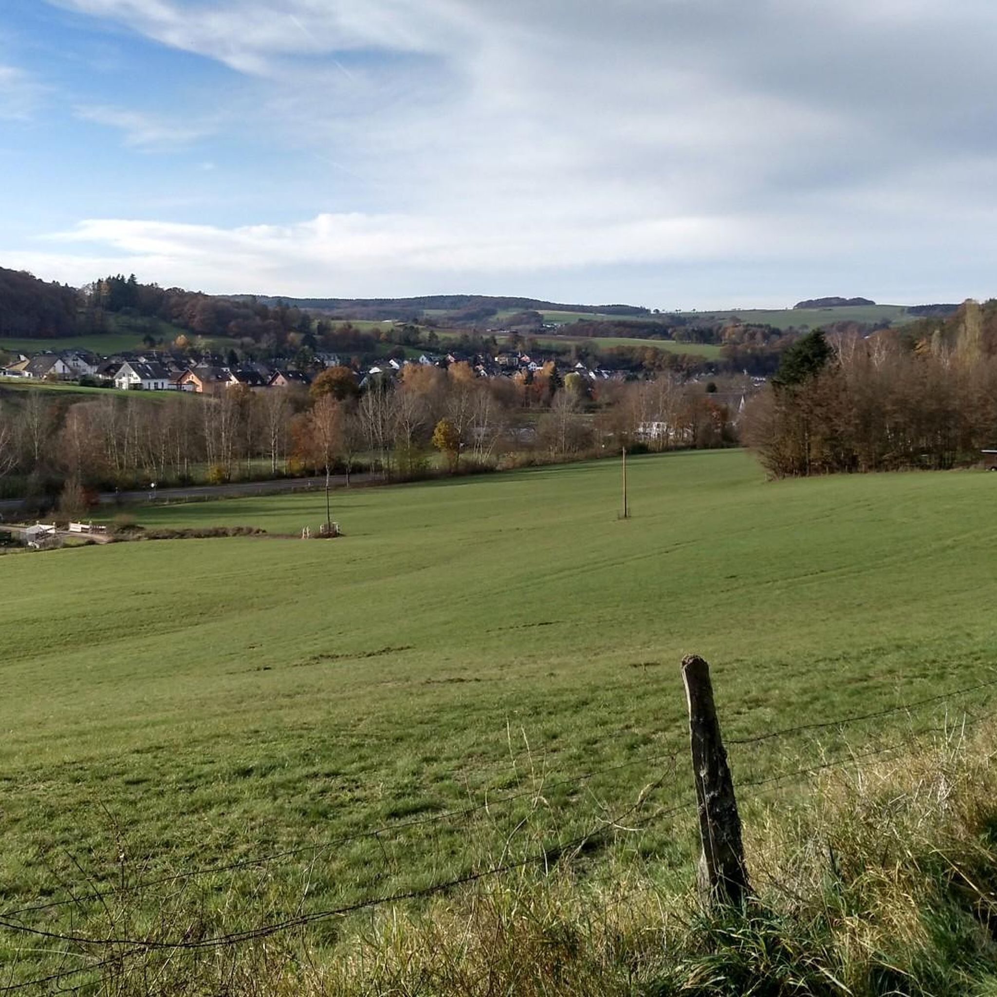

Other adventures around Bad Münstereifel

Tips from the Community

Beautiful cycle path along the Ahr
0
0

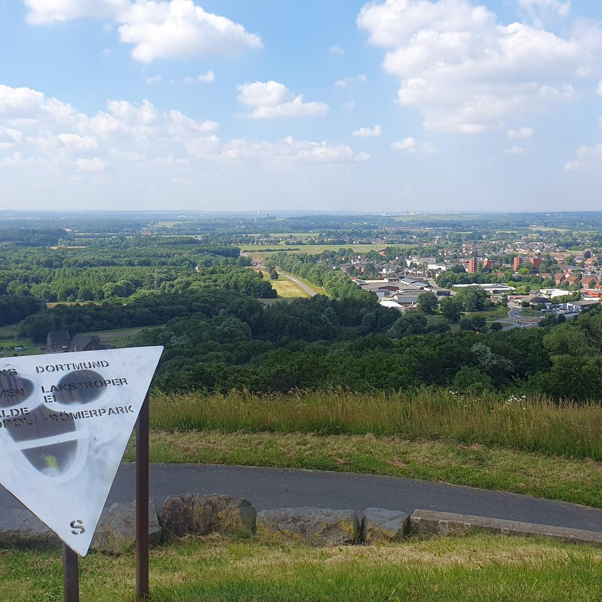
View over the countryside with a bench for a short break.
0
0

Really good condition of the trail. Together with the cycle path between Wasserscheide and Schuld, in my opinion, you have a good opportunity here to connect the Erft and Ahr. Of course with the corresponding altitude meters.
0
0
Good condition of the path. Together with the cycle path from Wasserscheide to Eicherscheid, it is a very good option to connect the Ahr and Erft rivers, naturally with the corresponding altitude meters.
0
0

At the moment the road to Altenahr is closed here
0
0

The (almost without exception) well-preserved half-timbered houses dominate the spacious village square in Hostel. Often, the founders' inscriptions can still be read on the beams of the timber framing, many of which indicate construction in the 1680s.
3
0

I immediately fell in love with this highlight. A fantastic valley road, fairly fresh ground, little traffic, lots of greenery, a few beautiful curves, a gentle downhill towards Altenahr, perfect for picking up the pace.
1
0
I immediately fell in love with this highlight. A fantastic valley road, fairly fresh ground, little traffic, lots of greenery, a few beautiful curves, a gentle downhill towards Altenahr, perfect for picking up the pace.
1
0
Frequently Asked Questions
How many road cycling routes are available around Bad Münstereifel?
There are nearly 100 road cycling routes in the Bad Münstereifel area, offering a wide range of options for different skill levels. You'll find everything from easier rides to more challenging tours through the Eifel landscape.
What kind of terrain can I expect on road cycling routes in Bad Münstereifel?
The region around Bad Münstereifel is characterized by rolling hills, scenic river valleys like the Sahrbach, and open landscapes. You can expect varied terrain with moderate climbs and longer ascents, providing a good workout while enjoying views of the Eifel countryside.
Are there challenging road cycling routes for experienced riders?
Yes, Bad Münstereifel offers 26 challenging road cycling routes for experienced riders. These routes often feature significant elevation gains and longer distances, providing a demanding and rewarding experience. An example is the Sahrbach Valley Scenic Road – Ahr loop near Mayschoss loop from Houverath, which covers 40.7 miles (65.4 km) with over 800 meters of elevation gain.
Are there any easy or beginner-friendly road cycling routes in Bad Münstereifel?
Absolutely. There are 12 easy road cycling routes around Bad Münstereifel, perfect for beginners or those looking for a more relaxed ride. These routes typically have less elevation and shorter distances, allowing you to enjoy the scenery without excessive effort.
What are some scenic highlights or landmarks I can see along the road cycling routes?
Many routes pass by notable natural and historical landmarks. You might encounter features like the Watershed Bad Münstereifel, or the impressive Katzensteine Sandstone Rock Formation. Historic castles like Satzvey Castle are also often visible from or near the routes, such as on the Satzvey Castle – Seepark Zülpich loop from Bad Münstereifel tour.
What is the best season for road cycling in Bad Münstereifel?
The best season for road cycling in Bad Münstereifel is generally from spring to autumn (April to October). During these months, the weather is typically mild, and the landscapes are vibrant. Summer offers longer daylight hours, while spring and autumn provide pleasant temperatures and beautiful foliage.
Are there circular road cycling routes available?
Yes, many of the road cycling routes around Bad Münstereifel are designed as circular loops, allowing you to start and end your tour in the same location. An example is the Swan Pond, Blankenheim – Watershed Bad Münstereifel loop from Bad Münstereifel, which is a 42.4 miles (68.3 km) circular trail.
What do other road cyclists say about the routes in Bad Münstereifel?
The road cycling routes in Bad Münstereifel are highly rated by the komoot community, with an average score of 4.4 stars from over 80 reviews. Cyclists often praise the varied terrain, the scenic valleys, and the well-connected network of roads that make exploring the Eifel region enjoyable.
How long do road cycling routes in Bad Münstereifel typically take to complete?
The duration of routes varies significantly based on distance, elevation, and your cycling speed. For example, a moderate route like the Hubertusweg Pathway – Burg Kirspenich loop from Bad Münstereifel, which is 19 miles (30.6 km), might take around 1 hour 20 minutes. Longer routes can take 3 to 4 hours or more.
Are there any specific climbs or mountain passes for road cyclists in the area?
Yes, the Eifel region around Bad Münstereifel features several notable climbs and passes. You can challenge yourself on ascents like the Winnen Climb or the Linder Höhe Pass from Brück, which offer rewarding views from the top.
Can I find cafes or places to stop for refreshments along the routes?
Many road cycling routes in Bad Münstereifel pass through or near small villages. While specific cafes are not always directly on the route, you can often find opportunities for refreshments in these villages, especially in Bad Münstereifel itself and other larger towns along the way. Planning your stops in advance is recommended for longer tours.
Most popular routes around Bad Münstereifel
Most popular attractions around Bad Münstereifel

Get inspired with the komoot mobile app


Explore more
Browse the best Road cycling routes in other regions.
