The best MTB trails around Saint-Julien-Molin-Molette
4.4
(340)
1,980
riders
213
rides
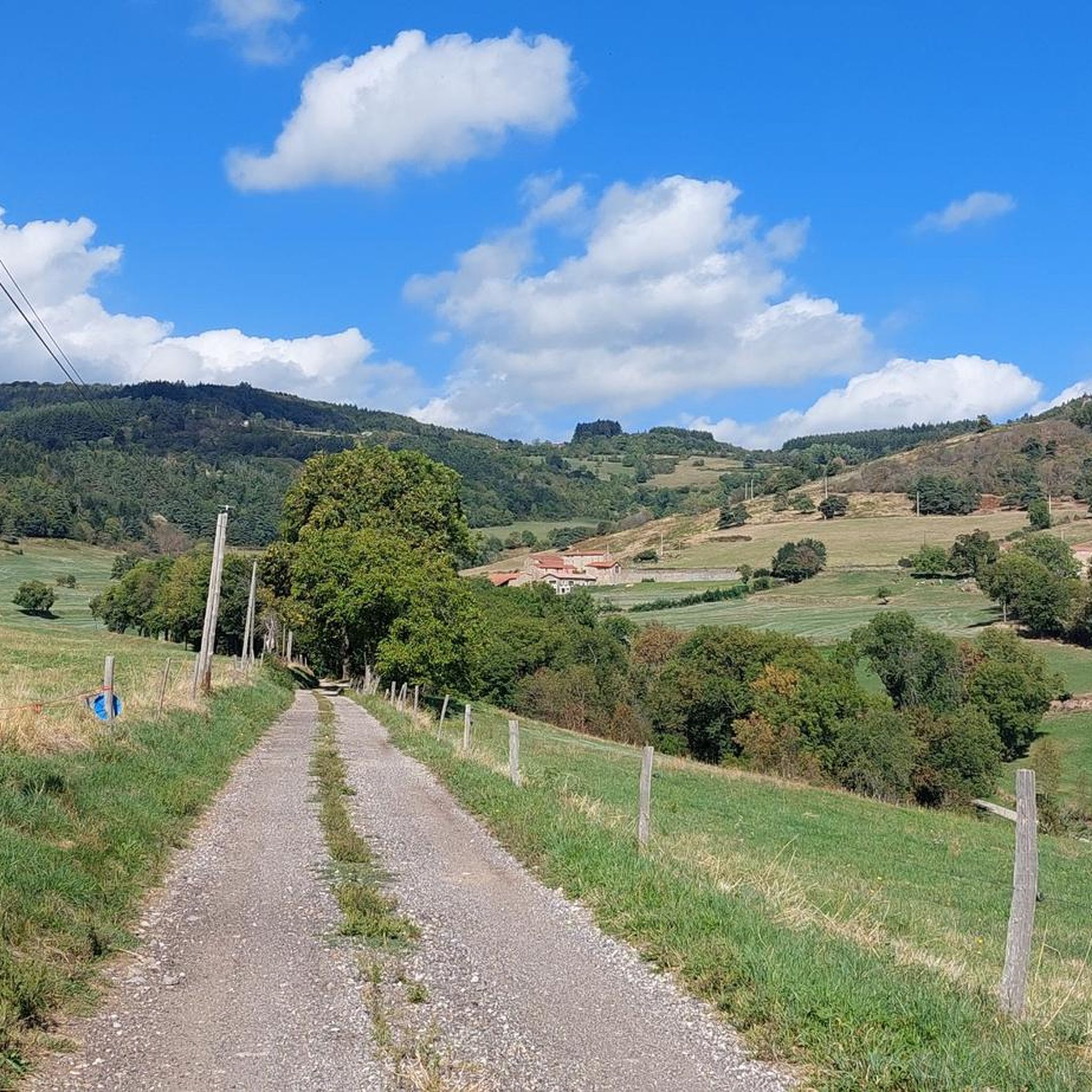
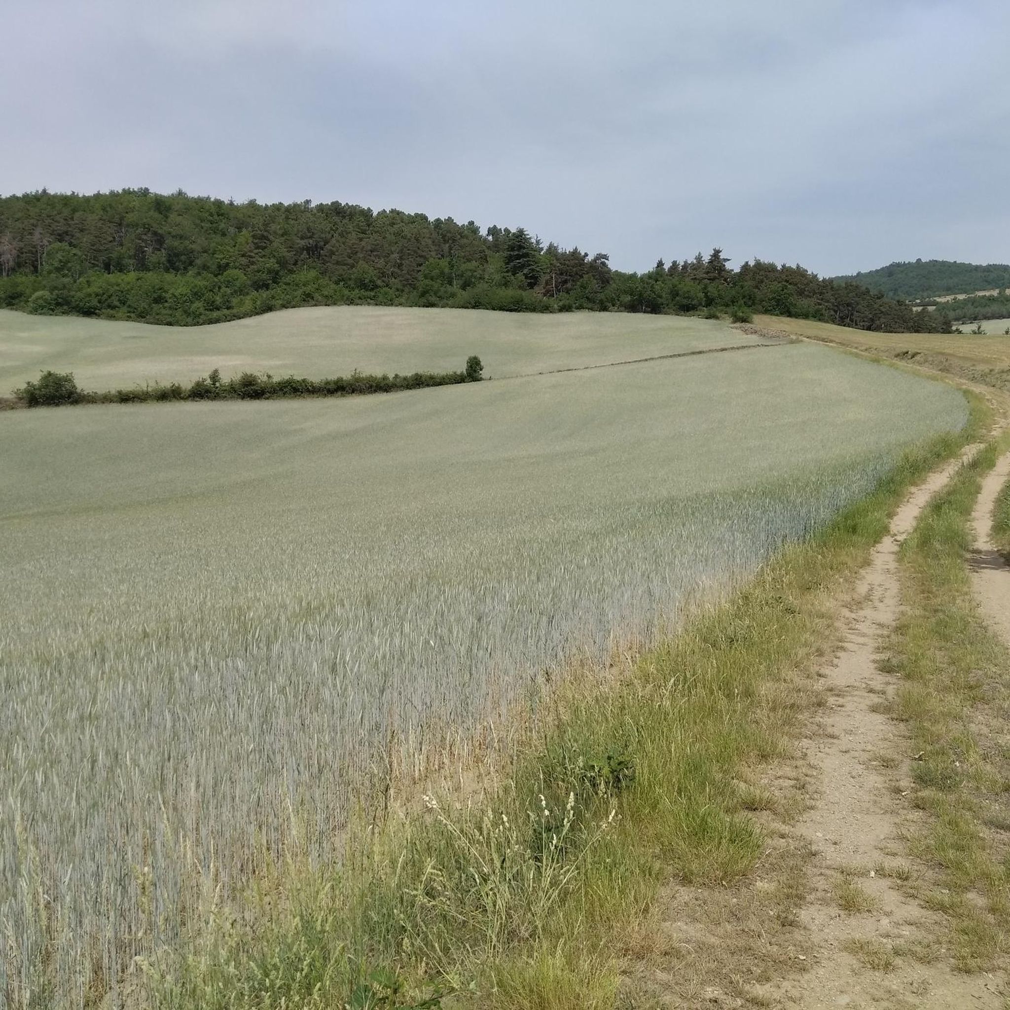
Mountain biking Saint-Julien-Molin-Molette offers diverse terrain within the Pilat massif, characterized by altitudes ranging from 441 to 880 meters. The region features varied landscapes including the Ternay and Déôme valleys, forested areas, and prominent ridges like the Crêts du Pilat. This geographical setting provides a range of trails suitable for different skill levels, from moderate paths to more challenging ascents. The area's natural features contribute to a dynamic mountain biking experience.
Best mountain bike trails around Saint-Julien-Molin-Molette
- The most popular…
Last updated: July 1, 2026
4.5
(2)
15
riders
Moderate mountain bike ride. Good fitness required. Suitable for all skill levels.
4.7
(9)
19
riders
17.8km
01:48
520m
520m
Moderate mountain bike ride. Good fitness required. Suitable for all skill levels.

Sign up for free
5.0
(2)
16
riders
18.5km
02:02
640m
640m
Moderate mountain bike ride. Good fitness required. Suitable for all skill levels.
4.5
(16)
104
riders
38.0km
03:57
1,190m
1,190m
Hard mountain bike ride. Very good fitness required. Suitable for all skill levels.
3.0
(1)
13
riders
53.4km
05:15
1,450m
1,450m
Hard mountain bike ride. Very good fitness required. Suitable for all skill levels.
Get access to more routes and recommendations from other explorers.
Sign up for free
Already have an account?
Our route recommendations are based on thousands of hikes, rides, and runs completed by other people on komoot.
Start today with a free account
Your next adventure awaits.
Login or Signup

Tips from the Community

Arrival at 1361m!: wind 😉
0
0

The water in the fountain is super fresh, very beautiful view and good refuge
0
0

On the Crêt de l'Oeillon, at 1361 m altitude. Take the time to go around to reach the viewpoint towards the East, over the Rhône valley and the Alps.
0
0

Very beautiful belvedere which offers a 180-degree panorama of the southern slope of Pilat. We can distinguish the valley, the Rhône, the Monts d'Ardèche or even the summits of the Vercors (with the 3 easily recognizable peaks).
0
0

The Auberge de la Jasserie is located at an altitude of 1,310 meters, at the foot of Crêt de la Perdrix. The inn allows you to eat but also offers beds. Count 46 euros for one night with meals plus breakfast. The welcome is great!
0
0
Very beautiful belvedere which offers a 180-degree panorama of the southern slope of Pilat. We can distinguish the valley, the Rhône, the Monts d'Ardèche or even the summits of the Vercors.
0
0

Alright . sometimes very stony path but it passes
2
0
Frequently Asked Questions
How many mountain bike trails are available around Saint-Julien-Molin-Molette?
There are over 200 mountain bike routes in the Saint-Julien-Molin-Molette area, offering a wide variety of options for different skill levels and preferences. The komoot community has explored nearly 2000 of these routes.
What kind of terrain can I expect when mountain biking in Saint-Julien-Molin-Molette?
The terrain around Saint-Julien-Molin-Molette is diverse, situated within the Pilat massif with altitudes ranging from 441 to 880 meters. You'll encounter varied landscapes including the scenic Ternay and Déôme valleys, extensive forested areas, and prominent ridges like the Crêts du Pilat. Expect a mix of climbs, descents, and technical sections.
Are there easy mountain bike trails suitable for beginners?
Yes, there are 17 easy mountain bike trails around Saint-Julien-Molin-Molette. These routes are generally less demanding in terms of elevation gain and technical difficulty, making them suitable for beginners or those looking for a more relaxed ride.
Are there challenging mountain bike trails for experienced riders?
Absolutely. For experienced riders, there are 48 difficult mountain bike trails in the area. These routes often feature significant elevation changes, technical single tracks, and more demanding terrain, providing a robust challenge. An example is the View of the Gier valley – View from Crêt du Rachat loop from Saint-Julien-Molin-Molette, which covers 37.8 km with over 1100 meters of ascent.
What natural features or landmarks can I see while mountain biking?
The region offers numerous natural highlights. You can explore the valleys of the Ternay and Déôme rivers, ride through dense forests, and encounter impressive viewpoints. Notable landmarks include mountain passes like Col de l'Œillon (1233 m) and Col du Fayet. You might also pass by summits such as Crêt de l'Œillon or The Three Teeth, and enjoy panoramic views like the View of the Rhône Valley and the Alps from the Col du Gratteau.
Are there many circular mountain bike routes available?
Yes, many of the mountain bike routes around Saint-Julien-Molin-Molette are designed as loops, allowing you to start and finish at the same point. For example, the Les chirattes loop from Saint-Marcel-lès-Annonay is a popular moderate circular trail winding through natural landscapes.
When is the best time of year to go mountain biking in Saint-Julien-Molin-Molette?
The best time to go mountain biking in Saint-Julien-Molin-Molette is generally from spring through autumn. During these seasons, the weather is typically mild, and the trails are in good condition. Summer offers warm temperatures, while spring and autumn provide pleasant riding conditions with vibrant foliage. Winter can bring snow to higher elevations, making some trails inaccessible or more challenging.
Are the mountain bike trails around Saint-Julien-Molin-Molette family-friendly?
While many trails in the Pilat massif can be challenging, there are easier routes suitable for families. Look for the 17 easy-rated trails, which typically have less steep climbs and smoother paths. It's always recommended to check the specific route details on komoot for distance, elevation, and terrain to ensure it matches your family's ability.
Can I bring my dog on the mountain bike trails?
Generally, dogs are permitted on many trails in the Pilat Regional Natural Park, but it's crucial to keep them under control, preferably on a leash, to protect wildlife and ensure the safety of other trail users. Always check local signage and regulations for specific trails or protected areas before heading out with your dog.
What do other mountain bikers enjoy the most about mountain biking in Saint-Julien-Molin-Molette?
The area is highly rated by the komoot community, with an average score of 4.4 stars from over 300 reviews. Reviewers often praise the diverse terrain, the scenic beauty of the Pilat massif, and the variety of trails catering to all skill levels. The mix of forested sections and open valleys provides a dynamic and engaging riding experience.
Is parking available at the trailheads?
While specific parking details vary by trailhead, many popular starting points for mountain bike routes in the Saint-Julien-Molin-Molette area offer designated parking spaces. It's advisable to check the route description on komoot for information on recommended starting points and parking availability for your chosen trail.
Are there any particularly long or demanding routes for endurance training?
Yes, for those seeking longer and more demanding rides, routes like the Mountainbike loop from Saint-Appolinard offer significant challenges. This route spans over 50 km with more than 1400 meters of elevation gain, making it ideal for endurance training and experienced riders.
Most popular routes around Saint-Julien-Molin-Molette
Most popular attractions around Saint-Julien-Molin-Molette

Get inspired with the komoot mobile app


Explore more
Browse the best MTB trails in other regions.
