The best cycling routes around Saint-Urbain
4.4
(233)
1,613
riders
292
rides
Touring cycling routes around Saint-Urbain traverse a region characterized by diverse landscapes, including mountains, lakes, and rivers within the Charlevoix UNESCO World Biosphere Reserve. The terrain features winding slopes and elevation changes, shaped by a 350-million-year-old crater. Cyclists can experience views of the Saint Lawrence River and the mountainous inland.
Best touring cycling routes around Saint-Urbain
- The most popular touring cycling route is Stream in the Forest Trail – Fontaine Blanche in Plougastel loop from Dirinon, a 19.4 miles…
Last updated: June 24, 2026
4.0
(1)
9
riders
Hard bike ride. Good fitness required. You may need to push your bike for some segments of this route.
4.0
(2)
8
riders
28.7km
01:51
360m
360m
Moderate bike ride. Good fitness required. Mostly paved surfaces. Suitable for all skill levels.

Sign up for free
5.0
(2)
8
riders
34.3km
02:17
510m
510m
Hard bike ride. Very good fitness required. Mostly paved surfaces. Suitable for all skill levels.
2
riders
11.0km
00:44
150m
150m
Moderate bike ride. Good fitness required. Mostly paved surfaces. Suitable for all skill levels.
5.0
(2)
10
riders
24.3km
01:58
340m
340m
Hard bike ride. Good fitness required. You may need to push your bike for some segments of this route.
Get access to more routes and recommendations from other explorers.
Sign up for free
Already have an account?
Our route recommendations are based on thousands of hikes, rides, and runs completed by other people on komoot.
Start today with a free account
Your next adventure awaits.
Login or Signup
Tips from the Community

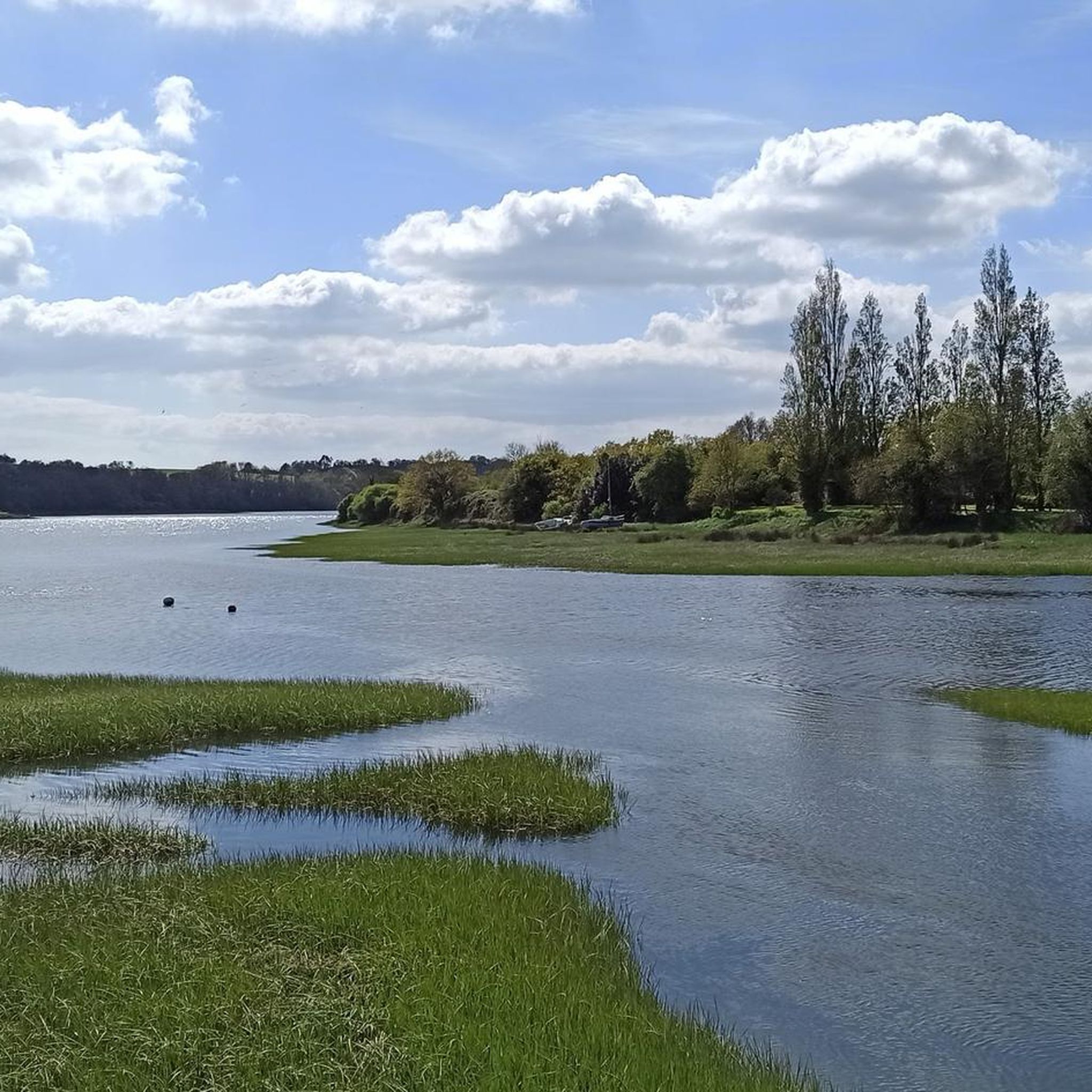
A magnificent landscape on both sides!!!
0
0

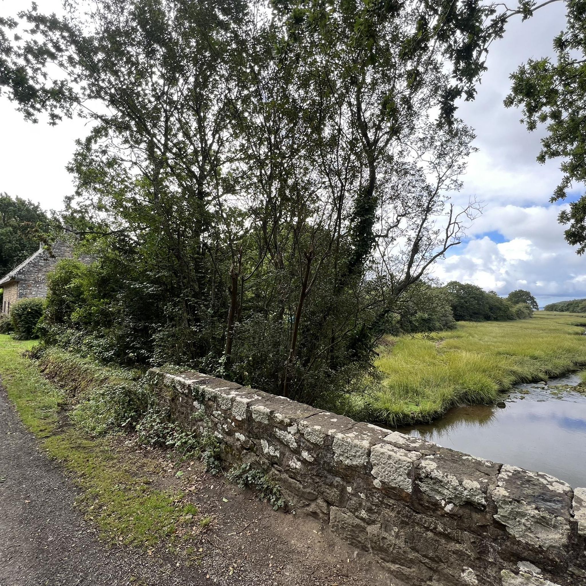
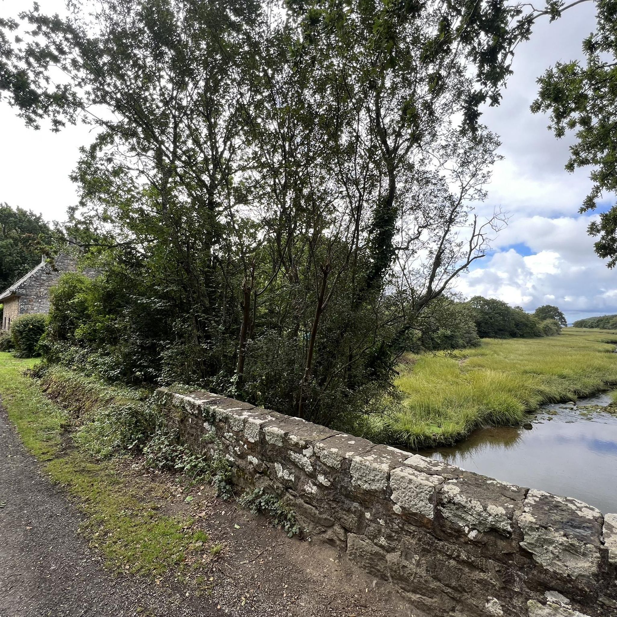
Built for pilgrims in 1429, it was first a hospice dedicated to Saint Anne, then became a chapel in 1667. It is made of Logonna stone, recognizable by its yellow color. (Source: Tourist Office)
0
0

Beautiful Abbey, the gardens, the cemetery and the attached chapels, as well as the medieval village that surrounds it convey a feeling of travelling back in time...
0
0

Nice view of the bay and easy to drive as no cars can cross this small cycle and pedestrian bridge.
3
0

Daoulas is a commune located on the Mignonne estuary which flows into Brest harbor. Lurking in the shadow of the magnificent railway viaduct which connects Brest to Quimper, the city remains no less welcoming. Many shops welcome the curious, coming via the GR 34 or for a Sunday stroll. Its abbey, the Pont mill and the Saint-Anne chapel belong to the monuments that arouse everyone's curiosity.
0
0

Nestled in the picturesque backdrop of the Elorn and the port of Brest, the “Pont de Plougastel”, better known as “Pont Albert-Louppe”, rises into the sky. It served as the only connection across the river from 1930 to 1994, before the Iroise Bridge was added. Before this bridge dominated the landscape, people were solely dependent on ferry services. The majestic construction of the Pont Albert-Louppe stretches over 880 meters and towers 42 meters above sea level. What makes this bridge particularly remarkable are its three arches - with the largest of them holding the world record for concrete arch bridges at 186.4 meters. Nearby and in impressive contrast is the Iroise Bridge, built between 1991 and 1994, which crosses the Elorn between the towns of Relecq-Kerhuon and Plougastel. With a length of 800 meters and a span of 400 meters between its two pylons - which stand 83 meters above the deck - it was the bridge with the longest span in the world when it opened. It connects Brest with Quimper in Finistère and is reserved exclusively for car traffic. The closed Pont Albert-Louppe offers a privileged vantage point for pedestrians and photographers. From here you can not only capture the imposing Iroise Bridge in all its glory, but also enjoy a breathtaking view of the Elorn and the port of Brest. Among France's cable-stayed bridges, the Iroise Bridge takes third place, after the Pont de Normandie and the Pont de Saint-Nazaire, and ahead of the impressive Viaduc de Millau.
0
0

The Albert-Louppe bridge, first called the Plougastel bridge and still called the first Plougastel bridge, crosses the mouth of the Élorn in the harbor of Brest to connect the communes of Plougastel-Daoulas to Relecq-Kerhuon. It has been closed to cars since the construction of the new bridge. Access is therefore now reserved for pedestrians, bicycles, rollerblades, etc.
1
0

The “Plougastel Bridge”, also called “Albert Louppe Bridge”, was the only bridge from 1930 to 1994 (before that, only a ferry service existed). This bridge, measuring 880 meters long and raised 42 meters above sea level, is made up of three arches. In this sense, it is proud of the world span record for concrete arch bridges. Built between 1991 and 1994, the “new bridge” of Iroise appears in most of the photos presented here, but is only authorized for cars. It can boast of being one of the largest cable-stayed bridges (800 meters long, 400 meters between the two pylons, height of 83 meters above the deck). When the bridge was commissioned, it held the world record for the longest span.
5
0
Frequently Asked Questions
How many touring cycling routes are available around Saint-Urbain?
There are over 300 touring cycling routes around Saint-Urbain, offering a wide range of options for different skill levels. These routes traverse diverse landscapes, from mountainous terrain to river valleys.
What is the general difficulty level of touring cycling routes in Saint-Urbain?
Saint-Urbain offers a mix of difficulties. You'll find approximately 39 easy routes, 124 moderate routes, and 137 difficult routes. The region is known for its challenging terrain with significant elevation changes, shaped by a 350-million-year-old crater.
Are there any circular touring cycling routes in Saint-Urbain?
Yes, many routes in the region are designed as loops. For example, the Pointe du Bindy – Île du Bendy loop from Irvillac is a moderate 29.4 km path offering varied terrain and coastal views. Another option is the Albert Louppe Bridge – View of quiet harbor loop from Daoulas, a 34.3 km difficult route through coastal and riverside landscapes.
What kind of landscapes can I expect to see while cycling around Saint-Urbain?
Cyclists can expect stunning natural landscapes, including mountainous views, boreal forests, lakes, and rivers. The region is part of the Charlevoix UNESCO World Biosphere Reserve, offering views of the Saint Lawrence River and the mountainous inland. Routes often trace the scenic Rivière du Gouffre or provide access to areas like the Parc national des Grands-Jardins.
What do other touring cyclists enjoy most about the routes in Saint-Urbain?
The touring cycling routes in Saint-Urbain are highly rated by the komoot community, with an average score of 4.4 stars from over 200 reviews. Cyclists often praise the diverse and challenging terrain, the breathtaking views of the Saint Lawrence River, and the immersive experience within the Charlevoix backcountry.
Are there any family-friendly touring cycling options in Saint-Urbain?
While many routes feature significant elevation, there are easier options available. For instance, the Green Cove – Daoulas Abbey loop from Daoulas is a moderate 10.9 km route with less elevation gain, suitable for families looking for a shorter ride. The broader Charlevoix region also has dedicated trails like those in the 'Mines' area, which are suitable for all levels.
What are some notable landmarks or attractions I can see along the touring cycling routes?
Along your rides, you might encounter historical and natural points of interest. These include the Château de La Roche-Maurice, the Saint-Sauveur Church of Le Faou, and the Saint-Yves Church of La Roche-Maurice. The region also offers access to the Parc national des Grands-Jardins and scenic views of the Rivière du Gouffre.
Are there any long-distance touring routes that connect to Saint-Urbain?
Saint-Urbain is centrally located within the Charlevoix region, which supports longer touring. The 'Golden Triangle' is a significant paved touring route within Charlevoix, covering approximately 330 kilometers between Baie-Saint-Paul, La Baie, and Saint-Siméon. While Saint-Urbain isn't a direct point on this specific route, its connectivity makes it a natural hub or access point for such regional tours.
What is the best time of year for touring cycling in Saint-Urbain?
The best time for touring cycling in Saint-Urbain is generally from spring through fall, when the weather is mild and the landscapes are vibrant. The region's diverse terrain and natural features are particularly enjoyable during these seasons. Winter cycling might be possible on specific trails, but many routes would be covered in snow.
Are there places to eat or stay near the cycling routes in Saint-Urbain?
Saint-Urbain and the surrounding Charlevoix region offer various agritourism establishments, providing opportunities for resupply and local culinary experiences during your cycling tour. While specific cafes or pubs directly on trails are not detailed, the municipality itself has amenities for visitors.
Where can I find parking for touring cycling routes in Saint-Urbain?
While specific parking locations for each route are not detailed, Saint-Urbain, as a hub for outdoor activities, generally provides parking options within the municipality or at trailheads. It's advisable to check local municipal information or specific route details for designated parking areas.
Are there any routes that offer views of the Saint Lawrence River?
Yes, many road cycling routes in the Charlevoix region, accessible from Saint-Urbain, offer breathtaking views of the Saint Lawrence River. Routes connecting picturesque villages like Baie-Saint-Paul and La Malbaie via the scenic St. Lawrence Route often provide these expansive vistas.
Most popular routes around Saint-Urbain
Most popular attractions around Saint-Urbain

Get inspired with the komoot mobile app


Explore more
Browse the best Cycling routes in other regions.
