The best road cycling routes around Carnet
4.3
(23)
699
riders
112
rides
Road cycling routes around Carnet are situated within the Manche department of Normandy, France, an area characterized by diverse landscapes. The region features an extensive coastline with varied seascapes, inland river valleys, and rolling hills. Cyclists can expect to encounter bocage, a landscape of small fields enclosed by hedges and trees, alongside open countryside. This varied terrain provides a range of gradients and scenic backdrops for road cycling.
Best road cycling routes around Carnet
- The most popular road cycling route…
Last updated: July 5, 2026
3.0
(1)
51
riders
57.0km
02:21
330m
330m
Moderate road ride. Good fitness required. Some segments of this route may be unpaved and difficult to ride.
10
riders
76.4km
03:31
880m
880m
Moderate road ride. Good fitness required. Mostly well-paved surfaces and easy to ride.

Sign up for free
4.0
(1)
20
riders
68.5km
02:52
430m
430m
Moderate road ride. Good fitness required. Some segments of this route may be unpaved and difficult to ride.
9
riders
82.2km
03:29
610m
610m
Moderate road ride. Good fitness required. Mostly well-paved surfaces and easy to ride.
7
riders
89.1km
04:02
980m
980m
Hard road ride. Very good fitness required. Some segments of this route may be unpaved and difficult to ride.
Get access to more routes and recommendations from other explorers.
Sign up for free
Already have an account?
Our route recommendations are based on thousands of hikes, rides, and runs completed by other people on komoot.
Start today with a free account
Your next adventure awaits.
Login or Signup

Tips from the Community


The crêperie le chat gourmand has changed its name to "L'Escapade du Couesnon" since 26/03/2026, (Certainly due to a change of ownership?)
0
0

Parts of the route along the sea do not exist or are forbidden for bicycles
0
0
Ministry of Culture open heritage platform: https://pop.culture.gouv.fr/notice/merimee/IA35049153
0
0
Crêperie Le Chat Gourmand, a crêperie in Mézières-sur-Couesnon (35)! Fabienne and Frédéric are delighted to welcome you to the heart of the magnificent Couesnon region. Our restaurant (Mézières-sur-Couesnon - 35), located near the Château de la Ville-Olivier, benefits from all the infrastructure that makes it a top tourist destination in Brittany, including numerous sporting activities (kayaking, canoeing, etc.). Our crêperie (Mézières-sur-Couesnon - 35) offers delicious, 100% homemade cuisine, using the finest fresh produce from local producers. Fred, our creative and experienced chef, invites you to discover a rich and diverse menu featuring inventive, high-quality cuisine at reasonable prices. Source: https://www.moncommerce35.fr/le-chat-gourmand-mezieres-sur-couesnon
0
0
Château de la Ville Olivier, 18th century. Located on the ancient Gallo-Roman road of La Chasteté, the château is protected by a wrought-iron gate surmounted by a marquis's coronet. The property, like that of La Sécardais, once belonged to the Marquisate of Bordage, in Ercé-près-Liffré. The gate is connected to granite posts surmounted by two lions and opens onto formal French gardens. Château de la Ville-Olivier is now a privately owned rental property. Source: https://www.mezieres-sur-couesnon.bzh/point-d-interet/chateau-de-la-ville-olivier/
0
0

During very high tides, your wheels may be in the water.
0
0

The Jardin Public is centrally located in the city and extends over several terraces offering sweeping views of the old town and the Château de Fougères. Created in 1865, the park combines features of an English landscape garden, French garden architecture, and botanical design.
1
0
Frequently Asked Questions
How many road cycling routes are available around Carnet?
There are over 100 road cycling routes around Carnet, offering a wide range of options for different skill levels. The komoot community has explored these routes extensively, with more than 600 road cyclists using komoot to discover the varied terrain.
What types of terrain can I expect on road cycling routes near Carnet?
The region around Carnet, part of the Manche department, offers diverse landscapes for road cycling. You can expect an extensive coastline with varied seascapes, picturesque inland river valleys like the Vire Valley, and rolling hills. The routes often traverse bocage, a landscape of small fields enclosed by hedges and trees, alongside open countryside, providing a range of gradients and scenic backdrops.
Are there road cycling routes suitable for beginners or those looking for an easier ride?
Yes, among the routes around Carnet, about 15 are classified as easy. The region's network offers options for different ability levels, ensuring that even those new to road cycling can find suitable paths to explore the Norman landscape.
Are there challenging road cycling routes for experienced cyclists?
Absolutely. For experienced cyclists seeking a challenge, there are 8 difficult routes available around Carnet. An example is the Cancale – Cancale loop from Saint-James, a demanding 75.7-mile (121.8 km) path that provides extensive coastal riding opportunities with significant elevation changes.
What are some notable viewpoints or attractions along the road cycling routes?
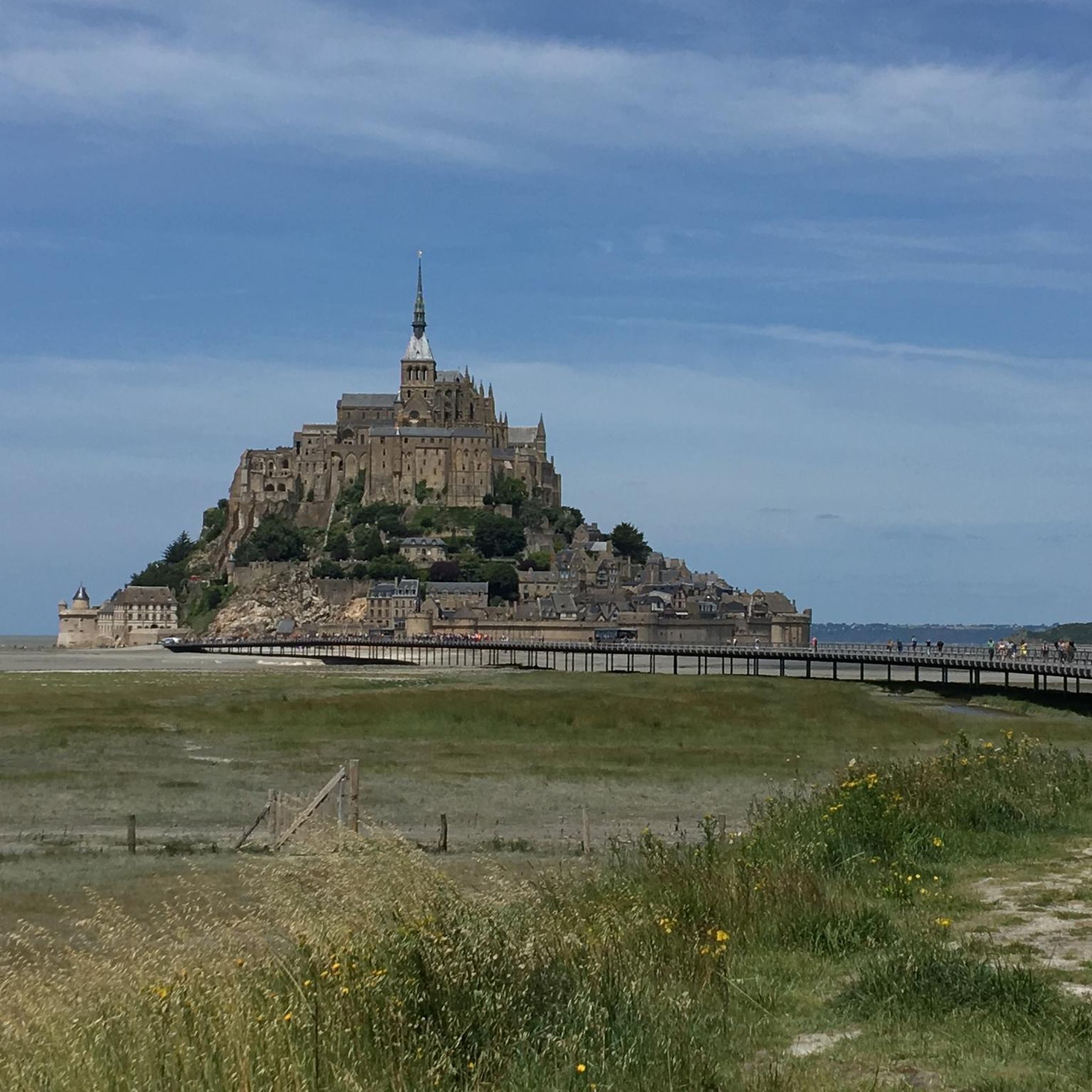
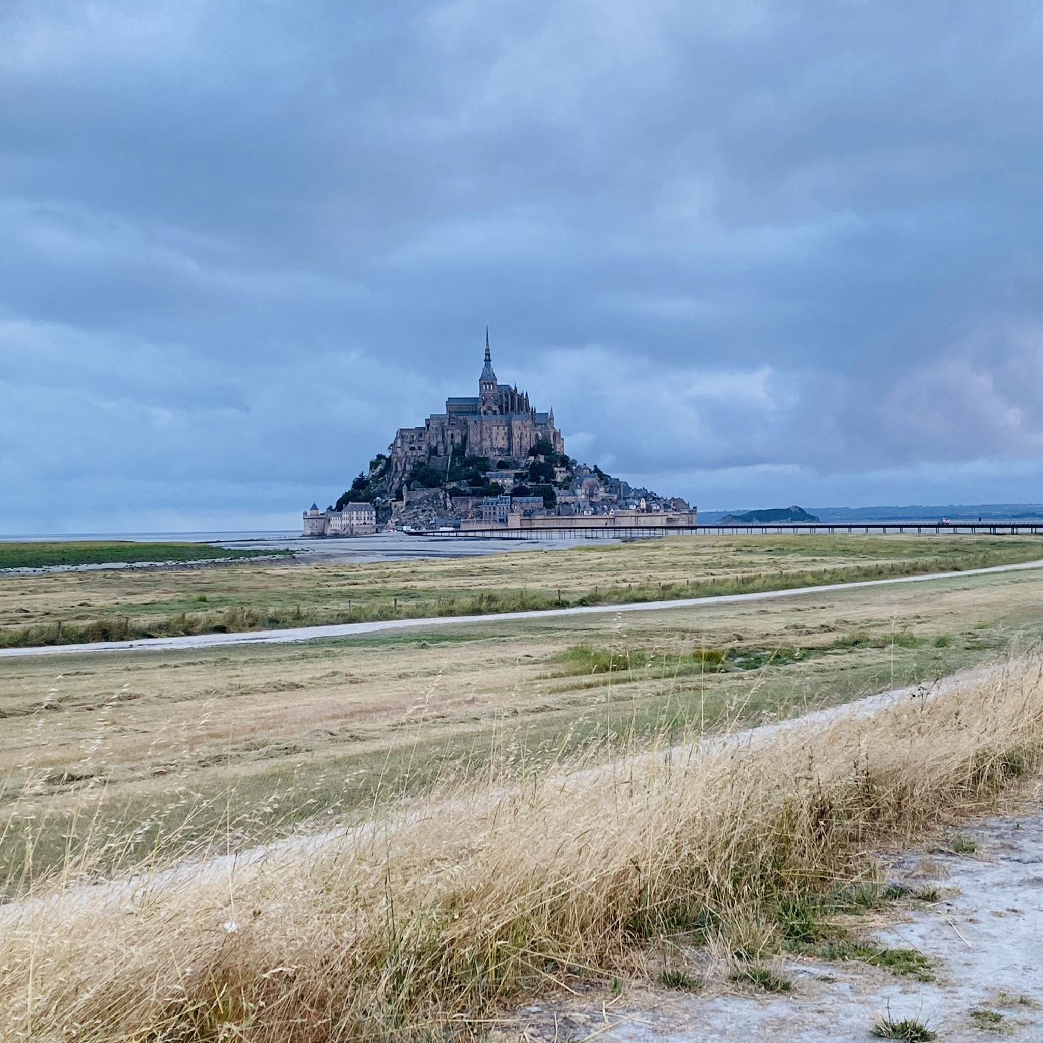
Many routes offer stunning views and pass by interesting attractions. For instance, the Sélune Riverbank – View of Mont Saint-Michel loop from Saint-James offers direct views of Mont Saint-Michel. You can also find highlights like the View of Mont Saint-Michel from Montjoie-Saint-Martin, the Saint-Benoît Polishing Stone, and the scenic Along the Sélune riverbank.
Are there any long-distance or major cycling routes that pass through the Carnet region?
Yes, major cycling routes like the Véloscénie and Vélomaritime pass through the broader Manche department, allowing for extensive exploration of the region. While specific segments near Carnet are part of these, the local routes offer connections to these larger networks for longer journeys.
What do other road cyclists think about the routes around Carnet?
The road cycling routes around Carnet are highly rated by the komoot community, with an average score of 3.9 stars from more than 10 reviews. Cyclists often praise the varied coastline, picturesque river valleys, and rolling hills that define the area, along with the options available for different ability levels.
Can I find circular road cycling routes around Carnet?
Yes, many of the road cycling routes around Carnet are designed as loops, allowing you to start and finish at the same point. Examples include the Sélune Riverbank – View of Mont Saint-Michel loop from Saint-James and the Saint-Benoît Polishing Stone – Daniel Mangeas Cycling Museum loop from Saint-James.
What is the typical length and duration of road cycling routes in this area?
Route lengths and durations vary significantly. For example, a moderate route like the Sélune Riverbank – View of Mont Saint-Michel loop from Saint-James is about 35 miles (56.3 km) and takes approximately 2 hours 19 minutes. More difficult routes, such as the Saint-Benoît Polishing Stone – Daniel Mangeas Cycling Museum loop from Saint-James, can be around 49.5 miles (79.7 km) and take about 3 hours 40 minutes.
Are there any specific natural parks or protected areas that road cyclists can explore near Carnet?
While Carnet itself is not a major standalone outdoor destination, its location places it near the Marais du Cotentin et du Bessin Regional Nature Park. This expansive park features marshes, bocage, coastline, and moors, offering unique landscapes. While primarily known for hiking and birdwatching, some roads within or bordering the park provide scenic cycling opportunities. You can learn more about the region's natural sites on Manche Tourism.
What other outdoor activities are popular in the Manche department besides road cycling?
The Manche department, where Carnet is located, is rich in outdoor activities. Beyond cycling, popular options include extensive hiking trails (like the GR®223), various water sports along the 674 km of coastline (such as sand yachting, surfing, sea kayaking), and equestrian activities. The unique tidal environment of Mont Saint-Michel Bay also offers guided crossings. For more information on outdoor activities, visit Manche Tourism's outdoor section.
Where can I find more information about cycling in the wider Manche region?
The Manche department is a prime destination for cycling, boasting over 1,200 km of cycle routes and 230 km of greenways. The French Cycling Federation has even labeled five 'Espace cyclosport' routes. You can find more details about cycling infrastructure and routes in the broader Manche region on the Manche Tourism cycling page.
Most popular attractions around Carnet

Get inspired with the komoot mobile app


Explore more
Browse the best Road cycling routes in other regions.
