The best walks and hikes around Le Vaulmier
4.6
(678)
6,486
hikers
130
hikes
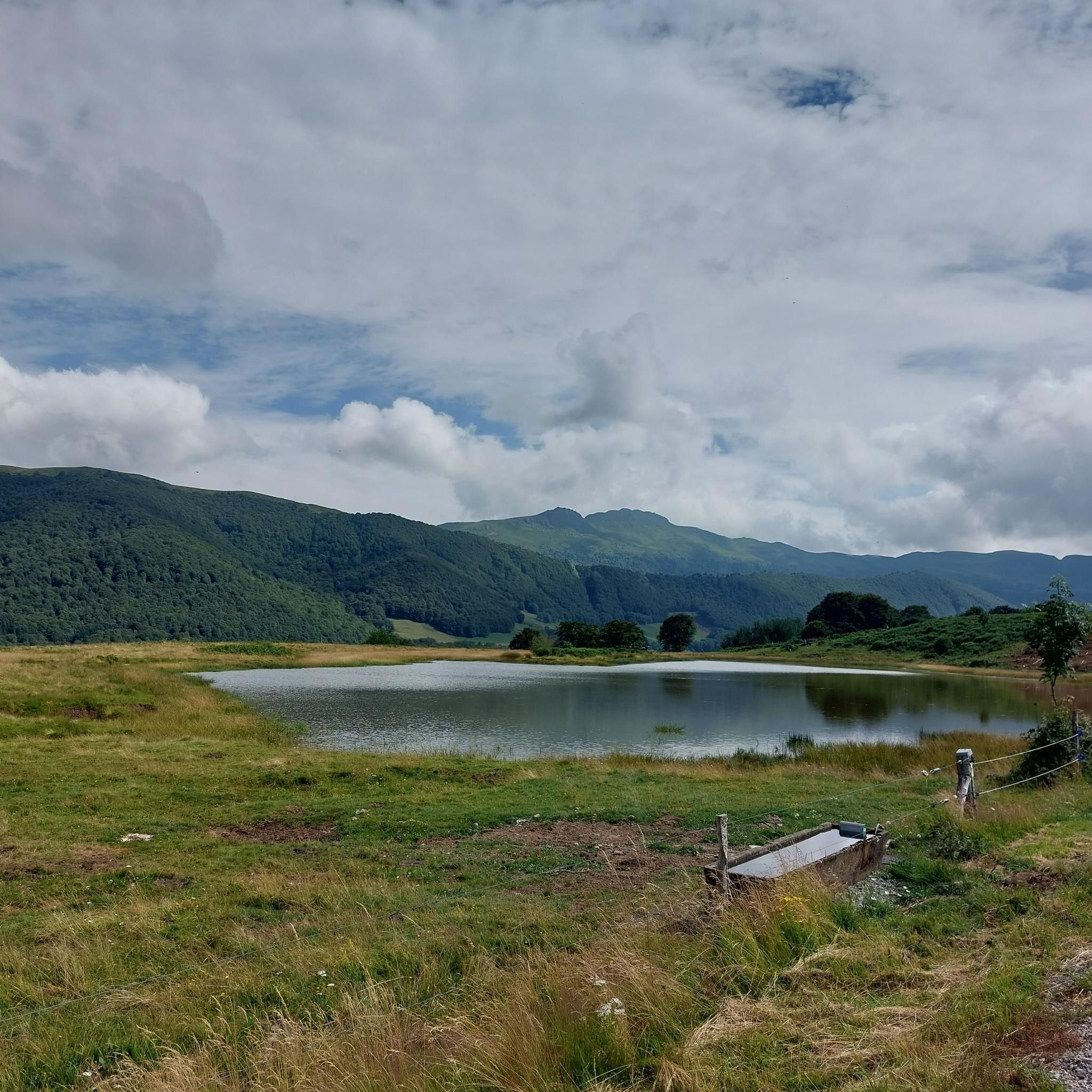
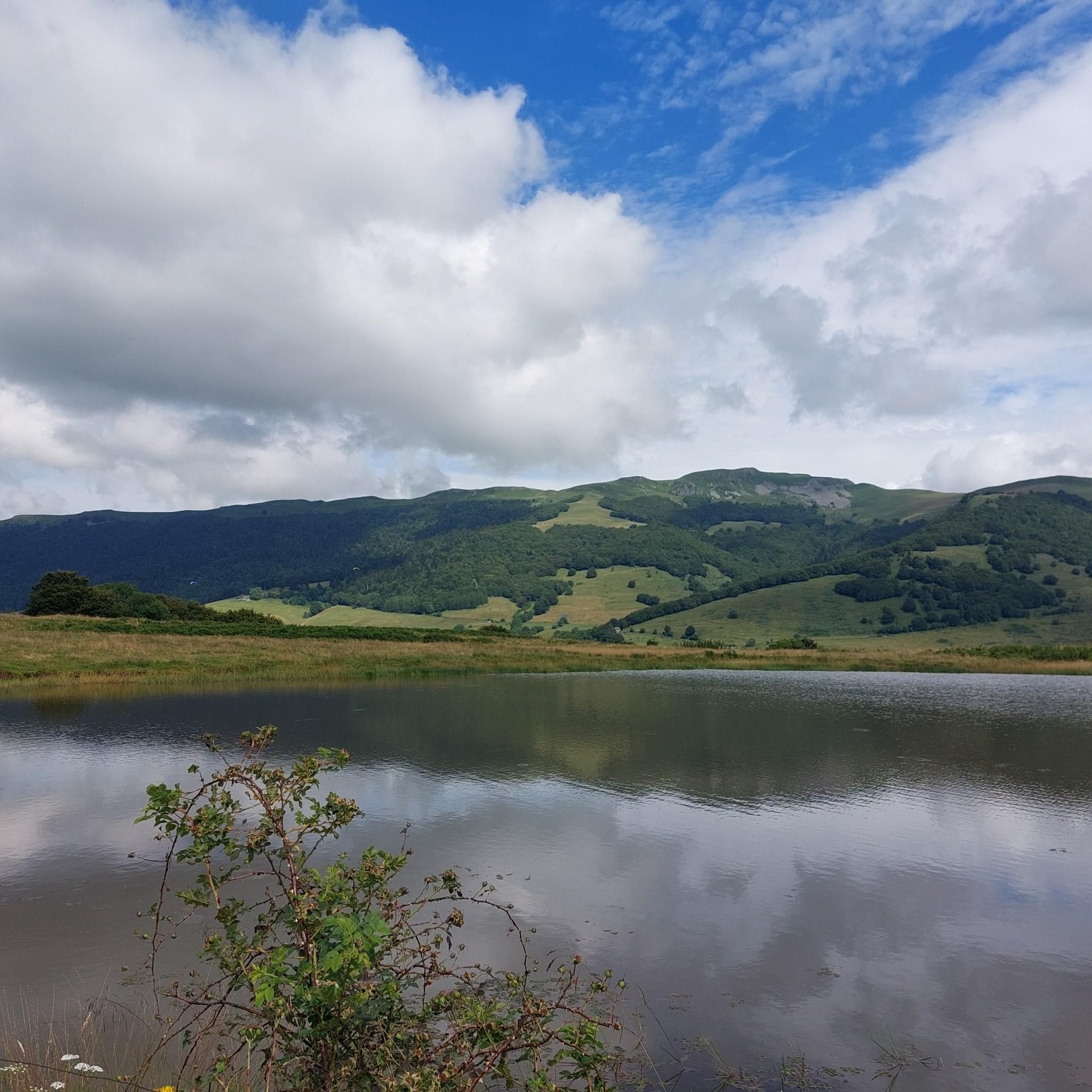
Hiking around Le Vaulmier offers access to the diverse landscapes of the glacial Mars valley, nestled within the Cantal region. The terrain is shaped by ancient volcanic activity and glaciation, featuring a mix of lush beech and fir forests, unique peat bogs, and expansive high-altitude summer pastures. Hikers can explore varied ecosystems and geological formations, including basaltic plateaus.
Best hiking trails around Le Vaulmier
- The most popular hiking route is Cirque du Falgoux Loop Trail, a 15.1 miles (24.3…
Last updated: May 18, 2026
23
hikers
24.3km
07:47
1,020m
1,020m
Hike the difficult 15.1-mile Cirque du Falgoux loop in Auvergne Volcanoes Regional Nature Park, gaining 3362 feet.
4.7
(9)
57
hikers
11.9km
03:46
420m
420m
Moderate hike. Good fitness required. Mostly accessible paths. Sure-footedness required.

Sign up for free
5.0
(10)
33
hikers
14.5km
05:00
740m
740m
Hard hike. Very good fitness required. Easily-accessible paths. Suitable for all skill levels.
4.8
(6)
25
hikers
5.55km
01:35
130m
130m
Easy hike. Great for any fitness level. Easily-accessible paths. Suitable for all skill levels.
4.3
(3)
9
hikers
15.0km
04:49
620m
620m
Moderate hike. Good fitness required. Easily-accessible paths. Suitable for all skill levels.
Get access to more routes and recommendations from other explorers.
Sign up for free
Already have an account?
Our route recommendations are based on thousands of hikes, rides, and runs completed by other people on komoot.
Start today with a free account
Your next adventure awaits.
Login or Signup
Tips from the Community

Either stressful or relaxed from Puy Mary.
0
0

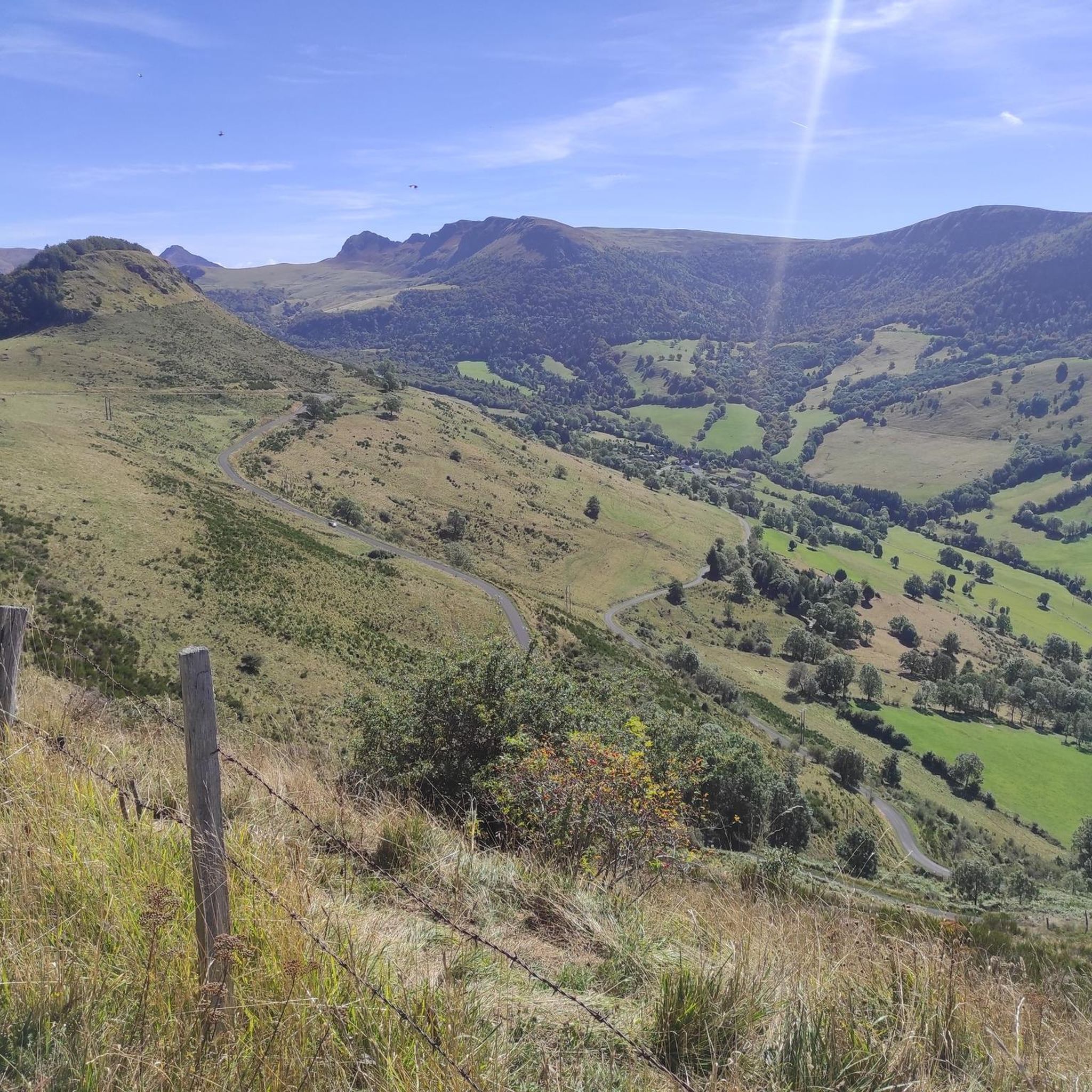
From Salers, a pass with low percentages but with a magnificent view of the Santoire valley.
0
0

The rise of Neronne is a great aperitif before the Pas De Peyrol… But better not to have left feathers on Neronne by looking down on it because of its relative accessibility… Otherwise…
1
0

The Redondet pass, between the Jordanne and Mars valleys (Falgoux circus), offers magnificent views of the latter.
0
0
The Brèche d'Enfloquet forms the passage between the Vallée du Mars and the Vallée de l'Aspre.
0
0
The Roc des Ombres dominates the Vallée du Mars and the Vallée de l'Aspre at an altitude of 1,614 m.
1
0
All Cantalous people know the Brèche de Roland on the flanks of Puy Mary (and whose name obviously refers to that of the Pyrenees), but the Brèche d'Enfloquet, which constitutes the passage between the Vallée du Mars and the Vallée de l' Aspre is another impressive site in the Cantal massif during a hike.
2
0

Made from the summit of Pas de Peyrol. One of my fondest memories of the trip. A pleasant descent on a deserted road. The slope is not steep, you just have to let yourself slide and withdraw your heart from the beauty of the landscape. If you are sensitive to the sublime, the void on your left will take you by the throat.
0
0
Frequently Asked Questions
How many hiking trails are available around Le Vaulmier?
Le Vaulmier offers a wide selection of hiking opportunities, with over 120 routes recorded on komoot. These range from easy strolls to challenging multi-day treks, catering to various experience levels.
What kind of terrain can I expect when hiking in Le Vaulmier?
The terrain around Le Vaulmier is incredibly diverse, shaped by ancient volcanic activity and glaciation. You'll encounter lush beech and fir forests, unique peat bogs, expansive high-altitude summer pastures where Salers cows graze, and magnificent basaltic plateaus. The glacial Mars valley itself is a prominent feature, offering varied landscapes.
Are there easy hiking trails suitable for beginners or families?
Yes, Le Vaulmier has 38 easy routes. An easy loop allows you to discover medieval vestiges at Cotteughes and the Marilhou Waterfall. The 'Sentier d'Émilie' from Col de Néronne also offers an easy ridge walk with splendid views. For a shorter option, consider the Le Falgoux loop from Le Falgoux, which is just over 5.5 km.
Are there any waterfalls to see while hiking in Le Vaulmier?
Absolutely! The region is home to beautiful water features. The Marilhou Waterfall is accessible via an easy loop trail. Another notable spot is the Cascade du Biaguin, where the Mars river begins with a succession of dynamic waterfalls, popular even for canyoning enthusiasts.
What are the best viewpoints or panoramic spots in the area?
Le Vaulmier offers numerous stunning viewpoints. The vistas from Col d'Aulac are often described as 'indescribable,' providing magnificent perspectives of the Monts du Cantal, including Puy Mary and Puy Violent. Ridge walks, such as the Enfloquet Notch – Neronne Pass loop, also provide excellent panoramic views.
Can I find circular hiking routes in Le Vaulmier?
Yes, circular routes are very popular in Le Vaulmier. Examples include the challenging Cirque du Falgoux Loop Trail (24.3 km), the moderate Neronne Pass – Biaguin Waterfall loop (15 km), and the Le Falgoux – Le Luchard loop (14.5 km) which leads through preserved forests and high-altitude plateaus.
What kind of wildlife can I expect to see?
The diverse ecosystems around Le Vaulmier support a rich variety of wildlife. Hikers often spot marmots, mouflon sheep, and deer. The area is also home to various bird species. The peat bogs host unique wetland mosses and carnivorous plants, while the summer pastures are known for the vibrant Great Yellow Gentian.
Are there any specific landmarks or attractions near the hiking trails?
Beyond the natural beauty, you can explore several landmarks. The iconic Puy Mary Summit is a major attraction, as are mountain passes like Pas de Peyrol Pass and Neronne Pass. The charming town of Salers is also nearby, offering historical interest.
What do other hikers enjoy most about Le Vaulmier?
The hiking routes in Le Vaulmier are highly rated by the komoot community, with an average score of 4.6 stars from over 600 reviews. Hikers frequently praise the stunning natural landscapes, the diverse terrain ranging from forests to high-altitude pastures, and the incredible panoramic views of the Monts du Cantal.
Is Le Vaulmier part of a larger natural park?
Yes, Le Vaulmier is proudly part of the Grand Site de France Puy Mary – Volcan du Cantal. Its location also places it near the Regional Natural Park of the Volcanoes of Auvergne, underscoring its commitment to preserving its exceptional natural beauty and providing an authentic outdoor experience.
What is the best time of year to go hiking in Le Vaulmier?
The best time to hike in Le Vaulmier is generally from late spring to early autumn (May to October). During these months, the weather is milder, the trails are clear of snow, and the summer pastures are vibrant with flora. Autumn offers spectacular fall foliage. Winter hiking is possible but requires appropriate gear and experience due to snow and colder conditions.
Are there options for longer, more challenging treks?
Yes, for experienced hikers seeking a challenge, there are more demanding trails. Routes connecting Le Falgoux to Le Claux, for instance, traverse varied landscapes and high-altitude plateaus, with options passing by Puy Mary and Roc d'Hozière. These can range from 13 to 35 kilometers and are rated moderate to difficult.
Most popular attractions around Le Vaulmier

Get inspired with the komoot mobile app


Explore more
Browse the best Hikes in other regions.
