The best running trails around Saint-Projet-De-Salers
4.6
(83)
2,752
runners
155
runs
Jogging routes around Saint-Projet-De-Salers traverse a landscape shaped by volcanic origins, offering diverse and challenging terrain. The region features impressive volcanic peaks, including Puy Mary and Plomb du Cantal, which provide steep ascents and panoramic views. Runners can explore extensive trail networks that wind through lush valleys like the Impradine and Jordanne, alongside green meadows and dense forests. This environment provides varied options for both casual jogs and demanding trail runs.
Best jogging routes around Saint-Projet-De-Salers
- The most popular jogging…
Last updated: June 23, 2026
21
runners
16.6km
02:25
690m
690m
Hard run. Very good fitness required. Mostly accessible paths. Some sure footedness required.
9
runners
Hard run. Very good fitness required. Mostly accessible paths. Some sure footedness required.

Sign up for free
28
runners
41.0km
06:09
1,940m
1,950m
Hard run. Very good fitness required. Sure-footedness, sturdy shoes and alpine experience required.
9
runners
23.0km
03:33
1,110m
1,110m
Hard run. Very good fitness required. Sure-footedness, sturdy shoes and alpine experience required.
5
runners
9.10km
01:23
530m
530m
Hard run. Very good fitness required. Mostly paved surfaces. Suitable for all skill levels.
Get access to more routes and recommendations from other explorers.
Sign up for free
Already have an account?
Our route recommendations are based on thousands of hikes, rides, and runs completed by other people on komoot.
Start today with a free account
Your next adventure awaits.
Login or Signup
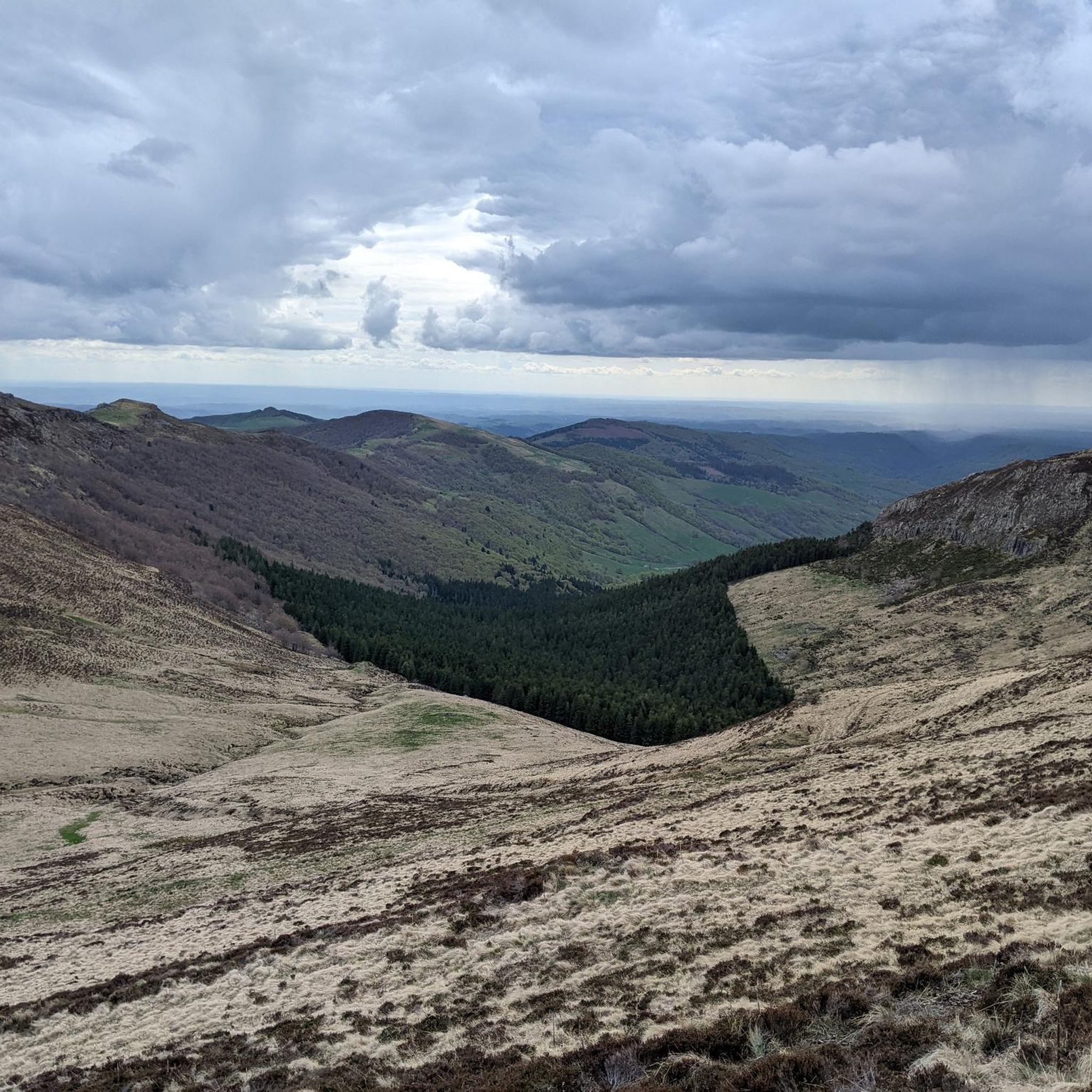
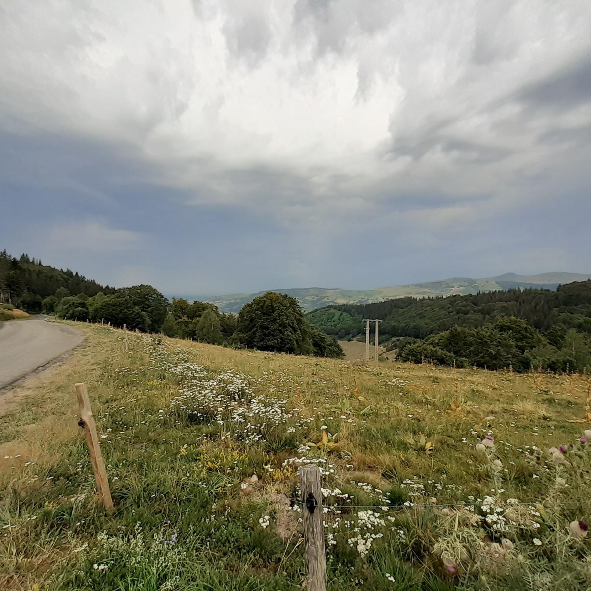
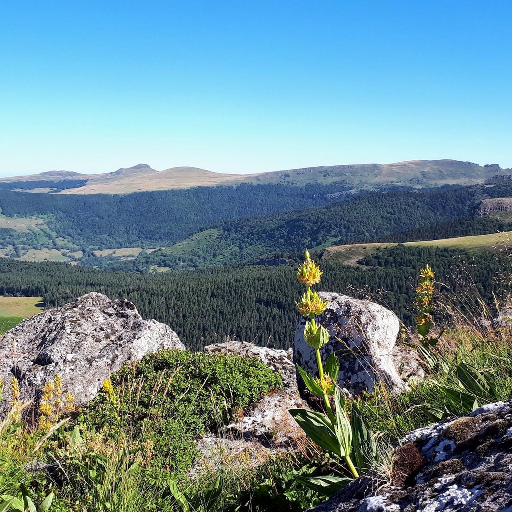
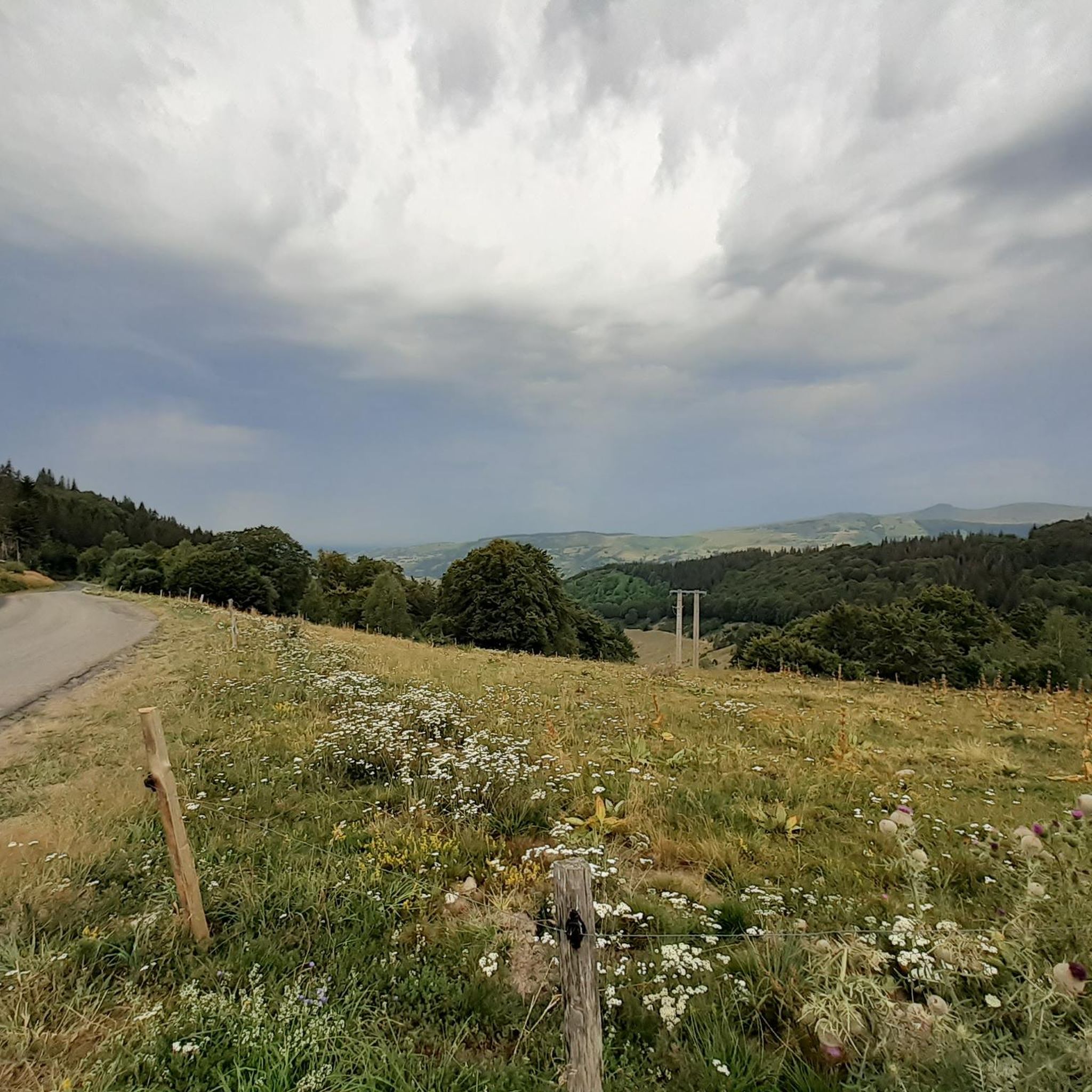

Tips from the Community


A magnificent site where the panoramas are breathtaking!!!
0
0

nice climb and good visibility over the valley
0
0

At an altitude of 1,588 meters, the Pas de Peyrol is located between the Puy Mary and the Puy de la Tourte. It is known to be the highest road pass in the Massif Central and is worth it, because the last few kilometers have high percentages. There you can admire Puy Mary which peaks at an altitude of 1,783 metres. It is one of the peaks of the Cantal mountains. It is easily recognizable with its pyramidal silhouette.
1
0

In a wind that dehorns the oxen, sublime landscapes in all seasons!
2
0

Great all-round view. Even though the entire ascent from the parking lot is concrete, it still remains steep.
3
0

The cairn was originally nicknamed the nickname bonhomme due to its shape seen from afar. But since the man it is well deformed
0
0

Despite an altitude of 1,783 meters, Puy Mary is not the highest peak in Cantal but it is undoubtedly the most famous. Classified as a “Grand Site de France”, and with an almost perfect pyramid shape, it is the vestige of the largest volcano in Europe with its 70 kilometers in diameter.
4
0
Frequently Asked Questions
How many running routes are available around Saint-Projet-De-Salers?
There are over 150 running routes around Saint-Projet-De-Salers listed on komoot, offering a wide variety of options for all skill levels. The region's volcanic landscape provides diverse terrain, from challenging mountain trails to more gentle valley paths.
What is the general difficulty level of jogging trails in Saint-Projet-De-Salers?
The jogging trails in Saint-Projet-De-Salers are predominantly challenging, with 99 routes rated as difficult and 48 as moderate. However, there are also 5 easy routes available, ensuring options for beginners or those seeking a more relaxed run. The volcanic peaks and mountain passes contribute to significant elevation gains on many trails.
Are there any easy jogging routes suitable for beginners or a relaxed run?
Yes, while many routes are challenging, there are 5 easy jogging routes available around Saint-Projet-De-Salers. These typically traverse the lush valleys and green meadows, offering a gentler experience away from the steep volcanic ascents.
What do other runners enjoy most about the trails in Saint-Projet-De-Salers?
The running paths in Saint-Projet-De-Salers are highly rated by the komoot community, with an average score of 4.6 stars from over 60 reviews. Runners often praise the dramatic volcanic landscapes, the stunning panoramic views from peaks like Puy Mary, and the extensive network of well-maintained trails that cater to various preferences.
Are there any long-distance running trails for endurance training?
Absolutely. The region is crisscrossed with extensive trail networks, including sections of the long-distance GR 400 that traverses the Cantal summits. For a significant challenge, consider the Col de Redondet – Puy Mary loop from Le Mas, which spans over 41 kilometers and offers substantial elevation gain through the Cantal mountains.
Can I find circular running routes in the area?
Yes, many running routes in Saint-Projet-De-Salers are designed as loops, allowing you to start and finish in the same location. An example is the Roc d'Hozières et Roc des Ombres – trail loop starting from Le Fau, which offers views of the regional natural park.
What natural landmarks or viewpoints can I expect to see on the running trails?
The running trails often lead to breathtaking natural landmarks. You can encounter impressive volcanic peaks like Puy Mary Summit and Plomb du Cantal, offering stunning 360-degree panoramas. Mountain passes such as Pas de Peyrol Pass and the unique Roland's Breach also provide memorable sights and challenging terrain.
Are there any specific running routes that start directly from Saint-Projet-De-Salers village?
Yes, there is a dedicated Running loop from Saint-Projet-de-Salers. This 9.1-kilometer route offers a moderate challenge with significant elevation, starting directly from the village and traversing rural roads, meadows, and woods. You can also find more details about a similar 9 km loop starting from the village church on auvergnerhonealpes-tourisme.com.
What kind of terrain should I expect on the running paths?
You can expect a highly varied terrain due to the region's volcanic origins. Paths range from steep ascents and winding trails on volcanic peaks to gentler routes through lush valleys and green meadows. The trails often feature a mix of dirt paths, rocky sections, and sometimes rural roads, providing a diverse running experience.
Are there any routes that follow the famous GR 400 trail?
Yes, the region's extensive trail network includes sections of the GR 400. For example, the Refuge de Cabrespine – GR 400 towards Mandailles loop from Col de Légal is a challenging 13.5-kilometer route that incorporates part of this renowned long-distance trail, offering a taste of the Cantal summits.
What is the best time of year for jogging in Saint-Projet-De-Salers?
The best time for jogging in Saint-Projet-De-Salers is generally from late spring to early autumn (May to October) when the weather is milder and the trails are most accessible. During these months, you can fully enjoy the vibrant landscapes and avoid the snow and more challenging conditions that can occur on higher elevations in winter.
Are there any running routes that offer views of the Regional Natural Park of the Volcanoes of Auvergne?
Many routes in the area provide stunning views of the Regional Natural Park of the Volcanoes of Auvergne, as Saint-Projet-De-Salers is nestled within it. The Col de Légal to Puy Chavaroche Trail, for instance, is a difficult 16.6 km route that features significant elevation gain through this protected volcanic landscape, offering expansive vistas.
Most popular routes around Saint-Projet-De-Salers
Most popular attractions around Saint-Projet-De-Salers

Get inspired with the komoot mobile app


Explore more
Browse the best Running Trails & Routes in other regions.
