The best road cycling routes around Saint-Paul-De-Salers
4.8
(112)
3,705
riders
90
rides
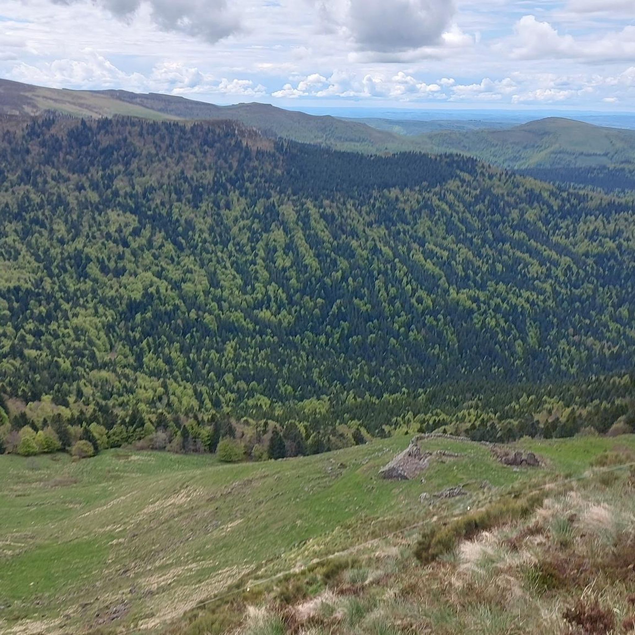
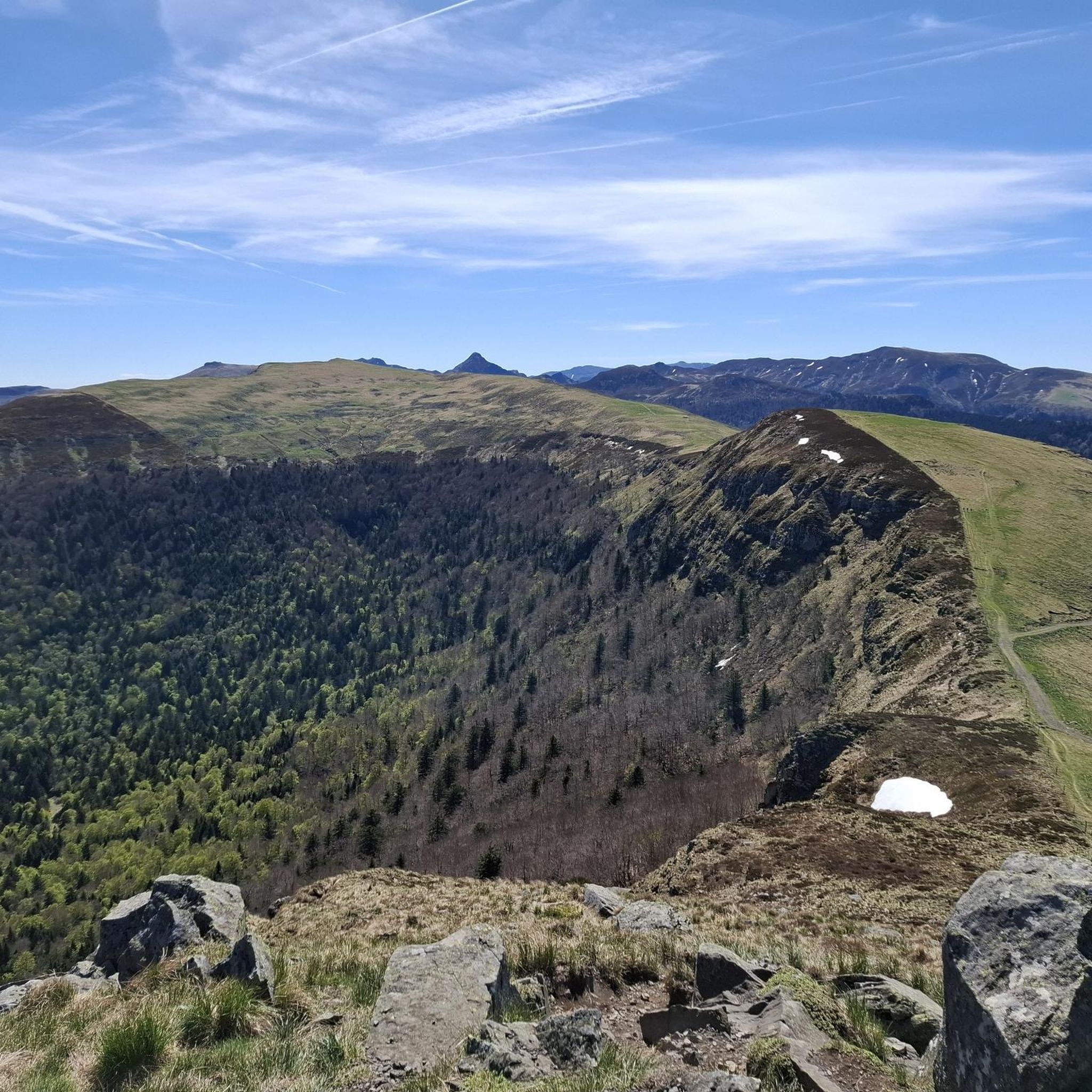
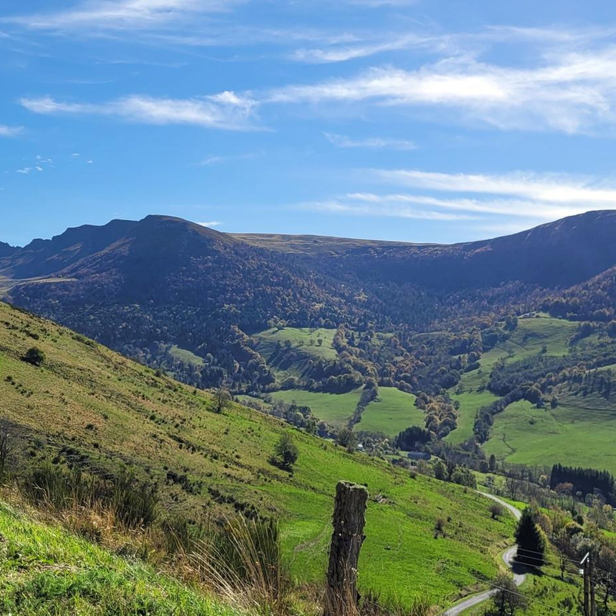
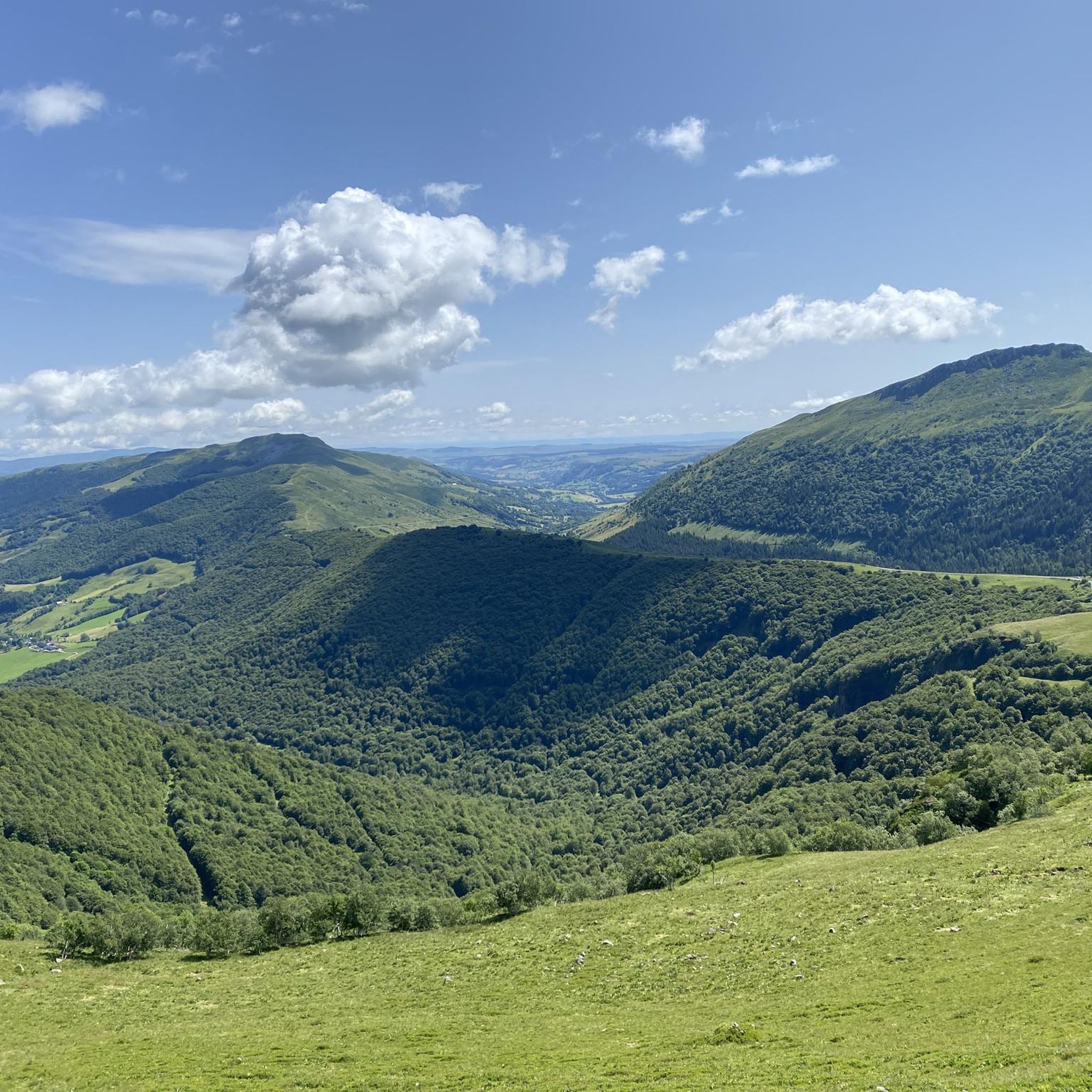
Road cycling routes around Saint-Paul-De-Salers are set within the Auvergne Volcanoes Regional Natural Park, featuring ancient volcanic terrain and significant elevation changes. The region's topography includes high glacial valleys and plateaus, with elevations varying from approximately 850 meters to 1500 meters. This diverse landscape provides road cyclists with routes ranging from moderate to very challenging, characterized by substantial elevation gains. The area offers panoramic views of the Monts du Cantal and prominent volcanic peaks.
Best road cycling routes around Saint-Paul-De-Salers
…Last updated: June 29, 2026
4.8
(4)
165
riders
108km
06:02
2,380m
2,380m
Hard road ride. Very good fitness required. Some segments of this route may be unpaved and difficult to ride.
4.8
(6)
155
riders
46.5km
02:41
1,110m
1,110m
Hard road ride. Very good fitness required. Mostly well-paved surfaces and easy to ride.

Sign up for free
5.0
(2)
137
riders
79.9km
04:33
1,830m
1,830m
Hard road ride. Very good fitness required. Mostly well-paved surfaces and easy to ride.
4.8
(4)
38
riders
41.7km
02:13
800m
800m
Moderate road ride. Good fitness required. Mostly well-paved surfaces and easy to ride.
30
riders
23.4km
01:21
540m
540m
Moderate road ride. Good fitness required. Mostly well-paved surfaces and easy to ride.
Get access to more routes and recommendations from other explorers.
Sign up for free
Already have an account?
Our route recommendations are based on thousands of hikes, rides, and runs completed by other people on komoot.
Start today with a free account
Your next adventure awaits.
Login or Signup

Tips from the Community

Either stressful or relaxed from Puy Mary.
0
0
A beautiful, partly shady climb from Claux to the pass. Then the real challenge begins at Puy Mary.
0
0
Great scenery, beautiful road, beautiful views. Perfect for a downhill ride.
0
0

Picturesque like Collonges la Rouge, Rocamadour or Locronan
0
0
Small village before the climb to Puy Mary. A bit deserted on Whit Monday.
3
0

Quickly move through the landscape on the balcony.
1
0
The route takes you through incredibly beautiful scenery as you head up the valley.
1
0
Frequently Asked Questions
What kind of terrain can I expect when road cycling around Saint-Paul-De-Salers?
The region of Saint-Paul-De-Salers, nestled within the Auvergne Volcanoes Regional Natural Park, offers diverse and dramatic landscapes. You'll encounter ancient volcanic terrain, high glacial valleys, and plateaus, with elevations ranging significantly. This means routes feature a mix of challenging ascents and scenic descents, often with panoramic views of the Monts du Cantal.
How many road cycling routes are available in the Saint-Paul-De-Salers area?
There are over 90 road cycling routes around Saint-Paul-De-Salers, catering to various skill levels. This includes 3 easy routes, 43 moderate routes, and 48 difficult routes, ensuring options for everyone from casual riders to experienced climbers.
Are there any easy road cycling routes suitable for beginners in Saint-Paul-De-Salers?
Yes, there are a few easier options available. While many routes involve significant climbing, you can find 3 routes classified as easy. These typically feature less elevation gain, making them suitable for those new to road cycling or looking for a more relaxed ride.
What are some notable natural features or landmarks I can see while cycling in Saint-Paul-De-Salers?
The area is rich in natural beauty and iconic landmarks. Cyclists can enjoy views of the Monts du Cantal and prominent volcanic peaks. Key features include the iconic Puy Mary Summit and the challenging Pas de Peyrol Pass (1,589 m). Other notable passes like Neronne Pass also offer stunning vistas.
Are there any circular road cycling routes in Saint-Paul-De-Salers?
Yes, many of the road cycling routes in Saint-Paul-De-Salers are designed as loops, allowing you to start and finish in the same location. For example, the challenging Ascent to Pas de Peyrol – Pas de Peyrol Pass (1,589 m) loop from Salers is a popular circular option for experienced riders.
What is the best time of year for road cycling in Saint-Paul-De-Salers?
The best time for road cycling in Saint-Paul-De-Salers is generally from late spring through early autumn. During these months, the weather is typically more favorable, and the high mountain passes are clear of snow. Summer offers warmer temperatures, while spring and autumn provide pleasant conditions with vibrant foliage.
What do other road cyclists say about the routes in Saint-Paul-De-Salers?
The road cycling routes in Saint-Paul-De-Salers are highly regarded by the komoot community, with an average rating of 4.7 stars from over 80 reviews. Cyclists often praise the challenging climbs, the stunning volcanic landscapes, and the well-maintained surfaces that make for an enjoyable and rewarding experience.
Are there any moderate road cycling routes that offer a good balance of challenge and scenery?
Absolutely. For a moderate challenge with beautiful scenery, consider the Salers – Col de Saint-Georges (954 m) loop from Salers. This route covers about 41.7 km with around 800 meters of elevation gain, taking you through varied terrain and offering a rewarding ride without the extreme difficulty of the highest passes.
Can I find routes that lead to the iconic Puy Mary?
Yes, several routes in the area provide access to the vicinity of Puy Mary, a major attraction for cyclists. The Neronne Pass – Pas de Peyrol Pass (1,589 m) loop from Salers, for instance, features significant climbing towards the Pas de Peyrol, which is a gateway to Puy Mary.
Are there any places to explore near the cycling routes, such as charming villages?
Yes, the charming medieval village of Salers, listed among 'the most beautiful villages of France,' is just 2 km from Saint-Paul-De-Salers and offers cultural and historical interest. It's a perfect spot to visit before or after your ride.
What is the typical elevation gain on road cycling routes in Saint-Paul-De-Salers?
Due to the region's volcanic and mountainous topography, road cycling routes in Saint-Paul-De-Salers often feature significant elevation gains. Even moderate routes can have around 500-800 meters of climbing, while difficult routes can exceed 1,300 to 1,800 meters of elevation gain over their course.
Are there any huts or refuges along the cycling routes where I could stop?
Yes, the area has several huts and refuges that can serve as stopping points or places to rest. Examples include Refuge de Cabrespine, Buron d'Eylac Refuge, and Meije Coste Refuge. These can be useful for longer rides or multi-day tours.
Most popular routes around Saint-Paul-De-Salers
Most popular attractions around Saint-Paul-De-Salers

Get inspired with the komoot mobile app


Explore more
Browse the best Road cycling routes in other regions.
