The best running trails around Montcenis
4.5
(34)
704
runners
22
runs
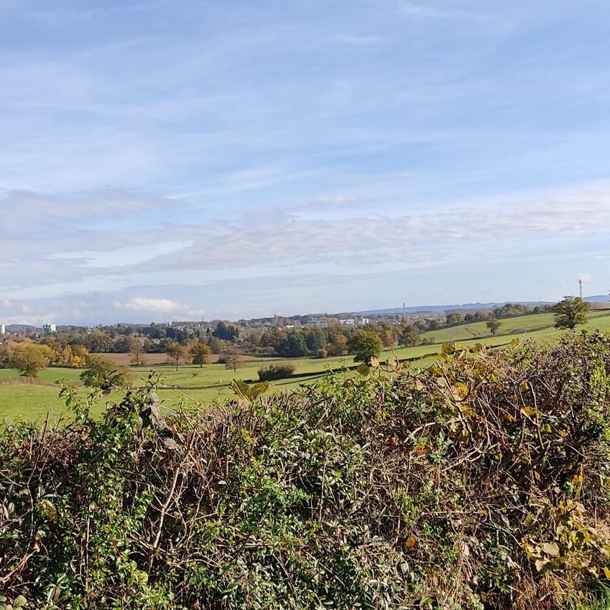
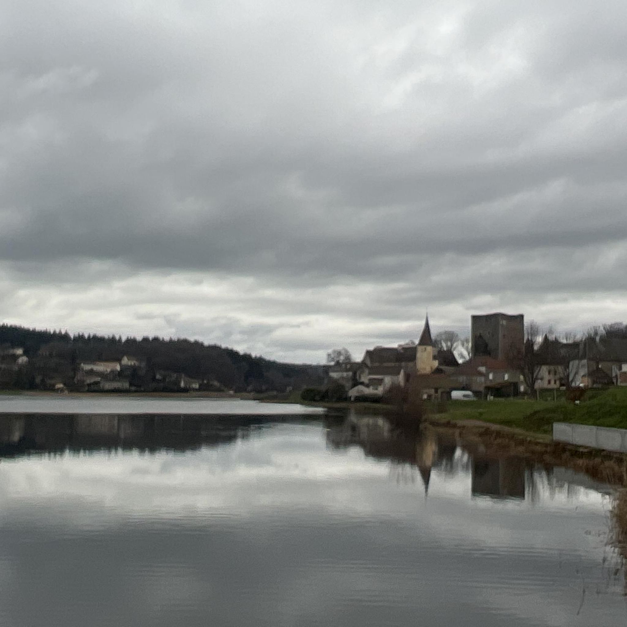
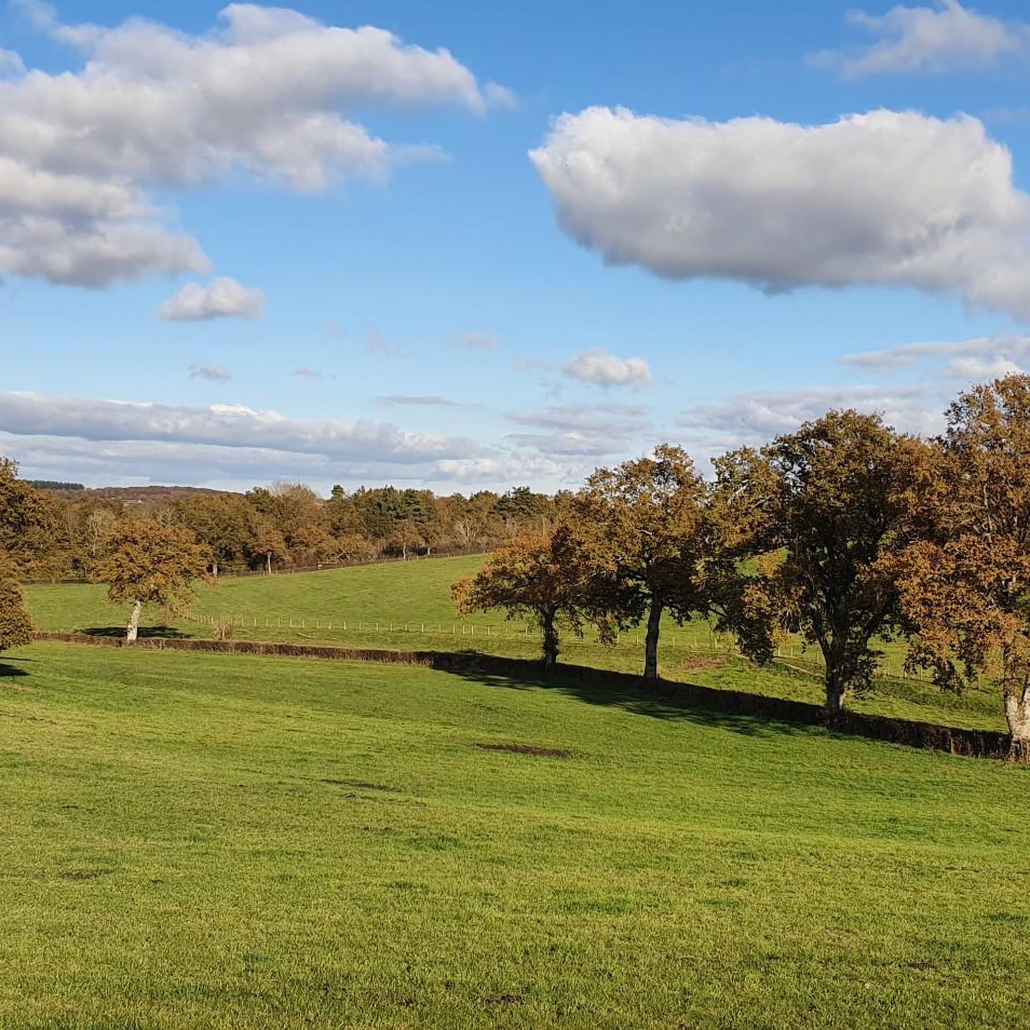
Jogging routes around Montcenis traverse a high-altitude plateau, characterized by its expansive lake and surrounding mountain pastures. The region features imposing peaks and a network of trails, including former military paths, offering diverse terrain for runners. These routes provide varied landscapes, from lakeside paths to more challenging mountain ascents.
Best jogging routes around Montcenis
- The most popular jogging route is Étang de Torcy Neuf loop from Montcenis, a 5.7 miles (9.1 km) trail that takes 58 minutes to complete.…
Last updated: July 3, 2026
4.9
(27)
32
runners
9.14km
00:58
60m
60m
Moderate run. Good fitness required. Mostly paved surfaces. Suitable for all skill levels.
18
runners
10.7km
01:08
80m
80m
Moderate run. Good fitness required. Mostly paved surfaces. Suitable for all skill levels.

Sign up for free
12
runners
10.5km
01:07
120m
120m
Moderate run. Good fitness required. Mostly paved surfaces. Suitable for all skill levels.
12
runners
7.07km
00:46
80m
80m
Moderate run. Good fitness required. Mostly paved surfaces. Suitable for all skill levels.
5
runners
6.14km
00:43
130m
130m
Moderate run. Good fitness required. Mostly paved surfaces. Suitable for all skill levels.
Get access to more routes and recommendations from other explorers.
Sign up for free
Already have an account?
Our route recommendations are based on thousands of hikes, rides, and runs completed by other people on komoot.
Start today with a free account
Your next adventure awaits.
Login or Signup
Tips from the Community

Meeting point at Creusot Vélo Sports on Saturday, Monday and Wednesday
0
0
Frequently Asked Questions
What makes Montcenis a unique destination for runners?
Montcenis offers a distinctive running experience due to its high-altitude plateau, situated at an average of 2,000 meters. Runners can enjoy majestic landscapes, including the expansive turquoise Lac du Mont Cenis, pristine mountain pastures, and imposing peaks. The region's unique microclimate also supports a rich variety of alpine flora, adding to the scenic beauty.
How many running routes are available in Montcenis?
There are over 15 running routes around Montcenis, catering to various preferences. The komoot community has rated these routes highly, with an average score of 4.9 stars from over 30 reviews, and more than 600 runners have explored the area using komoot.
Are there any circular running routes around Montcenis?
Yes, many of the running routes in Montcenis are circular, offering convenient loops. A popular option is the Étang de Torcy Neuf loop from Montcenis, a 5.7-mile (9.1 km) trail that provides a scenic circuit around the lake.
What kind of terrain can I expect on the running trails?
The terrain around Montcenis is diverse, ranging from gentler paths around the lake to more challenging mountain ascents. Many routes utilize former military trails, which are well-suited for trail running and offer varied surfaces. You'll encounter a mix of paths through pastures and more rugged mountain tracks.
Are there any long-distance running options in the Montcenis area?
For those seeking longer distances, the region offers several extended routes. The Étang Chatou loop from Montcenis - Collège Les Épontots is a moderate 8.9-mile (14.2 km) trail with significant elevation gain, perfect for a longer run. Additionally, the well-marked path encircling the Lac du Mont Cenis itself is about 5 hours long, providing an excellent option for an extended scenic jog.
What historical sites or landmarks can I see while running in Montcenis?
Montcenis is rich in history. Many running trails follow former military paths that lead to 19th-century forts such as Fort de Ronce, Fort de Variselle, and Fort Malamot. You can also discover the unique Pyramid Church, built in memory of a village submerged by the lake. These historical elements add an interesting dimension to your run.
Are there any family-friendly running routes in Montcenis?
While many routes involve some elevation, the paths around the Lac du Mont Cenis offer relatively gentler terrain suitable for families. These trails provide stunning views and opportunities to spot local wildlife like marmots, making them enjoyable for all ages. Always check the route's difficulty and distance to ensure it matches your family's fitness level.
What is the best time of year to go running in Montcenis?
The summer months are ideal for running in Montcenis, as the high-altitude plateau is most accessible and the alpine flora is in full bloom. Early June can be particularly interesting as lower water levels in the lake may reveal remnants of old dikes. The region also hosts dedicated trail running events during this period, attracting many enthusiasts.
Can I bring my dog on the running trails in Montcenis?
Generally, dogs are welcome on many of the outdoor trails in Montcenis, especially on the extensive network of hiking and former military paths. However, it's always advisable to keep your dog on a leash, particularly in areas with wildlife or near livestock, and to check for any specific local regulations or protected areas where dogs might be restricted.
Are there any challenging running trails for experienced runners?
Yes, Montcenis offers challenging options for experienced runners. The region actively promotes trail running, with events like the EDF Cenis Tour featuring courses up to 53 km with significant elevation gains. While specific 'difficult' rated routes are fewer in the immediate guide data, the overall mountainous terrain and longer trails like the Étang de Torcy Neuf loop from Montcenis - Collège Les Épontots (6.7 miles / 10.7 km with moderate elevation) provide a good challenge.
What natural attractions can I see along the running routes?
Beyond the stunning lake and mountain views, you can encounter several natural attractions. The region boasts an Alpine Garden with over 250 species of mountain flowers during summer. You might also spot marmots in the meadows. For specific viewpoints, consider routes that pass near highlights like Signal d'Uchon – Rochers du Carnaval or View of the Morvan from the Balcony of the Morvan, which offer panoramic vistas.
What do other runners enjoy most about jogging in Montcenis?
The area is highly rated by the komoot community, with an average score of 4.9 stars. Reviewers often praise the breathtaking Alpine scenery, the variety of terrain from lakeside paths to mountain trails, and the well-maintained network of routes. The sense of tranquility and the opportunity to connect with nature in a high-altitude environment are frequently highlighted.
Most popular attractions around Montcenis

Get inspired with the komoot mobile app


Explore more
Browse the best Running Trails & Routes in other regions.
