The best walks and hikes around Longueil-Sainte-Marie
4.5
(231)
1,394
hikers
166
hikes
Hiking around Longueil-Sainte-Marie offers a variety of trails through the Oise department in northern France. The region is characterized by a relatively flat landscape, featuring agricultural fields, small woodlands, and river valleys. Elevation changes are generally gentle, making many routes accessible for various fitness levels. The area provides opportunities for tranquil walks through rural settings and along waterways.
Best hiking trails around Longueil-Sainte-Marie
- The most popular hiking route is Verberie Ponds loop from Verberie, a 6.9 miles (11.1 km)…
Last updated: July 5, 2026
4.8
(5)
19
hikers
11.1km
02:48
20m
20m
Moderate hike. Good fitness required. Easily-accessible paths. Suitable for all skill levels.
5.0
(1)
12
hikers
3.71km
00:56
0m
10m
Easy hike. Great for any fitness level. Easily-accessible paths. Suitable for all skill levels.

Sign up for free
5.0
(1)
10
hikers
3.50km
00:58
60m
60m
Easy hike. Great for any fitness level. Easily-accessible paths. Suitable for all skill levels.
3.0
(2)
9
hikers
6.84km
01:49
70m
70m
Easy hike. Great for any fitness level. Easily-accessible paths. Suitable for all skill levels.
5.0
(1)
8
hikers
6.08km
01:35
40m
40m
Easy hike. Great for any fitness level. Easily-accessible paths. Suitable for all skill levels.
Get access to more routes and recommendations from other explorers.
Sign up for free
Already have an account?
Our route recommendations are based on thousands of hikes, rides, and runs completed by other people on komoot.
Start today with a free account
Your next adventure awaits.
Login or Signup


Tips from the Community

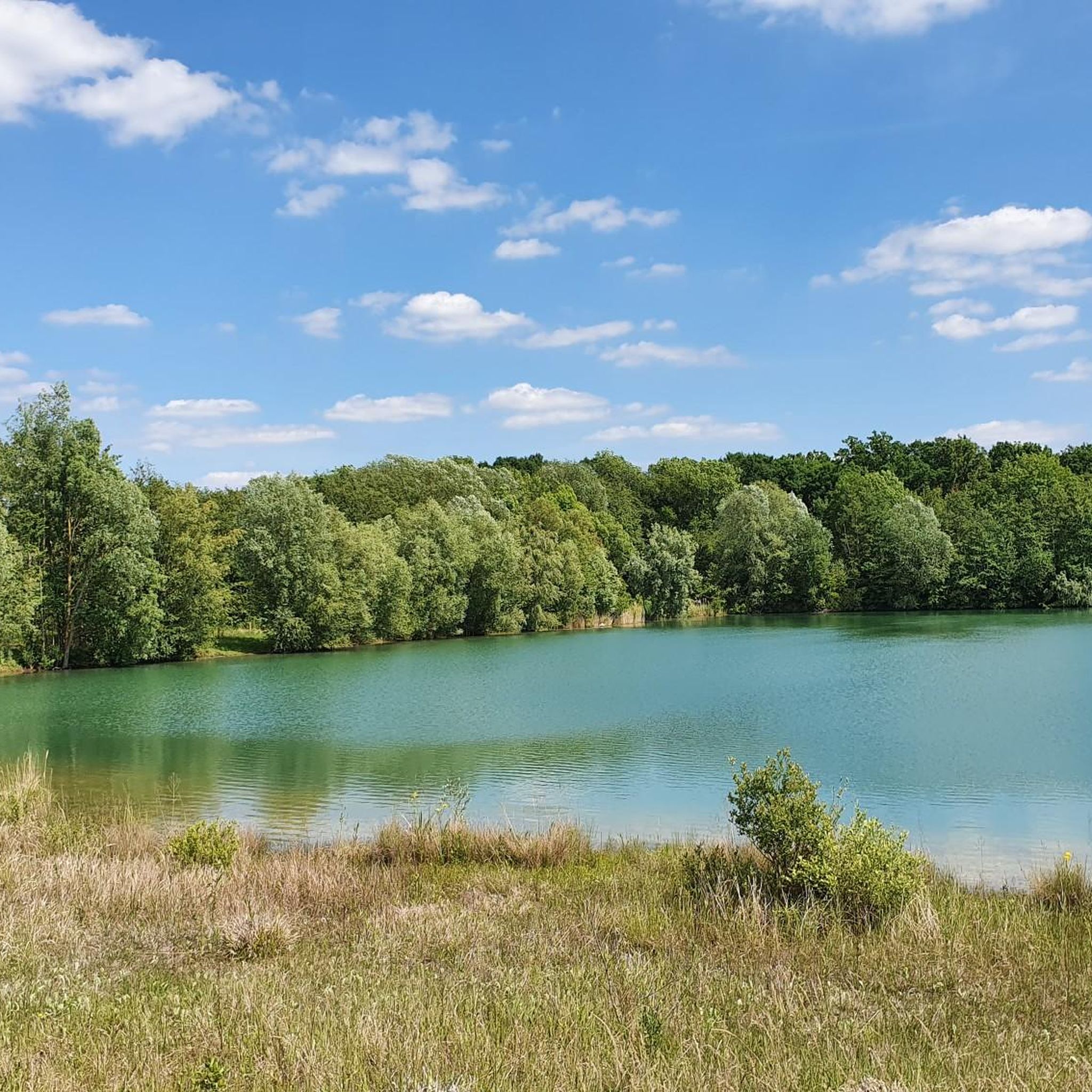
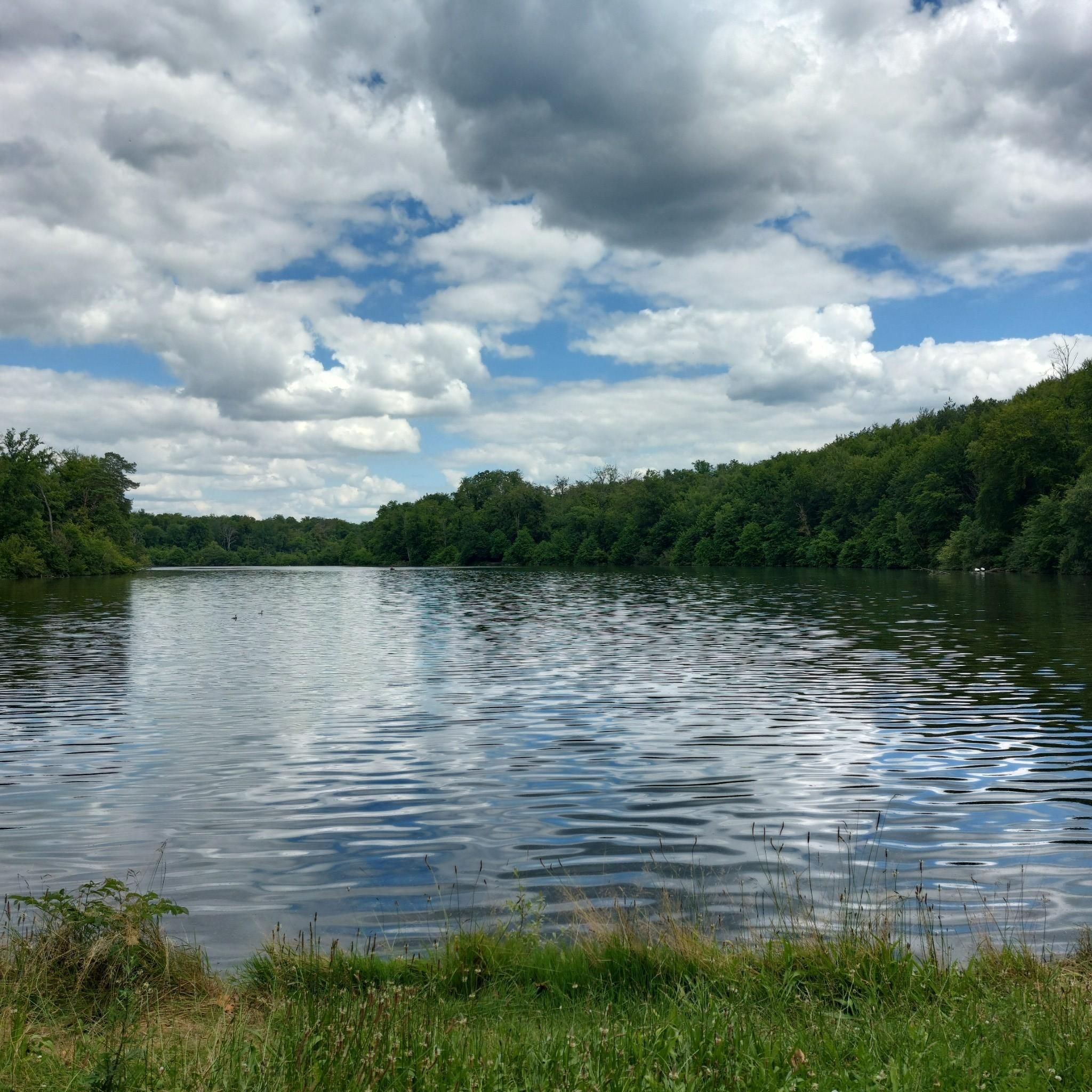
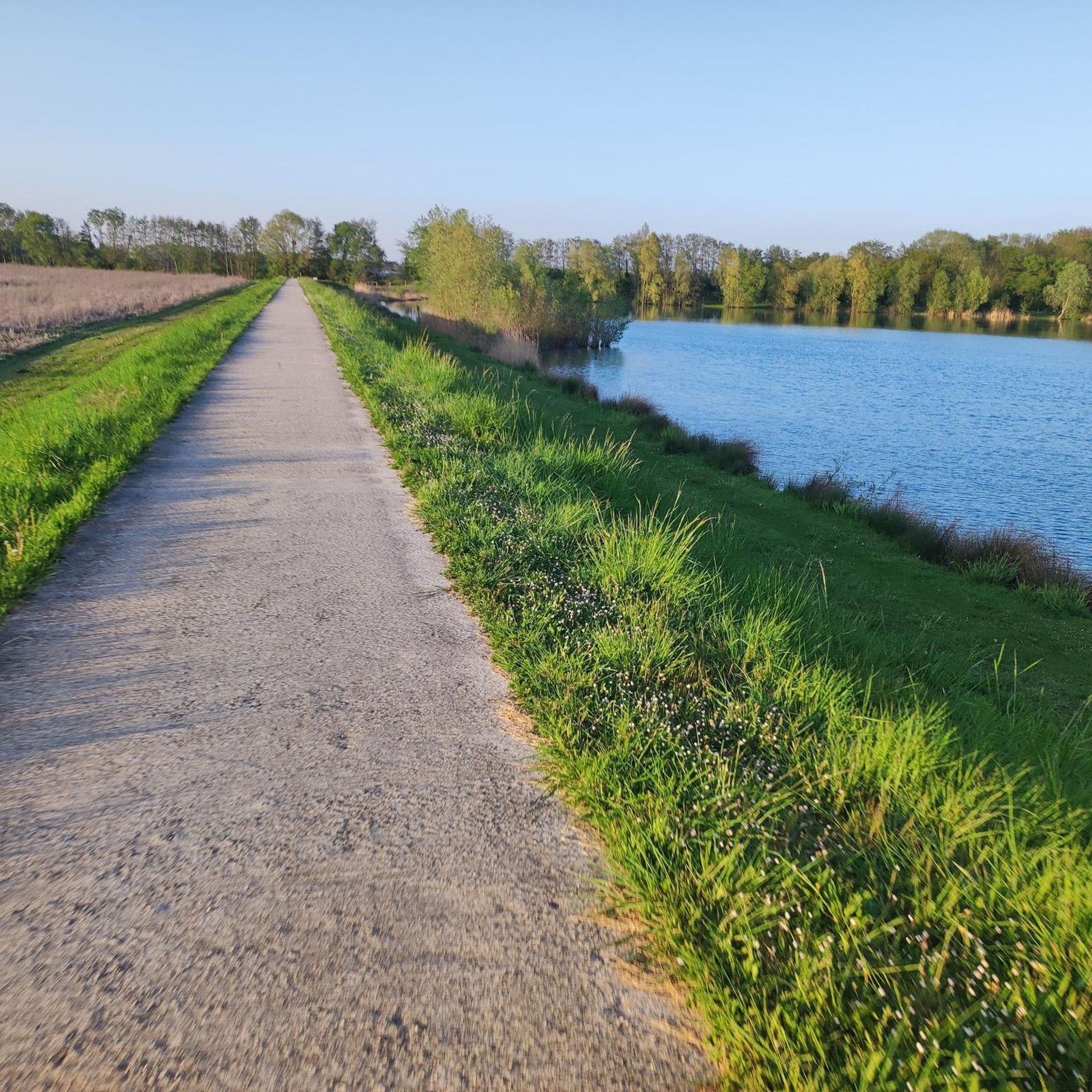
A lovely section of trail through the ponds. It's well-surfaced and very quiet.
2
0

Very beautiful ponds on the Oise near Verberie.
1
0

Take good tires and provisions with you
1
0


Beautiful cycle path between the Oise and the ponds.
1
0

Ruin of the Notre-Dame church in the priory of Boucquy, hamlet in the town of Jaux.
0
0
Frequently Asked Questions
How many hiking trails are there around Longueil-Sainte-Marie?
There are over 150 hiking routes available around Longueil-Sainte-Marie, offering a wide variety of options for different preferences and fitness levels. The majority of these are rated as easy or moderate.
Are there easy hiking trails suitable for beginners or families in Longueil-Sainte-Marie?
Yes, the region is well-suited for beginners and families, with over 70 easy trails. The relatively flat landscape, featuring agricultural fields and small woodlands, means many routes have gentle elevation changes. An excellent option for a shorter, easy walk is the Verberie Ponds loop from PARK Nautic de Verberie (TNV60), which is 2.3 miles (3.7 km) long.
What is the typical duration of hikes around Longueil-Sainte-Marie?
Hike durations vary, but many routes are designed for shorter outings. For example, the Boucquy Chapel loop from Jonquières is about 2.2 miles (3.5 km) and can be completed in under an hour. Longer options, like the Verberie Ponds loop from Verberie, can take around 2 hours 48 minutes for 6.9 miles (11.1 km).
Are there circular walking routes available in Longueil-Sainte-Marie?
Yes, many of the hiking trails around Longueil-Sainte-Marie are circular, allowing you to start and end at the same point without needing to retrace your steps. Examples include the Mont Clergé loop from Jonquières and the Château d'Aramont loop from Verberie.
When is the best time of year to go hiking in Longueil-Sainte-Marie?
The best times for hiking in Longueil-Sainte-Marie are generally spring and autumn, when the weather is mild and the natural scenery is vibrant. Summer offers longer daylight hours, though it can be warmer. Winter hiking is also possible, but trails might be muddy or frosty.
Are dogs allowed on the hiking trails around Longueil-Sainte-Marie?
Generally, dogs are welcome on the hiking trails around Longueil-Sainte-Marie. However, it's always recommended to keep them on a leash, especially when passing through agricultural areas or near wildlife, and to respect local regulations.
What can I see along the hiking trails in Longueil-Sainte-Marie?
The trails offer views of agricultural plains, small woodlands, and river valleys. While hiking, you might encounter historical sites or natural landmarks. Nearby attractions include the impressive Château de Compiègne, the serene Royal Abbey of Moncel, and the Mont Pagnotte viewpoint, which offers expansive views of the surrounding area.
Is parking available at the trailheads in Longueil-Sainte-Marie?
As Longueil-Sainte-Marie is a rural area, parking is often available in village centers, near churches, or at designated small car parks close to popular trailheads. Roadside parking might also be an option in some areas, but always ensure you are not obstructing traffic or private access.
Can I reach hiking trails in Longueil-Sainte-Marie using public transport?
Public transport options to reach specific trailheads directly might be limited in this rural region. It's advisable to check local bus schedules if you plan to rely on public transport, or consider driving to a central starting point.
What do other hikers enjoy the most about hiking in Longueil-Sainte-Marie?
The area is highly rated by the komoot community, with an average score of 4.6 stars from over 170 reviews. Hikers often praise the tranquil rural settings, the well-maintained paths, and the accessibility of the trails for various fitness levels, making it a pleasant experience for all.
Are there any challenging hikes in the Longueil-Sainte-Marie area?
While the region is generally known for its gentle terrain, there are a few routes that offer a bit more challenge, with 3 trails rated as difficult. These might feature longer distances or slightly more varied elevation, providing a good workout for experienced hikers.
Most popular routes around Longueil-Sainte-Marie
Most popular attractions around Longueil-Sainte-Marie

Get inspired with the komoot mobile app


Explore more
Browse the best Hikes in other regions.
