The best running trails around Pont-Sainte-Maxence
3.5
(6)
314
runners
37
runs
Jogging routes around Pont-Sainte-Maxence traverse a diverse landscape, characterized by the extensive Halatte Forest, the scenic Oise River, and the tranquil Marais de Sacy ecological reserve. The region offers varied terrain, from riverside paths to trails through ancient woodlands and around elevated areas like Mont Pagnotte. These natural features provide a range of running experiences suitable for different fitness levels.
Best jogging routes around Pont-Sainte-Maxence
- The most popular jogging route is Mont Pagnotte viewpoint – Mont Pagnotte viewpoint loop from…
Last updated: May 18, 2026
12
runners
5.35km
00:34
10m
10m
Moderate run. Good fitness required. Mostly paved surfaces. Suitable for all skill levels.
3.0
(1)
11
runners
Hard run. Very good fitness required. Mostly paved surfaces. Suitable for all skill levels.

Sign up for free
3.0
(3)
6
runners
5.66km
00:39
40m
40m
Moderate run. Good fitness required. Mostly paved surfaces. Suitable for all skill levels.
8
runners
20.8km
02:19
160m
160m
Hard run. Very good fitness required. Mostly paved surfaces. Suitable for all skill levels.
5
runners
23.6km
02:31
80m
80m
Hard run. Very good fitness required. Mostly paved surfaces. Suitable for all skill levels.
Get access to more routes and recommendations from other explorers.
Sign up for free
Already have an account?
Our route recommendations are based on thousands of hikes, rides, and runs completed by other people on komoot.
Start today with a free account
Your next adventure awaits.
Login or Signup

Tips from the Community

The orientation table that previously existed and the wooden terrace have been removed. The trees have grown, making the view non-existent. Before, on a clear day, it was possible to make out the Eiffel Tower.
0
0


This obelisk was built in 1811 to commemorate the birth of the son of Napoleon I and Marie-Louise of Austria, made king of Rome by his father to defy Pope Pius VII. Why here and by whom? We don't know anything about it. This tribute was perhaps paid to Napoleon for the relaunch of healthy management of the Halatte forest after a period of abandonment following the revolution of 1789. In any case, he met his future wife Marie-Louise d'Halatte. Austria, nearby, at the castle of Compiègne where he installed his son the king of Rome.
0
0
In the middle of the halate forest the last 500 meters no bitumen
0
0

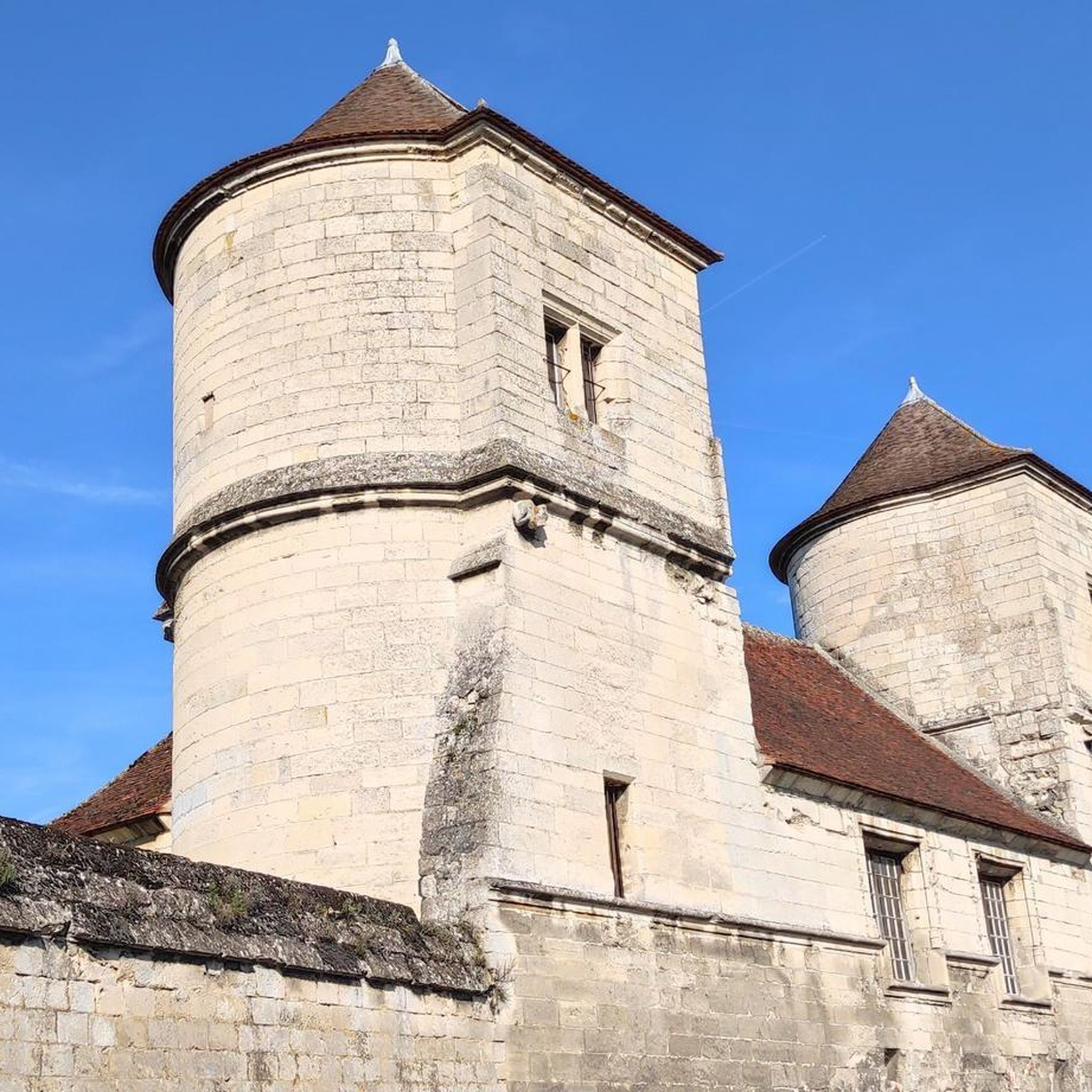
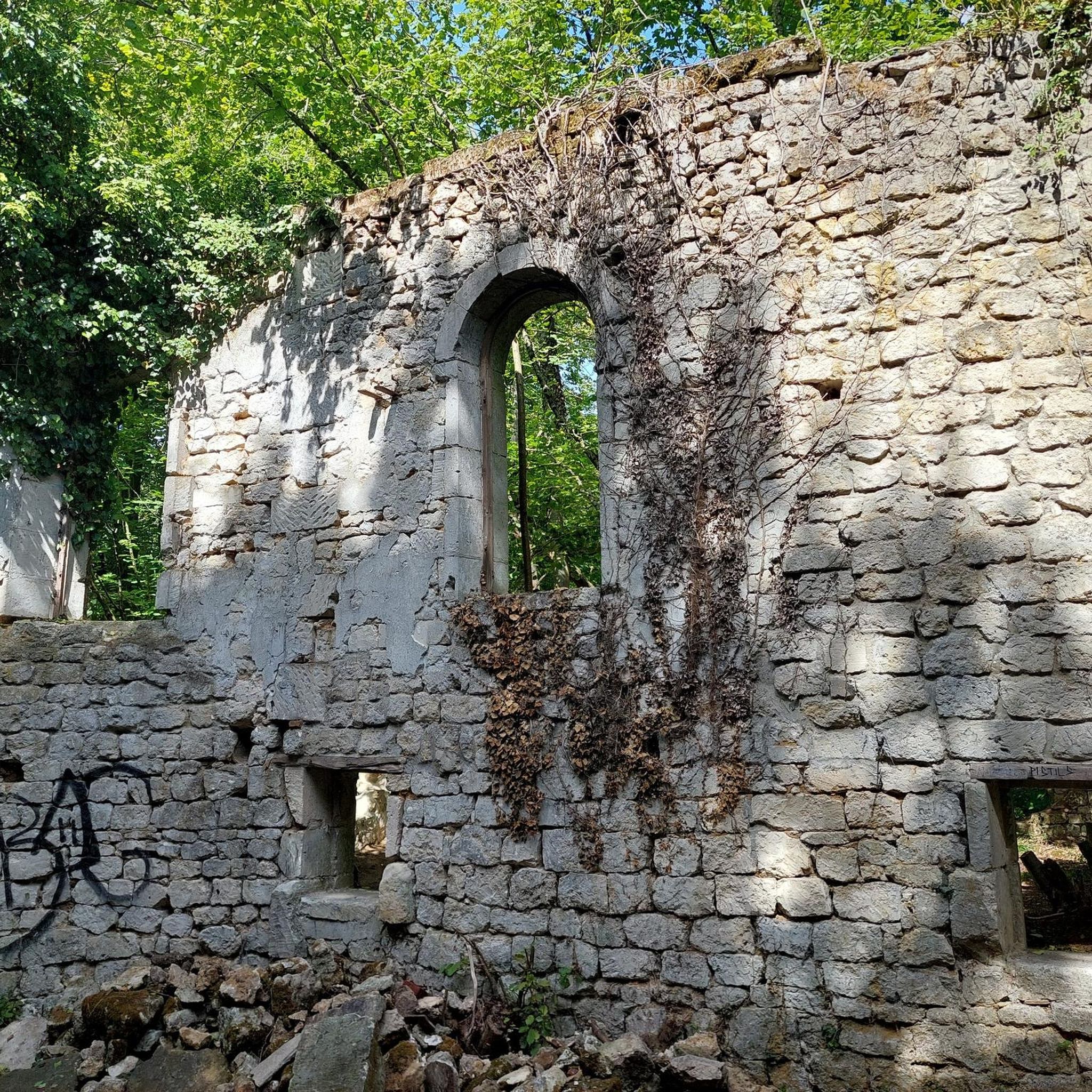
The royal abbey of Moncel was built in the 14th century by Philippe le Bel, next to an old manor which the king transformed into a royal residence at the same time. Without a doubt, a major place of French heritage!
2
0

Mont Pagnotte is the highest point in Valois and one of the highest in the Paris region, with an altitude of 222 meters. It was also an ancient Celtic and Gallo-Roman colony, of which you can still see some ruins along the way. The trail passes through the magnificent Halatte forest, where you can appreciate the diversity of trees and wildlife. From the summit of Mont Pagnotte, you can admire a panoramic view of the forest and the surrounding countryside. It's the perfect place for a run to escape the city.
3
0
Mont Pagnotte is the highest point in Valois and one of the highest in the Paris region, with an altitude of 222 meters. It was also an ancient Celtic and Gallo-Roman colony, of which you can still see some ruins along the way. The trail takes you through the magnificent Halatte Forest, where you can appreciate the diversity of trees and wildlife. From the summit of Mont Pagnotte, you can admire a panoramic view of the forest and the surrounding countryside. This is an ideal hike for a family outing or to escape the city.
2
0
Frequently Asked Questions
How many running routes are available around Pont-Sainte-Maxence?
There are over 35 dedicated running routes around Pont-Sainte-Maxence, catering to various preferences and fitness levels. These include easy, moderate, and difficult trails through diverse landscapes.
What kind of terrain can I expect on the running trails in this region?
The running trails around Pont-Sainte-Maxence offer a varied terrain. You can expect extensive paths through the ancient Halatte Forest, picturesque routes along the Oise River banks, and trails around elevated areas like Mont Pagnotte, some providing scenic views. The region also features the tranquil Marais de Sacy ecological reserve.
Are there running routes suitable for beginners or those looking for an easy jog?
Yes, Pont-Sainte-Maxence offers several easy running routes. For instance, there are 4 routes specifically categorized as easy, perfect for a leisurely jog or for those new to running. You can also find moderate options like the Running loop from pure sensation, which is just over 5 km with minimal elevation.
Which running routes offer the best scenic views?
For breathtaking views, consider routes that explore the Mont Pagnotte area. The Mont Pagnotte viewpoint – Mont Pagnotte viewpoint loop from Pont-Sainte-Maxence is a challenging route known for its vistas. Another excellent option is the Mont Pagnotte – Nice view loop from Pont-Sainte-Maxence, which also provides scenic panoramas.
Are there any circular running routes in Pont-Sainte-Maxence?
Many of the running routes in Pont-Sainte-Maxence are designed as loops, allowing you to start and finish at the same point. Examples include the popular Mont Pagnotte viewpoint loop and the King of Rome Obelisk – Super outing loop, both offering extensive circular paths through the region's varied landscapes.
What do other runners enjoy most about the trails in Pont-Sainte-Maxence?
The running routes in Pont-Sainte-Maxence are highly rated by the komoot community, with an average score of 3.8 stars from over 6 reviews. Runners often praise the diverse terrain, from the extensive forest trails to the picturesque riverbanks, and the options available for different ability levels.
Are there any historical or natural landmarks to see along the running routes?
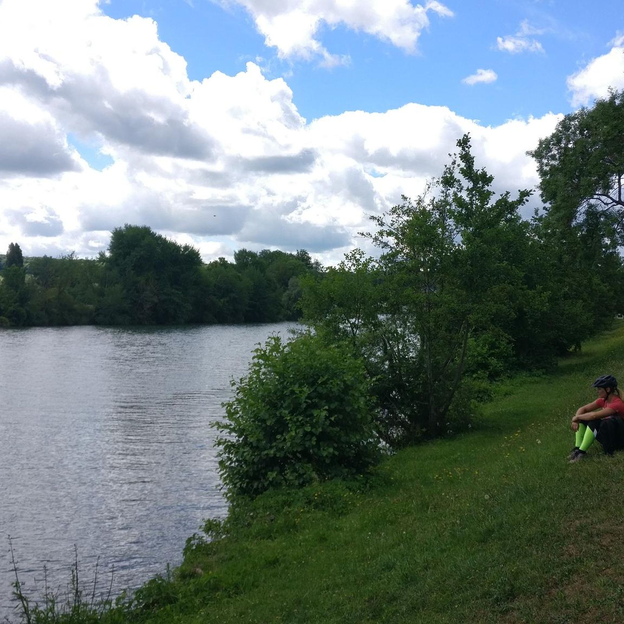
Yes, several routes offer glimpses of interesting landmarks. You can find trails that pass by the King of Rome Obelisk or offer views from the Mont Pagnotte viewpoint. The region itself has a rich history, with traces of a Roman sanctuary and the Renaissance-era church in town. For more historical context, you can explore the historical route along the Oise's left bank.
Can I bring my dog on the running trails around Pont-Sainte-Maxence?
While specific regulations for dogs on every trail may vary, the natural environment of Pont-Sainte-Maxence, including the Halatte Forest and Oise River banks, is generally welcoming to dogs. It's always recommended to keep your dog on a leash, especially in protected areas or near wildlife, and to clean up after them.
Are there any running events held in Pont-Sainte-Maxence?
Yes, Pont-Sainte-Maxence hosts the annual "Trail La Pont'Oise," a significant semi-nocturnal trail race. This event offers multiple distances (8 km, 15 km, 25 km) and even includes routes for children, allowing participants to experience the natural surroundings by day and night on an authentic and demanding course.
What is the best time of year for jogging in Pont-Sainte-Maxence?
Pont-Sainte-Maxence offers enjoyable jogging conditions throughout much of the year. Spring and autumn provide pleasant temperatures and beautiful scenery, especially in the Halatte Forest. Summer can be warm, so early morning or late evening runs are ideal. Winter jogging is also possible, though some trails might be muddy or require appropriate gear depending on weather conditions.
How can I access the running trails if I'm relying on public transport?
Pont-Sainte-Maxence is a town with public transport options, including a train station, which can serve as a starting point for many routes. From the town center, various trails are accessible, particularly those along the Oise River. For routes deeper into the Halatte Forest or towards Mont Pagnotte, you might need to check local bus services or consider a short taxi ride from the town center.
Are there any family-friendly running options in the area?
While many routes offer varied terrain, some of the easier and moderate loops, particularly those along the Oise River or shorter paths within the Halatte Forest, can be suitable for families. Always check the route's distance and elevation profile on komoot to ensure it matches your family's fitness level. The "Trail La Pont'Oise" event even includes routes for children.
Most popular routes around Pont-Sainte-Maxence
Most popular attractions around Pont-Sainte-Maxence

Get inspired with the komoot mobile app


Explore more
Browse the best Running Trails & Routes in other regions.
