The best road cycling routes around Mouchy-Le-Châtel
4.5
(36)
745
riders
189
rides
Road cycling routes around Mouchy-Le-Châtel are situated within the Oise department of the Hauts-de-France region, characterized by a varied topography. The terrain features a modest elevation range, with rolling countryside, river valleys, and extensive state-owned forests such as Forêt de Hez-Froidmont and Forêt de Chantilly. The area offers a network of country lanes and narrow roads, providing diverse gradients for road cyclists.
Best road cycling routes around Mouchy-Le-Châtel
- The most popular road cycling route is Short tour of La Neuville-en-Hez…
Last updated: May 18, 2026
14
riders
Moderate road ride. Good fitness required. Some segments of this route may be unpaved and difficult to ride.
12
riders
Moderate road ride. Good fitness required. Some segments of this route may be unpaved and difficult to ride.

Sign up for free
24
riders
61.4km
02:35
430m
430m
Moderate road ride. Good fitness required. Mostly well-paved surfaces and easy to ride.
5.0
(1)
6
riders
137km
05:49
930m
930m
Hard road ride. Very good fitness required. Some segments of this route may be unpaved and difficult to ride.
4.3
(3)
8
riders
41.7km
01:45
200m
200m
Easy road ride. Great for any fitness level. Mostly well-paved surfaces and easy to ride.
Get access to more routes and recommendations from other explorers.
Sign up for free
Already have an account?
Our route recommendations are based on thousands of hikes, rides, and runs completed by other people on komoot.
Start today with a free account
Your next adventure awaits.
Login or Signup
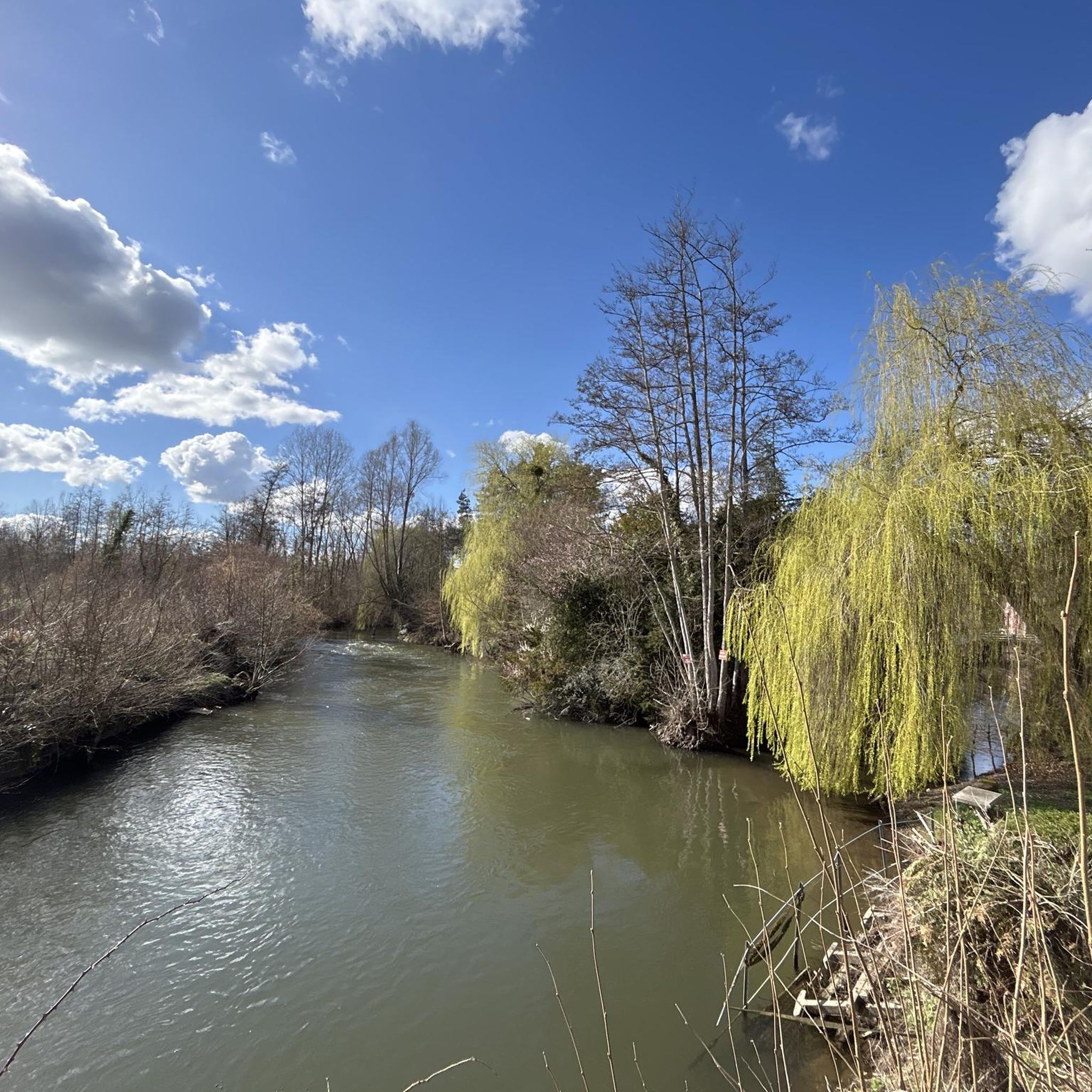

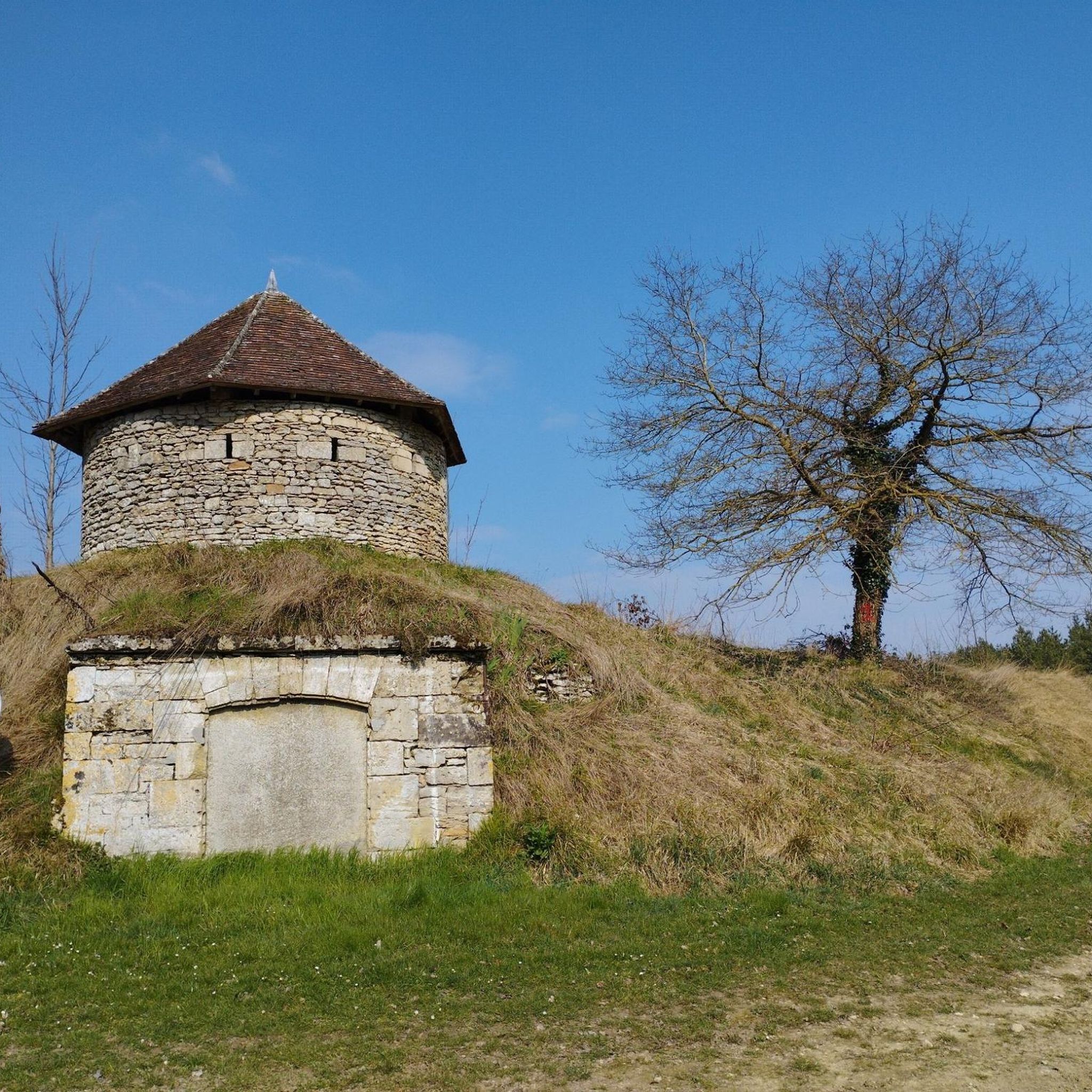

Tips from the Community

A significant historical site with an inscription dating from the Second Empire
0
0

best view of the castle 🏰
0
0
best spots to take a break and admire the castle
0
0
A beautiful place.
0
0

Take the time to do the Gravel tour
0
0

The church was built in the 11th century. It is classified as a “Historic Monument”.
2
0
Frequently Asked Questions
What kind of terrain can I expect when road cycling around Mouchy-Le-Châtel?
The region around Mouchy-Le-Châtel offers a varied topography, characterized by rolling countryside, river valleys, and extensive state-owned forests like Forêt de Hez-Froidmont and Forêt de Chantilly. You'll find a network of country lanes and narrow roads with diverse gradients, ranging from gentle stretches to moderate climbs, suitable for various road cycling preferences.
Are there routes suitable for beginners or those looking for an easier ride?
Yes, Mouchy-Le-Châtel offers a good selection of easier routes. Out of nearly 200 road cycling routes available, 35 are classified as easy. These routes typically feature less elevation gain and shorter distances, perfect for a relaxed ride through the picturesque countryside.
What are some challenging road cycling routes in the area?
For experienced cyclists seeking a challenge, there are 18 difficult routes. One notable option is the Montépilloy Castle – Chantilly Castle loop from Heilles - Mouchy. This route spans 136.9 km and features significant elevation gain, connecting historical castles and offering expansive scenic views.
What historical landmarks or points of interest can I see along the road cycling routes?
Many routes pass by historical sites. For instance, the Short tour of La Neuville-en-Hez – Bresles Castle loop takes you past Bresles Castle. Other attractions in the wider area include the Statue of Saint Louis and the Château Saint Louis Pond.
Are there any routes that go through natural parks or forests?
Absolutely. Mouchy-Le-Châtel is close to the Oise-Pays de France Regional Natural Park, which is excellent for cycling. The Royaumont Abbey – Royaumont Abbey Stream loop, for example, leads directly through this park, offering beautiful forested sections and quiet country lanes. The region also features significant forests like Forêt de Hez-Froidmont and Forêt de Chantilly.
What do other road cyclists say about the routes in Mouchy-Le-Châtel?
The road cycling routes around Mouchy-Le-Châtel are highly rated by the komoot community, with an average score of 4.5 stars from over 30 reviews. Cyclists often praise the varied terrain, the quiet country lanes, and the scenic beauty of the rolling countryside and forests.
Can I find circular road cycling routes around Mouchy-Le-Châtel?
Yes, many of the routes are designed as loops, allowing you to start and finish in the same location. Examples include the Short tour of La Neuville-en-Hez – Bresles Castle loop and the Montépilloy Castle – Chantilly Castle loop, providing convenient options for exploring the area.
What is the best time of year for road cycling in this region?
The Oise department, including Mouchy-Le-Châtel, is generally pleasant for cycling from spring through autumn. The weather is typically mild, making it ideal for enjoying the picturesque countryside and forests. Summers are warm but often manageable, while spring and autumn offer cooler temperatures and beautiful foliage.
Are there any viewpoints along the road cycling routes?
While specific viewpoints are not always marked on every route, the rolling countryside and varied elevation naturally offer many scenic vistas. The View of the Thérain Valley from Mont César is a notable highlight in the broader area that cyclists might encounter or seek out for panoramic views.
How many road cycling routes are available in total around Mouchy-Le-Châtel?
There are nearly 200 road cycling routes available around Mouchy-Le-Châtel, offering a wide range of options for different skill levels and preferences. This includes 35 easy, 133 moderate, and 18 difficult routes.
Are there any cycling routes that connect to other towns or regions?
Yes, the Oise region has an extensive cycling network. Routes often connect Mouchy-Le-Châtel to nearby towns like Beauvais (16 km away) and Chantilly (21 km away). The Oise-Pays de France Regional Natural Park, accessible from Mouchy-Le-Châtel, also features numerous cycling routes that extend to other areas, including the 'Trans'Oise' greenway.
What is the elevation range like for road cycling in the Mouchy-Le-Châtel area?
The terrain around Mouchy-Le-Châtel features a modest elevation range, from a minimum of 56 meters to a maximum of 125 meters. This provides varied gradients suitable for road cyclists seeking both leisurely rides and more challenging ascents, with the wider Oise region boasting 101 climbs ranging from 148 feet to 758 feet above sea level.
Most popular attractions around Mouchy-Le-Châtel

Get inspired with the komoot mobile app


Explore more
Browse the best Road cycling routes in other regions.
