The best walks and hikes around Connelles
4.5
(550)
3,239
hikers
131
hikes
Hiking around Connelles offers diverse trails along the Seine river and through the surrounding hills and woodlands of Normandy. The region is characterized by its varied elevation, providing both riverside paths and climbs to scenic viewpoints. These hiking trails around Connelles traverse a landscape rich in natural beauty, with routes suitable for different experience levels.
Best hiking trails around Connelles
- The most popular hiking route is Belvédère de Notre-Dame de Bellegarde — loop from Muids, a 10.6 miles (17.0 km) trail that takes 4 hours 32 minutes to complete. This moderate route includes ascents to a belvedere offering panoramic views.
- Another top favourite among local hikers is View of the Seine via GR2 – View of Le Petit Andely loop from Le Haut des Bosregards, a difficult 14.7 miles (23.7 km) path. This challenging trail follows part of the GR2, providing extensive views of the Seine river.
- Local hikers also love the Moulin de Muids loop from Muids, a 8.8 miles (14.1 km) trail leading through varied terrain, often completed in about 3 hours 47 minutes.
- Hiking around Connelles is defined by Seine river views, forested paths, and rolling hills. The network offers options for different ability levels, from moderate loops to more challenging long distance hikes around Connelles.
- The routes in Connelles are highly rated by the komoot community with an average score of 4.6 stars from over 400 reviews. More than 3000 hikers have used komoot to explore Connelles's varied terrain.
Last updated: August 29, 2026
5.0
(3)
8
hikers
17.0km
04:32
170m
170m
Moderate hike. Good fitness required. Easily-accessible paths. Suitable for all skill levels.
4.8
(5)
37
hikers
Hard hike. Very good fitness required. Mostly accessible paths. Sure-footedness required.

Sign up for free
5.0
(5)
21
hikers
14.1km
03:47
150m
150m
Moderate hike. Good fitness required. Easily-accessible paths. Suitable for all skill levels.
4.5
(2)
41
hikers
8.55km
02:25
160m
160m
Moderate hike. Good fitness required. Easily-accessible paths. Suitable for all skill levels.
4.6
(12)
37
hikers
7.82km
02:13
130m
130m
Moderate hike. Good fitness required. Mostly accessible paths. Sure-footedness required.
Get access to more routes and recommendations from other explorers.
Sign up for free
Already have an account?
Our route recommendations are based on thousands of hikes, rides, and runs completed by other people on komoot.
Start today with a free account
Your next adventure awaits.
Login or Signup

Tips from the Community

I recommend this bike ride, the roads are quiet.
0
0

The view is worth the significant elevation gain of this hike.
0
0
An imposing building with a dome
1
0
Imposing building with a dome
0
0


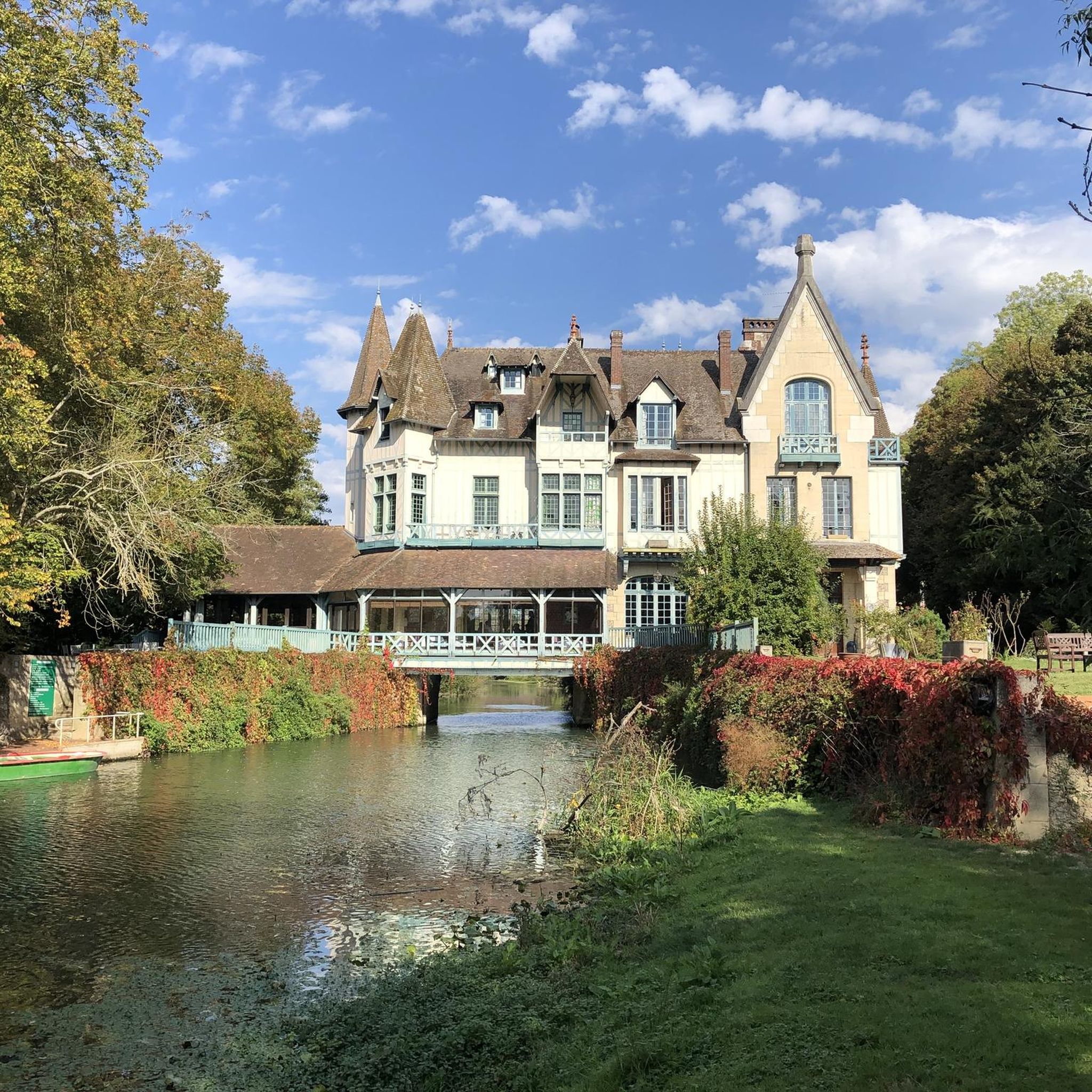
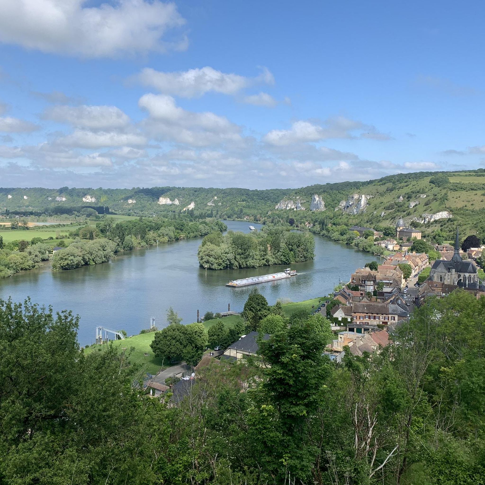
Following the GR2, the view of Château Gaillard, in Andelys, is magnificent. This ruined medieval castle, built by Richard the Lionheart in the 12th century, overlooks the Seine from the top of a cliff. You can take the GR2, a long-distance hiking trail that runs along the river, from Val Saint-Martin to the castle. The path offers beautiful views of the valley, the river and the town of Les Andelys.
2
0
The orientation table on the Cote des Deux Amants offers an exceptional panorama of the Seine valley, the Amfreville locks, the Poses dam and the lakes of the Léry-Poses leisure centre. Legend has it that two lovers died there after trying to prove their love by running up the hill with the girl on the boy's back (hope you run without that extra person today! It's a place where nature , history and adventure collide.
2
0
This 17th century castle owes its name to the tragic legend of two lovers who died on a nearby hill. You can walk the surrounding trails that lead to other historic sites, like the Prieuré des Deux-Amants, a former monastery built by the remorse-ridden lover's father.
2
0
Frequently Asked Questions
How many hiking trails are available around Connelles?
There are nearly 140 hiking trails around Connelles, offering a wide variety of options. These include 45 easy routes, 82 moderate trails, and 12 more challenging paths, catering to different fitness levels and preferences.
Are there any easy hiking trails suitable for beginners or families in Connelles?
Yes, Connelles offers 45 easy hiking routes. While specific family-friendly routes aren't detailed here, many easy trails along the Seine river or through less hilly woodlands are generally suitable for beginners and families. Look for routes with minimal elevation gain for a relaxed experience.
What are some challenging long-distance hikes in the Connelles area?
For those seeking a challenge, Connelles has 12 difficult routes. A notable option is the View of the Seine via GR2 – View of Le Petit Andely loop from Le Haut des Bosregards, a demanding 23.7 km (14.7 miles) path that follows part of the GR2, offering extensive views of the Seine river.
Are there circular hiking routes available in Connelles?
Many trails in Connelles are designed as loops, allowing you to start and end at the same point. Examples include the moderate Poses – Château des Deux Amants loop from Amfreville-sous-les-Monts, which covers 8.5 km (5.3 miles), and the Viewpoint with Stone Bench loop from Saint-Pierre-du-Vauvray, a 7.8 km (4.8 miles) moderate trail.
What kind of viewpoints can I expect on hikes around Connelles?
Hiking around Connelles often rewards you with panoramic views, particularly of the Seine river and the surrounding Norman landscape. Trails like the Belvédère de Notre-Dame de Bellegarde — loop from Muids include ascents to belvederes offering expansive vistas. The region's varied elevation ensures many opportunities for scenic overlooks.
What do other hikers enjoy most about the trails in Connelles?
The hiking trails in Connelles are highly rated by the komoot community, with an average score of 4.6 stars from over 470 reviews. Hikers frequently praise the diverse terrain, which includes beautiful Seine river views, peaceful forested paths, and rolling hills. The variety of routes suitable for different ability levels is also a common highlight.
Are there any historical landmarks or castles to see near the hiking trails?
Yes, the region around Connelles is rich in history. You can explore several castles, including the famous medieval fortress of Château Gaillard, or visit Radepont Castle and Bonnemare Castle. Some trails may offer views of these historic sites.
Are there any lakes or water features to visit while hiking in Connelles?
Yes, several beautiful lakes are located near Connelles that can be combined with your hiking adventures. Notable options include Two Lovers' Lake, Lac du Mesnil, and Lac de Venables. These offer serene settings and opportunities for waterside walks.
Is public transport available to access hiking trails in Connelles?
While Connelles itself is a smaller commune, public transport options in the wider Normandy region may connect to nearby towns. It's advisable to check local bus schedules for routes serving villages close to trailheads. However, many trails might require personal vehicle access for convenience.
What is the best time of year to go hiking in Connelles?
The best time for hiking in Connelles is generally from spring to autumn (April to October). During these months, the weather is milder, and the natural scenery, including the Seine riverbanks and woodlands, is at its most vibrant. Autumn offers beautiful foliage, while spring brings blooming flora.
Are the hiking trails around Connelles dog-friendly?
Many natural trails in the Connelles region are generally dog-friendly, especially those through forests and along river paths. However, it's always recommended to keep dogs on a leash, particularly in areas with wildlife or near agricultural land, and to check specific trail regulations for any restrictions.
Where can I find parking for hiking trails in Connelles?
Parking availability varies by trailhead. Many routes start from villages like Muids or Amfreville-sous-les-Monts, where you can often find public parking areas. For specific trails, it's best to check the route details on komoot, as users often share information about parking spots near the starting points.
Most popular routes around Connelles
Most popular attractions around Connelles

Get inspired with the komoot mobile app


Explore more
Browse the best Hikes in other regions.
