The best running trails around Saint-Georges-De-Rouelley
4.5
(12)
473
runners
64
runs
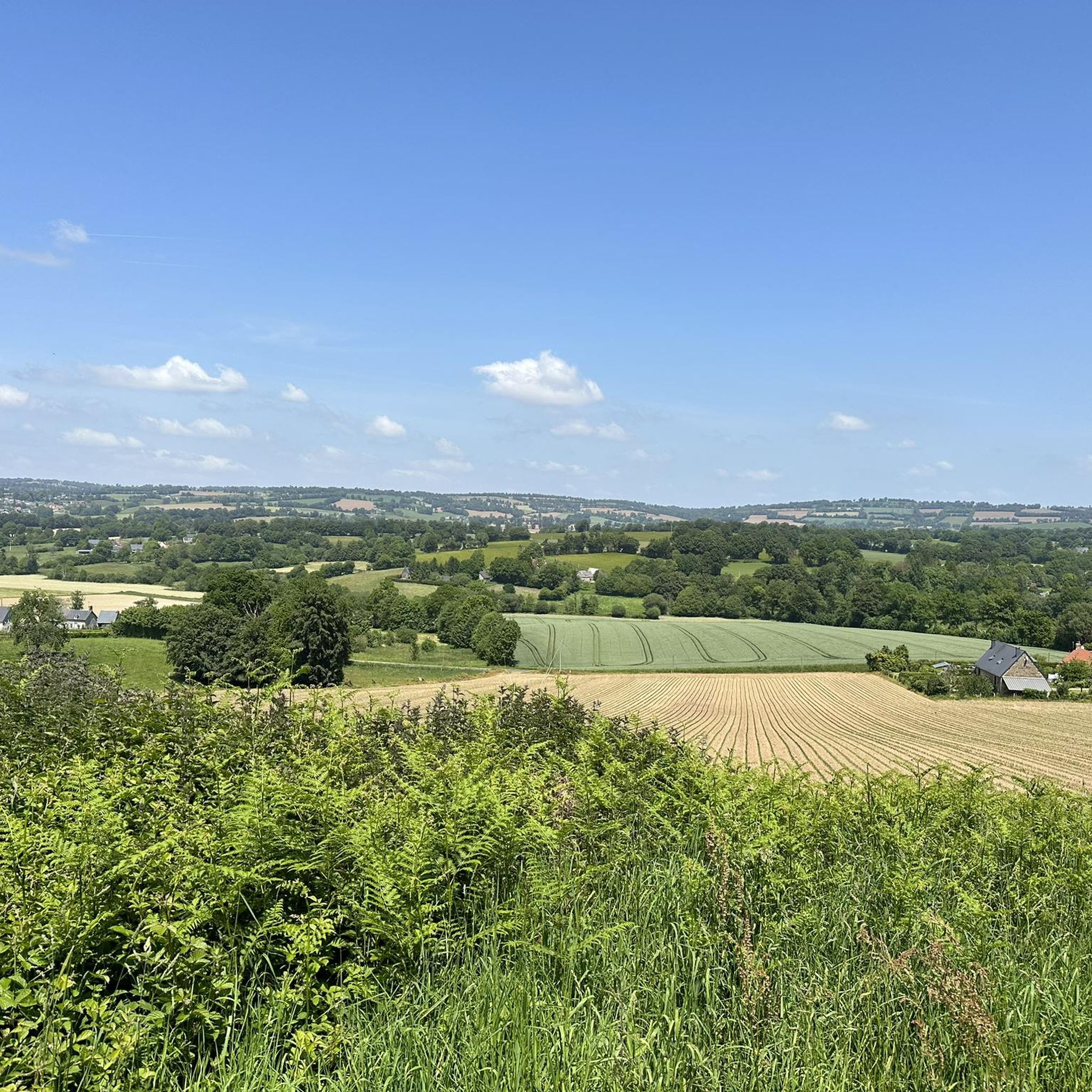
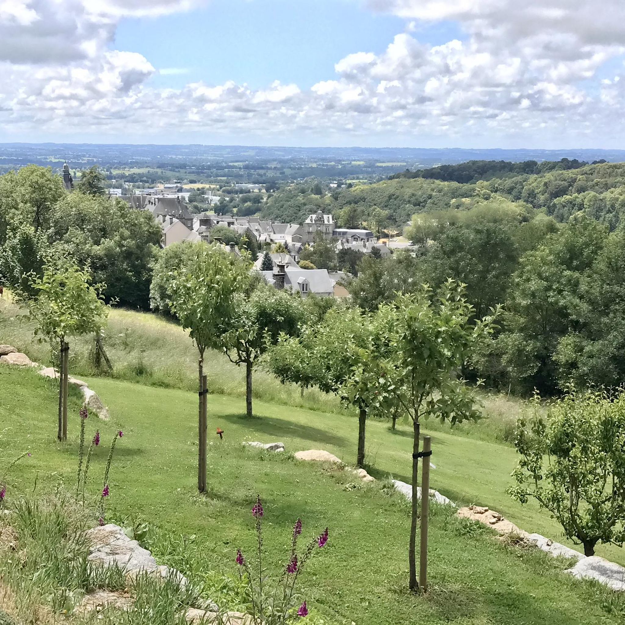
Jogging routes around Saint-Georges-De-Rouelley are primarily situated within the Normandie-Maine Regional Natural Park, offering a landscape characterized by natural parkland, woodlands, and scenic lake areas. The terrain includes varied elevations, with some routes featuring moderate climbs. This region provides a natural setting for outdoor running, with paths often circling natural features like lakes and quarries.
Best jogging routes around Saint-Georges-De-Rouelley
- The most popular jogging route is La Fosse Arthour — loop — running in the Normandie-Maine Regional Natural Park and…
Last updated: July 8, 2026
10
runners
Moderate run. Good fitness required. Mostly paved surfaces. Suitable for all skill levels.
4.0
(1)
17
runners
15.5km
01:51
210m
210m
Hard run. Very good fitness required. Mostly paved surfaces. Suitable for all skill levels.

Sign up for free
8
runners
11.3km
01:21
130m
130m
Moderate run. Good fitness required. Mostly paved surfaces. Suitable for all skill levels.
8
runners
8.26km
00:57
140m
140m
Moderate run. Good fitness required. Mostly paved surfaces. Suitable for all skill levels.
10
runners
13.2km
01:34
180m
180m
Moderate run. Good fitness required. Mostly paved surfaces. Suitable for all skill levels.
Get access to more routes and recommendations from other explorers.
Sign up for free
Already have an account?
Our route recommendations are based on thousands of hikes, rides, and runs completed by other people on komoot.
Start today with a free account
Your next adventure awaits.
Login or Signup


Tips from the Community

Each of these crosses, which the traveler often encounters in the fields or, as here under the name "Calvaire du Roc," at the top of the rock, is a sign commemorating the crucifixion and resurrection of Jesus Christ. "Here on earth, His memory exists, but in the Kingdom of Heaven is His presence: this presence is the joy of those who have already attained salvation. Remembrance is our comfort, we who are still wanderers, traveling towards our homeland." (Saint Bernard of Clairvaux, c. 1090–1153)
0
0

beautiful lake that you can run around.
0
0

Nice walk, especially in dry weather. The last 200 meters have to go through water. But definitely do it in the summer.
0
0

Situated 70 meters above the top of the gorge, this ridge is the highest point for miles around, from where there are stunning views.
2
0

unmissable site... King Arthur rests there...
2
0

70 meters deep, this gorge has many attractions. On the heights, you will find a superb panorama as well as a Calvary marking the highest point of the ridge. In the rocks, two legendary caves symbolize the chambers of King Arthur and Queen Guinevere, hence the name Arthur Pit (Arthur). Below, the river having dug the gorge, the Sonce, is transformed into a waterfall. An artificial pond that was created to regulate the flow is also nearby. Not to mention the inn on the site, ideal for regaining strength after strolling around the site: https://aubergedelafossearthour.com/
3
0
Dug into the rock bar separating Mortain and Domfront, this former quarry offers beautiful landscapes. Below, the view mixes rock and vegetation. The small path that leads to the top is lovely. As for the heights, they release even more the vision for the greatest pleasure of the hikers.
2
0

Among the many legends that animate the Mortainais, we share one with our Breton neighbors: those of the Arthurian myth. Because it is here, at the Fosse Arthour, that King Arthur and his wife Guinevere would rest. Two places in particular, on either side of the Sonce river, tell us this story. According to Arthurian legend, and as the Normans tell it, Arthur and Guinevere decided to retire to the region, to live their last days, each living on his own, in caves still visible today. However, Arthur was not allowed to visit the queen other than at sunset. But Arthur could not bring himself to do so and died when he fell into the ravine, precipitated by the genius of the Pit. Guinevere's Room is across the river. Unlike Arthur's, the cave is still visible. Legend has it that after Arthur fell over the precipice, Guinevere threw herself into it. Source: https://www.ot-montsaintmichel.com
2
0
Frequently Asked Questions
How many running routes are available in Saint-Georges-De-Rouelley?
There are over 50 running routes around Saint-Georges-De-Rouelley, offering a variety of options for different skill levels and preferences.
What do other runners say about the trails in Saint-Georges-De-Rouelley?
The running trails in this area are highly rated by the komoot community, with an average score of 4.1 stars from over 10 reviews. Runners often praise the natural parkland, woodlands, and scenic lake loops that define the region.
Are there easy running routes for beginners in Saint-Georges-De-Rouelley?
Yes, there are 5 easy running routes suitable for beginners. These paths generally feature less elevation gain and shorter distances, making them ideal for those new to running or looking for a relaxed jog.
Are there challenging running routes for experienced runners?
Absolutely. For experienced runners seeking a challenge, there are 7 difficult routes available. One such route is Fosse Arthour – Pretty little lake loop from La Fieffe sous les buttes, which covers 9.7 miles (15.6 km) with varied terrain and significant elevation changes.
What kind of terrain can I expect on the running trails around Saint-Georges-De-Rouelley?
The terrain primarily consists of natural parkland, woodlands, and scenic lake areas within the Normandie-Maine Regional Natural Park. You can expect varied elevations, with some routes featuring moderate climbs and paths often circling natural features like lakes and quarries.
Are there circular running routes in the area?
Many of the running routes around Saint-Georges-De-Rouelley are circular, allowing you to start and finish at the same point. An example is La Fosse Arthour — loop — running in the Normandie-Maine Regional Natural Park and Geopark, a 5.4-mile (8.6 km) trail that offers a complete loop through the natural park.
Are the running trails in Saint-Georges-De-Rouelley dog-friendly?
While many natural park trails are generally dog-friendly, it's always best to check specific route details or local regulations within the Normandie-Maine Regional Natural Park. Always keep your dog on a leash and clean up after them to respect wildlife and other users.
Are there running routes suitable for families?
Yes, several routes are suitable for families, especially the easier ones with less challenging terrain. These routes often provide a pleasant way to enjoy the natural surroundings together. Look for routes marked as 'easy' for the most family-friendly options.
What natural features or landmarks can I see while running?
The region is rich in natural beauty. Many routes pass by the impressive Fosse Arthour gorge, and you might also encounter scenic lake areas and quarries. The trails offer excellent viewpoints of the surrounding parkland.
Are there any historical sites or points of interest near the running routes?
Yes, the area boasts several historical points of interest. You can explore the medieval town of Domfront and its castle, or discover the intriguing Tertre Sainte-Anne and the Legend of the Dragon. Some routes might even offer glimpses of the Véloscénie Greenway towards Mont Saint-Michel.
Are there running routes with parking available?
Many trailheads in natural parks typically offer designated parking areas. For specific routes, it's advisable to check the route description on komoot, as parking information is often included there. Routes starting from villages or popular attractions usually have accessible parking.
What is the best time of year to go running in Saint-Georges-De-Rouelley?
Spring and autumn generally offer the most pleasant conditions for running, with mild temperatures and beautiful scenery as the foliage changes. Summer can also be enjoyable, especially in the mornings or evenings, but be mindful of warmer temperatures. Winter running is possible, but trails might be muddy or icy.
Can I go running in Saint-Georges-De-Rouelley during winter?
Yes, running in winter is possible, but be prepared for potentially colder temperatures, shorter daylight hours, and possibly muddy or icy conditions on some trails. Layered clothing, appropriate footwear, and checking local weather forecasts are recommended.
Most popular routes around Saint-Georges-De-Rouelley
Most popular attractions around Saint-Georges-De-Rouelley

Get inspired with the komoot mobile app


Explore more
Browse the best Running Trails & Routes in other regions.
