The best walks and hikes around Régnié-Durette
4.5
(870)
4,261
hikers
326
hikes
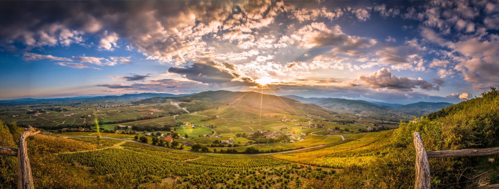
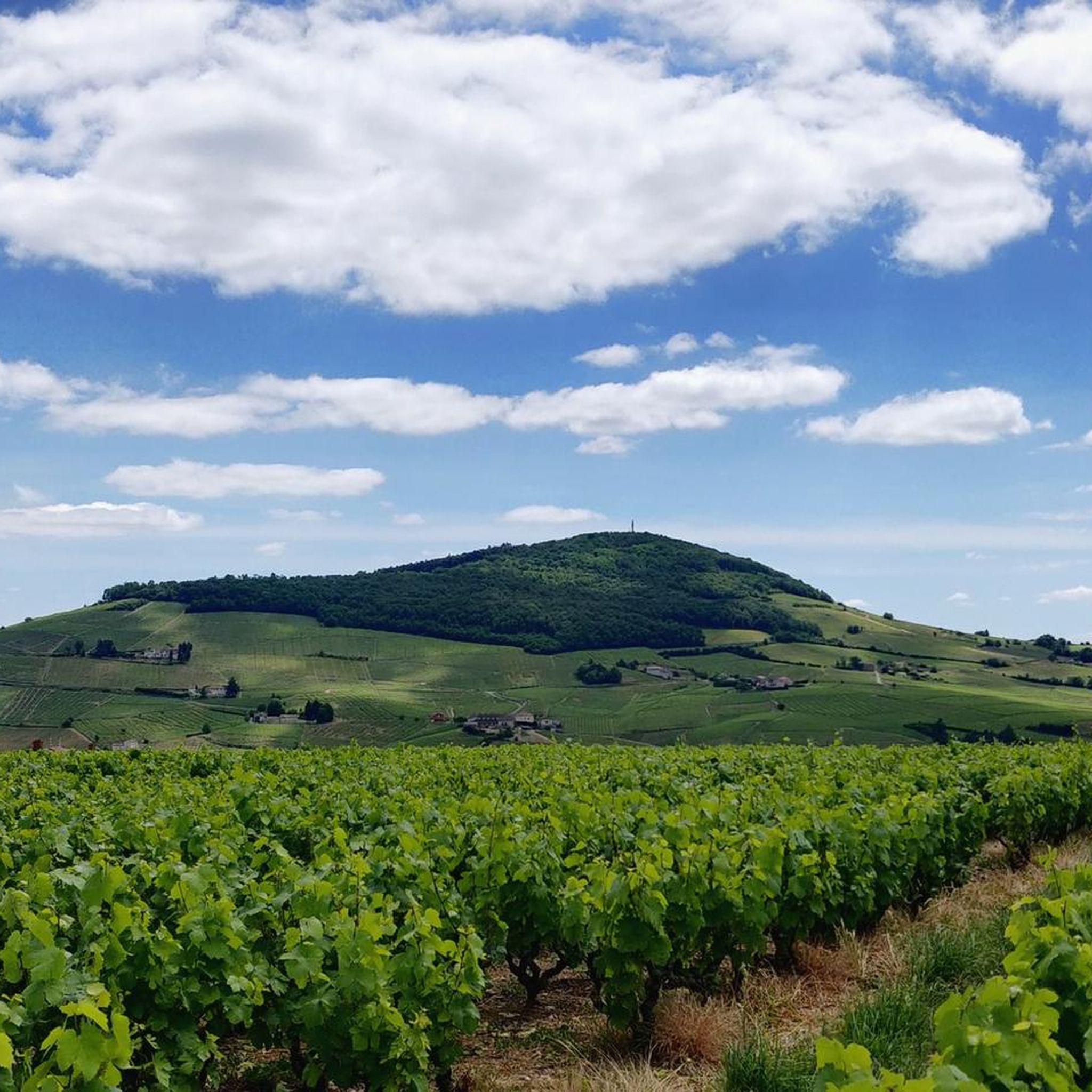
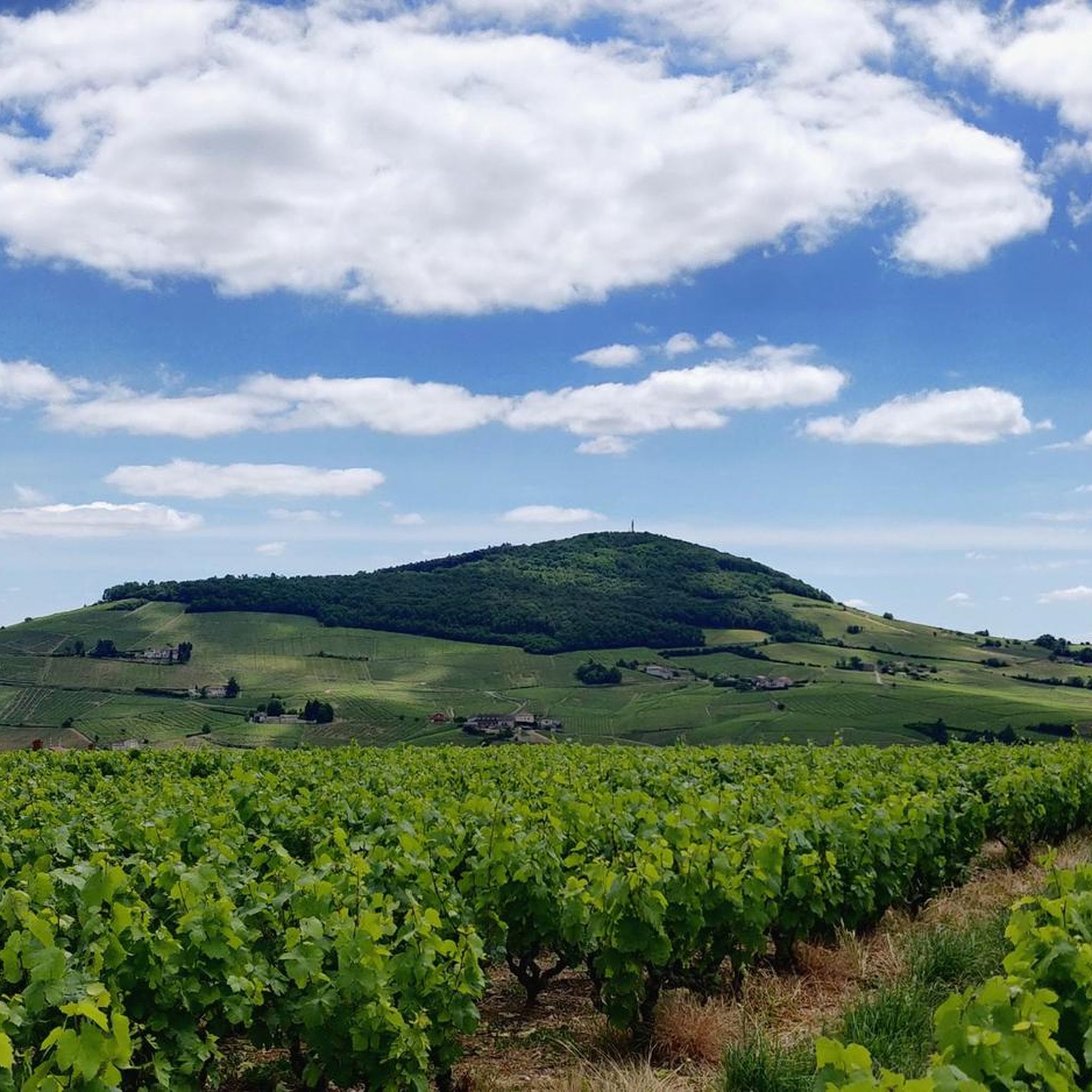
Hiking around Régnié-Durette offers diverse landscapes characterized by vineyards, rolling hills, and forested areas. The region features elevated points providing panoramic views over the Saône plain and surrounding Beaujolais mountains. Trails often follow rivers and showcase varied subsoils, including sandstone formations. The undulating terrain provides varied levels of hiking difficulty.
Best hiking trails around Régnié-Durette
- The most popular hiking route is Col du Fût d'Avenas – Rochefort Cross loop from Avenas, an easy 4.1 miles (6.6 km) trail that…
Last updated: June 27, 2026
4.6
(11)
50
hikers
9.34km
02:39
200m
200m
Moderate hike. Good fitness required. Easily-accessible paths. Suitable for all skill levels.
4.8
(8)
26
hikers
3.22km
00:57
90m
90m
Easy hike. Great for any fitness level. Easily-accessible paths. Suitable for all skill levels.

Sign up for free
4.8
(8)
27
hikers
3.27km
00:57
80m
80m
Easy hike. Great for any fitness level. Easily-accessible paths. Suitable for all skill levels.
3.8
(4)
37
hikers
7.34km
02:05
160m
160m
Moderate hike. Good fitness required. Easily-accessible paths. Suitable for all skill levels.
5.0
(7)
13
hikers
10.1km
02:56
260m
260m
Moderate hike. Good fitness required. Easily-accessible paths. Suitable for all skill levels.
Get access to more routes and recommendations from other explorers.
Sign up for free
Already have an account?
Our route recommendations are based on thousands of hikes, rides, and runs completed by other people on komoot.
Start today with a free account
Your next adventure awaits.
Login or Signup

Other adventures around Régnié-Durette

Tips from the Community

Since a cross crowning the summit is often found on mountains, the small sacred monument found here – consisting only of the crossbeams, without the body of the crucified Christ – should come as no surprise to bikers. From its prominent location, this Christian symbol of salvation is visible from afar. The builders of the "Croix de Rochefort" certainly also intended to invoke God's blessing on the surrounding land – and especially the people living there. An orientation panel located a little way off explains the landscape to the viewer.
0
0


Chapel built after a mildew epidemic that ravaged crops. It was built to protect the site. Explanatory panels on site
1
0

very beautiful view of Beaujolais
1
0

An imposing 6-meter white cross erected in 1931, weighing 1,200 kg and visible from Beaujeu. A symbol of protection for the Beaujolais region, it bears witness to a remarkable logistical feat during its installation.
0
0
The highest point at 892 meters offers an exceptional panorama of Beaujolais. Accessible by several routes, it represents a sporting challenge rewarded by breathtaking views.
1
0

Frequently Asked Questions
How many hiking trails are available around Régnié-Durette?
There are over 300 hiking routes around Régnié-Durette, offering a wide range of options from easy strolls to more challenging treks. You'll find diverse landscapes including vineyards, forests, and rolling hills.
What kind of terrain can I expect on hikes in Régnié-Durette?
Hikes in Régnié-Durette primarily feature picturesque vineyards, rolling hills, and forested areas. You might also encounter paths along rivers and unique geological sites, such as the sandstone blocks at Tour Bourdon. The varied subsoils contribute to a diverse and interesting landscape.
Are there easy hiking options suitable for beginners in Régnié-Durette?
Yes, Régnié-Durette offers many easy hiking options. For example, the Chiroubles Terrace – Discovery trail of the crus loop from Avenas is a short, easy route through vineyard landscapes, perfect for a leisurely walk. Overall, there are 87 easy tours available.
Can I find hikes with panoramic viewpoints in Régnié-Durette?
Absolutely. The region is known for its stunning panoramic views. From the esplanade of the church in Régnié-Durette, you can see the Saône plain and even the Alps on clear days. Other notable viewpoints include Rochefort Cross and Mont Brouilly, which offer expansive vistas of the Beaujolais mountains, vineyards, and beyond.
Are there any circular hiking routes in the area?
Yes, many of the trails around Régnié-Durette are circular, allowing you to start and end at the same point. An example is the Rochefort Cross – Rochefort Cross loop from Avenas, which is an easy 6.6 km route offering great views.
What are some interesting landmarks or attractions I can see while hiking?
Beyond the natural beauty, you can explore several landmarks. The imposing Church with Two Bell Towers in Régnié-Durette is a significant architectural site. The Rochefort Cross is a prominent monument offering views, and the Mont Brouilly summit with its chapel is another iconic spot. You can also visit the Tour Bourdon géosite to see massive sandstone blocks.
Is Régnié-Durette a good destination for family-friendly hikes?
Yes, Régnié-Durette offers several family-friendly trails. The varied landscapes and shorter, easier routes make it suitable for families with children. Many paths wind through vineyards and forests, providing an engaging outdoor experience for all ages.
What is the best time of year to go hiking in Régnié-Durette?
The best time to hike in Régnié-Durette is typically from spring to autumn. During these seasons, the weather is generally pleasant, and the vineyards are lush or vibrant with autumn colors. Spring brings blooming flowers, while autumn offers a spectacular display of fall foliage across the hills.
Are there options for parking near the trailheads in Régnié-Durette?
Yes, parking is generally available in and around Régnié-Durette village, as well as at various points near popular trailheads. It's advisable to check specific route details for the most convenient parking locations for your chosen hike.
What do other hikers enjoy most about hiking in Régnié-Durette?
The area is highly rated by the komoot community, with an average score of 4.5 stars from over 700 reviews. Hikers often praise the picturesque vineyard landscapes, the stunning panoramic views from elevated points, and the well-maintained network of trails that cater to all fitness levels.
Are there any moderate difficulty hikes for those looking for a bit more challenge?
Yes, Régnié-Durette has a good selection of moderate hikes. For instance, the Col du Fût d'Avenas – Rochefort Cross loop from Avenas is a popular moderate 7.4 km path that takes approximately 2 hours and 6 minutes to complete, offering varied terrain and rewarding views.
Most popular routes around Régnié-Durette
Most popular attractions around Régnié-Durette

Get inspired with the komoot mobile app


Explore more
Browse the best Hikes in other regions.
