The best road cycling routes around Bray-Et-Lû
4.2
(52)
922
riders
24
rides
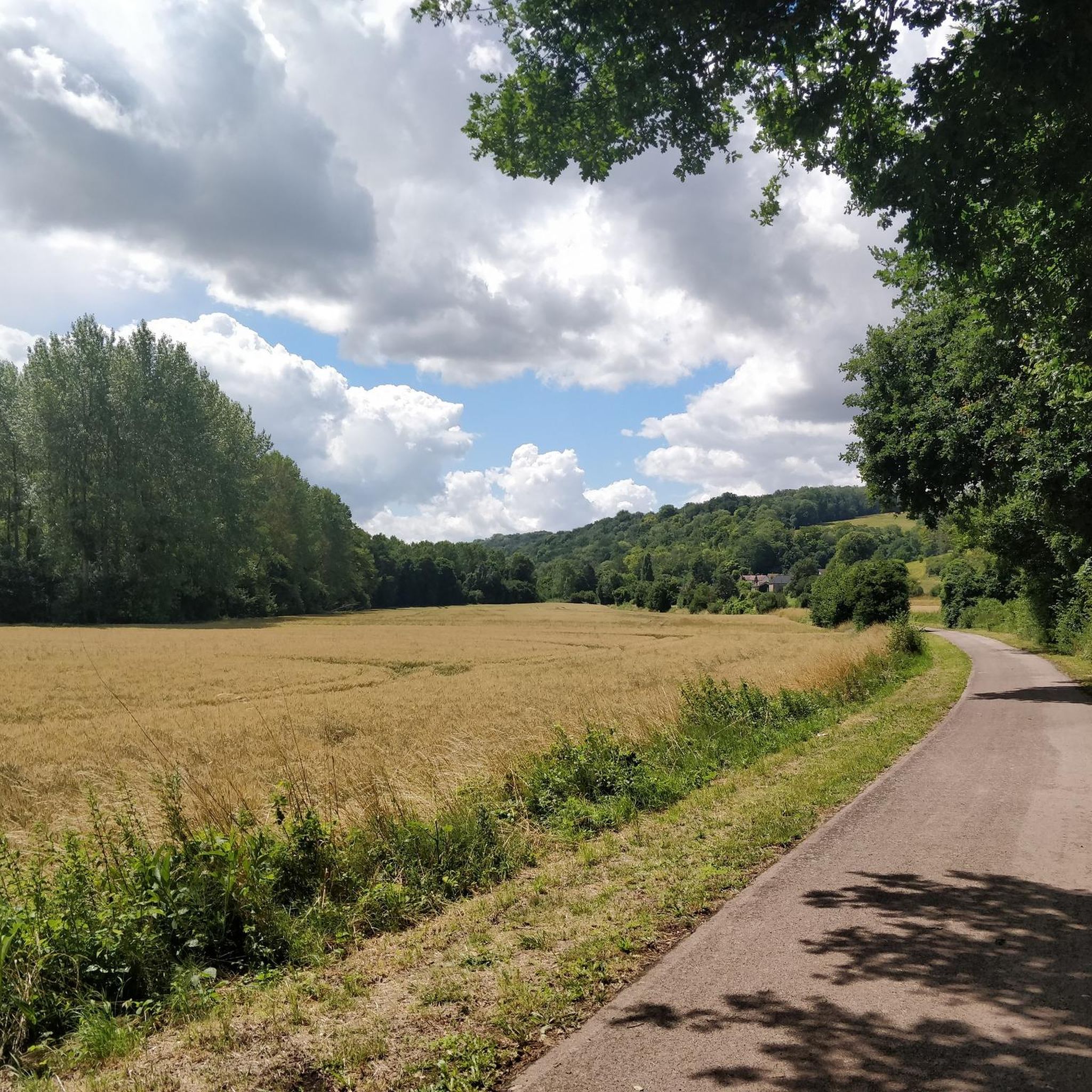
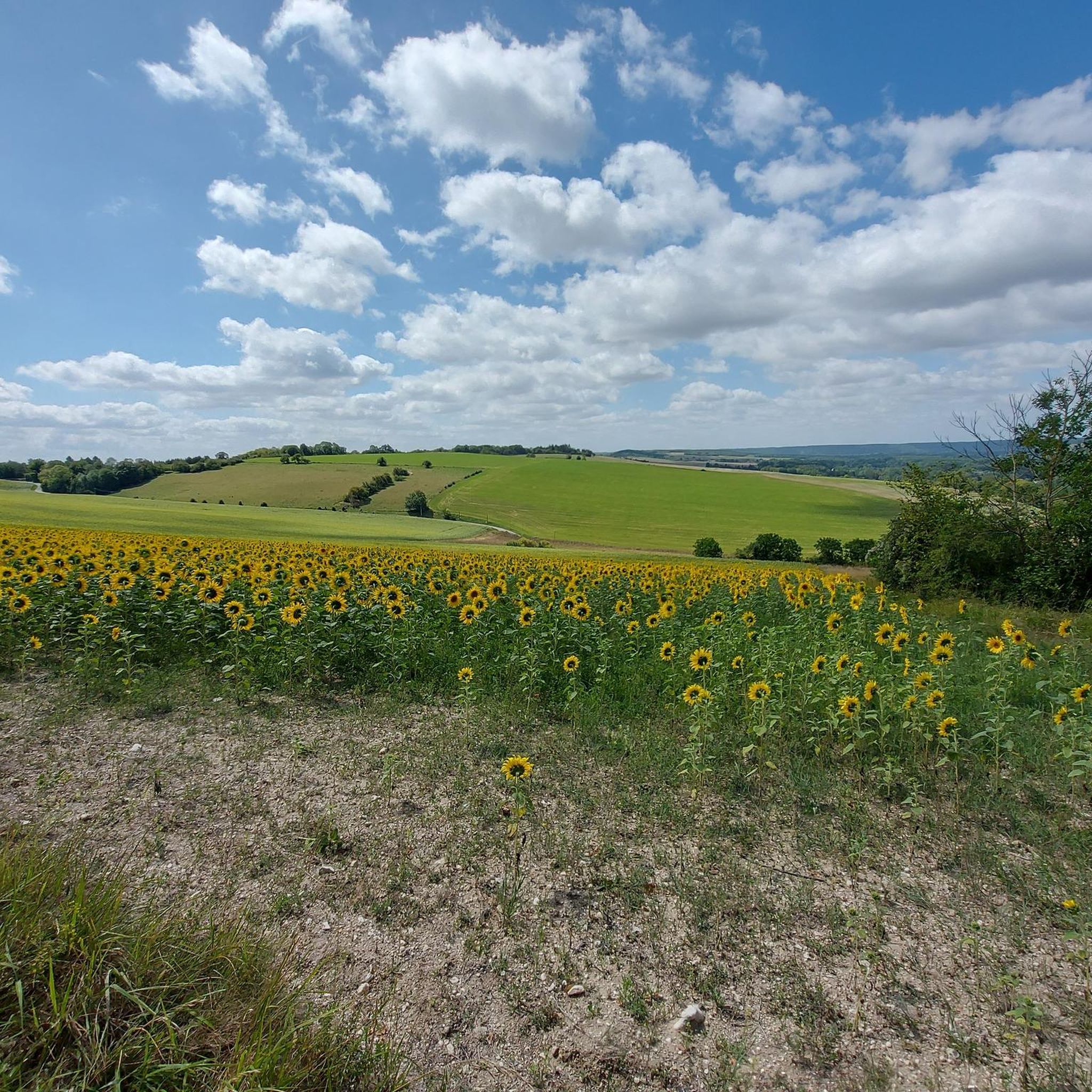
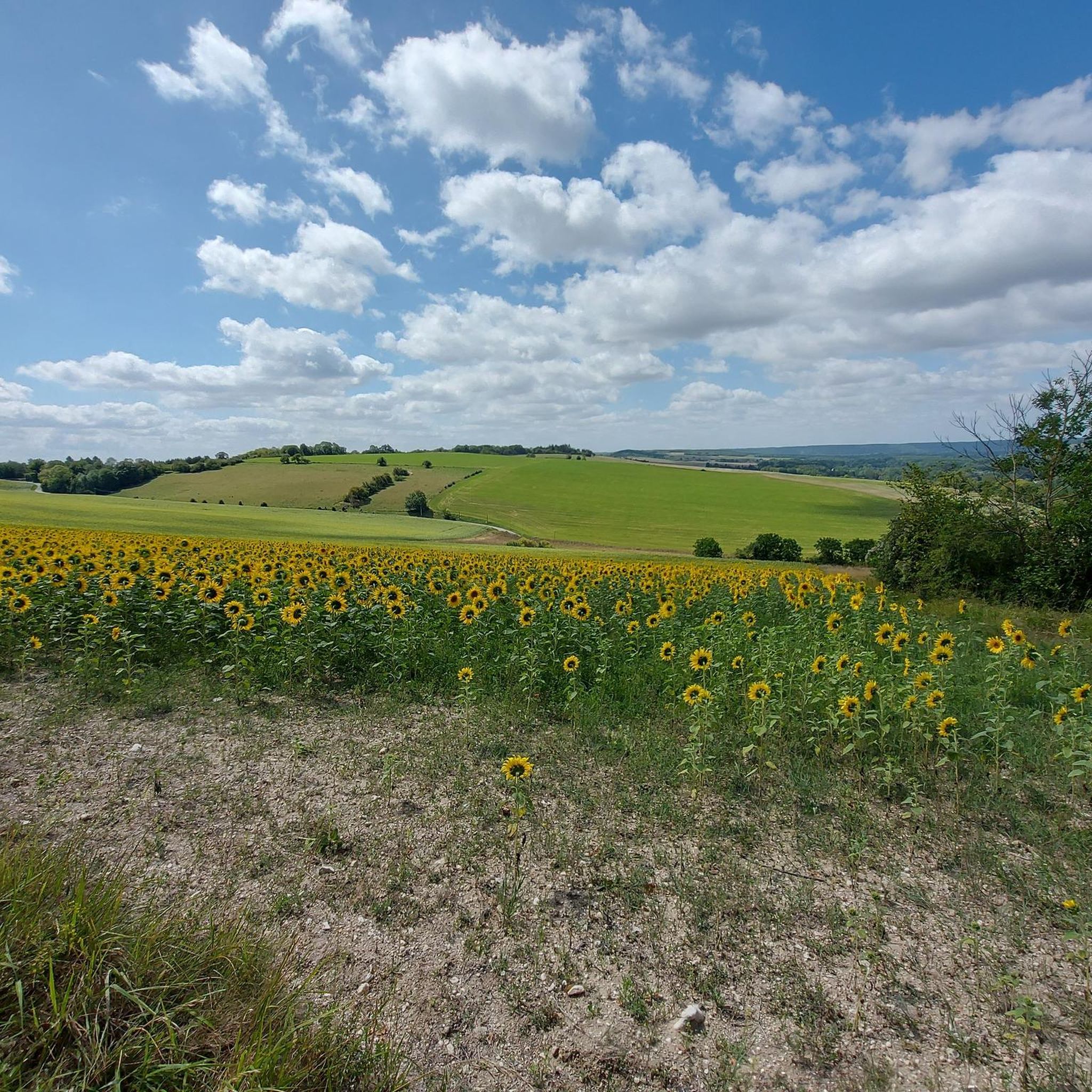
Road cycling routes around Bray-Et-Lû are set within the Vexin Français Regional Natural Park, characterized by a limestone plateau approximately 100 meters high. This region features diverse terrain, including river valleys like the Seine and Epte, over 10,000 hectares of woods and forests, and expansive agricultural fields. Cyclists can expect a mix of flats, false flats, and hills, providing varied landscapes for road cycling.
Best road cycling routes around Bray-Et-Lû
- The most popular road cycling route is Seine view –…
Last updated: June 29, 2026
8
riders
93.4km
03:54
520m
520m
Moderate road ride. Good fitness required. Mostly well-paved surfaces and easy to ride.
9
riders
72.4km
03:12
580m
580m
Moderate road ride. Good fitness required. Mostly well-paved surfaces and easy to ride.

Sign up for free
4
riders
102km
04:34
850m
850m
Moderate road ride. Good fitness required. Some segments of this route may be unpaved and difficult to ride.
4
riders
111km
04:31
670m
670m
Moderate road ride. Good fitness required. Mostly well-paved surfaces and easy to ride.
5
riders
106km
04:52
830m
830m
Moderate road ride. Good fitness required. Mostly well-paved surfaces and easy to ride.
Get access to more routes and recommendations from other explorers.
Sign up for free
Already have an account?
Our route recommendations are based on thousands of hikes, rides, and runs completed by other people on komoot.
Start today with a free account
Your next adventure awaits.
Login or Signup

Tips from the Community


Maybe the oldest medieval small castle still in an almost original state
0
0

Ideal for a quick snack break
0
0

Magnificent place with the attached church of Saints Donatian and Rogatian
0
0
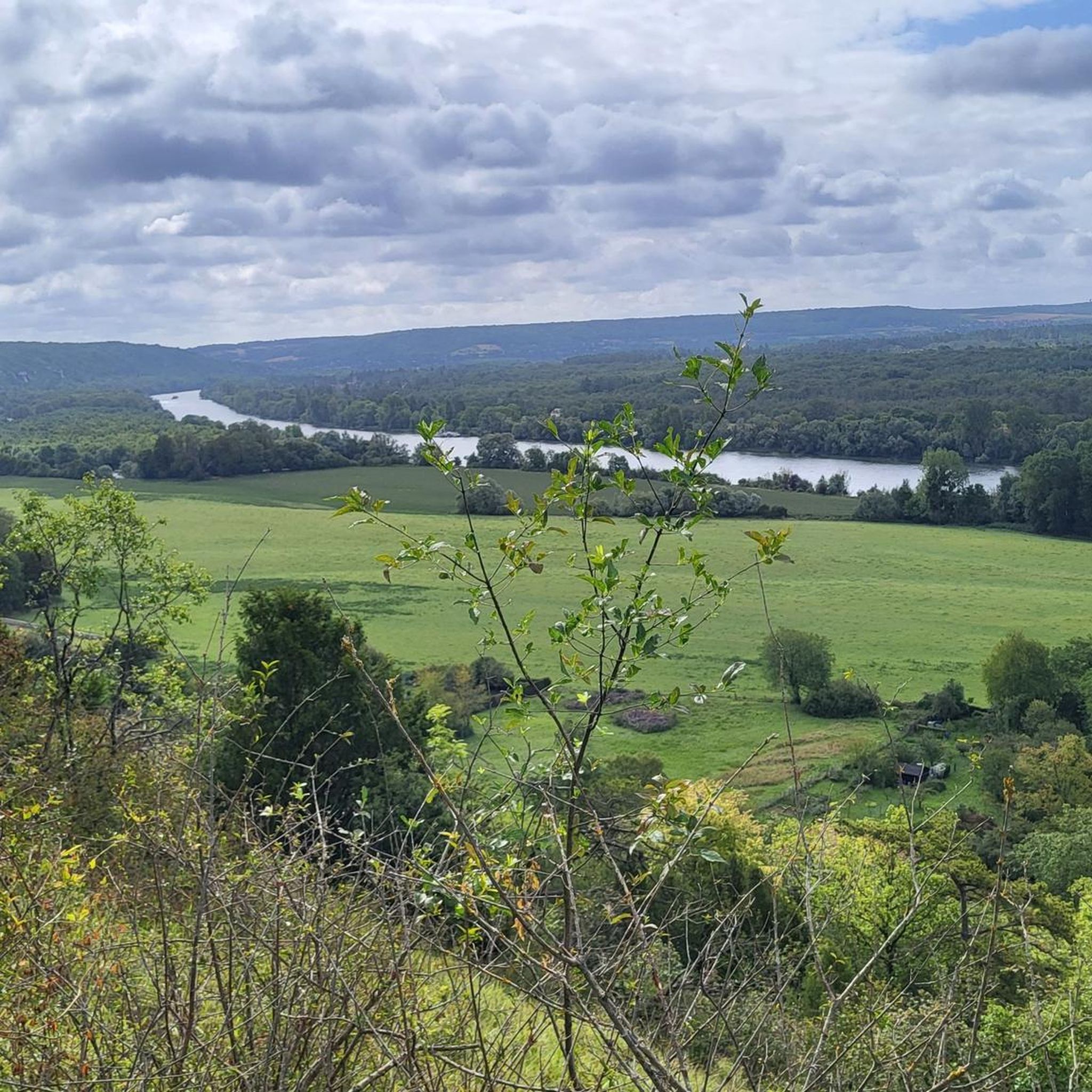
A magnificent view of the castle and a loop of the Seine
0
0

a small flea market but with lots of items
0
0
Pleasant, cool, shaded, to do during the week, not crowded! On the other hand, avoid on weekends and by bike, pedestrians don't pay attention, dogs are at granny's, children are not kept in check... etc. 28 km of flat.
0
0

Beautiful castle on the banks of the Seine
0
0
Frequently Asked Questions
How many road cycling routes are available around Bray-Et-Lû?
There are over 25 road cycling routes around Bray-Et-Lû, catering to various skill levels within the Vexin Français Regional Natural Park. These include 3 easy routes, 22 moderate routes, and 2 difficult routes.
What kind of terrain can I expect on road cycling routes in the Bray-Et-Lû area?
The region, part of the Vexin Français Regional Natural Park, features a diverse landscape. You'll encounter a limestone plateau about 100 meters high, intersected by river valleys like the Seine and Epte. Routes offer a mix of flats, false flats, and hills, traversing over 10,000 hectares of woods, forests, and expansive agricultural fields.
Are there easy road cycling routes suitable for beginners or families?
Yes, there are 3 easy road cycling routes around Bray-Et-Lû. An example is the Giverny – The Epte River loop from Bus-Saint-Rémy, an 18.1-mile (29.2 km) trail leading through river valleys and agricultural fields, often completed in about 1 hour 9 minutes.
What are some notable landmarks or viewpoints I can see along the road cycling routes?
Many routes offer scenic views and pass by significant landmarks. You can cycle past the impressive La Roche-Guyon Castle, explore the Villarceaux Estate, or admire the Cliffs of La Roche-Guyon. The region is also rich in charming villages and historical sites like the Notre-Dame Church in Vétheuil.
Are there any challenging routes for experienced road cyclists?
Yes, for experienced cyclists, there are 2 difficult routes available. The Seine view – Col de Clachaloze loop from Bus-Saint-Rémy is a challenging 71.7-mile (115.4 km) trail with significant elevation gain, offering extensive views and taking approximately 5 hours 19 minutes to complete.
What do other road cyclists enjoy most about cycling in Bray-Et-Lû?
The road cycling routes around Bray-Et-Lû are highly rated by the komoot community, with an average score of 4.1 stars from more than 10 reviews. Cyclists often praise the varied terrain, the beautiful landscapes of the Vexin Français Regional Natural Park, and the mix of flats, false flats, and hills.
Can I find circular road cycling routes in the area?
Yes, many of the routes around Bray-Et-Lû are designed as loops, allowing you to start and end your ride in the same location. For example, the Le Vieux Moulin (Vernon) – Giverny loop from Bus-Saint-Rémy is a popular moderate circular route traversing scenic areas near the Epte River.
What is the best time of year to go road cycling in Bray-Et-Lû?
The Vexin Français Regional Natural Park, where Bray-Et-Lû is located, offers pleasant cycling conditions throughout much of the year. Spring and autumn generally provide mild temperatures and beautiful scenery, while summer can be warm but still enjoyable, especially in the mornings or late afternoons. It's always advisable to check local weather forecasts before your ride.
Are there options for parking or public transport access to the cycling routes?
While specific parking details for each route vary, the region is accessible. For broader information on reaching the Vexin Français Regional Natural Park, you may find details on regional transport options. For more general information about the region, you can visit visitparisregion.com.
Are there any routes that pass by cafes or places to stop for refreshments?
Many routes in the Vexin Français Regional Natural Park pass through charming villages where you can find cafes, pubs, or local shops for refreshments. The region is known for its historic villages like Vétheuil and Villers-en-Arthies, which often offer such amenities. Planning your route with komoot allows you to identify points of interest and services along the way.
What is the average distance and elevation gain for road cycling routes in this region?
The routes vary significantly. For instance, an easy route like the Giverny – The Epte River loop covers 18.1 miles (29.2 km) with about 150 meters of elevation gain. A more challenging route, such as the Seine view – Col de Clachaloze loop, spans 71.7 miles (115.4 km) with over 1000 meters of elevation gain.
Can I combine cycling with visiting cultural attractions in the Bray-Et-Lû area?
Absolutely. The Vexin Français Regional Natural Park is rich in cultural and historical sites. You can plan routes that include stops at places like the historic Château de La Roche-Guyon, or explore charming villages known for their architectural heritage, such as washhouses, mills, and religious buildings.
Most popular routes around Bray-Et-Lû
Most popular attractions around Bray-Et-Lû

Get inspired with the komoot mobile app


Explore more
Browse the best Road cycling routes in other regions.
