The best walks and hikes around Montigny-Lès-Arsures
4.3
(939)
5,019
hikers
211
hikes
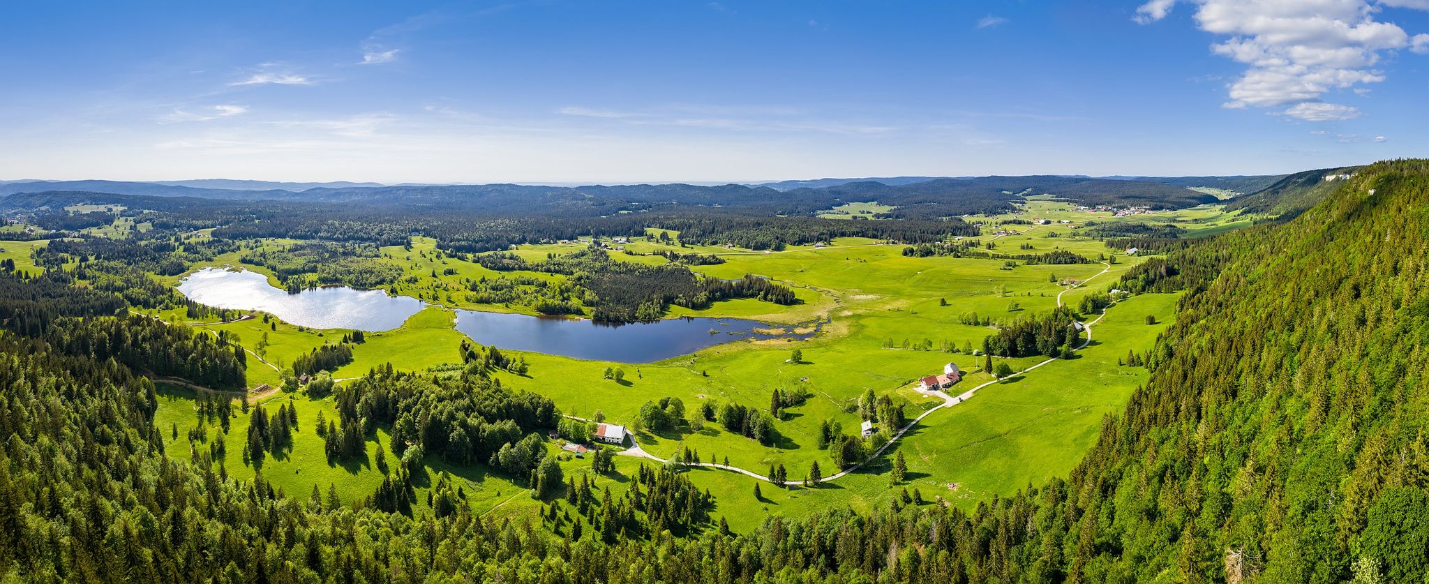
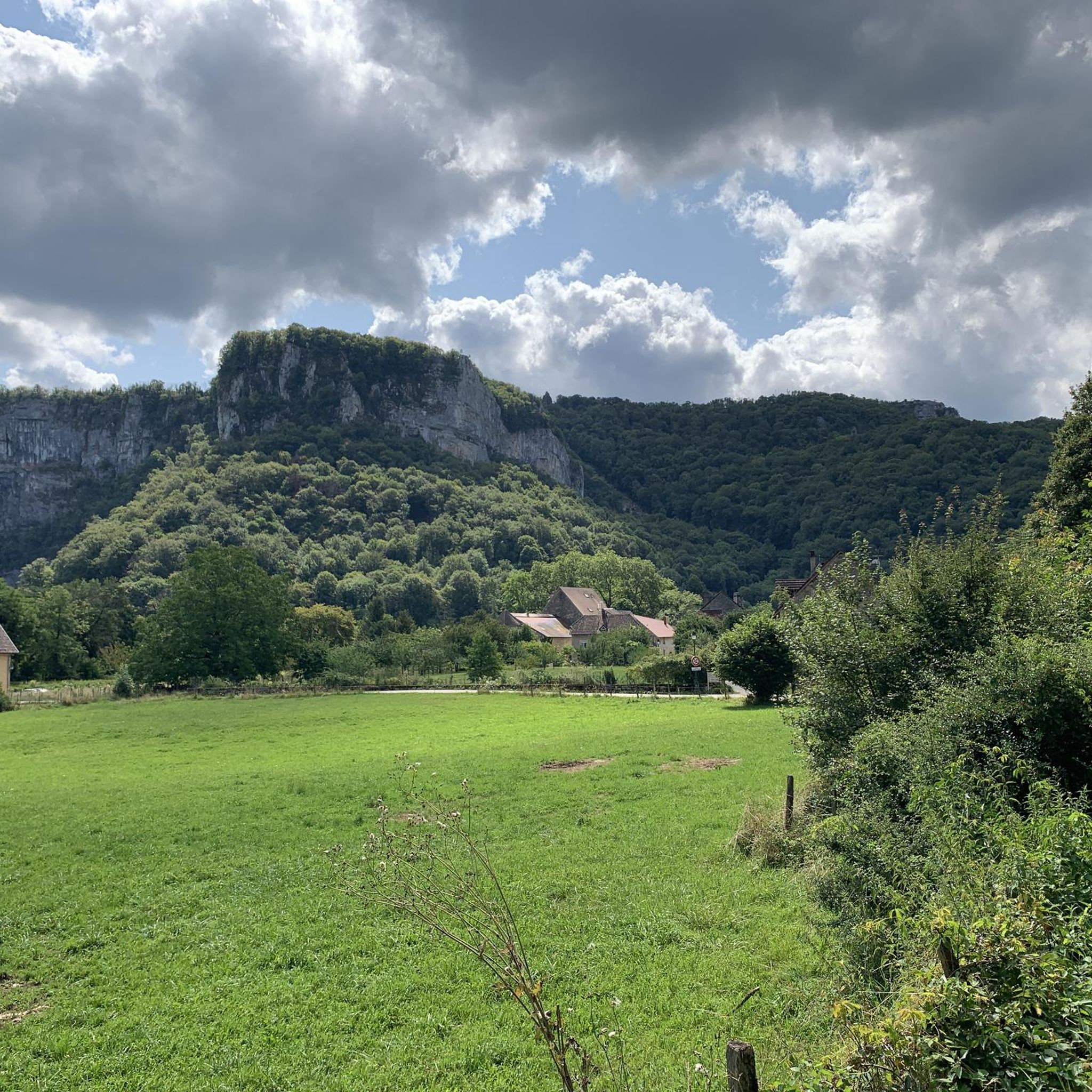
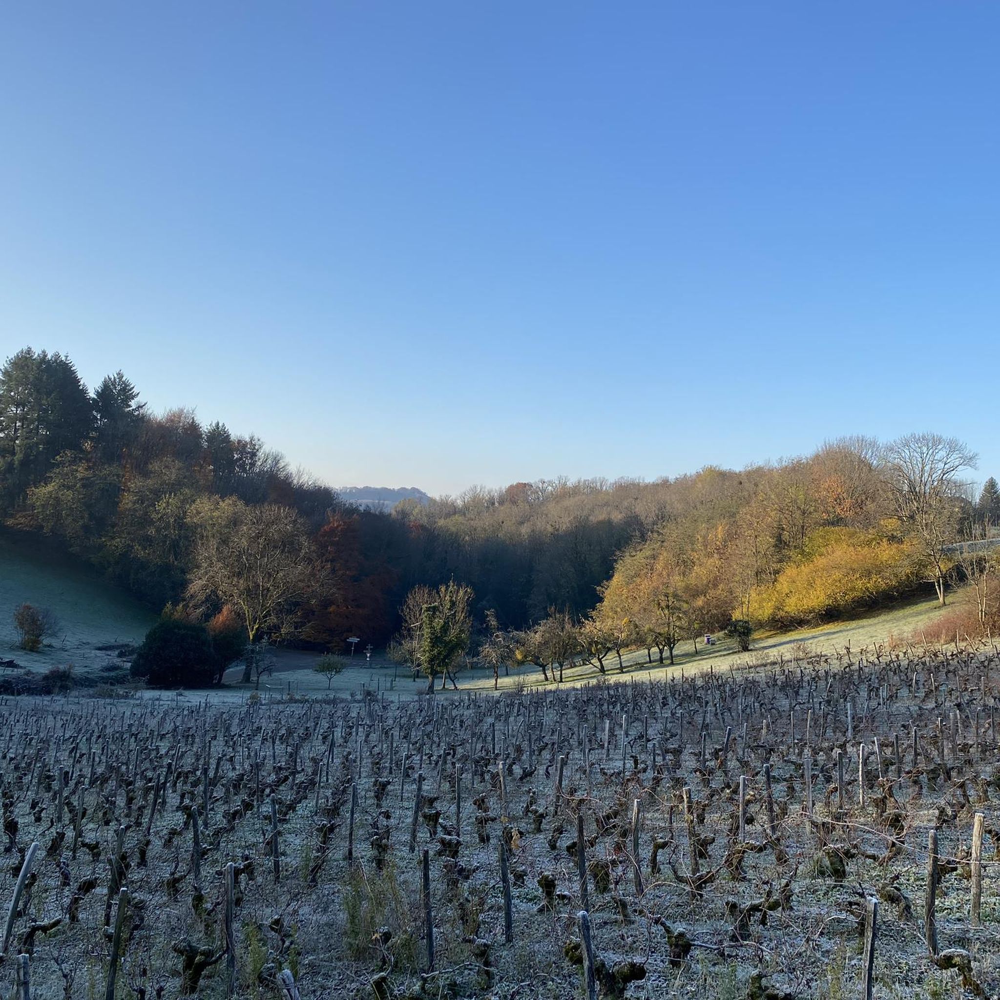
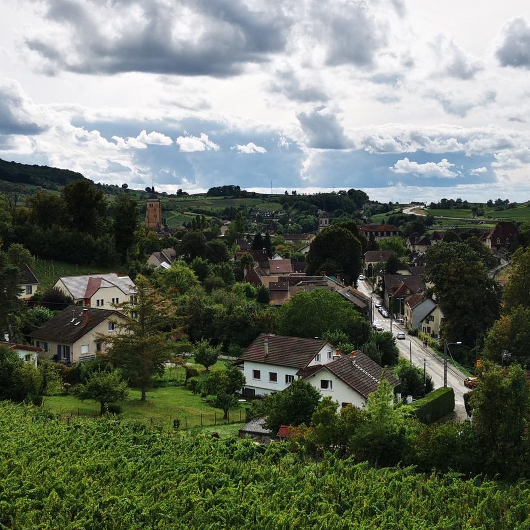
Hiking around Montigny-Lès-Arsures offers diverse landscapes, characterized by rolling vineyards and extensive forests. The region features dramatic plateaus and steephead valleys, including the notable Reculée des Planches-Près-Arbois, which provides views over the Arbois vineyard. Geological highlights like the Cascades des Tufs add to the varied terrain, making it suitable for a range of outdoor activities.
Best hiking trails around Montigny-Lès-Arsures
- The most popular hiking route is Fer à Cheval Viewpoint – Tuff Waterfalls loop from Arbois, a difficult 12.1…
Last updated: May 25, 2026
4.7
(83)
381
hikers
19.5km
05:34
390m
390m
Hard hike. Very good fitness required. Easily-accessible paths. Suitable for all skill levels.
4.3
(31)
137
hikers
17.2km
04:58
400m
400m
Moderate hike. Good fitness required. Easily-accessible paths. Suitable for all skill levels.

Sign up for free
20
hikers
16.1km
04:36
380m
380m
Moderate hike. Good fitness required. Easily-accessible paths. Suitable for all skill levels.
4.5
(37)
162
hikers
12.6km
03:26
150m
150m
Hard hike. Good fitness required. Sure-footedness, sturdy shoes and alpine experience required.
3.7
(3)
12
hikers
8.98km
02:35
210m
210m
Moderate hike. Good fitness required. Easily-accessible paths. Suitable for all skill levels.
Get access to more routes and recommendations from other explorers.
Sign up for free
Already have an account?
Our route recommendations are based on thousands of hikes, rides, and runs completed by other people on komoot.
Start today with a free account
Your next adventure awaits.
Login or Signup
Popular around Montigny-Lès-Arsures


Other adventures around Montigny-Lès-Arsures

Tips from the Community

Meanwhile, there are QR codes in various places to get information. Still worth a detour
0
0

Center of Arbois around the Place da la Liberté with fountains, arcades and roundabout.
6
0
Old bridge Pont de Capucins over the Cuisance.
6
0
Church from the 12th century in Romanesque-Gothic style.
2
0
Pelican statue in front of the Église Saint Just with information panel about its significance.
6
0
A natural hiking trail along the Cuisance River. This path is flooded during high water.
5
0
Source of the Cuissance River with a dam. The amount of water flowing from the source is impressive, so much so that smaller waterfalls have formed immediately afterward.
6
0
Frequently Asked Questions
How many hiking trails are available around Montigny-Lès-Arsures?
There are over 200 hiking routes in the Montigny-Lès-Arsures area. This includes 87 easy trails, 100 moderate routes, and 24 more challenging hikes, offering options for all experience levels.
What kind of landscapes can I expect to see while hiking in Montigny-Lès-Arsures?
You will encounter diverse landscapes, from rolling vineyards, especially around the Arbois vineyard, to extensive forests covering a significant portion of the commune. The region also features dramatic plateaus and blind valleys, such as the Reculée des Planches-Près-Arbois, offering breathtaking vistas.
Are there any waterfalls to see on hikes near Montigny-Lès-Arsures?
Yes, the magnificent Tuff Waterfalls near Les Planches-près-Arbois are a significant natural attraction. Several routes, like the Fer à Cheval Viewpoint – Tuff Waterfalls loop from Arbois, pass by them.
Are there good viewpoints in the area?
Absolutely. The region is known for its stunning vistas. Notable viewpoints include the Fer à Cheval Viewpoint, the belvédère de la roche du Feu overlooking the Reculée des Planches-Près-Arbois, and the picturesque Croix de Poupet. The Tour du Zouave Coco also provides excellent views over the Arbois vineyard.
Are there family-friendly hiking options in Montigny-Lès-Arsures?
Yes, many of the 87 easy trails are suitable for families. These often include leisurely walks through vineyards and forests, providing accessible options for all ages to enjoy the natural beauty of the Jura.
Can I bring my dog on the trails?
Most trails in the Montigny-Lès-Arsures area are dog-friendly, but it's always recommended to keep your dog on a leash, especially when passing through vineyards, near livestock, or in protected natural areas. Always carry water for your pet.
What is the best time of year to go hiking in Montigny-Lès-Arsures?
Spring and autumn are ideal for hiking, offering pleasant temperatures and vibrant scenery. Spring brings blooming wildflowers and lush greenery, while autumn showcases the stunning colors of the vineyards. Summer is also popular, but trails can be busier and temperatures higher, especially in open vineyard areas.
Are there any historical or architectural sights along the trails?
Yes, hiking routes often incorporate historical landmarks. You might encounter the impressive 28-meter high curved Viaduc de Montigny-les-Arsures, traversed by the famous 'ligne des hirondelles.' The picturesque Tour du Zouave Coco, dating from 1870, also offers historical interest and great views.
What do other hikers enjoy most about hiking in Montigny-Lès-Arsures?
The area is highly rated by the komoot community, with an average score of 4.3 stars from over 970 reviews. Hikers often praise the diverse terrain, from scenic vineyard paths to tranquil forest trails, and the stunning geological features like the reculées and waterfalls.
Are there any long-distance hiking routes that pass through Montigny-Lès-Arsures?
Montigny-Lès-Arsures is an integral part of the Échappée Jurassienne, a major Franco-Swiss hiking route that traverses the Jura massif. More challenging routes, such as a 28.05 km stage of the Francigena route, also showcase varied landscapes including meadows, forests, villages, and vineyards.
Where can I find parking for hiking trails?
Parking is generally available in and around Montigny-Lès-Arsures and nearby villages like Arbois, often near trailheads or village centers. Specific parking information can usually be found on individual route descriptions.
Can I reach hiking trails using public transport?
While public transport options might be limited directly to all trailheads, the village of Montigny-Lès-Arsures and nearby Arbois are accessible by regional transport. It's advisable to check local bus or train schedules for connections to the starting points of your chosen hikes.
Most popular routes around Montigny-Lès-Arsures
Most popular attractions around Montigny-Lès-Arsures

Get inspired with the komoot mobile app


Explore more
Browse the best Hikes in other regions.
