The best walks and hikes around Pont-D'Héry
4.3
(948)
5,105
hikers
114
hikes
Hiking around Pont-D'Héry offers diverse natural landscapes within the Jura department of Bourgogne-Franche-Comté. The region is characterized by varied terrain, including impressive limestone cliffs, deep reculées, and extensive forested areas like the Forêt des Moidons. Elevations range from approximately 430 to 781 meters, providing a mix of ascents and descents across its trails. Natural features such as waterfalls and springs are common, adding to the scenic appeal for hikers.
Best hiking trails around Pont-D'Héry
- The most popular hiking route is…
Last updated: May 12, 2026
4.6
(25)
137
hikers
15.4km
04:50
590m
580m
Moderate hike. Good fitness required. Easily-accessible paths. Suitable for all skill levels.
4.1
(14)
84
hikers
4.36km
01:31
240m
240m
Easy hike. Great for any fitness level. Easily-accessible paths. Suitable for all skill levels.

Sign up for free
4.9
(9)
58
hikers
14.3km
04:34
580m
580m
Moderate hike. Good fitness required. Easily-accessible paths. Suitable for all skill levels.
4.0
(3)
31
hikers
11.1km
03:34
450m
450m
Moderate hike. Good fitness required. Easily-accessible paths. Suitable for all skill levels.
4.5
(4)
33
hikers
4.78km
01:43
260m
260m
Easy hike. Great for any fitness level. Easily-accessible paths. Suitable for all skill levels.
Get access to more routes and recommendations from other explorers.
Sign up for free
Already have an account?
Our route recommendations are based on thousands of hikes, rides, and runs completed by other people on komoot.
Start today with a free account
Your next adventure awaits.
Login or Signup

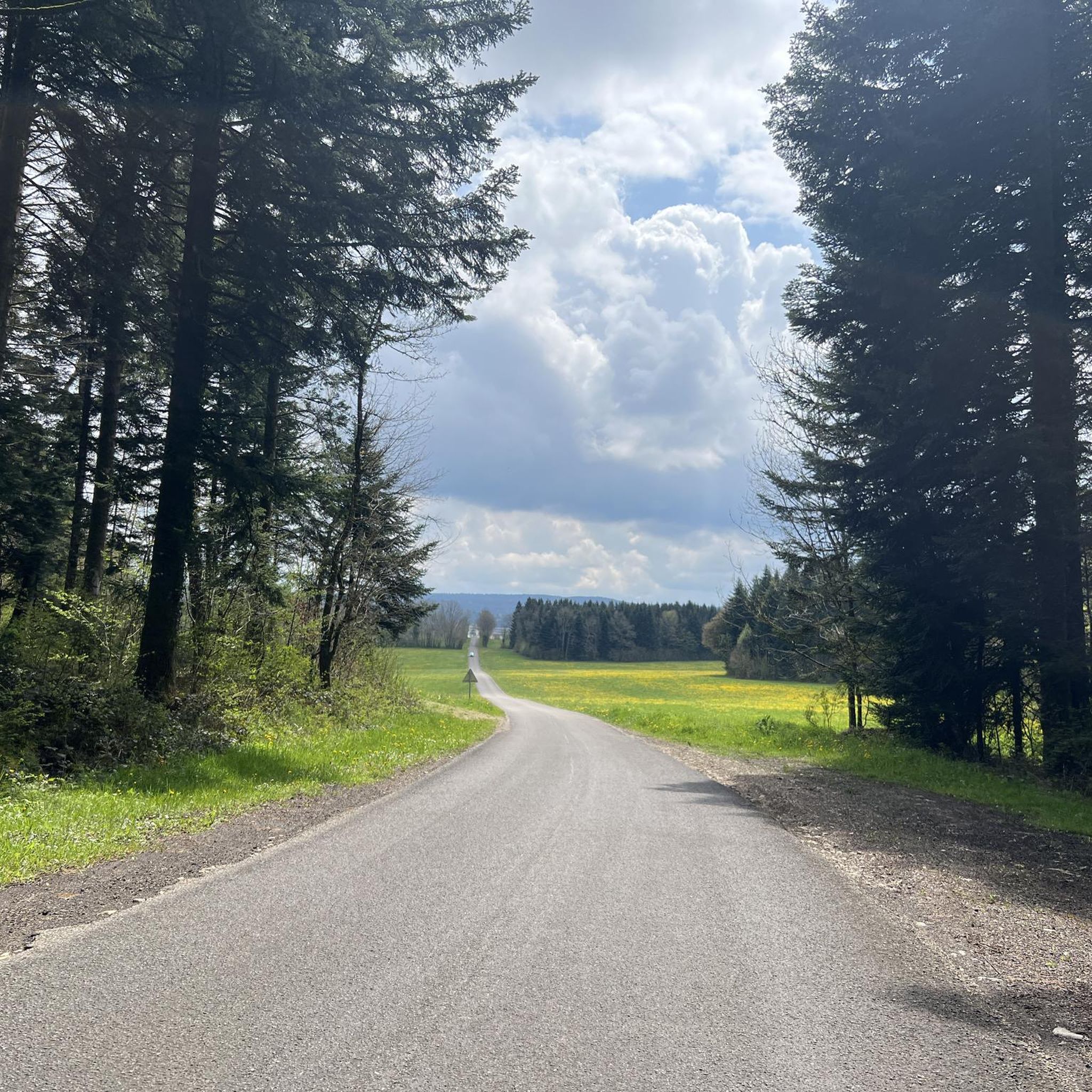
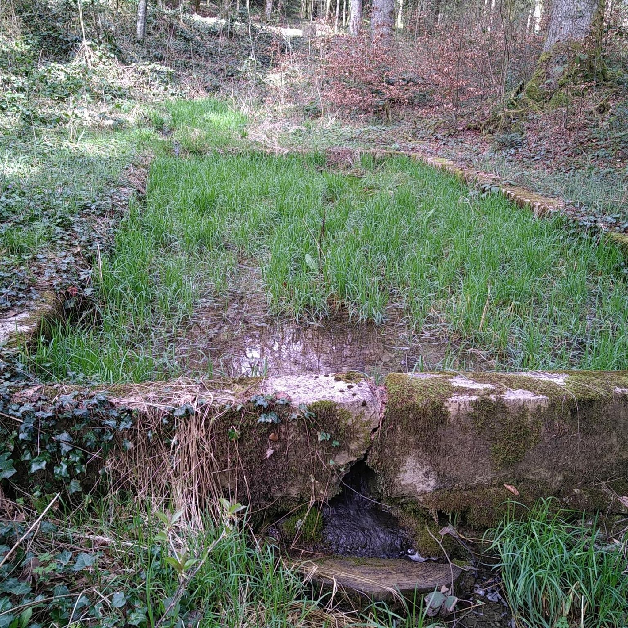
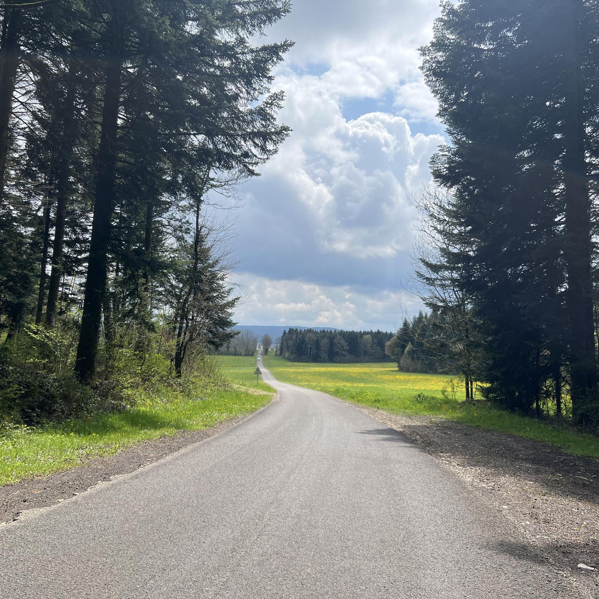
Tips from the Community

The fortifications at this site have undergone many changes. In the Middle Ages, there was a castle on this site, Chastel Belin, which was apparently destroyed in the 17th century. From 1674, Vauban had the Château Belin built with further fortifications, which were, however, razed to the ground by the Austrians at the beginning of the 19th century and rebuilt in 1828. In 1871, during the Franco-Prussian War, the city capitulated to a numerically superior enemy, but the Belin and Saint-André forts did not surrender and held the strategically important position. Today it is privately owned and is apparently being renovated.
2
0
According to the memorial stone, a fighter plane crashed here in 1945.
1
0
In a rural setting, the Saint-Joseph chapel with its lava-covered roof is located within the territory of the commune of Salins-les-Bains even if it is right next to the hamlet of La Chaux-sur-Clucy.
1
0
Iconic 17th century chapel built following a vow made by the population to thank the Virgin Mary for protecting the inhabitants from epidemics and during the Thirty Years' War. It has an oval plan and is surmounted by a recently renovated dome with glazed roof tiles, a lantern tower and a bell tower. https://www.coeurdujura-tourisme.com/
1
0
The ascent to the cross is car-friendly and has steps. The GR59 may have been rerouted in the meantime, but a detour here is definitely justified. The paths on Mt Poupet are well signposted and the summit cross is highly recommended.
2
0
The views are particularly wonderful at the many paraglider take-off points on Mont Poupet. However, the location of this highlight is surrounded by dense forest and an antenna, so visiting this point is only worthwhile if you follow the path a little further north.
1
0

This Collegiate Church will surprise you with its splendor and the view it offers over the roofs of Salins-les-Bains.
0
0

It is very interesting to visit the saltworks. The underground part of the tour is only possible with a guide. It is best to be there early in the morning for the sightseeing, otherwise there will be too many people there. The saltworks is a world cultural heritage site.
3
0
Frequently Asked Questions
How many hiking trails are available around Pont-D'Héry?
There are over 100 hiking routes around Pont-D'Héry, offering a wide range of options for different skill levels. These trails explore the diverse natural landscapes of the Jura department, from forested paths to dramatic reculées.
What kind of terrain can I expect on hikes near Pont-D'Héry?
The terrain around Pont-D'Héry is quite varied, featuring elevations from 430 to 781 meters. You'll encounter impressive limestone cliffs, deep reculées, extensive forested areas like the Forêt des Moidons, and even karstic paths with unique rock formations. Many routes also include picturesque waterfalls and springs.
Are there any easy or beginner-friendly hikes in the Pont-D'Héry area?
Yes, Pont-D'Héry offers a good selection of easy hikes suitable for beginners. For example, the Fort Saint-André and Croix de Pretin Trail is an easy 4.4 km path that explores historical sites and offers pleasant views. In total, there are 43 easy routes available.
What are some notable natural attractions or viewpoints to see while hiking?
The region is rich in natural wonders and viewpoints. You can explore the impressive Fer à Cheval Viewpoint, which offers panoramic views of the Reculée d'Arbois. Other highlights include the beautiful Tuff Waterfalls, the dramatic Cirque du Fer à Cheval, and the mysterious Grotte de Saint-Bilbalbo. The Source du Lison and Pont du Diable are also popular natural features.
Are there any circular hiking routes around Pont-D'Héry?
Yes, many of the trails around Pont-D'Héry are circular, allowing you to start and end at the same point. An example is the Fort Belin – Salins-les-Bains loop from Salins-les-Bains, which is an 14.3 km trail through forested areas and past historical fortifications.
Can I bring my dog on the hiking trails near Pont-D'Héry?
Many trails in the Pont-D'Héry region are dog-friendly, allowing you to enjoy the natural beauty with your canine companion. It's always recommended to keep dogs on a leash, especially in nature reserves or areas with livestock, and to check specific trail regulations before you go.
What is the best time of year to go hiking in Pont-D'Héry?
The best time for hiking in Pont-D'Héry is typically from spring through autumn (April to October) when the weather is mild and the natural landscapes are at their most vibrant. Spring brings lush greenery and flowing waterfalls, while autumn offers beautiful foliage. Winter hikes are also possible, especially in the extensive forests, but require appropriate gear for potentially snowy or icy conditions.
Are there any family-friendly hiking options in the area?
Yes, the region offers several family-friendly hikes. Many of the easier routes, particularly those through the extensive forests or around less challenging natural features, are suitable for families with children. Look for shorter, less strenuous paths that allow for exploration without excessive difficulty.
What do other hikers enjoy most about hiking in Pont-D'Héry?
The hiking experience around Pont-D'Héry is highly rated by the komoot community, with an average score of 4.3 stars from over 900 reviews. Hikers often praise the diverse natural scenery, including the dramatic reculées, dense forests, and picturesque waterfalls. The variety of routes catering to all ability levels is also frequently highlighted.
Are there any historical sites or cultural attractions accessible via hiking trails?
Yes, some hiking routes in the area blend natural exploration with historical discovery. For instance, the Fort Saint-André and Croix de Pretin Trail passes by historical sites. You can also find trails that lead past the Ruins of the Château de La Châtelaine or explore the fortified town of Salins-les-Bains, which often serves as a starting point for hikes.
Is public transport available to reach hiking trailheads near Pont-D'Héry?
While specific public transport options directly to every trailhead might be limited, the nearby town of Salins-les-Bains can serve as a hub. From there, you might find local bus services or taxis to reach various starting points. It's advisable to check local transport schedules in advance for the most up-to-date information.
Are there challenging hikes for experienced hikers in the region?
Absolutely. For experienced hikers seeking a challenge, Pont-D'Héry offers 14 difficult routes. These trails often feature significant elevation gains and longer distances, such as the Salins-les-Bains and Mont Poupet Trail, a moderate 15.4 km route with nearly 600 meters of ascent, providing panoramic views of the Jura mountains.
Most popular attractions around Pont-D'Héry

Get inspired with the komoot mobile app


Explore more
Browse the best Hikes in other regions.
