The best running trails around Saint-Bonnet-Des-Quarts
4.2
(34)
1,629
runners
213
runs
Jogging routes around Saint-Bonnet-Des-Quarts traverse a rural and heavily wooded commune in the Loire department, part of the Auvergne Rhône-Alpes region. The area features diverse topography, with altitudes ranging from 400 to 950 meters, offering both gentle paths along rivers and more strenuous climbs on mountain ridges. Extensive networks of well-maintained trails, often through forests and deciduous woods, provide varied terrain for running. This region is characterized by its authentic green landscapes and numerous outdoor activity options.
Best jogging routes…
Last updated: July 2, 2026
12
runners
12.6km
01:30
300m
300m
Moderate run. Good fitness required. Mostly paved surfaces. Suitable for all skill levels.
12
runners
6.73km
00:46
170m
170m
Moderate run. Good fitness required. Mostly paved surfaces. Suitable for all skill levels.

Sign up for free
3.0
(1)
6
runners
12.5km
01:40
520m
520m
Hard run. Very good fitness required. Mostly paved surfaces. Suitable for all skill levels.
5.0
(1)
5
runners
21.1km
02:44
630m
640m
Hard run. Very good fitness required. Mostly paved surfaces. Suitable for all skill levels.
4
runners
7.82km
00:57
210m
220m
Moderate run. Good fitness required. Mostly paved surfaces. Suitable for all skill levels.
Get access to more routes and recommendations from other explorers.
Sign up for free
Already have an account?
Our route recommendations are based on thousands of hikes, rides, and runs completed by other people on komoot.
Start today with a free account
Your next adventure awaits.
Login or Signup
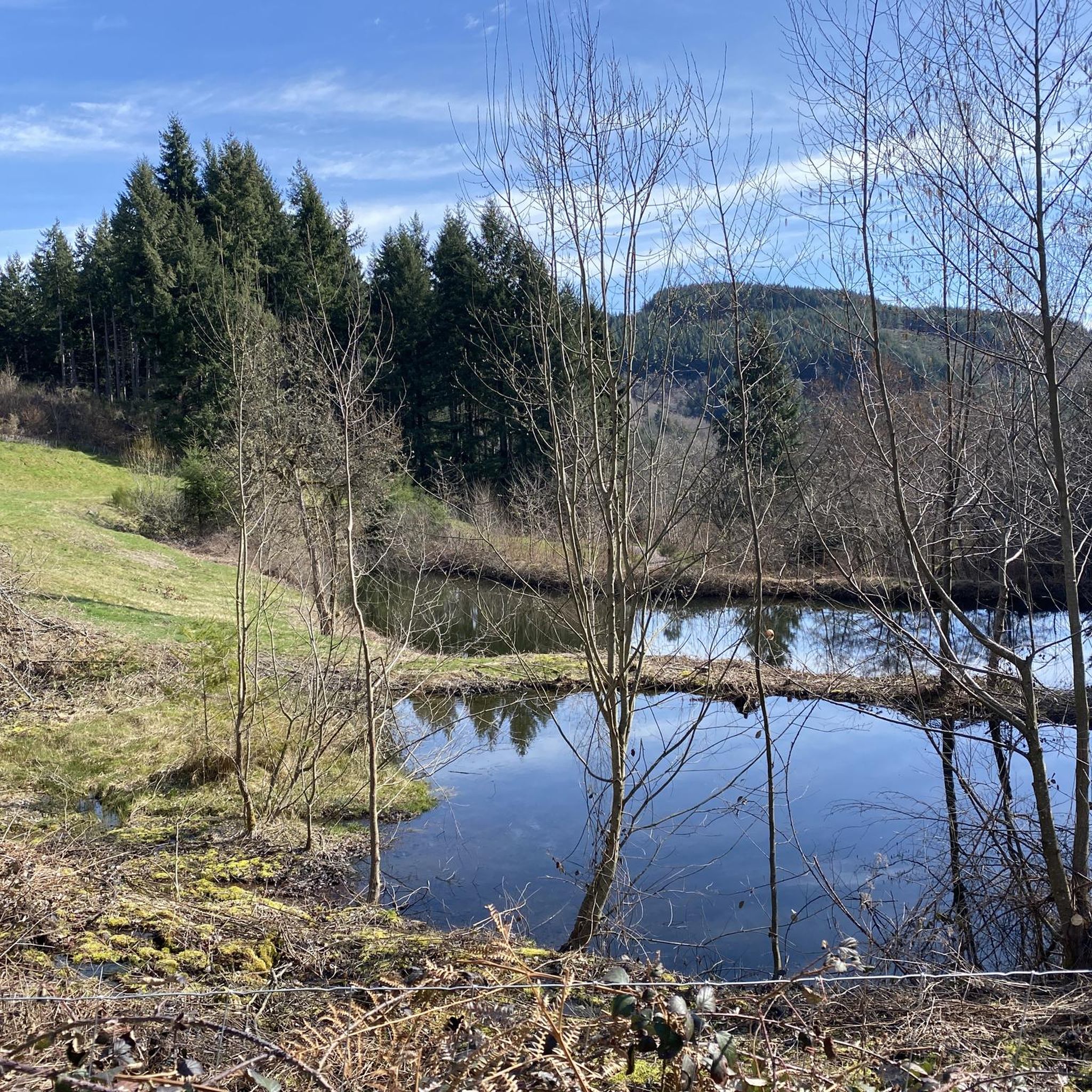
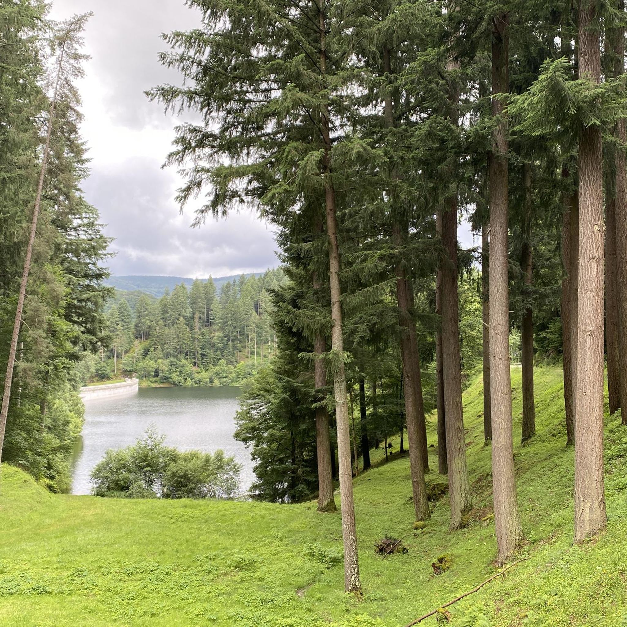
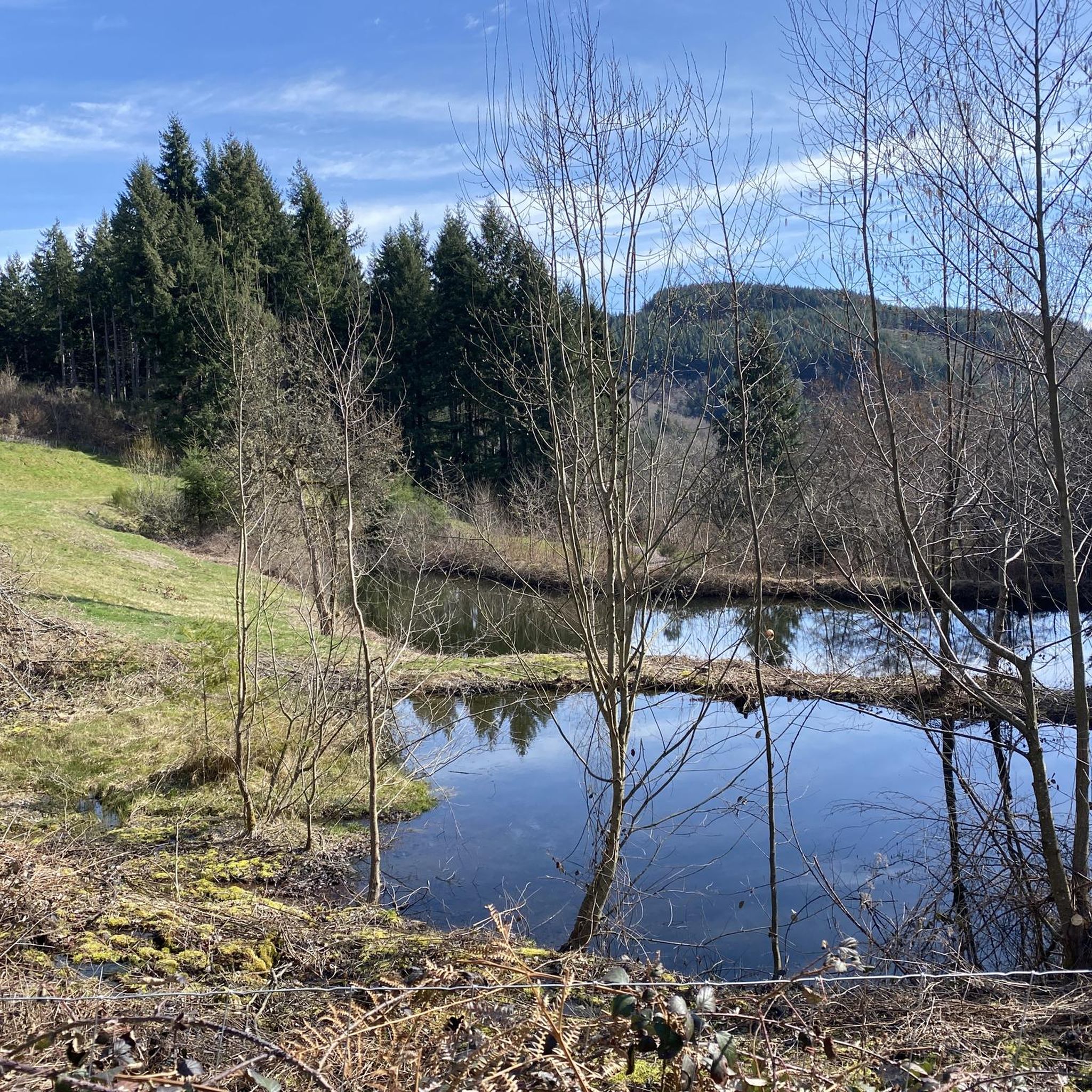
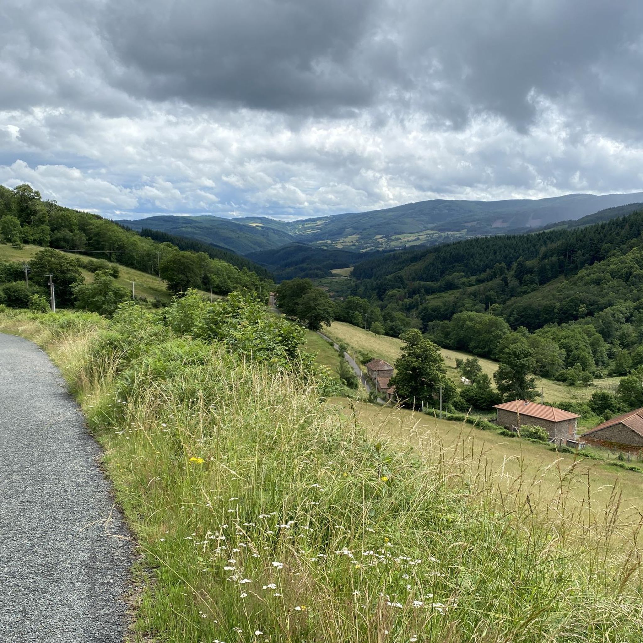

Tips from the Community


The Glassworks Plateau is located at an altitude of 1,015 meters. It is a large open plateau in the Magdalen Mountains. The landscape is wild and relatively unspoiled.
0
0

If you are looking for a hiking adventure in a unique and wild landscape, you should visit the Verrerie plateau, a natural site protected by Natura 2000. This plateau is the last open moor of the Monts de la Madeleine, and it is home to rare and diverse flora and fauna in its bog, which dates back to 4600 BC. A wooden walkway will allow you to enter the protected area without harming the environment. From this plateau, you will have a breathtaking view of the Roannais, the Alps and the Auvergne. In the past, glassmakers burned all the beech trees to melt the silica. The Plateau de la Verrerie is a place where nature and history meet, and where you can experience a different hike.
4
0
The Col La Rivière Noire from Les Villards is 14.19km long with a total drop of 631m. The average gradient is 4.45% with maximum gradients of 7%.
1
0
The Col de la Croix du Sud from Saint-Bonnet-des-Quarts is 12 kilometers long with a total elevation gain of 398 meters. The average gradient is 3% with maximum gradients of 6%.
3
0

Le Crozet is a medieval city which houses houses from the 13th to the 16th century. This characterful village has retained its fortifications and a mix of stone buildings, flower-decked houses and the large arched doorway built in 1236.
1
0
Frequently Asked Questions
How many jogging routes are available in Saint-Bonnet-Des-Quarts?
Saint-Bonnet-Des-Quarts offers a wide selection of running routes, with over 190 options available. These routes cater to various fitness levels, including 7 easy, 97 moderate, and 92 difficult trails, ensuring there's something for every runner.
What kind of terrain can I expect on the running trails in Saint-Bonnet-Des-Quarts?
The terrain in Saint-Bonnet-Des-Quarts is incredibly diverse, ranging from 400 to 950 meters in altitude. You'll find gentle paths along charming rivers, as well as more strenuous climbs on mountain ridges. The area is heavily wooded with extensive networks of trails through forests and deciduous woods, providing a scenic and refreshing environment for your run.
Are there any running routes with panoramic views?
Yes, many running routes in Saint-Bonnet-Des-Quarts offer breathtaking panoramic views. Trails on the ridges provide stunning vistas across the plains of the Loire or Allier, with distant views reaching Mont-Blanc and the Chaîne des Puys. The Col de la Rivière Noire – Plateau de la Verrerie loop from Saint-Rirand, for instance, includes sections through the Natura 2000 protected Plateau de la Verrerie, known for its expansive views of the Roannais, the Alps, and Auvergne.
Can I find running routes that pass by waterfalls?
Yes, you can discover routes that lead to natural attractions like waterfalls. The Pisserotte Waterfall is a notable highlight in the region, and some trails will take you close to this beautiful natural feature, offering a refreshing stop during your run.
What do other runners enjoy most about jogging in Saint-Bonnet-Des-Quarts?
The running routes in Saint-Bonnet-Des-Quarts are highly rated by the komoot community, with an average score of 4.4 stars from over 30 reviews. Runners often praise the heavily wooded paths, the diverse topography with hills and ridges, and the routes along rivers. The variety of options for different ability levels, from moderate loops to challenging long-distance runs, is also frequently highlighted.
Are there any historical or cultural sights along the running paths?
Beyond the natural beauty, you might encounter charming local attractions that add a cultural touch to your run. The region features old washhouses (lavoirs) and glimpses of nearby heritage villages with ancient fortifications and Romanesque churches, such as Saint-Haon-Le-Châtel. These offer interesting points of interest along your journey.
Are there family-friendly jogging routes in Saint-Bonnet-Des-Quarts?
While specific 'family-friendly' designations aren't always explicit, the region offers several easy and moderate routes that are suitable for families. The 'Circuit 15 bleu' (7 km, easy) which explores the Teyssonne valley, is a good example of a less strenuous option. Always check the route's difficulty and length to ensure it matches your family's capabilities.
Are the running trails in Saint-Bonnet-Des-Quarts dog-friendly?
Many of the extensive network of hiking trails, which are also used for jogging, are generally dog-friendly. Given the rural and heavily wooded nature of Saint-Bonnet-Des-Quarts, it's common for locals to enjoy these paths with their dogs. However, it's always advisable to keep your dog on a leash, especially in areas with wildlife or near livestock, and to respect local regulations.
Are there circular running routes available in the area?
Yes, many of the running routes around Saint-Bonnet-Des-Quarts are designed as circular loops, offering convenient starting and ending points. Examples include the popular Le Crozet loop from Le Crozet and the more challenging Bécajat – Col de la Croix du Sud loop from Saint-Bonnet-des-Quarts.
What is the best time of year to go running in Saint-Bonnet-Des-Quarts?
Saint-Bonnet-Des-Quarts is an excellent destination for outdoor activities throughout much of the year. The prevalence of forests and deciduous woods provides shade in warmer months, while the diverse topography offers varied scenery in spring and autumn. For specific seasonal considerations, it's always good to check local weather forecasts, especially for higher altitude routes.
Are there routes suitable for experienced runners looking for a challenge?
Absolutely. For experienced runners seeking a challenge, Saint-Bonnet-Des-Quarts offers several difficult routes with significant elevation gain. The Bécajat – Col de la Croix du Sud loop from Saint-Bonnet-des-Quarts is a 21.1 km trail with substantial climbing. Additionally, the 'Circuit 6 noir' is a formidable 21.5 km route mentioned in local guides, perfect for very experienced runners.
What kind of natural sites can I explore while running?
The region is rich in natural sites. A significant attraction is the Plateau de la Verrerie, a Natura 2000 protected site featuring the last open moor of the Monts de la Madeleine and an ancient bog. A wooden walkway allows exploration of this unique landscape. You'll also run through extensive forests, along rivers like the Teyssonne, and across ridges offering expansive views.
Most popular routes around Saint-Bonnet-Des-Quarts
Most popular attractions around Saint-Bonnet-Des-Quarts

Get inspired with the komoot mobile app


Explore more
Browse the best Running Trails & Routes in other regions.
