The best walks and hikes around La Tuilière
4.6
(383)
1,897
hikers
159
hikes
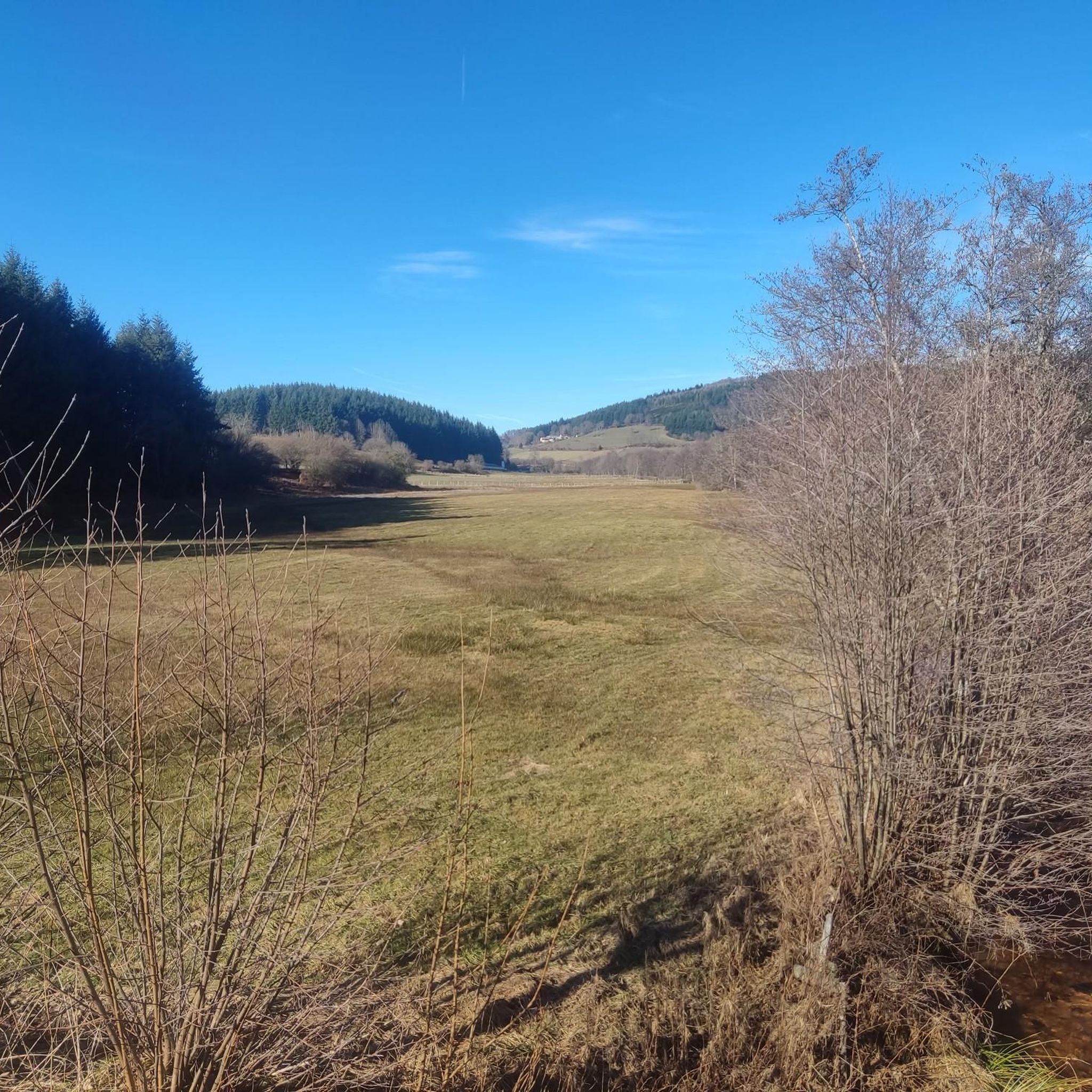
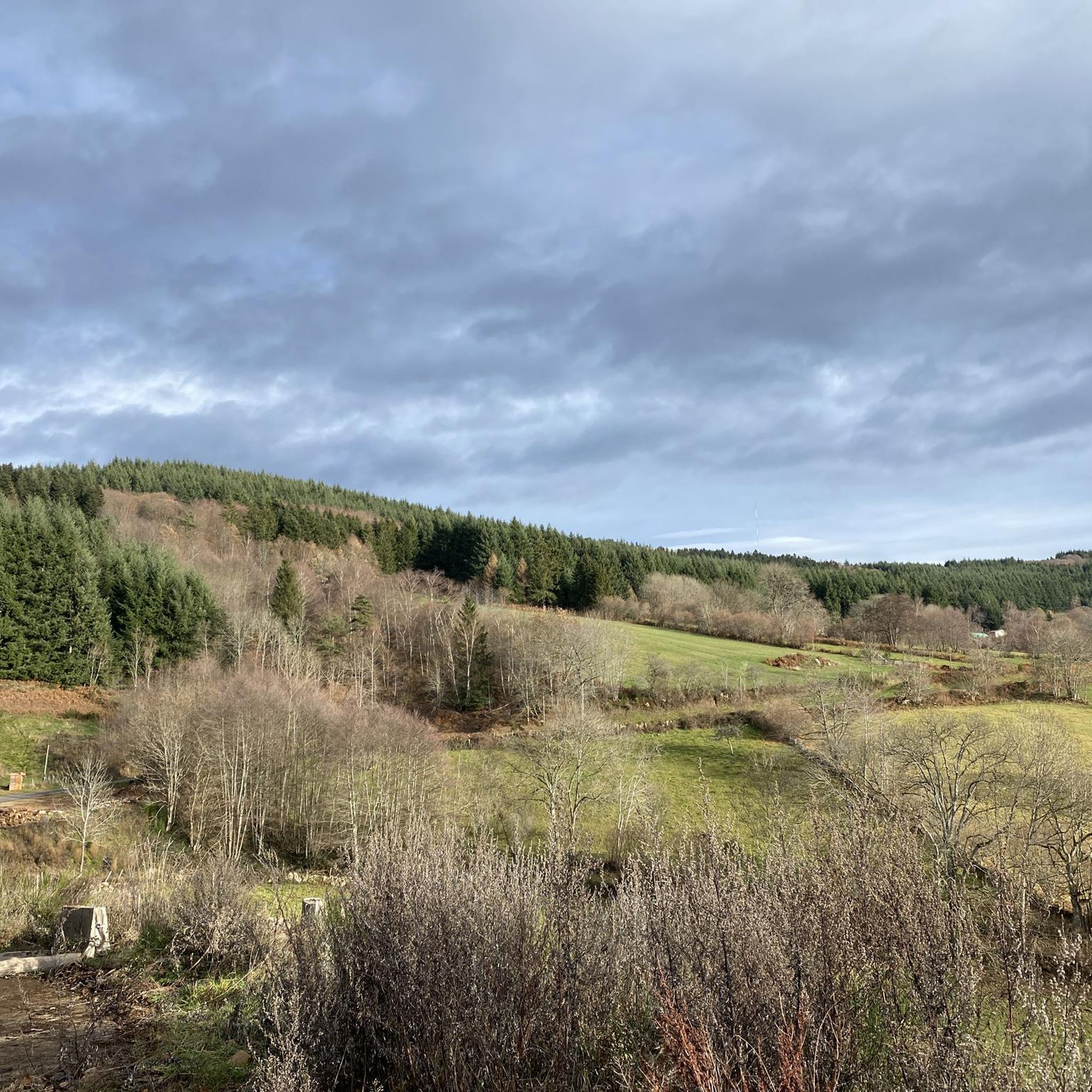
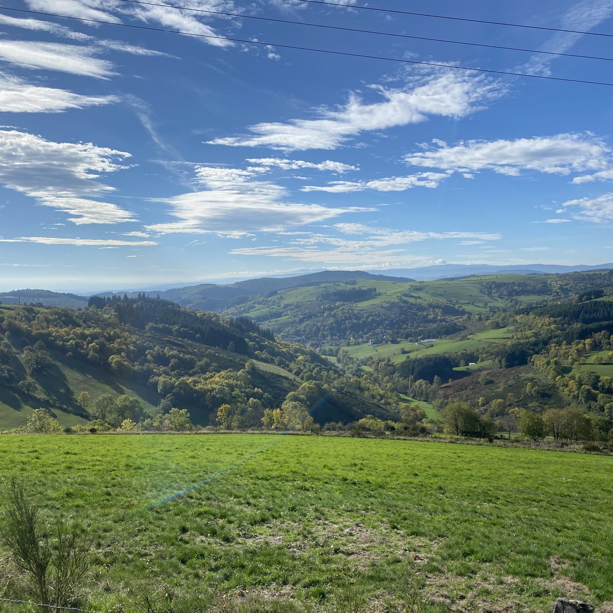
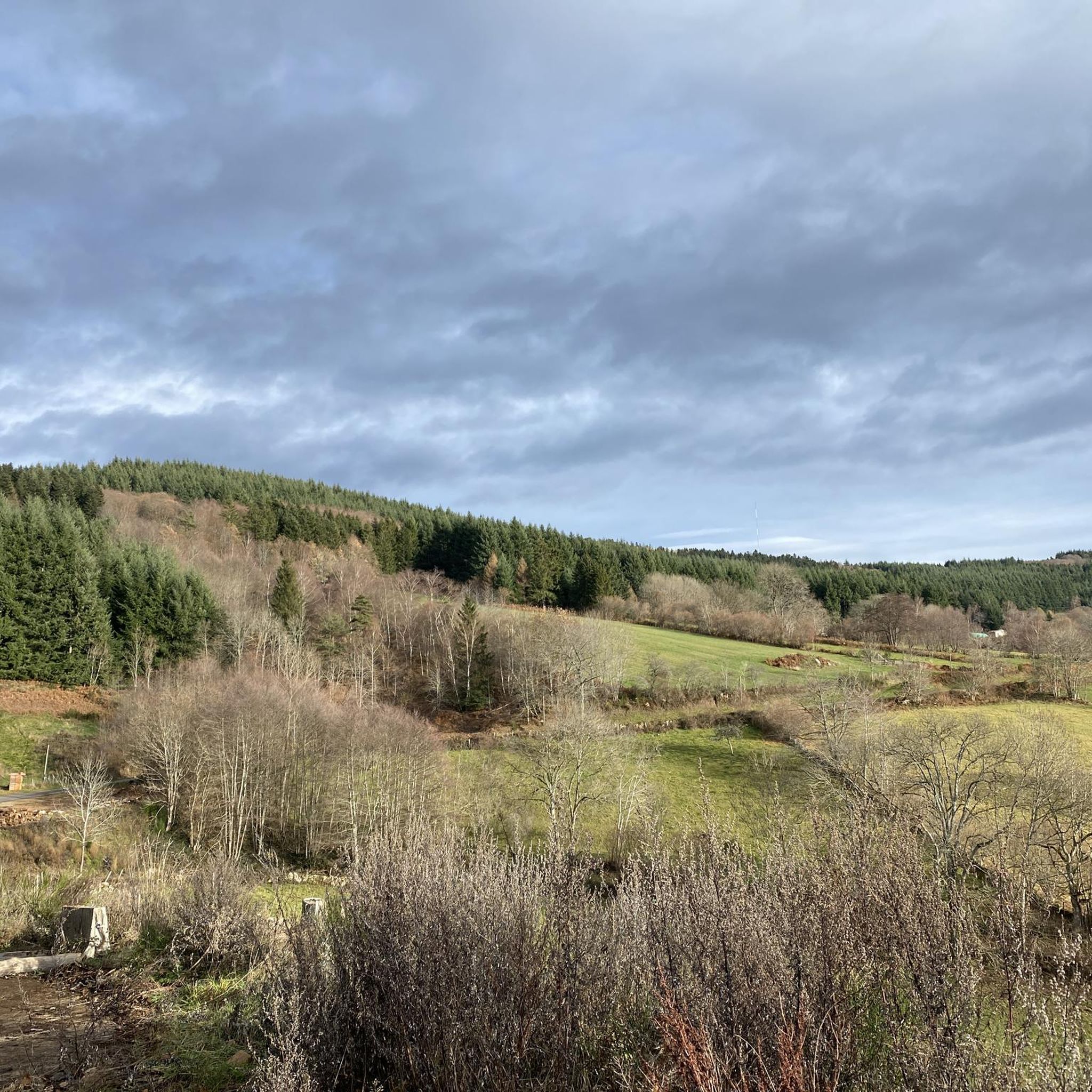
Hiking around La Tuilière offers diverse landscapes across different regions of France. In the Loire region, near Arcon and La Chabanne, trails navigate ancient beech forests, rocky escarpments, and high-altitude woodlands. The area features unique natural formations like the Allée des Hêtres Tortueux and panoramic viewpoints such as La Pierre Châtel. Further south, in Alpes-de-Haute-Provence, routes provide expansive vistas and historical attractions.
Best hiking trails around La Tuilière
- The most popular hiking route is Allée des hêtres tortueux – Col…
Last updated: July 4, 2026
4.5
(2)
27
hikers
Hard hike. Very good fitness required. Sure-footedness, sturdy shoes and alpine experience required.
4.6
(7)
22
hikers
Moderate hike. Good fitness required. Easily-accessible paths. Suitable for all skill levels.

Sign up for free
4.6
(5)
15
hikers
7.83km
02:13
180m
180m
Moderate hike. Good fitness required. Easily-accessible paths. Suitable for all skill levels.
5.0
(1)
16
hikers
13.9km
04:05
400m
390m
Moderate hike. Good fitness required. Easily-accessible paths. Suitable for all skill levels.
3.3
(3)
13
hikers
5.05km
01:24
100m
100m
Easy hike. Great for any fitness level. Easily-accessible paths. Suitable for all skill levels.
Get access to more routes and recommendations from other explorers.
Sign up for free
Already have an account?
Our route recommendations are based on thousands of hikes, rides, and runs completed by other people on komoot.
Start today with a free account
Your next adventure awaits.
Login or Signup
Tips from the Community

A very nice and pleasant pass with several climbs more or less accessible depending on the level and distance. Each side offers its share of landscapes and small villages. If you want to climb it for the beauty of the landscapes, I recommend the ascent via Les Noës or via Charrier, and for those seeking a difficult climb, Charrier also serves as the hardest side.
1
0

A long, steady climb. Almost no cars, wide roads and beautiful surroundings! Hard to find a coffee or lunch place though.
0
0

This ancient path, near the hamlet of La Bletterie, is lined with majestic trees over 400 years old, whose distinctive shape is the result of human pruning. You'll feel like you're in a fairy tale as you admire the moss-covered trunks, the branches reaching toward the sky, and the lovers' initials engraved on the bark.
0
0

A magnificent panorama of the Allier with picnic tables
0
0

One of the beautiful passes in the area. Little traffic
0
0
If you are looking for a magical run in the Montagne Bourbonnaise, don't miss the Alley of tortuous beech trees. This old path, near the hamlet of Bletterie, is lined with majestic trees over 400 years old and whose particular shape is due to human pruning. You'll feel like you're running through a fairy tale as you admire the moss-covered trunks, the branches soaring skyward and the lovers' initials carved into the bark.
2
0
You can enjoy the breathtaking views from the Pierre Châtel, a rocky escarpment that offers a panoramic view of the Monts de la Madeleine.
2
0
If you are looking for a magical hike in the Montagne Bourbonnaise, you must not miss the Alley of tortuous beech trees. This old path, near the hamlet of Bletterie, is lined with majestic trees over 400 years old and whose particular shape is due to human pruning. You'll feel like you're walking through a fairy tale as you admire the moss-covered trunks, the branches reaching skyward and the initials of lovers carved into the bark.
2
0
Frequently Asked Questions
How many hiking trails are available around La Tuilière?
There are over 150 hiking routes around La Tuilière, offering a wide range of experiences from easy strolls to challenging ascents. The komoot community has explored these diverse paths over 1,600 times.
What types of landscapes can I expect to see while hiking in La Tuilière?
Hiking around La Tuilière offers diverse landscapes. In the Loire region, you'll find ancient beech forests, rocky escarpments, and high-altitude woodlands. Further south, in Alpes-de-Haute-Provence, routes provide expansive panoramic vistas.
Are there easy hiking trails suitable for beginners or families in La Tuilière?
Yes, La Tuilière offers over 40 easy hiking routes. An example is the View – Le petit Alpes d'huez loop from Saint-Priest-la-Prugne, which is a 5 km trail with minimal elevation gain, perfect for a relaxed outing.
Are there challenging hikes for experienced trekkers in La Tuilière?
Absolutely. For experienced hikers, there are over 25 difficult routes. A notable challenging option is the Allée des hêtres tortueux – Col de la Loge des Gardes loop from Col de la Loge des Gardes, a nearly 20 km trail with significant elevation gain that takes over 6 hours to complete.
What are some unique natural features or landmarks to look out for?
In the Loire region, you can explore the Allée des Hêtres Tortueux, an ancient path bordered by majestic, 400-year-old twisted beech trees. The Point de vue La Pierre Châtel offers breathtaking panoramic views. In Alpes-de-Haute-Provence, the Belvédère de la Tuilière provides stunning vistas, and you can visit the historic Puy de Montoncel or Saint-Vincent Rock.
Are there any circular hiking routes in La Tuilière?
Many routes in La Tuilière are circular. For example, the Col de la Loge des Gardes loop from Zone de protection de la Tourbière du Gué de la Chaux is a moderate 11.5 km loop, and the Pey du Mas – La Salette loop from La Croix Trévingt offers a moderate 13.9 km experience.
What do other hikers enjoy most about hiking in La Tuilière?
The area is highly rated by the komoot community, with an average score of 4.5 stars from over 300 reviews. Hikers often praise the diverse terrain, from ancient beech forests to open plateaus, and the rewarding panoramic views.
Are there any specific points of interest or attractions near the hiking trails?
Yes, beyond the natural beauty, you can find several points of interest. These include the Plateau de la Verrerie, the Col de la Loge des Gardes, and the Saint-Nicolas-des-Biefs Municipal Forest. Some trails also pass by the Rouchain Dam Lake.
What is the best time of year to go hiking in La Tuilière?
La Tuilière offers appealing experiences throughout the year. Spring and autumn provide pleasant temperatures and vibrant foliage, especially in the beech forests. Summer is ideal for enjoying the high-altitude plateaus and panoramic views, while winter can offer unique snowy landscapes, though some trails may require more specialized gear.
Are there any specific recommendations for footwear or gear?
Given the varied terrain, which includes ancient paths, rocky escarpments, and forest floors, sturdy shoes are highly recommended for most trails. For more difficult routes with significant elevation, good fitness and sure-footedness are also important.
Can I find trails that offer great viewpoints?
Absolutely. Many trails in La Tuilière lead to stunning viewpoints. The Point de vue La Pierre Châtel in the Loire region is renowned for its panoramic vistas of the Monts de la Madeleine. In Alpes-de-Haute-Provence, the Belvédère de la Tuilière itself is a fantastic spot for breathtaking views.
Most popular attractions around La Tuilière

Get inspired with the komoot mobile app


Explore more
Browse the best Hikes in other regions.
