The best cycling routes around Barcillonnette
4.4
(115)
1,541
riders
57
rides
Touring cycling routes around Barcillonnette traverse the diverse landscapes of the Southern French Alps, characterized by high mountain passes and river valleys. The region features peaks rising between 2500 and 2900 meters, alongside the prominent Ubaye River valley. Over 84% of the land is covered by forests and shrubby vegetation, providing varied terrain for cyclists.
Best touring cycling routes around Barcillonnette
- The most popular touring cycling route is Tour of Montagne d'Aujour, a 34.7 miles (55.9 km) trail that…
Last updated: August 17, 2026
5.0
(8)
100
riders
55.9km
03:52
1,050m
1,060m
Hard bike ride. Very good fitness required. Mostly paved surfaces. Suitable for all skill levels.
4.7
(9)
119
riders
32.2km
02:30
720m
720m
Hard bike ride. Very good fitness required. Mostly paved surfaces. Suitable for all skill levels.

Sign up for free
74
riders
60.4km
04:11
1,070m
1,070m
Hard bike ride. Very good fitness required. Mostly paved surfaces. Suitable for all skill levels.
4.2
(6)
31
riders
Moderate bike ride. Good fitness required. Mostly paved surfaces. Suitable for all skill levels.
4.7
(3)
16
riders
32.9km
02:08
450m
460m
Hard bike ride. Very good fitness required. Mostly paved surfaces. Suitable for all skill levels.
Get access to more routes and recommendations from other explorers.
Sign up for free
Already have an account?
Our route recommendations are based on thousands of hikes, rides, and runs completed by other people on komoot.
Start today with a free account
Your next adventure awaits.
Login or Signup
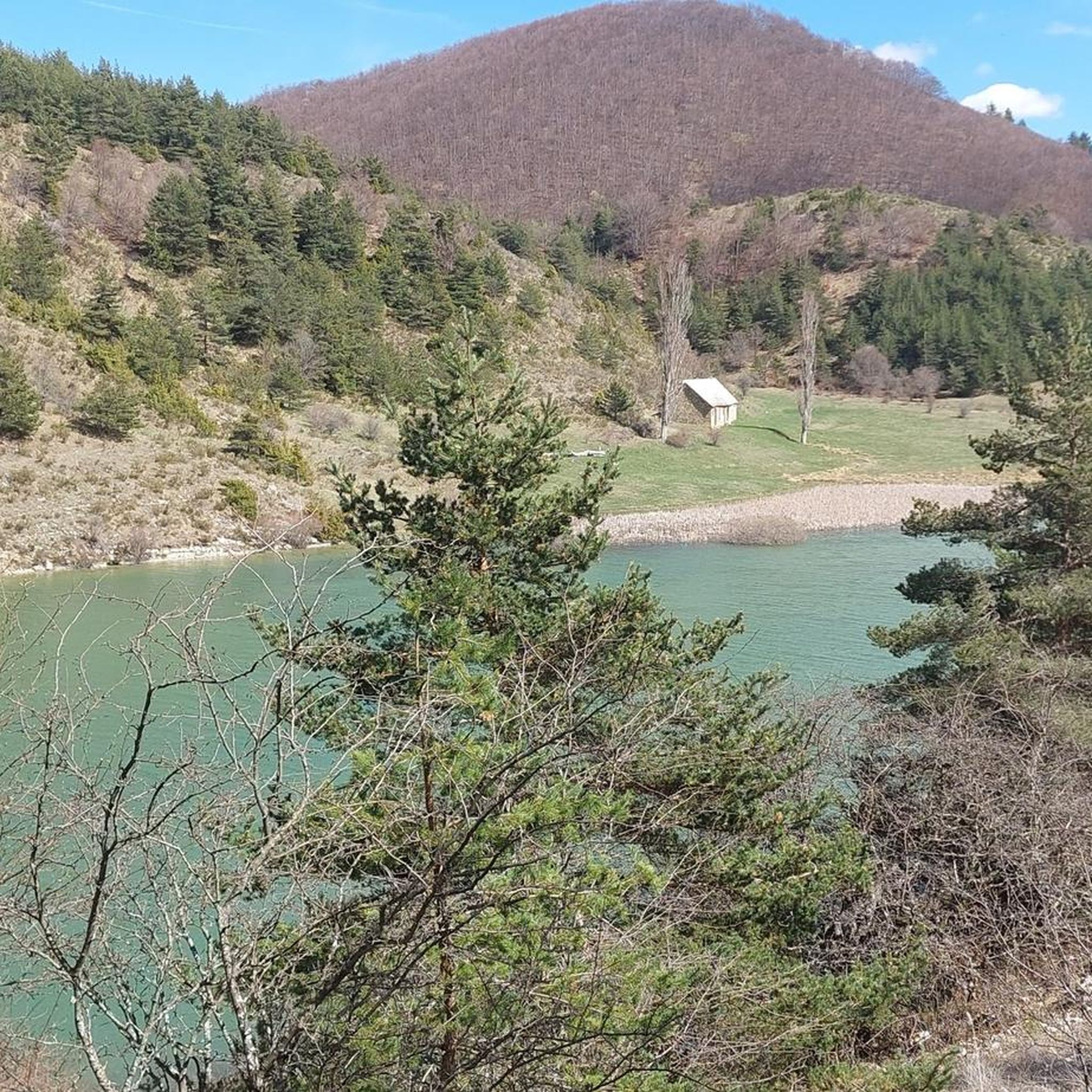
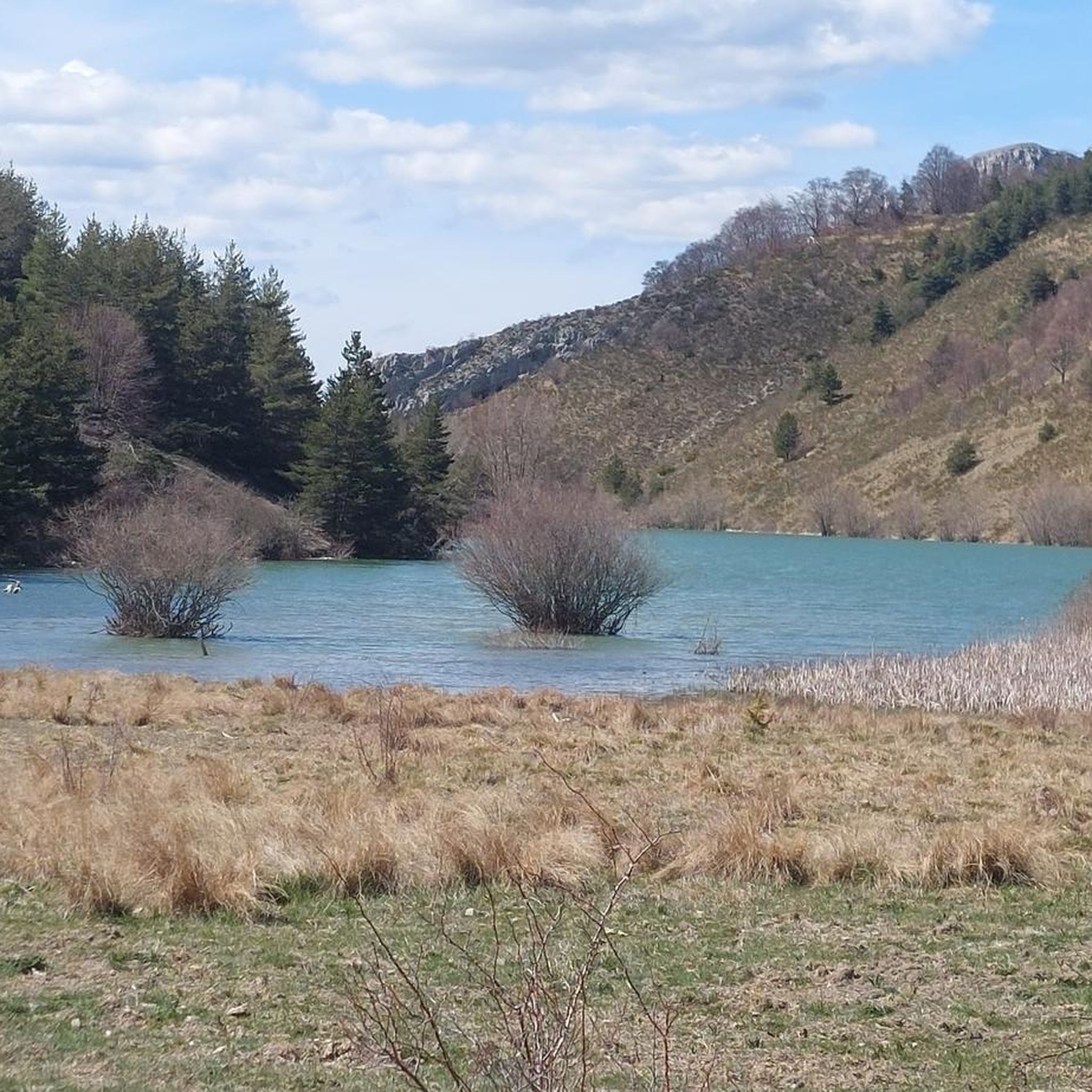
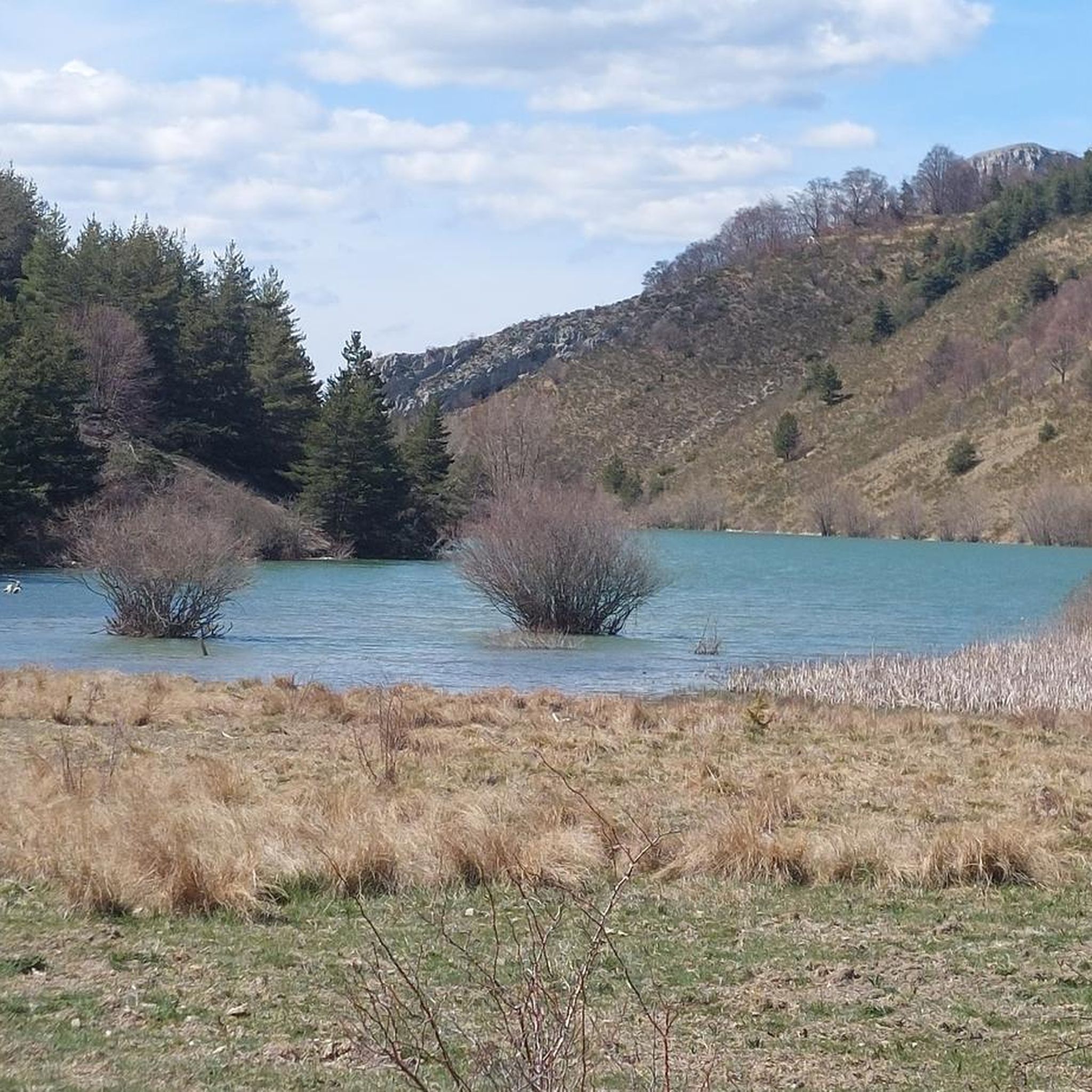
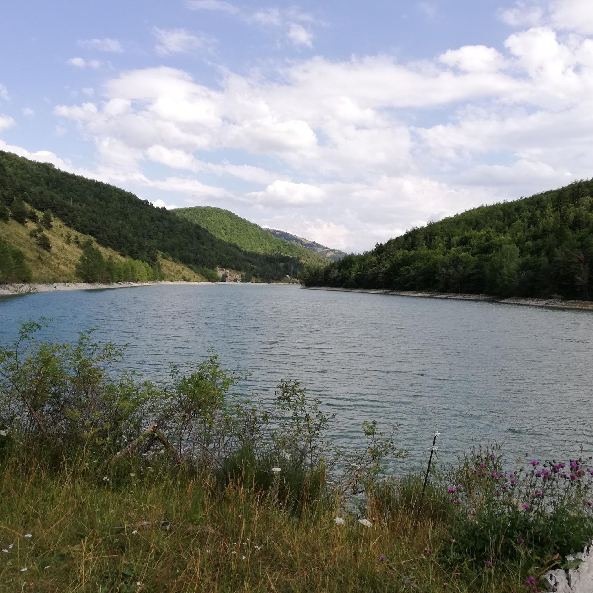

Tips from the Community

Route with a good amount of positive elevation gain that is both rideable and sheltered from heavy traffic.
0
0

The Castle of Tallard is one of the most important medieval monuments in the French Hautes-Alpes. It stands in the village of Tallard, about 20 km from Gap, in a dominant position over the Durance valley.
16
0
Great way to stay out of traffic.
16
0
The Col de Verniers via Châteauneuf d'Oze is a climb located in the Hautes-Alpes region. This climb is 2.4 km long, with a total elevation gain of 124 m. The Col de Verniers via Châteauneuf d'Oze has an average gradient of 5.1%.
22
0
The Col d'Espreaux is a climb located in the Hautes-Alpes region. This climb is 12.2 km long, with a total elevation gain of 585 m. The Col d'Espreaux has an average gradient of 4.8%.
18
0
Little remains of this ancient castle.
6
0
The Col de la Sentinelle is a climb located in the Serre Ponçon region. This climb is 7.4 km long, with a total elevation gain of 296 m. The Col de la Sentinelle has an average gradient of 4%.
7
0
The Col de Faye is a mountain pass in the Southern Alps, located in the department of Hautes-Alpes at an altitude of approximately 922 to 924 meters. It connects the Buëch valley to the Durance valley — between the municipalities of Savournon and Ventavon — via the departmental road D21.
18
0
Frequently Asked Questions
How many touring cycling routes are available around Barcillonnette?
There are over 50 touring cycling routes in the Barcillonnette area, offering a wide range of experiences. These include 5 easy routes, 17 moderate routes, and 37 difficult routes, catering to various skill levels.
What is the best time of year for touring cycling in Barcillonnette?
The prime cycling season in Barcillonnette, especially for tackling the high mountain passes, is typically July and August. During these months, the weather is generally most favorable, and the iconic passes are clear of snow, offering optimal conditions for touring cyclists.
What natural features can I expect to see while cycling around Barcillonnette?
The region around Barcillonnette is rich in diverse natural features. You'll encounter high mountain peaks rising between 2500 and 2900 meters, the prominent Ubaye River valley, and numerous lakes, including the large Lac de Serre-Ponçon. The landscape is also characterized by extensive forests and unique geological sites like the Clue de Barles and the Cirque d'Archiane. You might also pass by impressive structures such as the Espréaux Pass.
Are there any historical or cultural landmarks to explore along the cycling routes?
Yes, beyond the natural beauty, the region offers historical and cultural points of interest. Cyclists can discover ancient churches, abbeys, manor houses, and castles. Notable landmarks include Tallard Castle and Clausonne Abbey, which can be found in the broader area surrounding Barcillonnette.
What do other touring cyclists say about the routes in Barcillonnette?
The touring cycling routes around Barcillonnette are highly regarded by the komoot community, holding an average rating of 4.3 stars from over 90 reviews. Cyclists frequently praise the challenging ascents, scenic mountain passes, and the diverse natural landscapes, from river valleys to high peaks.
Are there any circular touring cycling routes in the Barcillonnette area?
Yes, several routes are designed as loops, allowing you to start and finish in the same location. An example is the difficult Bachassette Pass – Iscles Pond loop from Tête des Quarante, which navigates through passes and past natural water features. Another option is the EDF Canal Cycle Path – Col de Grêle loop from La Saulce, leading through river valleys.
Are there any moderate touring cycling routes suitable for those looking for a less strenuous ride?
While many routes in the Barcillonnette area are challenging, there are 17 moderate options available. For instance, the EDF Canal Cycle Path – Along the EDF Canal loop from Lardier et Valença - Le Plan Canal EDF is a moderate route that follows canals and offers a less demanding experience compared to the high mountain passes.
What kind of challenges can I expect on the more difficult touring cycling routes?
The difficult routes in Barcillonnette are characterized by significant elevation gain and mountainous terrain, often mirroring the challenging climbs of the Tour de France. You can expect to tackle high mountain passes like the Col de la Bonette, Col de Vars, Col d'Allos, and Col de la Cayolle. An example is the Tour of Montagne d'Aujour, which features over 1000 meters of elevation gain.
Can I find routes that include mountain passes?
Absolutely. The Barcillonnette region is renowned for its mountain passes, which are a central feature of many touring cycling routes. You can find routes that incorporate passes such as Espréaux Pass, Faye Pass, and Verniers Pass, offering breathtaking views and challenging climbs.
Are there any routes that offer panoramic views?
Many routes in the Barcillonnette area provide superb panoramic views, especially those that ascend to higher elevations. The surrounding peaks rise significantly, and features like the Tête de la Sestrière are known for offering 360-degree vistas. Routes that traverse mountain passes, such as the Espréaux Pass – Espréaux Pass loop from Pic de Céüse, will reward you with expansive scenery.
Is it possible to combine cycling with other outdoor activities in the area?
Yes, Barcillonnette and its surroundings are a hub for various outdoor activities. Beyond cycling, you can enjoy extensive hiking trails, whitewater sports on the Ubaye River (like rafting and kayaking), fishing, paragliding, and horseback riding. The region's diverse landscape makes it ideal for multi-sport adventures.
Most popular routes around Barcillonnette
Most popular attractions around Barcillonnette

Get inspired with the komoot mobile app


Explore more
Browse the best Cycling routes in other regions.
