The best mountain hikes around Orcières
4.8
(18)
73
hikers
13
hikes
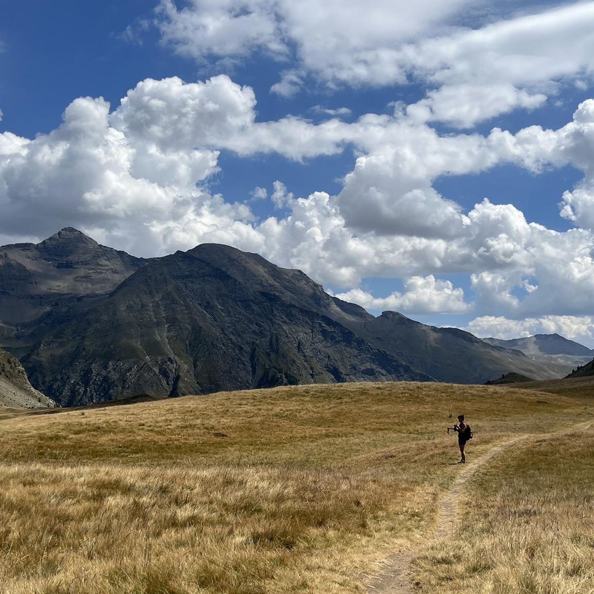
Mountaineering routes around Orcières are situated in the Hautes-Alpes, bordering the Écrins National Park, offering a blend of Alpine and Mediterranean climates. The region features 13 peaks over 3000 meters within the commune, directly in the Écrins massif. Notable natural features include the "Monde des six Lacs" with several high-altitude lakes and dramatic waterfalls. The terrain encompasses high mountain ascents, forest trails, and balcony walks overlooking the Champsaur valley.
Best mountaineering routes around Orcières
- The most popular mountaineering route is…
Last updated: July 1, 2026
5.0
(2)
16
hikers
17.4km
08:47
1,510m
1,510m
Hard mountaineering route. Very good fitness required. Sure-footedness, sturdy shoes and alpine experience required.
4.5
(2)
8
hikers
9.31km
04:16
760m
770m
Moderate mountaineering route. Good fitness required. Mostly accessible paths. Sure-footedness required.

Sign up for free
5.0
(3)
8
hikers
8.36km
03:14
390m
390m
Moderate mountaineering route. Good fitness required. Mostly accessible paths. Sure-footedness required.
4.7
(3)
7
hikers
Moderate mountaineering route. Good fitness required. Mostly accessible paths. Sure-footedness required.
8
hikers
9.29km
03:55
770m
770m
Moderate mountaineering route. Good fitness required. Easily-accessible paths. Suitable for all skill levels.
Get access to more routes and recommendations from other explorers.
Sign up for free
Already have an account?
Our route recommendations are based on thousands of hikes, rides, and runs completed by other people on komoot.
Start today with a free account
Your next adventure awaits.
Login or Signup

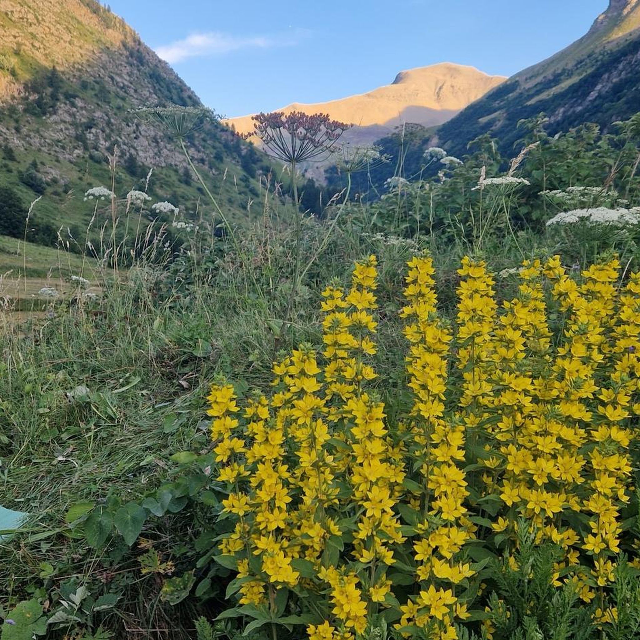
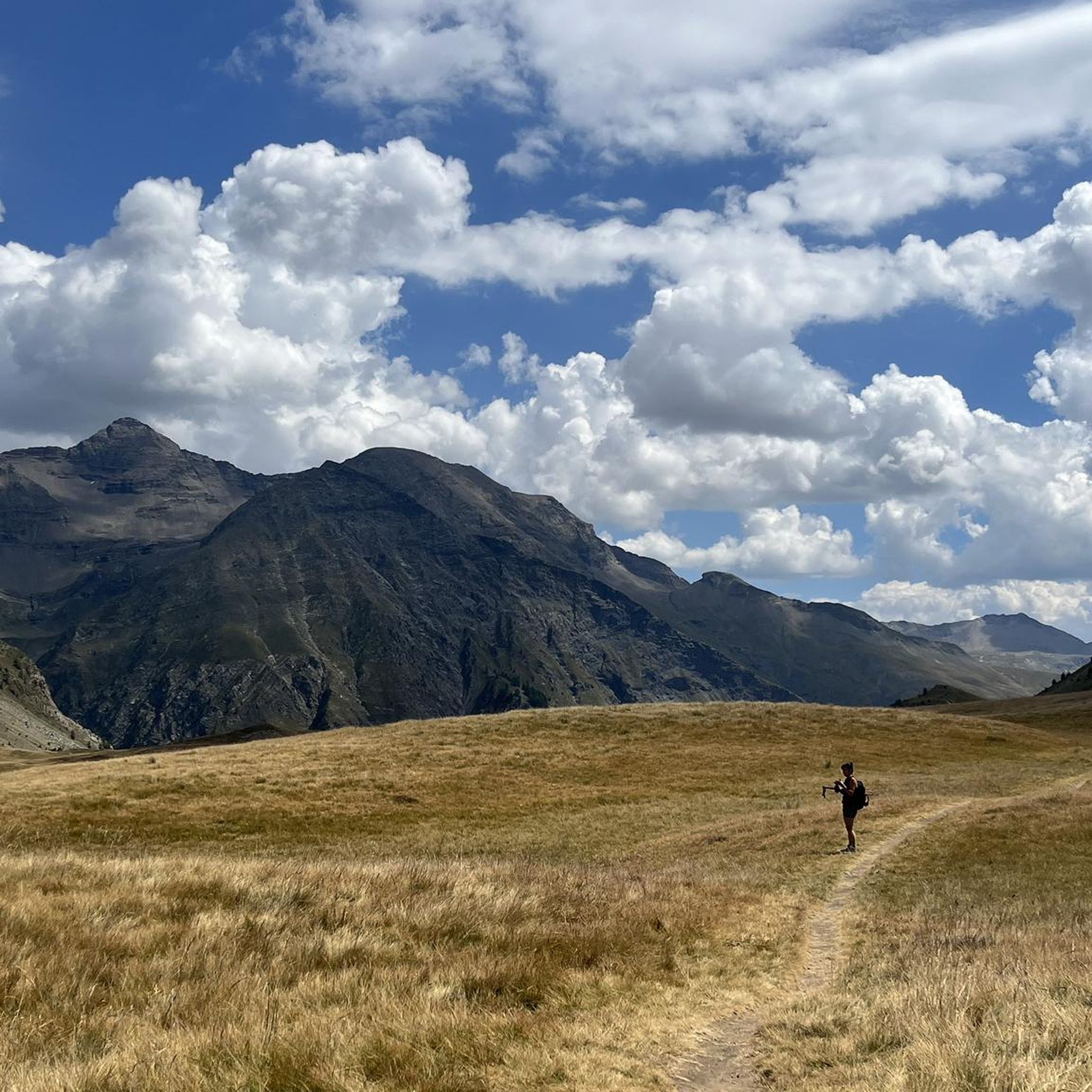
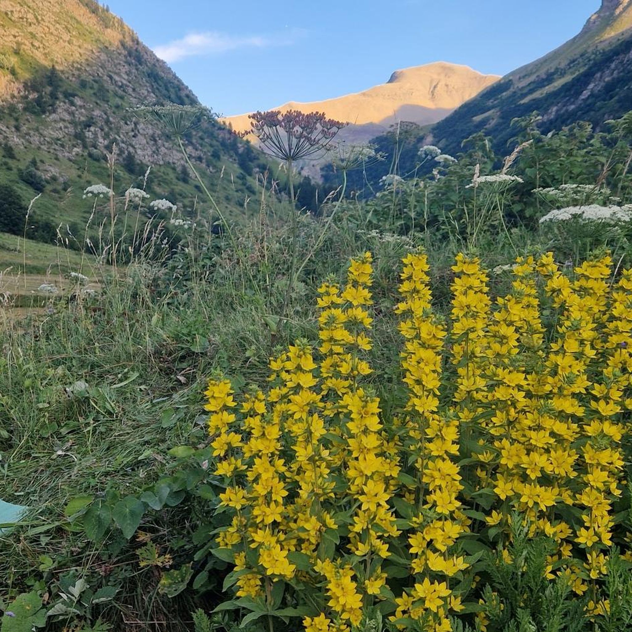
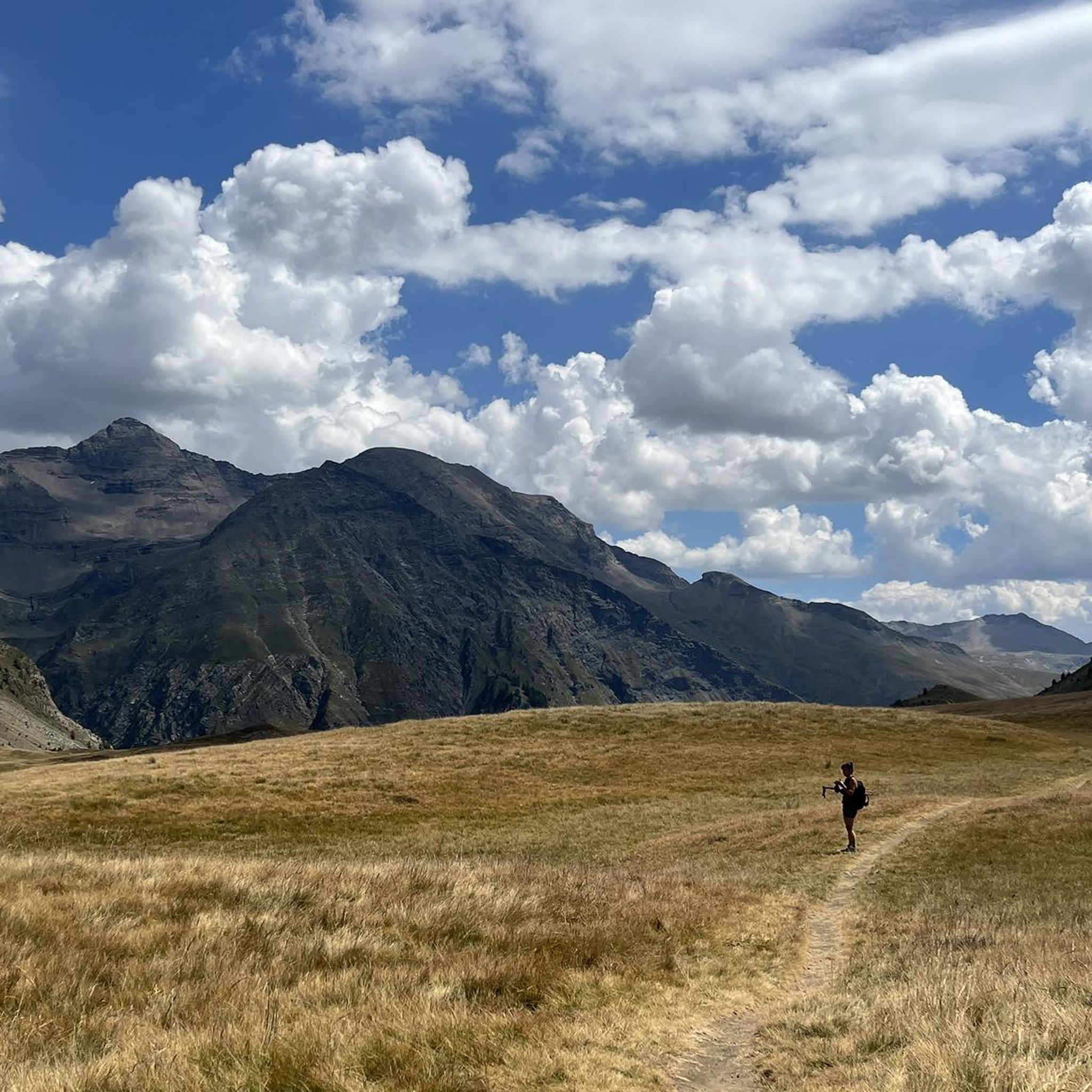

Other adventures around Orcières

Tips from the Community

A nice place for a well-deserved break...
0
0


Great spot, really friendly, very helpful staff. BUT - call ahead to make a reservation if you want to eat their food (though I saw people using tables, with their own food). AND - take cash if you've planned to eat there (they don't take cards).
0
0
If you go there following "Waze", from Embrun, once you have taken the road which goes up (route de Caléyère), stay on the road and do not follow the Waze directions which send you onto unpaved private roads (which do not do not shorten the journey)
1
0

Culminating at 2,354 meters, the Col de la Pisse offers beautiful panoramas of the Écrins massif.
0
0

From the viewpoint of the Chabrières chairlift you can enjoy a wide panorama of the needles. Wooden deck chairs await hikers.
1
0
From the path you can enjoy magnificent views of Lake Serre-Ponçon. The perspectives are impressive and remind us that we are here in the high mountains of the Southern Alps.
0
0

Don't hesitate to stop at this refuge for lunch (reservations recommended). The vegetarian menu or the charcuterie platter are excellent and the staff is super friendly.
0
0
Frequently Asked Questions
How many mountaineering routes are available in Orcières?
Orcières offers a diverse range of mountaineering routes, with over 15 tours documented on komoot. These routes vary in difficulty, providing options for both experienced mountaineers and those looking for a challenging day out.
What is the best time of year for mountaineering in Orcières?
The best time for mountaineering in Orcières is typically from late spring to early autumn. The region benefits from a blend of Alpine and Mediterranean climates, ensuring generous sunshine. However, conditions can change rapidly in the high mountains, so always check local weather forecasts and trail conditions before heading out.
Are there any circular mountaineering routes in Orcières?
Yes, Orcières features several circular mountaineering routes. For example, the Palluel Lake loop from Parking riverains is a challenging 8.5-mile route that offers extensive views and access to high-altitude lakes. Another option is the Mountaineering loop from Parking de la Forêt, which takes you through varied alpine forests and open slopes.
What kind of terrain can I expect on mountaineering routes in Orcières?
Mountaineering in Orcières involves diverse terrain, from high mountain ascents to refreshing forest trails and balcony walks overlooking the Champsaur valley. The region is characterized by high Alpine peaks, glacial valleys, and a network of high-altitude lakes, with 13 peaks over 3000 meters within the commune, directly in the Écrins massif.
Are there any routes suitable for beginners or those looking for a moderate challenge?
While many routes in Orcières are rated difficult, there are also moderate options available. For instance, the Lac de l'Hivernet loop from Parking de la Forêt is a moderate 5.7-mile route that offers a rewarding experience without the extreme demands of the most difficult ascents.
Can I find routes with waterfalls in Orcières?
Yes, the Orcières region is home to several dramatic waterfalls. You can explore areas near the Cascade de la Pisse or the Byasse Waterfall, which add to the scenic beauty of the trails. The Saut du Laire is another notable waterfall in the area.
What wildlife might I encounter on the trails?
The mountains around Orcières are rich in wildlife. You might spot marmots and chamois, especially in quieter areas or during dawn and dusk. The region is also home to over 1,800 plant species, adding to the natural beauty you'll experience.
Are there any huts or refuges along the mountaineering routes in Orcières?
Yes, the Orcières area offers several huts and refuges that can provide shelter or a place to rest during multi-day treks or longer day trips. Notable options include the Refuge du Tourond and the Grands Plans Hut.
What do other mountaineers say about the routes in Orcières?
The mountaineering routes in Orcières are highly regarded by the komoot community, with an average rating of 4.9 stars from over 20 reviews. Mountaineers often praise the stunning panoramic vistas, the challenging yet rewarding ascents, and the diverse natural features like high-altitude lakes and dramatic mountain scenery.
Are there any routes that offer panoramic viewpoints?
Many routes in Orcières provide breathtaking panoramic views. For instance, the Vieux Chaillol loop from Saint-Michel-de-Chaillol offers extensive vistas across rugged mountain terrain. The region's 13 peaks over 3000 meters ensure numerous opportunities for spectacular high-altitude perspectives.
Is public transport available to access mountaineering trailheads in Orcières?
While specific public transport options to all trailheads may vary, Orcières-Merlette itself is a recognized destination. It's advisable to check local bus schedules or shuttle services that might connect the main village with popular starting points for trails, especially during peak season.
Are there specific parking areas for mountaineering trails?
Yes, many popular mountaineering routes in Orcières have designated parking areas near their trailheads. For example, routes like the Palluel Lake loop start from 'Parking riverains' and the Mountaineering loop from 'Parking de la Forêt', indicating convenient access points for drivers.
Most popular routes around Orcières
Most popular attractions around Orcières

Get inspired with the komoot mobile app


Explore more
Browse the best Mountain Hikes & Routes in other regions.
