The best walks and hikes around Épiais-Rhus
4.6
(865)
4,288
hikers
322
hikes
Hiking around Épiais-Rhus offers access to a network of trails within a diverse natural landscape. The region is characterized by green spaces and proximity to significant forested areas, including the Carnelle forest and the Vexin PNR (Parc Naturel Régional). These areas provide varied terrain for exploration, ranging from open countryside to dense woodlands. The presence of nearby rivers, such as the Oise, also contributes to the scenic routes available for outdoor activities.
Best hiking trails around Épiais-Rhus
- The most popular…
Last updated: July 5, 2026
5.0
(3)
17
hikers
13.2km
03:33
160m
160m
Moderate hike. Good fitness required. Easily-accessible paths. Suitable for all skill levels.
4.3
(3)
15
hikers
15.3km
04:03
150m
150m
Moderate hike. Good fitness required. Easily-accessible paths. Suitable for all skill levels.

Sign up for free
4.9
(17)
9
hikers
12.9km
03:27
150m
150m
Moderate hike. Good fitness required. Easily-accessible paths. Suitable for all skill levels.
4.5
(2)
6
hikers
6.92km
01:53
100m
100m
Easy hike. Great for any fitness level. Easily-accessible paths. Suitable for all skill levels.
5.0
(3)
5
hikers
Moderate hike. Good fitness required. Easily-accessible paths. Suitable for all skill levels.
Get access to more routes and recommendations from other explorers.
Sign up for free
Already have an account?
Our route recommendations are based on thousands of hikes, rides, and runs completed by other people on komoot.
Start today with a free account
Your next adventure awaits.
Login or Signup
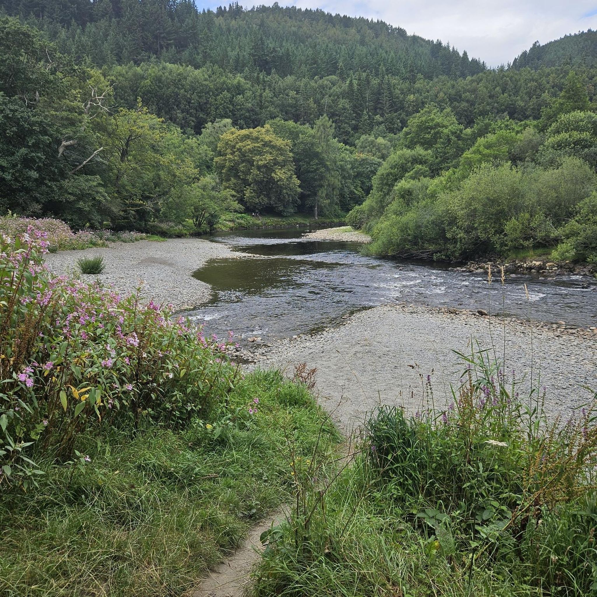
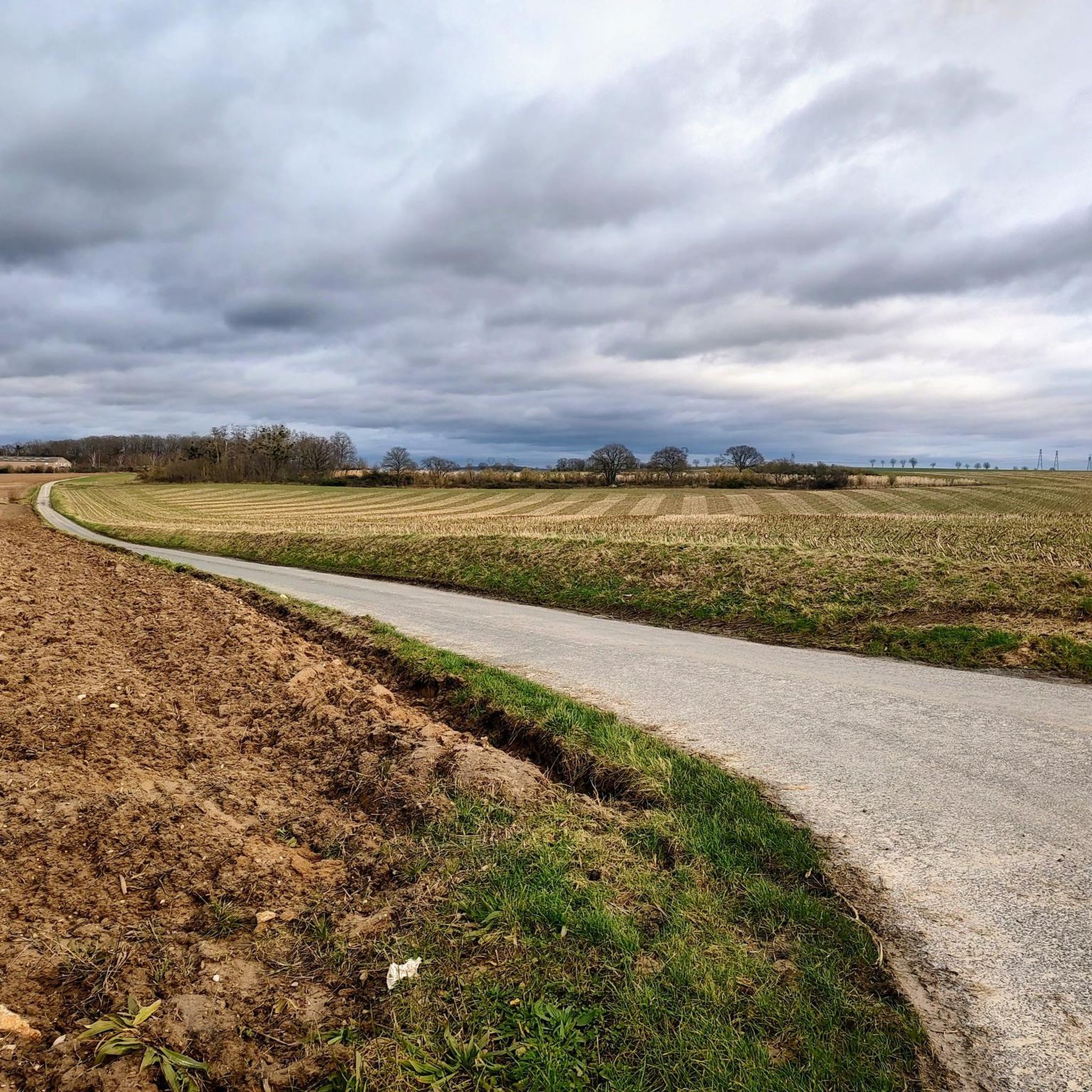
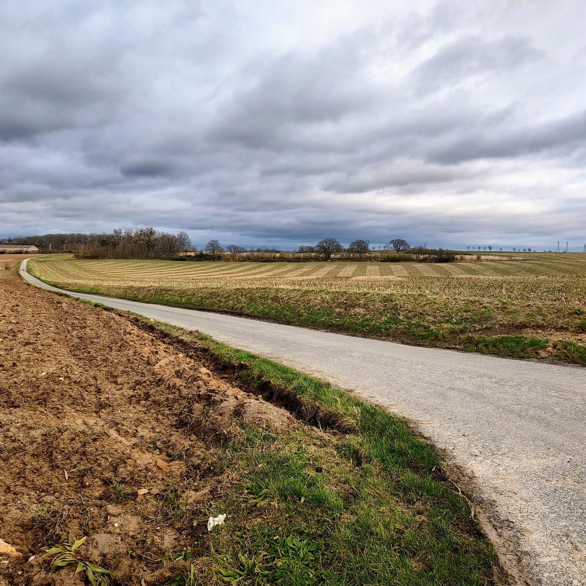
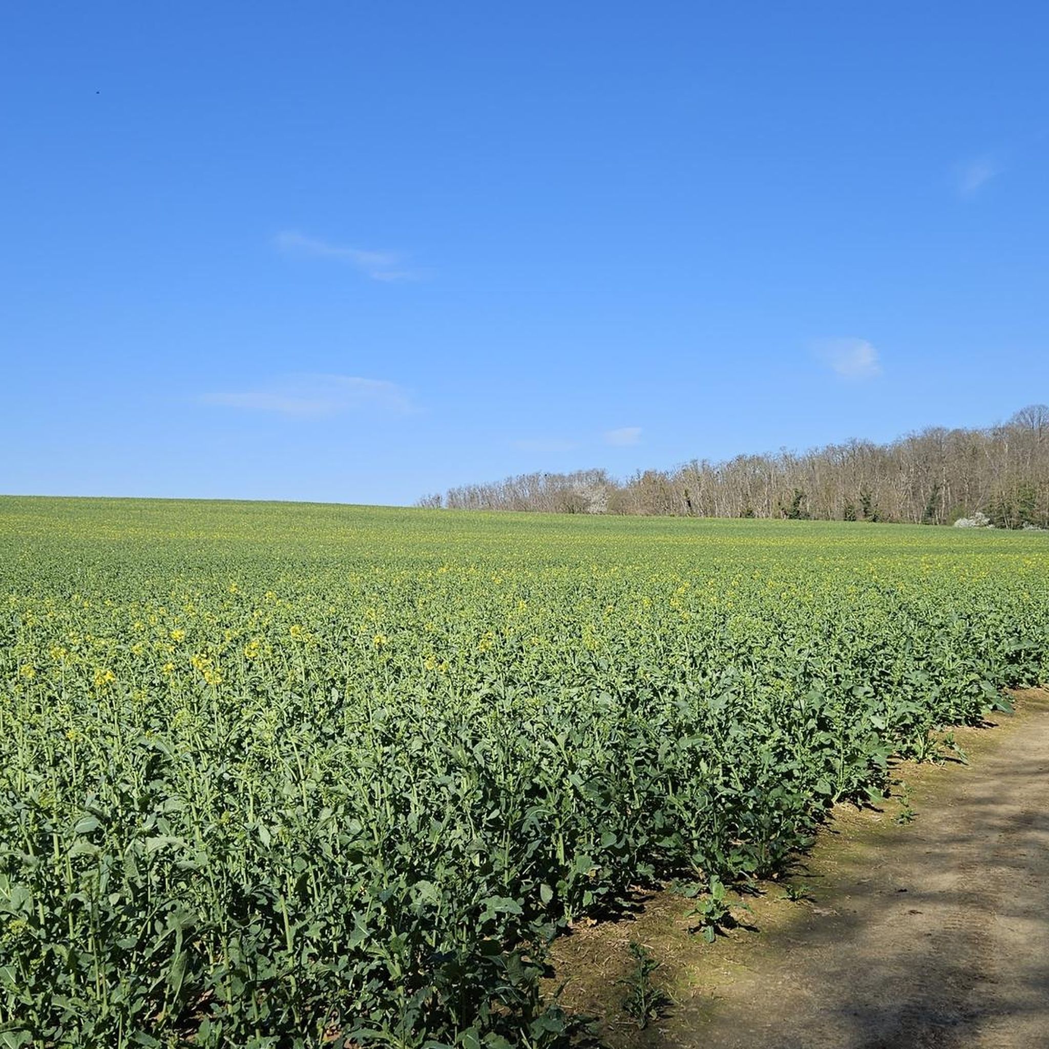
Tips from the Community


Be careful, do not continue on the Chemin des Fontaines, it is private even if it is not prohibited for pedestrians.
0
0

Secluded, quite bucolic location
0
0

Pretty church and square with monuments to the dead of Epiais Rhus.
1
0

Water point on the square below the church
1
0

Either way, you can't miss it. Great anyway.
0
0

Hi. To complete this photo, it is not an abandoned house, but a water tank for a steam engine, and an old station, hidden in the trees.... great discovery for you.
1
0
Frequently Asked Questions
How many hiking trails are available around Épiais-Rhus?
Épiais-Rhus offers a wide selection of outdoor adventures, with over 300 hiking routes to explore. These trails traverse diverse landscapes, from open countryside to dense woodlands, providing options for various preferences and skill levels.
What are the typical difficulty levels for hikes in this region?
The hiking trails around Épiais-Rhus cater to all abilities. You'll find a good mix of options, including over 110 easy routes perfect for a relaxed stroll, more than 170 moderate trails for a good workout, and about 30 challenging paths for experienced hikers seeking a greater adventure.
Are there family-friendly hiking routes suitable for children?
Yes, many trails in the region are suitable for families. For an easier option, consider the St Claude de Theuville church loop from Theuville, which is 4.3 miles (6.9 km) long and generally takes around 2 hours to complete. The varied terrain and green spaces make it an enjoyable outing for all ages.
Can I find circular hiking routes in Épiais-Rhus?
Absolutely. Many of the trails around Épiais-Rhus are designed as loops, allowing you to start and end at the same point. A popular choice is the Hiking loop from Épiais-Rhus, a moderate 6.7 miles (10.8 km) route that offers a great way to experience the local scenery without retracing your steps.
What kind of landscapes will I encounter on the trails?
The region is characterized by its rich natural environment. You'll hike through extensive green spaces, significant forested areas like the Carnelle forest and the Vexin PNR (Parc Naturel Régional), and discover scenic routes along river valleys, such as those near the Oise River. Expect a mix of open fields, woodlands, and charming rural views.
Are there any interesting landmarks or attractions along the hiking trails?
Yes, the area boasts several points of interest. You can explore historical sites like Auvers-sur-Oise, known for its artistic heritage, or visit the charming town of L'Isle Adam with its historical bridges. Natural highlights include the Auversian Geological Site and the ancient chestnut trees of Butte de Marines.
What do other hikers enjoy most about the trails in Épiais-Rhus?
The trails in Épiais-Rhus are highly regarded by the komoot community, holding an average rating of 4.6 stars from over 750 reviews. Hikers frequently praise the diverse terrain, the tranquility of the forested areas like Bois des Bouleaux and Bois de Gérocourt, and the well-maintained paths that make for an enjoyable outdoor experience.
What is the best season to go hiking in Épiais-Rhus?
Épiais-Rhus is enjoyable for hiking throughout much of the year. Spring and autumn offer pleasant temperatures and beautiful scenery with blooming flowers or vibrant fall foliage. Summer is also popular, especially in the shaded forest areas. Even in winter, the trails can be explored, though conditions may vary.
How long do hikes typically take in this region?
Hike durations vary significantly depending on the route and your pace. Shorter, easy trails might take around 1-2 hours, while moderate routes like the Hedouville – Le goulet loop from Vallangoujard, which is 8.0 miles (12.8 km), typically take about 3 hours 26 minutes. Longer, more challenging routes can extend to 4-5 hours or more.
Is public transport available to access trailheads around Épiais-Rhus?
While Épiais-Rhus itself is a smaller commune, the broader region has public transport options that can connect you to nearby towns and, from there, to various trailheads. It's advisable to check local bus or train schedules for specific routes and starting points, especially for trails further afield in the Vexin PNR.
Are there less crowded hiking options for a more peaceful experience?
Yes, with over 300 routes, it's possible to find quieter trails, especially during off-peak hours or by exploring some of the lesser-known paths within the Carnelle forest or the Vexin PNR. The region is known for its 'hidden gems' which offer rewarding experiences away from the busiest spots.
Where can I find parking for hiking trails in Épiais-Rhus?
Many trailheads in and around Épiais-Rhus, particularly those starting from villages like Vallangoujard or Livilliers, offer designated parking areas. For routes within natural parks or forests, look for small parking lots or roadside pull-offs near the official starting points. It's always a good idea to check the specific route details on komoot for parking suggestions.
Most popular routes around Épiais-Rhus
Most popular attractions around Épiais-Rhus

Get inspired with the komoot mobile app


Explore more
Browse the best Hikes in other regions.
