The best walks and hikes around Leigneux
4.3
(134)
544
hikers
74
hikes
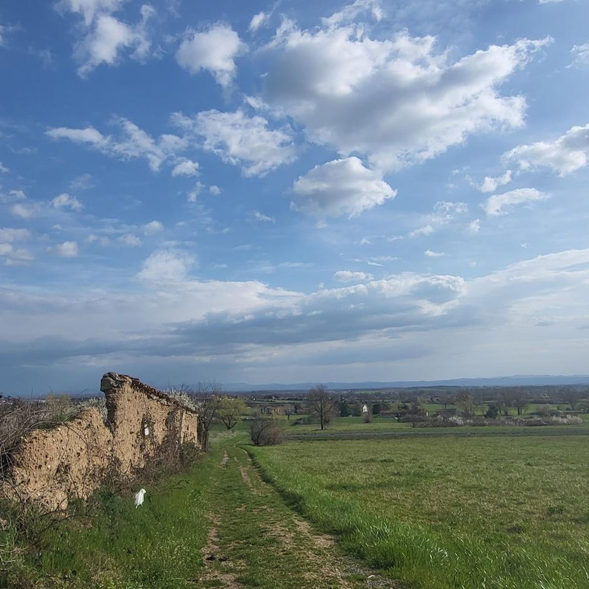
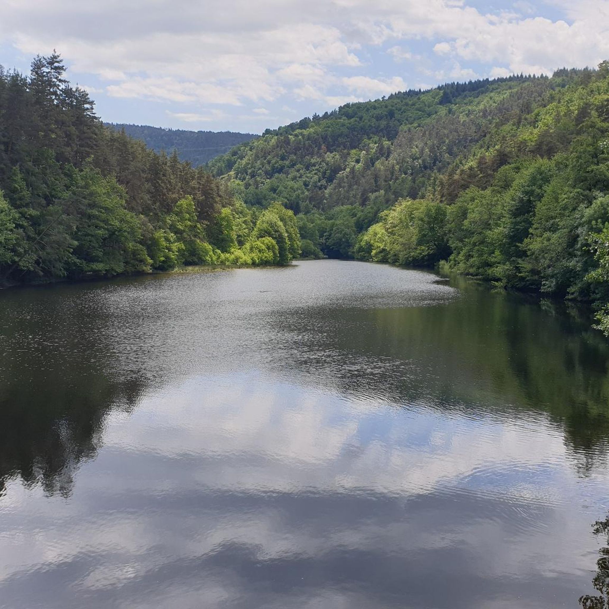
Hiking around Leigneux offers diverse landscapes in the Loire department of the Auvergne Rhône-Alpes region. Situated at an altitude of 500 meters in the Forez region, the area features a blend of forests, vineyards, and pastures, all contoured by the Lignon River. The terrain includes wooded hills, such as the ancient Travorche Volcano, providing varied elevation for hikers. The wider Forez area is known for its nature sports, with numerous paths following riverbanks and leading through scenic valleys.
Best hiking…
Last updated: June 27, 2026
3.3
(4)
15
hikers
10.8km
03:02
220m
220m
Moderate hike. Good fitness required. Easily-accessible paths. Suitable for all skill levels.
4.6
(5)
23
hikers
12.8km
03:52
410m
410m
Moderate hike. Good fitness required. Easily-accessible paths. Suitable for all skill levels.

Sign up for free
4.5
(6)
14
hikers
6.38km
01:53
190m
190m
Easy hike. Great for any fitness level. Easily-accessible paths. Suitable for all skill levels.
5.0
(2)
7
hikers
17.4km
05:07
470m
470m
Hard hike. Very good fitness required. Easily-accessible paths. Suitable for all skill levels.
7
hikers
25.3km
07:40
810m
810m
Hard hike. Very good fitness required. Easily-accessible paths. Suitable for all skill levels.
Get access to more routes and recommendations from other explorers.
Sign up for free
Already have an account?
Our route recommendations are based on thousands of hikes, rides, and runs completed by other people on komoot.
Start today with a free account
Your next adventure awaits.
Login or Signup

Frequently Asked Questions
What types of hiking trails can I find around Leigneux?
Leigneux offers a diverse range of hiking trails, from easy strolls along the Lignon River to more challenging ascents into the surrounding wooded hills and the Forez Mountains. The area features a blend of forests, vineyards, and pastures, providing varied terrain for all skill levels. There are over 70 hiking routes available in the region.
Are there any easy hiking trails suitable for families or beginners?
Yes, Leigneux has a good selection of easy trails. Approximately 20 of the routes are classified as easy, perfect for a leisurely walk. For example, the Chemin de Belizar loop from Trelins is an easy 4.0-mile (6.4 km) trail that takes about 1 hour 53 minutes to complete, leading through varied local scenery.
What are the more challenging hiking options in the Leigneux area?
For experienced hikers seeking a challenge, Leigneux offers several difficult routes, with 14 trails falling into this category. These routes often feature significant elevation gains through the wooded hills and mountains. An example is the Couzan Castle and Chapel – Chemin de Belizar loop from Trelins, a demanding 29.9-mile (29.9 km) route with over 840 meters of elevation gain.
Can I find circular hiking routes around Leigneux?
Many of the hiking trails around Leigneux are designed as circular routes, allowing you to start and end at the same point. This is ideal for exploring the diverse landscapes without retracing your steps. The Chemin de Belizar – The Forez plain loop from Trelins is a popular moderate circular trail, covering 6.7 miles (10.8 km) in about 3 hours.
What natural features or landmarks can I see while hiking in Leigneux?
Hiking in Leigneux offers views of diverse natural features and historical landmarks. You can explore trails along the Lignon River, through vineyards, and into forests. Notable landmarks include the medieval Château de Sail-sous-Couzan, which can be seen from various viewpoints. The area is also backed by a vast wooded hill that includes the ancient Travorche Volcano. You might also encounter sites like Montverdun Priory or La Bâtie d'Urfé Castle.
Are there any hikes that offer views of the Château de Sail-sous-Couzan?
Yes, several routes provide excellent views of the medieval Château de Sail-sous-Couzan. A highly-rated option is the Couzan Castle and Chapel loop from Sail-sous-Couzan. This moderate 7.9-mile (12.8 km) path specifically highlights the castle and its chapel, offering scenic vistas.
What do other hikers say about the trails in Leigneux?
The hiking trails in Leigneux are highly regarded by the komoot community, holding an average rating of 4.4 stars from over 100 reviews. Hikers often praise the varied terrain, from riverbanks to wooded hills, and the scenic views of the Forez region. Over 400 hikers have used komoot to explore the area, indicating its popularity.
Is Leigneux a good destination for hiking with dogs?
Leigneux and the surrounding Forez region are generally welcoming for outdoor activities, including hiking with dogs. Many trails pass through natural landscapes like forests and riverbanks, which are suitable for canine companions. However, always ensure your dog is under control, especially near livestock or in protected areas, and check local regulations for specific trails.
What is the best time of year to go hiking in Leigneux?
The region around Leigneux offers pleasant hiking conditions for much of the year. Spring and autumn provide mild temperatures and beautiful scenery with blooming flowers or vibrant fall foliage. Summer is also suitable, especially for walks along the Lignon River or in the cooler forested areas. Even in winter, the nearby Chalmazel ski resort transforms into a hiking hub, with options for snowshoeing at higher altitudes, though specific gear would be needed.
Are there options for public transport to reach hiking trailheads in Leigneux?
While Leigneux is a rural village, public transport options to specific trailheads might be limited. It's generally recommended to have a car for maximum flexibility when accessing the diverse hiking routes in the surrounding Forez region. However, some trails may be accessible from the village center itself.
Where can I find parking for hiking trails in Leigneux?
Parking is typically available in or near the village of Leigneux, as well as at common starting points for popular trails in nearby towns like Trelins or Sail-sous-Couzan. Look for designated parking areas near churches, town halls, or trail information boards. It's advisable to check specific trailhead information for parking details before you go.
Most popular attractions around Leigneux

Get inspired with the komoot mobile app


Explore more
Browse the best Hikes in other regions.
