The best walks and hikes around Badendorf
4.5
(4754)
25,443
hikers
892
hikes
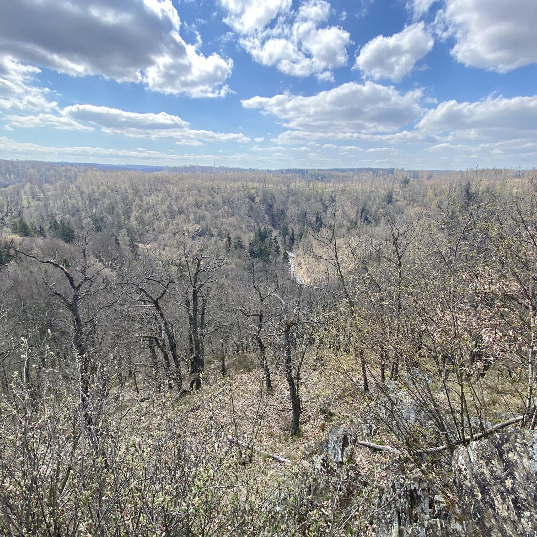
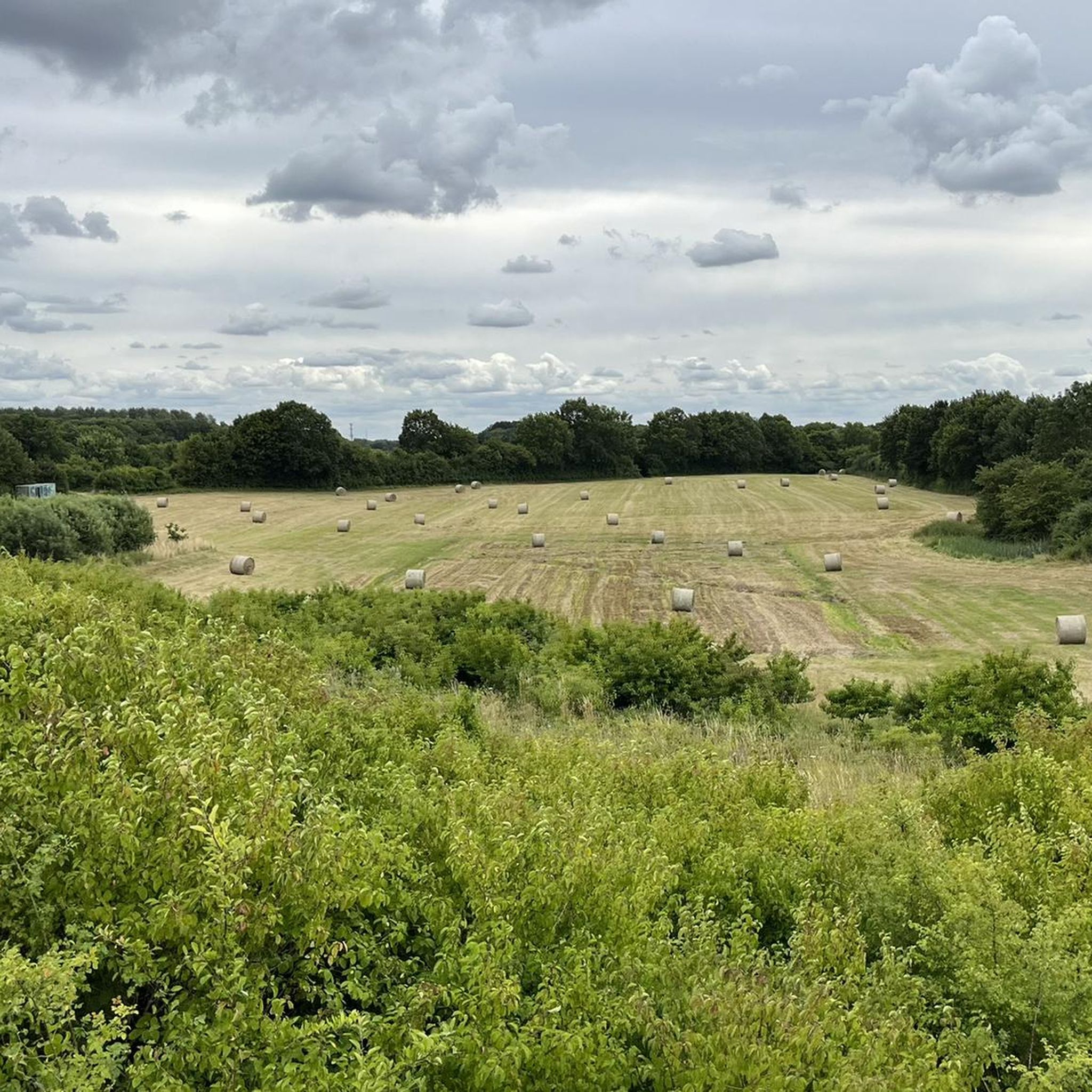
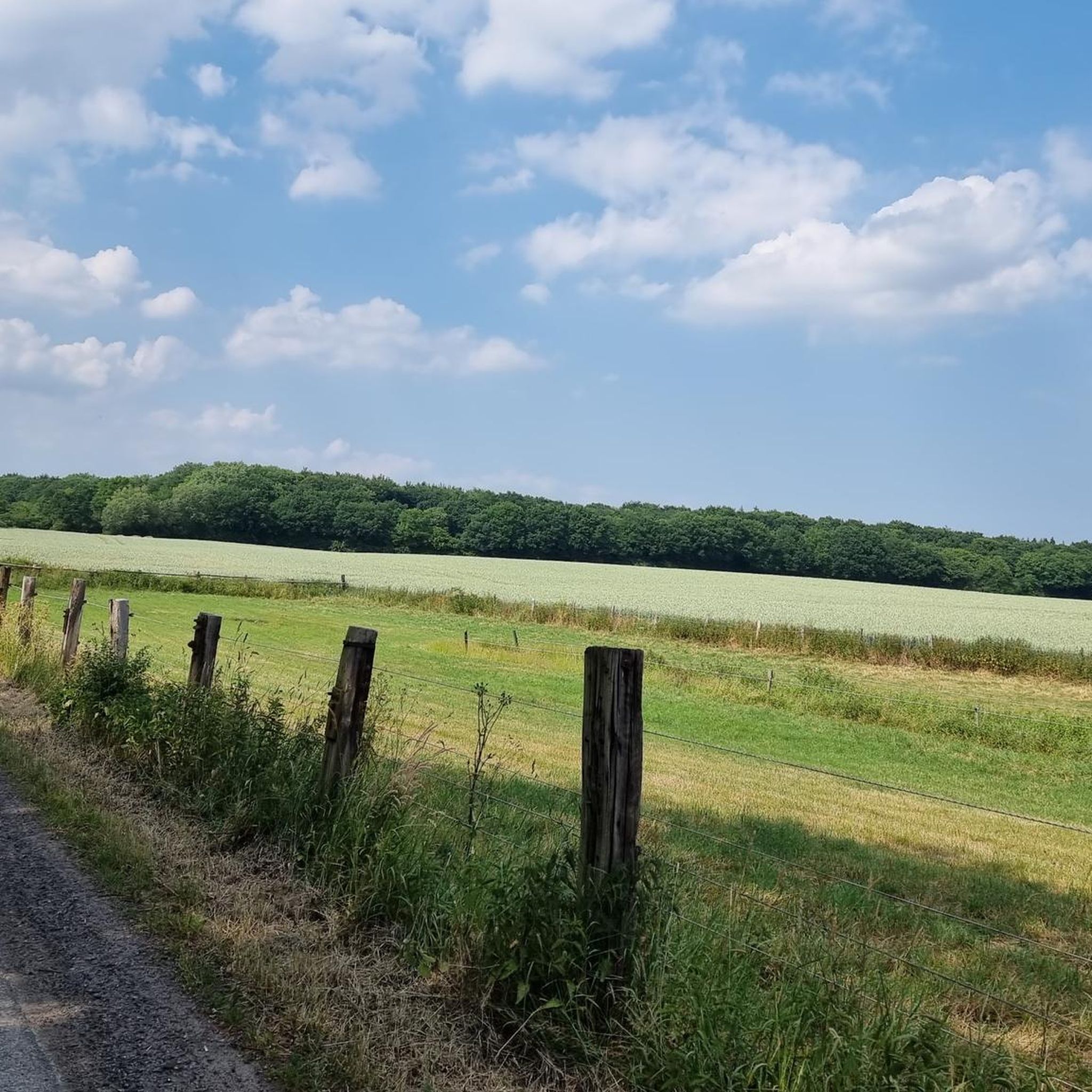
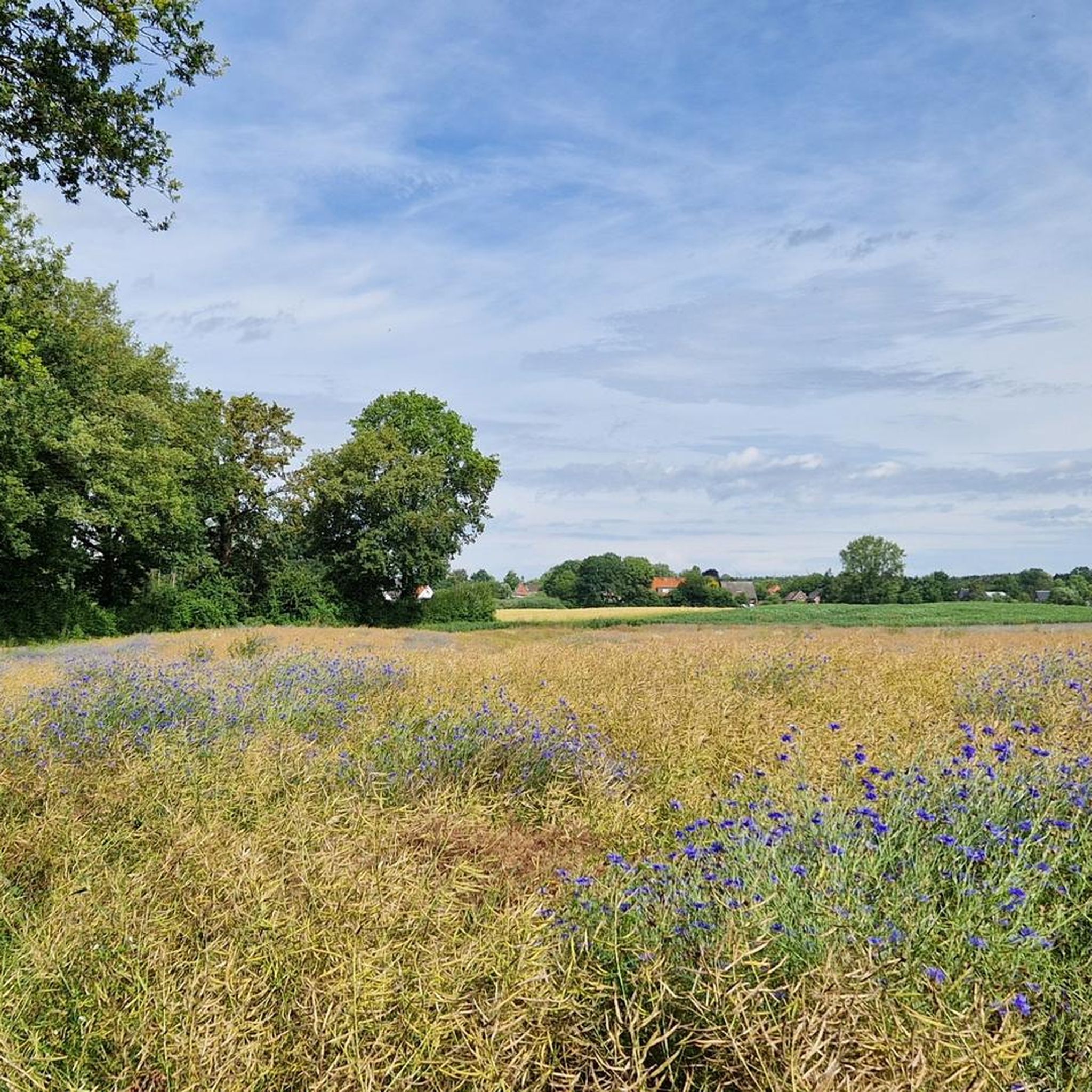
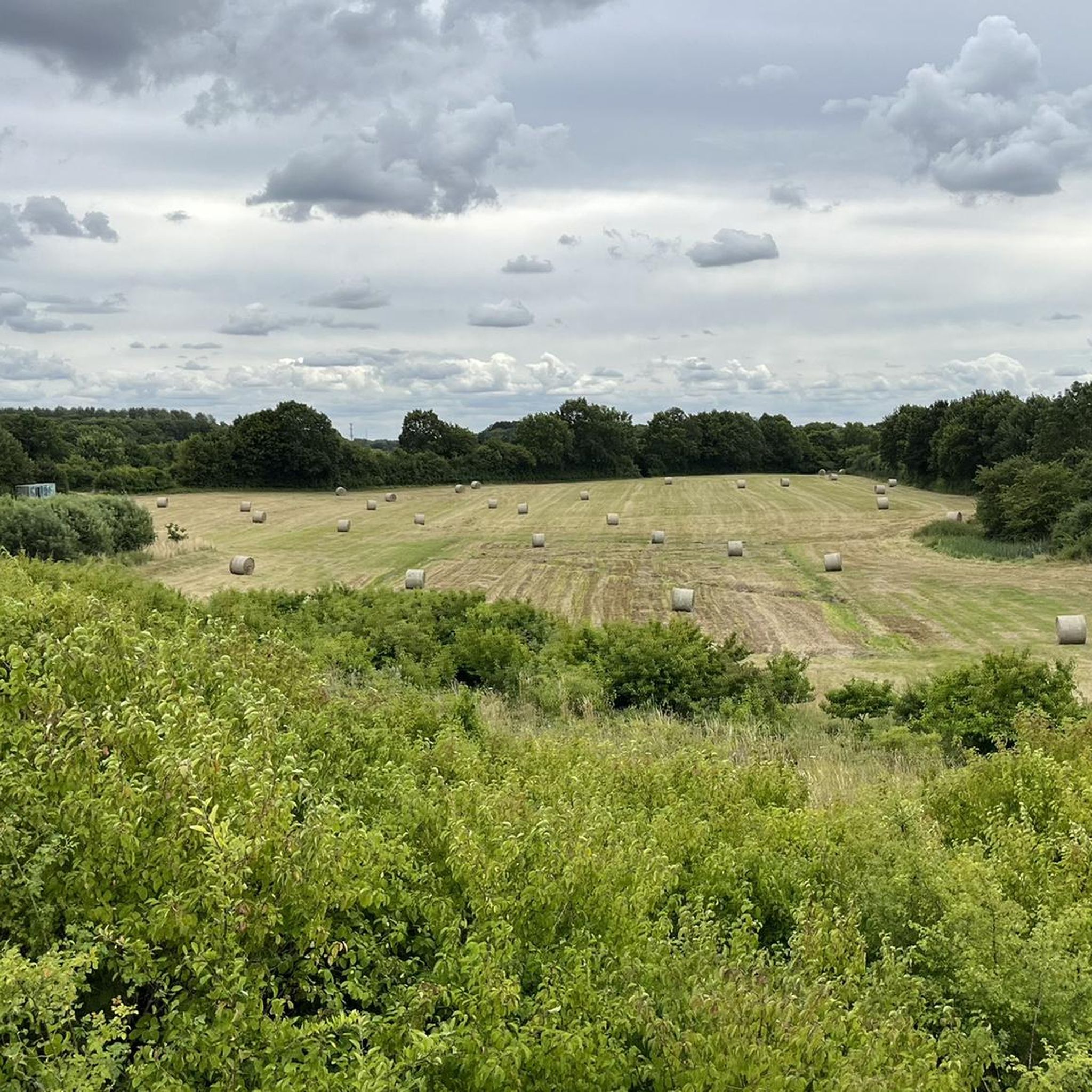
Hiking around Badendorf offers access to a landscape characterized by flat terrain and forested areas, providing accessible outdoor experiences. The region features open fields and paths through former military training areas, offering a mix of natural and historical points of interest. These trails are generally low in elevation gain, making them suitable for casual walks.
Best hiking trails around Badendorf
- The most popular hiking route is Wüstenei Military Training Area loop from Badendorf, a 2.9 miles (4.6 km) trail…
Last updated: June 25, 2026
4.8
(25)
146
hikers
4.63km
01:10
10m
10m
Easy hike. Great for any fitness level. Easily-accessible paths. Suitable for all skill levels.
5.0
(2)
15
hikers
9.79km
02:30
30m
30m
Moderate hike. Good fitness required. Easily-accessible paths. Suitable for all skill levels.

Sign up for free
4.5
(2)
5
hikers
Hard hike. Very good fitness required. Easily-accessible paths. Suitable for all skill levels.
5.0
(4)
7
hikers
3.62km
00:56
10m
10m
Easy hike. Great for any fitness level. Easily-accessible paths. Suitable for all skill levels.
5.0
(4)
7
hikers
3.41km
00:52
10m
10m
Easy hike. Great for any fitness level. Easily-accessible paths. Suitable for all skill levels.
Get access to more routes and recommendations from other explorers.
Sign up for free
Already have an account?
Our route recommendations are based on thousands of hikes, rides, and runs completed by other people on komoot.
Start today with a free account
Your next adventure awaits.
Login or Signup
Tips from the Community

In 2025/26, the forestry authority in Reinfelds' forests did a great job, and the forest path through the cow pasture was not spared either. The northeastern section was once a narrow path, now it is just a wide forest road like so many others and has largely lost its former charm. The passage near Manhagen between Knick and Ackerrain was completely cleared.
0
0

There is a shelter here that invites you to linger.
3
0
From the shelter you have a beautiful view of the Herrenteich.
0
0
The Herrenteich Pond is located in the heart of the carp town of Reinfeld. It was artificially created in the 12th century by Cistercian monks as a reservoir for the Heilsau River for fish farming. Carp are still bred here today. A four-kilometer circular trail around the Lower Herrenteich invites you to discover this special ecosystem. 16 stations along the adventure trail offer fun and a nature experience in one, sharpening your awareness of the special features of this natural area. In summer, you can enjoy the cool water at the lido. See: https://tourismus-stormarn.de/de/naturerlebnis/herrenteich-reinfeld-5
2
0
The Herrenteich in Reinfeld is a popular tourist destination. The approximately 55-hectare body of water is divided into the upper and lower Herrenteich. The upper Herrenteich remains a recognized nature reserve. The lower Herrenteich is home to, among other things, a hiking trail and an outdoor pool in the summer. Due to melting snow, the Herrenteich flooded in early March 2010. A temporary dam erected at the time due to construction work threatened to no longer hold the water masses. A breach of the dam would have flooded the entire hinterland. The Hamburg/Lübeck railway embankment would also have been affected. See: https://www.thw-badoldesloe.de/aktuelles/aktuelle-meldungen/artikel/vor-10-jahren-hochwassereinsatz-am-herrenteich-fachgruppen-wasserschadenpumpen-verhindern-stauwe
2
1
Consecrated on July 2, 1636. It was built as an emergency church and later expanded to include the Herrenstuhl (1737) and the sacristy (1962). The church was named in 1940 to commemorate the 200th birthday of the poet Matthias Claudius, who was born in Reinfeld and baptized in this church. His father, Matthias Claudius Sr., was a pastor in Reinfeld from 1730 to 1773. See: https://www.kirche-nordstormarn.de/#kirchereinfeld
3
0
The Herrenteich Pond is located in the heart of the carp town of Reinfeld. It was artificially created in the 12th century by Cistercian monks as a reservoir for the Heilsau River for fish farming. Carp are still bred here today. A four-kilometer circular trail around the Lower Herrenteich invites you to discover this special ecosystem. 16 stations along the adventure trail offer fun and a nature experience in one, sharpening your awareness of the special features of this natural area. See: https://tourismus-stormarn.de/de/naturerlebnis/herrenteich-reinfeld-5
3
0
Located in the heart of the town of Reinfeld, the Neuhof Pond covers approximately 2.5 hectares and boasts a good population of carp, bream, tench, and various whitefish species, as well as predatory fish such as eels, perch, pike, and zander. See: https://www.oldesloer-anglerverein.com/gewaesser/neuhoefer-teich/
3
0
Frequently Asked Questions
How many hiking trails are available around Badendorf?
There are over 890 hiking routes available around Badendorf, offering a wide range of options for different preferences and skill levels.
What kind of terrain can I expect on hikes near Badendorf?
Hikes around Badendorf are characterized by flat terrain, open fields, and forested areas. Many paths lead through the former Wüstenei Military Training Area, providing a mix of natural and historical points of interest with generally low elevation gain.
Are there many easy hiking options in Badendorf?
Yes, Badendorf is particularly well-suited for easy hikes, with over 650 routes classified as easy. These trails are ideal for casual walks and those looking for less strenuous outdoor experiences.
Are there any challenging hikes around Badendorf?
While the region is known for its generally flat terrain, there are a few more challenging routes available. You can find about 30 routes classified as difficult, offering a bit more of a workout for experienced hikers.
What is the typical duration of hikes in Badendorf?
Hikes in Badendorf vary in length and duration. Many popular routes, like the Wüstenei Military Training Area loop from Badendorf, can be completed in just over an hour. Longer routes, such as the Mest Marzipan Factory Outlet loop from Badendorf, typically take around 2.5 hours.
Are the hiking trails in Badendorf suitable for families?
Yes, the predominantly flat terrain and numerous easy routes make Badendorf an excellent destination for family-friendly walks. Many trails are accessible and offer a pleasant outdoor experience for all ages.
Are there circular walks available in Badendorf?
Yes, many of the hiking routes in Badendorf are circular, allowing you to start and end your journey in the same location. Examples include the Wüstenei Military Training Area – Mini Garden loop from Badendorf and the Mest Marzipan Factory Outlet loop from Badendorf.
What interesting places can I see near the hiking trails in Badendorf?
Beyond the trails, you can explore several nearby attractions. These include natural highlights like the View of Kleiner See and the Wakenitz Nature Reserve. For historical and cultural sights, consider visiting the Holsten Gate in Lübeck or the Lübeck Market Square.
What do other hikers enjoy the most about hiking in Badendorf?
The hiking routes in Badendorf are highly rated by the komoot community, with an average score of 4.5 stars from over 3,900 reviews. Hikers often praise the accessible flat paths, the open fields, and the peaceful forested sections that define the area's varied terrain.
Are there any specific highlights or landmarks to look out for on the trails?
While hiking, you might encounter points of interest such as the Herrenteich Reinfeld or the Fischhuser Bridge over the Herrenteich. The trails also offer glimpses into the history of the former Wüstenei Military Training Area.
Can I find hikes that offer scenic views in Badendorf?
Yes, while the terrain is generally flat, some routes offer pleasant views, particularly around the local lakes and open landscapes. The View of Kleiner See is a notable highlight for scenic appreciation.
Most popular routes around Badendorf
Most popular attractions around Badendorf

Get inspired with the komoot mobile app


Explore more
Browse the best Hikes in other regions.
