The best mountain hikes around Saint-Véran
4.7
(17)
100
hikers
13
hikes
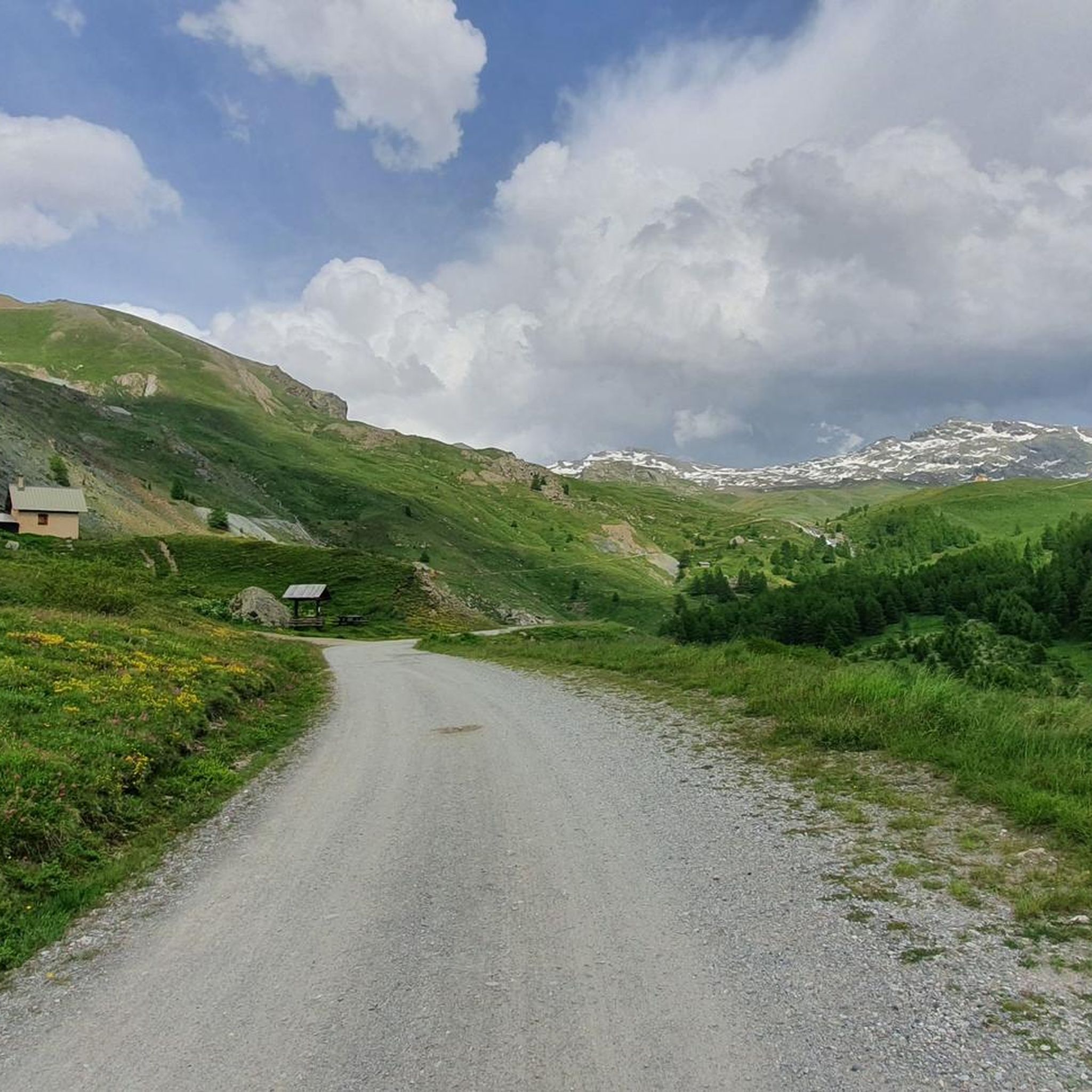
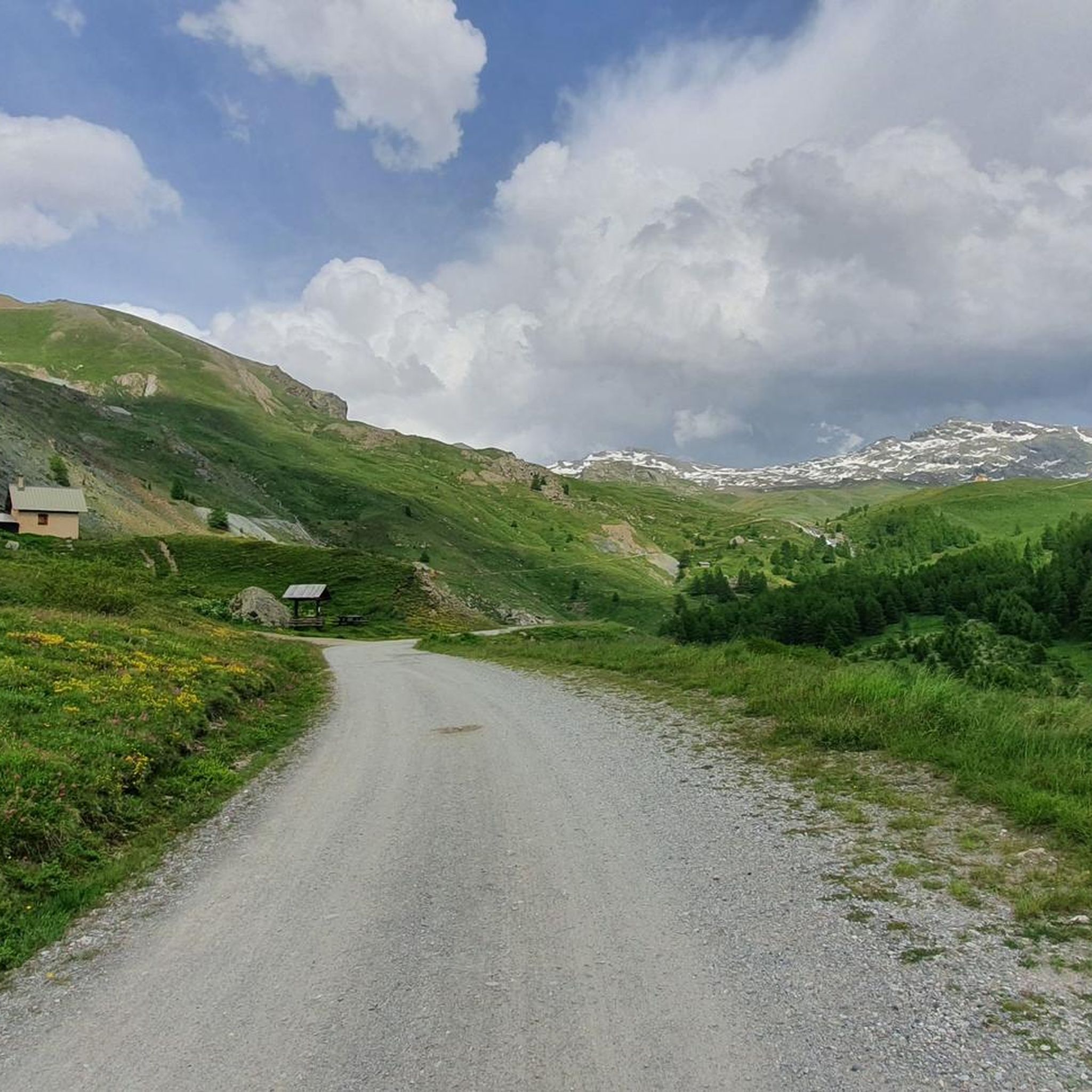
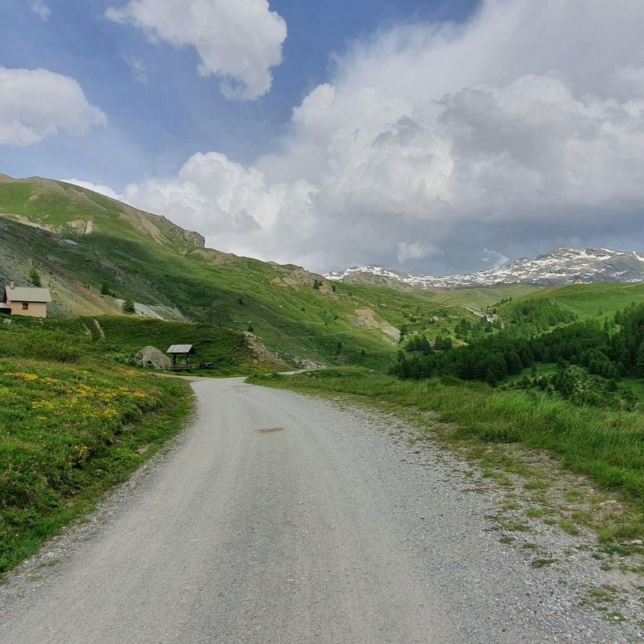
Mountaineering routes around Saint-Véran are situated within the Queyras Regional Natural Park, an area characterized by high-altitude terrain, extensive forests, and deep valleys. The region offers immediate access to challenging mountain environments, with elevations ranging between 1990m and 2040m. This mountainous landscape provides a diverse setting for alpine exploration, featuring prominent peaks and vast high-mountain pastures. Dramatic gorges, such as the Gorges du Guil, and picturesque mountain lakes like Lac Miroir, are also defining natural features.
Best mountaineering routes around…
Last updated: July 1, 2026
3.0
(1)
17
hikers
7.63km
03:59
660m
660m
Moderate mountaineering route. Good fitness required. Mostly accessible paths. Sure-footedness required.
5.0
(1)
9
hikers
5.56km
02:59
470m
470m
Hard mountaineering route. Good fitness required. Sure-footedness, sturdy shoes and alpine experience required.

Sign up for free
4.7
(3)
8
hikers
11.7km
04:07
630m
630m
Moderate mountaineering route. Good fitness required. Easily-accessible paths. Suitable for all skill levels.
5.0
(1)
8
hikers
Hard mountaineering route. Good fitness required. Sure-footedness, sturdy shoes and alpine experience required.
5.0
(2)
7
hikers
Hard mountaineering route. Good fitness required. Sure-footedness, sturdy shoes and alpine experience required.
Get access to more routes and recommendations from other explorers.
Sign up for free
Already have an account?
Our route recommendations are based on thousands of hikes, rides, and runs completed by other people on komoot.
Start today with a free account
Your next adventure awaits.
Login or Signup
Popular around Saint-Véran




Tips from the Community

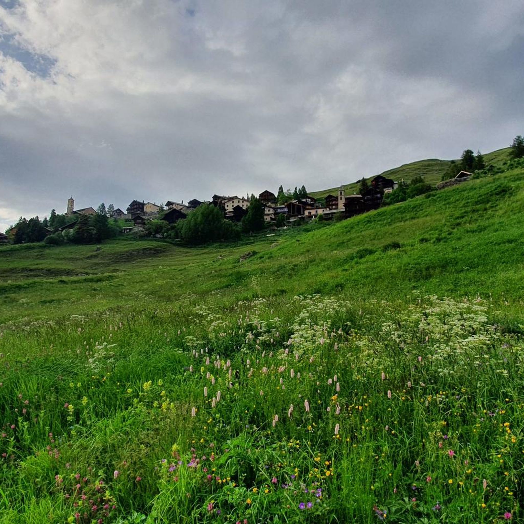
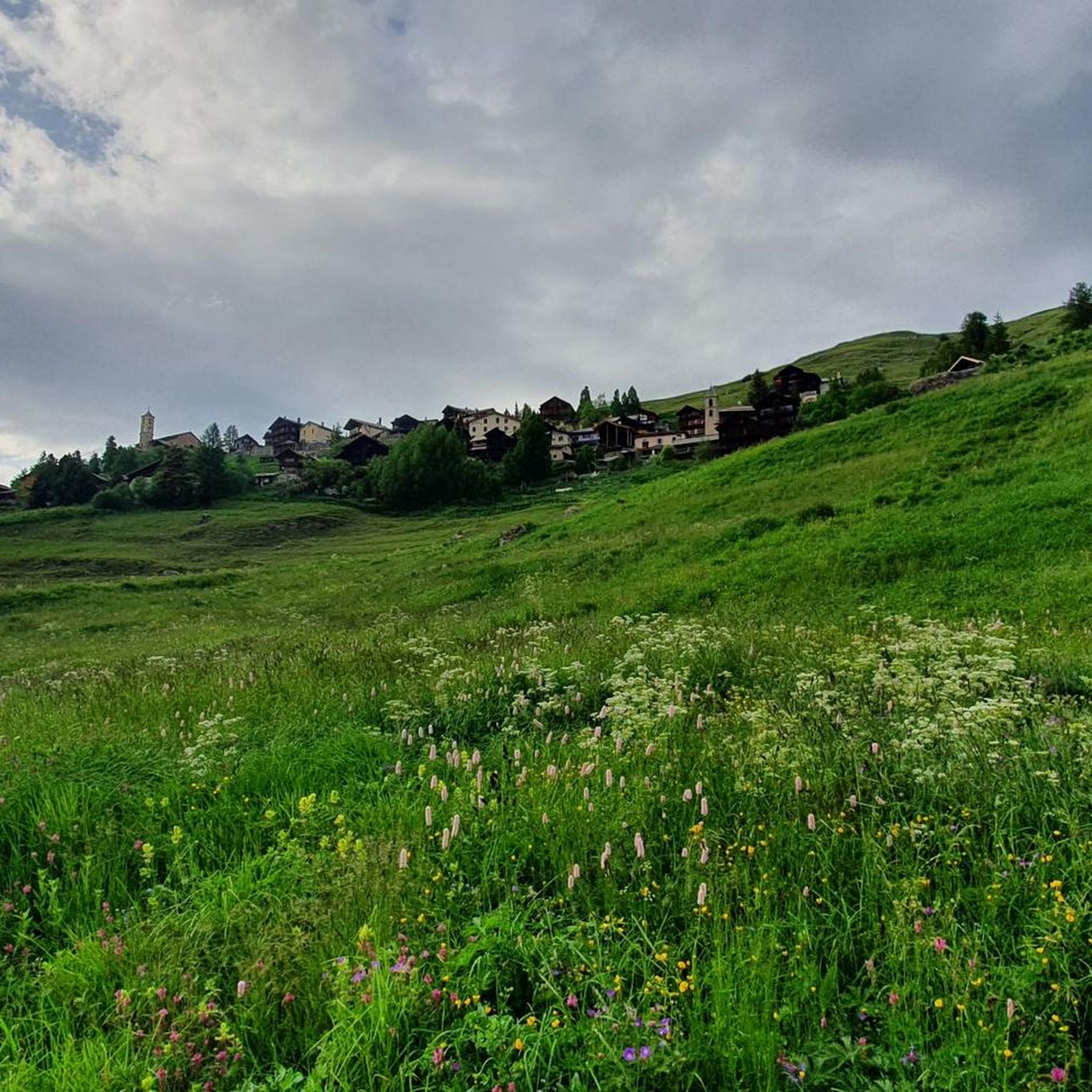
Small village within the beautiful Queyras park.
15
0

At the start it is quite challenging (steep and uneven) then as you go down it becomes easier
0
0
descent difficulty BC - beautiful and doable with Full Mtb
0
0

A relatively easy "3000" starting from the Agnel refuge. The topo and photos at this address: https://treksrandos.fr/alpes/hautes-alpes-05/escreins/pic-de-caramantran-3025-m/
1
0


Nice view, also on Pain du Sucre 3208 meters. Amazing view, you see France and Italy
0
0

The summit is located at 3209 meters above sea level on the border of France and Italy. You get beautiful 360 degree views, with Monte Viso (paramount logo) and Mont Blanc filling the view. In my experience the climb was challenging. The paths were not always clear, so we took the wrong path twice and had to climb instead of walking. I recommend staying in group to avoid doubt and follow the gravel path. Despite the brief fear, it was definitely worth it!! Top experience
0
0
Frequently Asked Questions
How challenging are the mountaineering routes around Saint-Véran?
The routes in Saint-Véran cater to a range of abilities. While there are no easy mountaineering routes listed, you'll find 4 moderate routes and 15 difficult routes. For example, the Col du Longet (2,701 m) loop from Chez Mem's is a moderate option, while the Col Vieux loop from Col Agnel / Colle dell'Agnello presents a more difficult challenge with demanding ascents.
Are there any circular mountaineering routes available?
Yes, many of the mountaineering routes around Saint-Véran are circular, allowing you to start and end at the same point. Examples include the moderate Col du Longet (2,701 m) loop from Chez Mem's and the more challenging Lac Bleu – Bes Lakes at Col de Longet loop from inizio percorso.
What kind of natural features and landmarks can I expect to see on these routes?
Mountaineering routes in Saint-Véran offer stunning alpine landscapes within the Queyras Regional Natural Park. You can encounter high-altitude terrain, extensive forests, and deep valleys. Notable features include picturesque mountain lakes like Mirror Lake and Lake Sainte-Anne. You might also pass by significant mountain passes such as Col Blanchet (2997 m) or summits like Pain de Sucre Summit.
When is the best time of year for mountaineering in Saint-Véran?
The high-altitude environment of Saint-Véran makes summer and early autumn the most popular times for mountaineering, offering the most favorable weather conditions. While winter mountaineering is possible, it requires specialized equipment and expertise due to snow, ice, and colder temperatures. Always check local conditions and forecasts before heading out.
Are there any family-friendly mountaineering options around Saint-Véran?
While many routes are rated moderate to difficult, some of the shorter, less strenuous sections of the moderate trails could be suitable for families with older children who have some hiking experience. For example, the Chapelle Saint-Simon loop from Molines-en-Queyras is a moderate route that might be more accessible than the difficult high-alpine ascents.
Can I bring my dog on the mountaineering trails in the Queyras Regional Natural Park?
The Queyras Regional Natural Park has specific regulations regarding dogs to protect wildlife and maintain the natural environment. Generally, dogs are allowed but must be kept on a leash. It's always best to check the specific rules for the Queyras Regional Natural Park before your visit, as regulations can vary by area and season.
What kind of wildlife might I encounter while mountaineering in Saint-Véran?
The diverse landscapes of the Queyras Regional Natural Park are home to a variety of alpine wildlife. Hikers often have the chance to spot marmots, chamois, and ibex, particularly on the higher ridges and more remote sections of the trails.
What do other mountaineers enjoy most about the routes in Saint-Véran?
The mountaineering routes in Saint-Véran are highly rated by the komoot community, with an average score of 4.7 stars from over 30 reviews. Mountaineers frequently praise the challenging ascents, panoramic views of the high-altitude environment, and the stunning alpine lakes encountered along the way.
Are there any shorter mountaineering routes for a half-day trip?
Yes, some routes are suitable for a half-day adventure. For instance, the Col Vieux loop from Col Agnel / Colle dell'Agnello is a difficult 3.4-mile (5.6 km) path that can be completed in under 3 hours, offering a challenging experience in a shorter timeframe.
What are the typical elevation gains on mountaineering routes in Saint-Véran?
Mountaineering routes in Saint-Véran, being in a high-altitude environment, feature significant elevation gains. For example, the moderate Col du Longet (2,701 m) loop from Chez Mem's involves over 650 meters of ascent, while difficult routes like the Lac Bleu – Bes Lakes at Col de Longet loop from inizio percorso can have over 800 meters of elevation gain.
Are there any specific regulations or permits required for mountaineering in the Queyras Regional Natural Park?
As Saint-Véran is located within the Queyras Regional Natural Park, certain regulations are in place to preserve the environment. While general hiking and mountaineering typically don't require specific permits, it's always advisable to respect park rules regarding waste, wildlife, and bivouacking. For technical climbing or guided expeditions, local mountain guides from the Queyras Guide Bureau can provide specific information and support.
Most popular routes around Saint-Véran
Most popular attractions around Saint-Véran

Get inspired with the komoot mobile app


Explore more
Browse the best Mountain Hikes & Routes in other regions.
