The best walks and hikes around Champtonnay
4.0
(5)
70
hikers
8
hikes
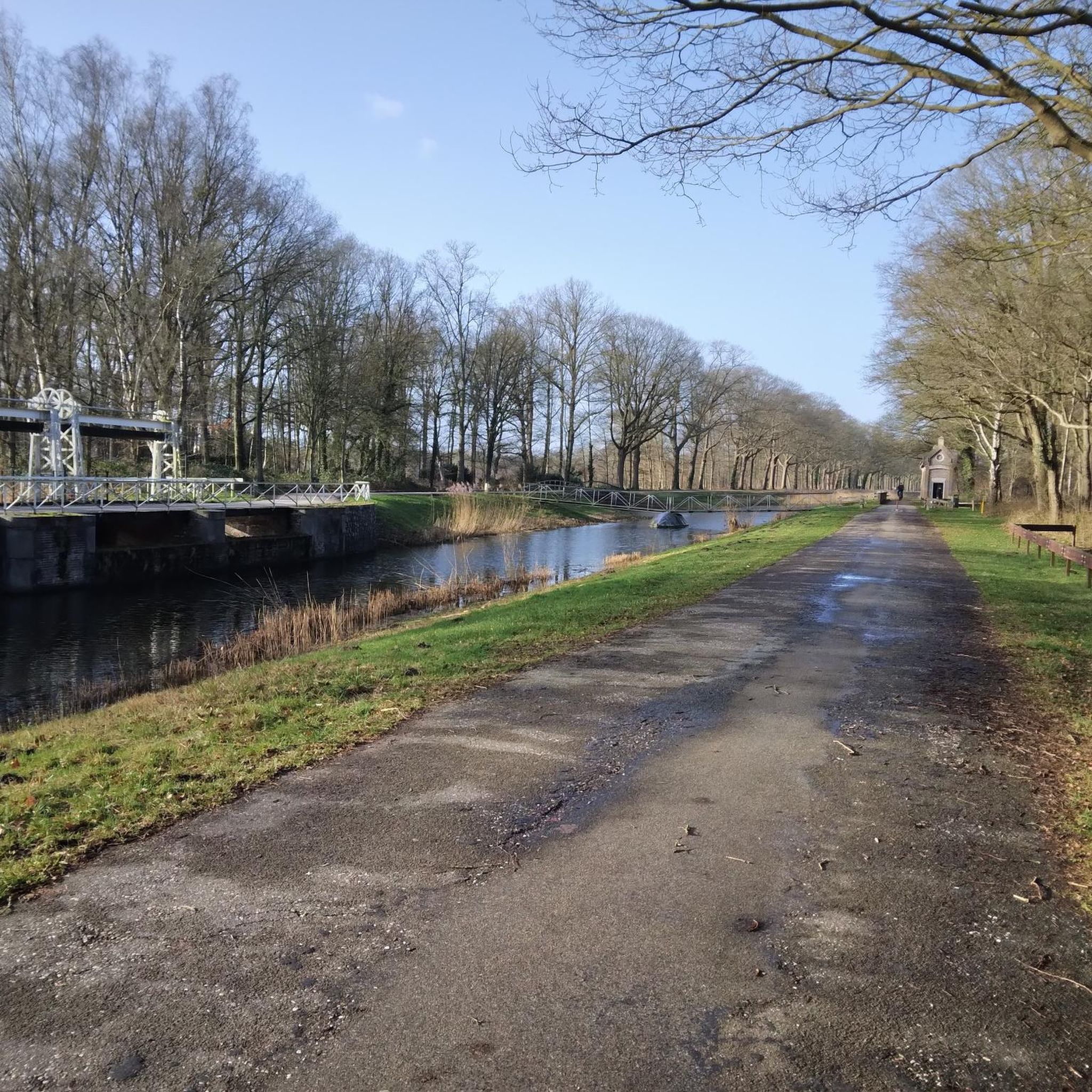
Hiking around Champtonnay offers a tranquil setting for outdoor activities within the Haute-Saône department of France. The region is characterized by its diverse rural scenery, including magnificent beech woods, verdant hills, and expansive agricultural fields. The Tenise river traverses the area, providing serene waterside paths. With an average altitude of 215 meters, the terrain is generally gentle, making for accessible walks.
Best hiking trails around Champtonnay
- The most popular hiking route is Between forges and forests, a 12.3 miles…
Last updated: May 25, 2026
19.7km
04:10
150m
150m
Moderate hike. Good fitness required. Easily-accessible paths. Suitable for all skill levels.
5.0
(1)
18
hikers
10.8km
02:46
40m
40m
Moderate hike. Good fitness required. Easily-accessible paths. Suitable for all skill levels.

Sign up for free
4.0
(1)
7
hikers
Easy hike. Great for any fitness level. Easily-accessible paths. Suitable for all skill levels.
10
hikers
12.8km
03:34
250m
250m
Moderate hike. Good fitness required. Easily-accessible paths. Suitable for all skill levels.
5.0
(2)
7
hikers
9.69km
02:27
20m
20m
Moderate hike. Good fitness required. Easily-accessible paths. Suitable for all skill levels.
Get access to more routes and recommendations from other explorers.
Sign up for free
Already have an account?
Our route recommendations are based on thousands of hikes, rides, and runs completed by other people on komoot.
Start today with a free account
Your next adventure awaits.
Login or Signup


Tips from the Community

Valay – Did you know? The town's name comes from the Celtic words "Val," meaning iron, and "Aid," meaning abundance. Pieces made in Valay were used in the construction of the Grande Galerie at the 1889 Universal Exhibition. It's even rumored that Valay cast iron flows within the Eiffel Tower!
0
0
La Résie-Saint-Martin Wash House Fountain Small building constructed between 1860 and 1863 according to the plans of Christophe Colard, an architect from Gray
0
0
You can discover the remains of an old chapel with pointed arch windows. In the past, this place was a place of pilgrimage: visitors came to draw water from the nearby fountain, renowned for its beneficial properties which were said to cure blindness.
0
0

The ruins of the Sainte-Cécile hermitage date back to the end of the 12th century. A former dependency of the Knights Templar, the site retains traces of its original architecture, such as ogival windows.
0
0
In La Résie-Saint-Martin, you can still see traditional houses, wash houses, and elements related to agricultural life. The village also preserves its pottery heritage.
0
0
Valay boasts a distinctive architectural heritage: stone farms, old workshops, and wash houses. The town was also home to a major pottery factory in the 19th century, some of whose remains still exist.
0
0

A tranquil French town.
3
0

Village which dates back to Gaulle (Gallic burials have been unearthed there) and of which we also find traces under the Gallo-Roman Empire. There we find the source of the Colombine and some beautiful buildings, including the cemetery chapel (listed as a Historic Monument) and the Notre-Dame de Leffond Chapel which dates from the 13th century. However, the village is best known for its vineyards. In the Middle Ages, the wines of Gy and Charcenne were already exported and we found them on the tables of nobles in the 16th century. The Guillaume family has been cultivating vines there since 1732 and has developed a highly specialized nursery business since 1895, recognized worldwide. The 43 hectares of vines therefore produce wine, awarded several times, but also serve as a support for the multiplication of vine plants. They therefore cultivate other grape varieties than those necessary for their production. And if you want to accompany your wine with a cheese, head to the Millet cheese dairy to taste a Charcennais or an Ortolan.
1
0
Frequently Asked Questions
What types of landscapes can I expect to see while hiking around Champtonnay?
Hiking around Champtonnay offers a diverse rural experience. You'll encounter magnificent beech woods, verdant hills, and expansive agricultural fields. The Tenise river meanders through the area, providing serene waterside paths, and you'll also find shaded woodlands and open fields.
Are there hiking trails suitable for families or beginners in Champtonnay?
Yes, the terrain around Champtonnay is generally gentle, with an average altitude of 215 meters, making it accessible for various fitness levels, including families and beginners. For an easier option, consider the View of the Saône River in Gray loop from Gray, which is 2.7 km long and takes about 42 minutes, or the Gray – Basilica of Our Lady of Gray loop from Gray, a 5.3 km trail.
What kind of historical or cultural sights can I discover on hikes near Champtonnay?
While hiking near Champtonnay, you can discover local cultural attractions such as churches and traditional washhouses in the surrounding villages. Additionally, some routes feature historical landmarks. For instance, the Gy Castle – Saint-Symphorien Church of Gy loop from Charcenne includes historical sites and diverse countryside.
Are there any circular hiking routes available in the Champtonnay area?
Yes, several circular routes are available. Examples include the Pont de Pierre of Gray loop from Gray, a 9.9 km moderate path, and the View of the Saône River in Gray loop from Gray, an easy 2.7 km loop. These routes allow you to start and end at the same point, offering convenience.
What do other hikers say about the trails around Champtonnay?
The hiking routes around Champtonnay are highly rated by the komoot community, with an average score of 4.0 stars from 5 reviews. Over 80 hikers have explored the varied terrain, often praising the tranquil setting and diverse scenery of forests, fields, and riverside paths.
What is the typical duration for a hike in Champtonnay?
Hike durations vary depending on the route and your pace. For example, the Between forges and forests trail is approximately 19.7 km and takes about 4 hours 10 minutes, while the shorter Gray – Basilica of Our Lady of Gray loop from Gray is 5.3 km and can be completed in about 1 hour 25 minutes.
Are there any specific attractions or landmarks to look out for near the hiking trails?
Yes, there are several points of interest. Near some trails, you might encounter the historic Pont de Pierre of Gray or the town of Gray itself. Other notable spots include the Apremont Dam and Mantoche Castle, offering glimpses into the region's heritage and natural beauty.
What is the best time of year to go hiking in Champtonnay?
Champtonnay offers enjoyable hiking throughout much of the year due to its moderate altitude and gentle terrain. Spring and autumn provide pleasant temperatures and beautiful scenery with blooming flowers or vibrant foliage. Summer is also suitable, especially for shaded woodland paths, while winter can offer a unique, tranquil experience, though some paths might be muddy or require appropriate gear.
Are there options for longer, more challenging hikes in the area?
While the terrain is generally gentle, there are longer, moderate routes for those seeking a more extended experience. The Between forges and forests trail, at nearly 20 km, offers a substantial moderate hike through varied landscapes, taking over 4 hours to complete.
How many hiking trails are available around Champtonnay?
There are 7 hiking routes available around Champtonnay, ranging from easy strolls to moderate day hikes. This selection provides options for different preferences and fitness levels, allowing you to explore the region's diverse natural and cultural landscapes.
What are the main natural features I will encounter on the trails?
The main natural features you'll encounter include the meandering Tenise river, which often guides waterside paths, extensive agricultural fields, and substantial forested areas, particularly magnificent beech woods. The blend of open fields and shaded woodlands creates a varied and engaging hiking experience.
Most popular attractions around Champtonnay

Get inspired with the komoot mobile app


Explore more
Browse the best Hikes in other regions.
