The best road cycling routes around Saint-Jean-Soleymieux
4.3
(33)
823
riders
99
rides
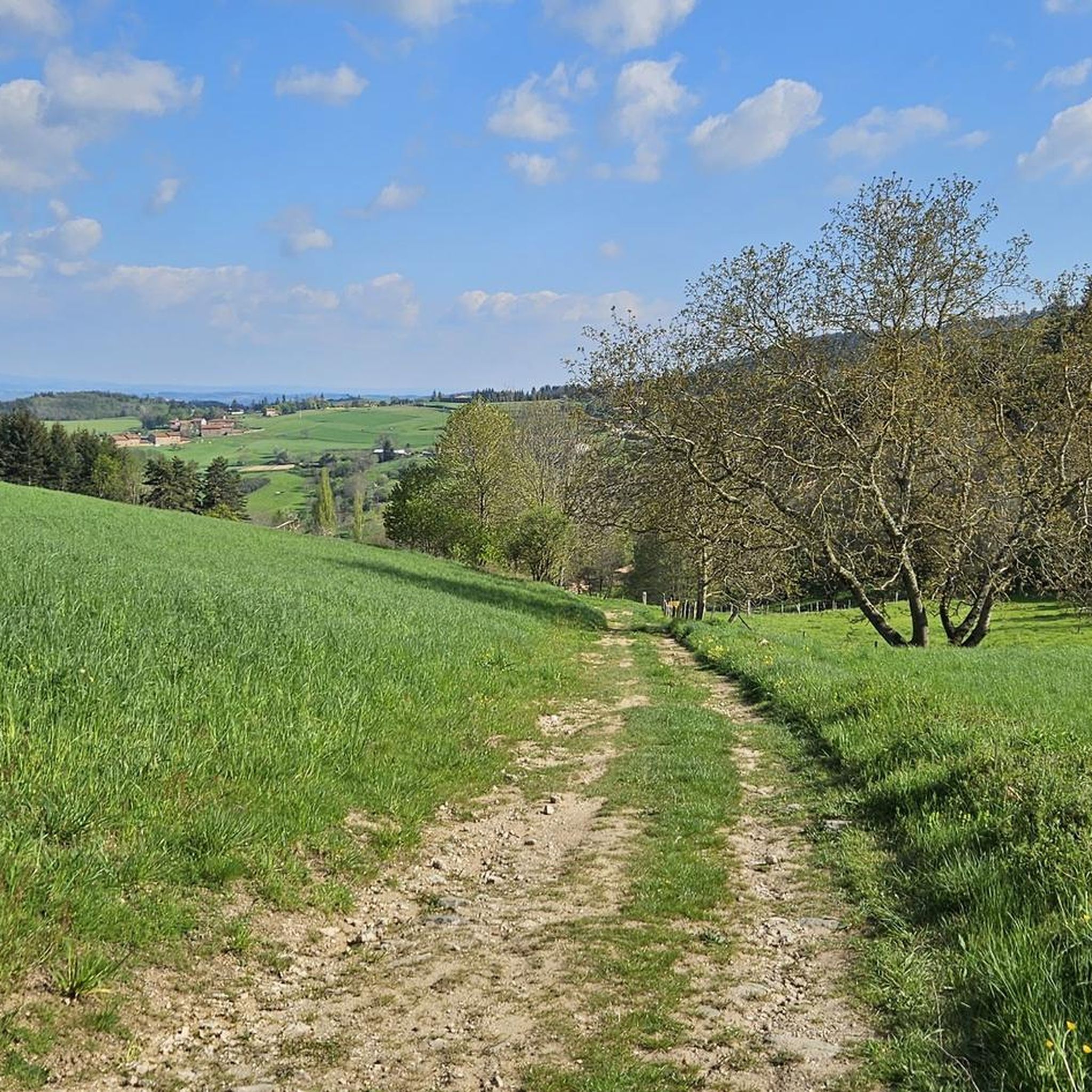
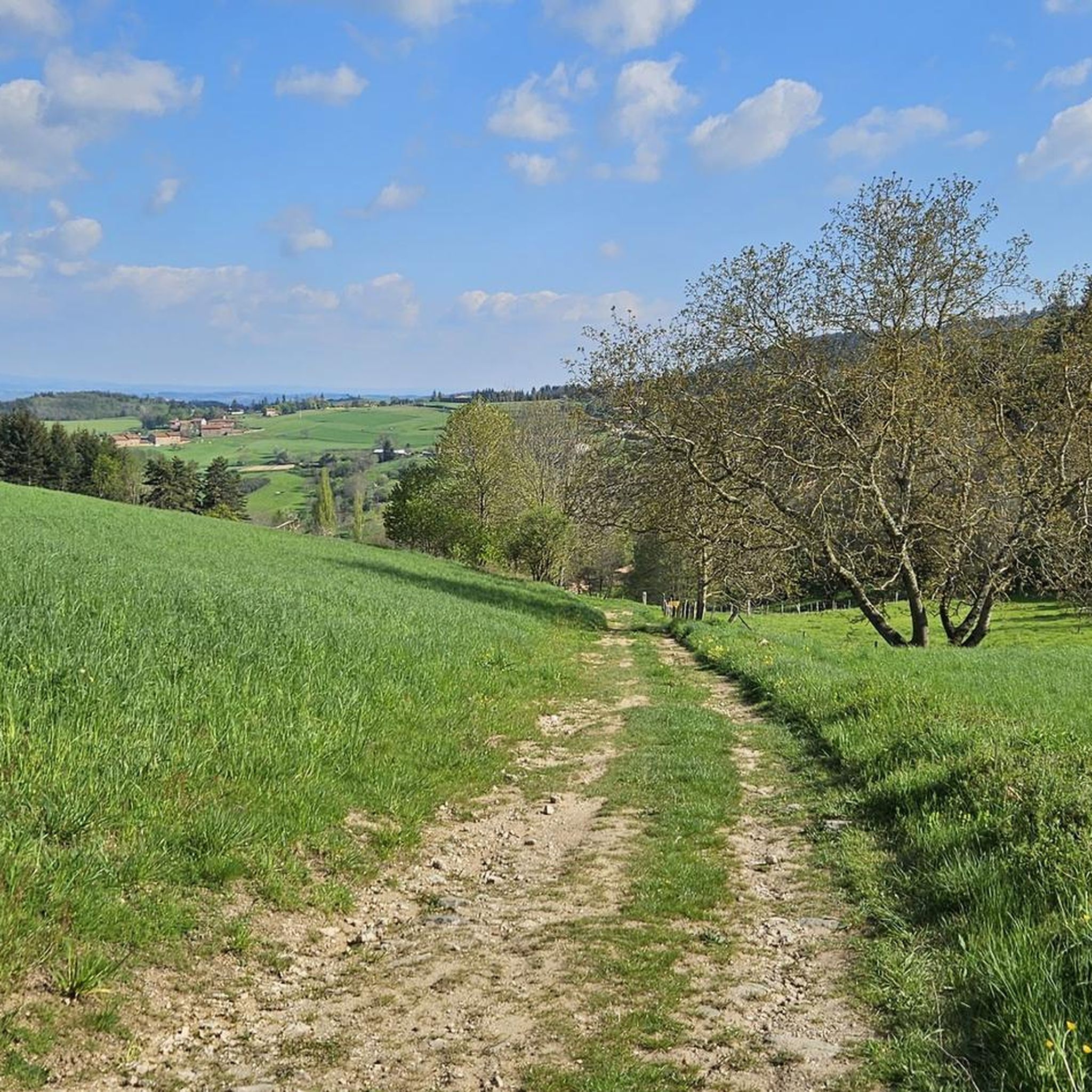
Road cycling routes around Saint-Jean-Soleymieux traverse the varied terrain of the Forez area in the Loire department of France. The region features a mix of roads suitable for different cycling preferences, including routes through the Hautes-Chaumes, along the Loire Gorges, and within the Bois Noirs forest. Cyclists encounter diverse landscapes, from forested environments to areas with varying gradients and panoramic views. The topography includes hills and crests, offering both challenging climbs and scenic backdrops.
Best road cycling routes around Saint-Jean-Soleymieux
…Last updated: July 1, 2026
5.0
(1)
69
riders
79.1km
04:25
1,760m
1,760m
Hard road ride. Very good fitness required. Some segments of this route may be unpaved and difficult to ride.
46
riders
63.0km
03:05
910m
900m
Hard road ride. Very good fitness required. Mostly well-paved surfaces and easy to ride.

Sign up for free
5.0
(1)
10
riders
39.9km
02:07
720m
720m
Moderate road ride. Good fitness required. Some segments of this route may be unpaved and difficult to ride.
7
riders
37.9km
02:01
720m
720m
Moderate road ride. Good fitness required. Mostly well-paved surfaces and easy to ride.
11
riders
69.0km
03:20
830m
830m
Moderate road ride. Good fitness required. Some segments of this route may be unpaved and difficult to ride.
Get access to more routes and recommendations from other explorers.
Sign up for free
Already have an account?
Our route recommendations are based on thousands of hikes, rides, and runs completed by other people on komoot.
Start today with a free account
Your next adventure awaits.
Login or Signup

Tips from the Community

Great view from Essalois castle.
0
0

Reserved for users of ravine paths with stones.
0
0

Magnificent village promoting artists and artisans... a super nice café: La Pause Marolaise
0
0

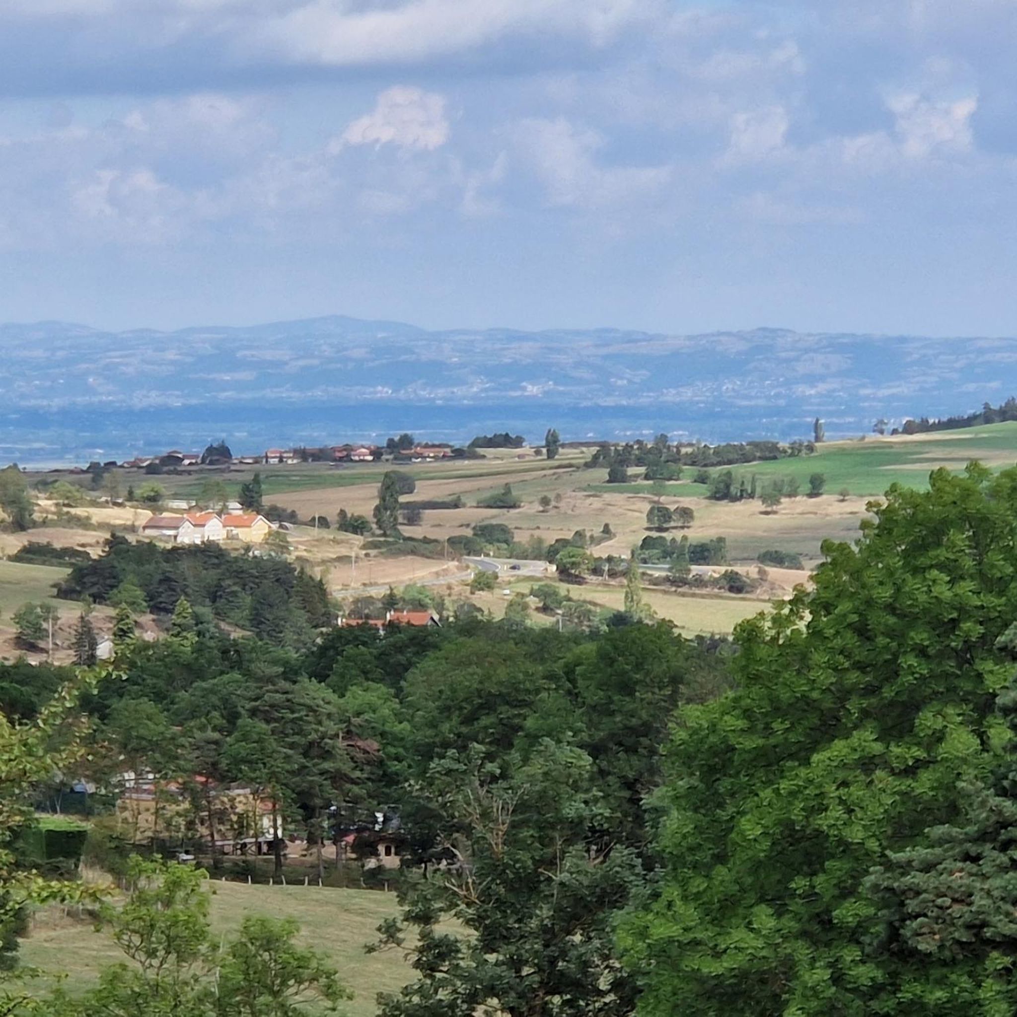
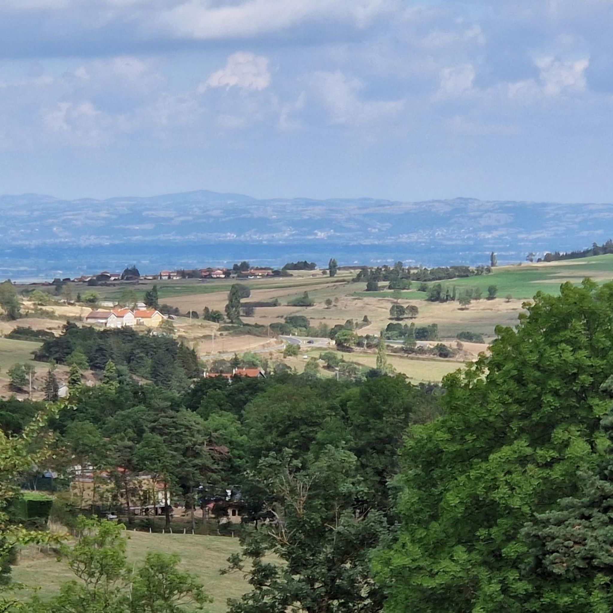
Very beautiful light especially in the evening, view of the plain and the Forez mountains
0
0

Surrounded by green hills and forests, this reservoir offers a peaceful setting for a stroll or a boat trip. The dam itself, with its panoramic views of the Loire Valley and the Château de Grangent, emerging from a small island, is a striking sight.
2
1
The view is superb, the surrounding paths are great!
0
0
Superb pass and a stone's throw away the Gîte des Gentianes offers you a snack, overnight meal... and a superb welcome.
1
0

Departure from the mountain bike circuit of the same name.
0
0
Frequently Asked Questions
What kind of terrain can I expect on road cycling routes around Saint-Jean-Soleymieux?
The region offers a diverse mix of terrain, from routes through the Hautes-Chaumes and along the Loire Gorges to forested environments within the Bois Noirs. You'll encounter varying gradients, hills, and crests, providing both challenging climbs and scenic backdrops for road cyclists.
Are there road cycling routes suitable for beginners or those looking for an easier ride?
Yes, while many routes offer challenges, there are options for different ability levels. The region research mentions routes described as 'very easy' and the guide data indicates there are 8 easy routes available, alongside 55 moderate and 33 difficult ones. This ensures a range of experiences for all cyclists.
What are some notable natural features or viewpoints I might encounter on a road cycling route?
Road cycling routes in the Forez area often feature picturesque views. You might pass by natural sites like the Col des Pradeaux, which offers scenic vistas. The Bois Noirs forest also provides a beautiful forested cycling environment, and the Perdrix and Oeillon Crests suggest hilly terrain with panoramic views.
Are there any cultural landmarks or villages to explore along the cycling routes?
Yes, several routes pass through or near charming locations. For instance, the 1900 School Museum – Saint-Jean Church, Ambert loop from La Chapelle-en-Lafaye leads through cultural landmarks. You can also find highlights like the village of Montarcher and Marols, or the Saint-Thomas Church.
What do other road cyclists say about the routes in Saint-Jean-Soleymieux?
The road cycling routes in Saint-Jean-Soleymieux are highly rated by the komoot community, with an average score of 4.2 stars from over 20 reviews. Nearly 1000 road cyclists have used komoot to explore the varied terrain, often praising the diverse landscapes and options for different ability levels.
Are there any long-distance road cycling routes available in the area?
Yes, you can find longer routes for more endurance-focused rides. For example, the 1900 School Museum – Saint-Jean Church, Ambert loop from La Chapelle-en-Lafaye is a substantial 98.6 km (61.3 miles) trail, offering a significant distance for road cyclists.
Can I find circular road cycling routes around Saint-Jean-Soleymieux?
Many of the routes in the area are designed as loops, allowing you to start and finish in the same location. An example is the Marols Village – Grangent Dam loop from Margerie-Chantagret, which is a 63.0 km (39.1 miles) circular trail.
What is the best season for road cycling in Saint-Jean-Soleymieux?
While specific seasonal closures are not noted, the varied terrain of the Forez area makes it enjoyable across different seasons. Spring and autumn generally offer pleasant temperatures and beautiful scenery, while summer provides longer daylight hours. Always check local weather conditions before heading out.
Are there challenging climbs for experienced road cyclists?
Absolutely. The region's topography includes hills and crests that provide challenging climbs. The Col des Pradeaux – Col des Supeyres loop from Gumières, for instance, is a difficult 79.1 km (49.2 miles) path featuring climbs over two mountain passes, ideal for those seeking a demanding ride.
How many road cycling routes are available in total around Saint-Jean-Soleymieux?
There are over 90 road cycling routes available around Saint-Jean-Soleymieux, offering a wide variety of distances, difficulty levels, and scenic experiences for cyclists to explore.
Is there a route that combines village exploration with natural features?
Yes, the Marols Village – Grangent Dam loop from Margerie-Chantagret is a difficult route that offers a scenic loop incorporating the charming village of Marols and the impressive Grangent Dam, blending cultural and natural highlights.
Can I find routes that offer significant elevation gain?
Many routes in the Forez area feature substantial elevation gain due to the hilly terrain. For example, the Col des Pradeaux – Col des Supeyres loop from Gumières includes over 1700 meters of ascent, providing a significant challenge for climbers.
Most popular routes around Saint-Jean-Soleymieux
Most popular attractions around Saint-Jean-Soleymieux

Get inspired with the komoot mobile app


Explore more
Browse the best Road cycling routes in other regions.
