The best walks and hikes around Valfleury
4.6
(450)
2,320
hikers
17
hikes
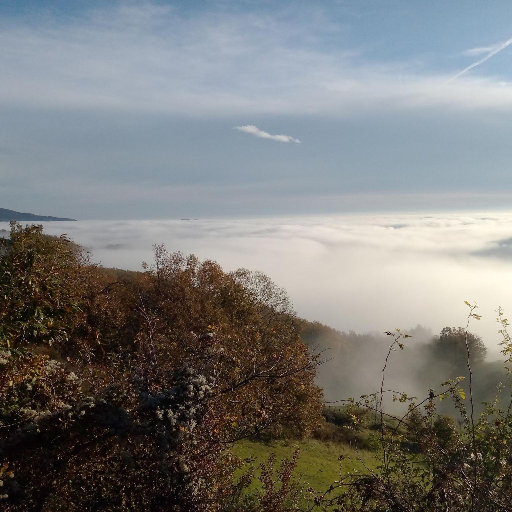
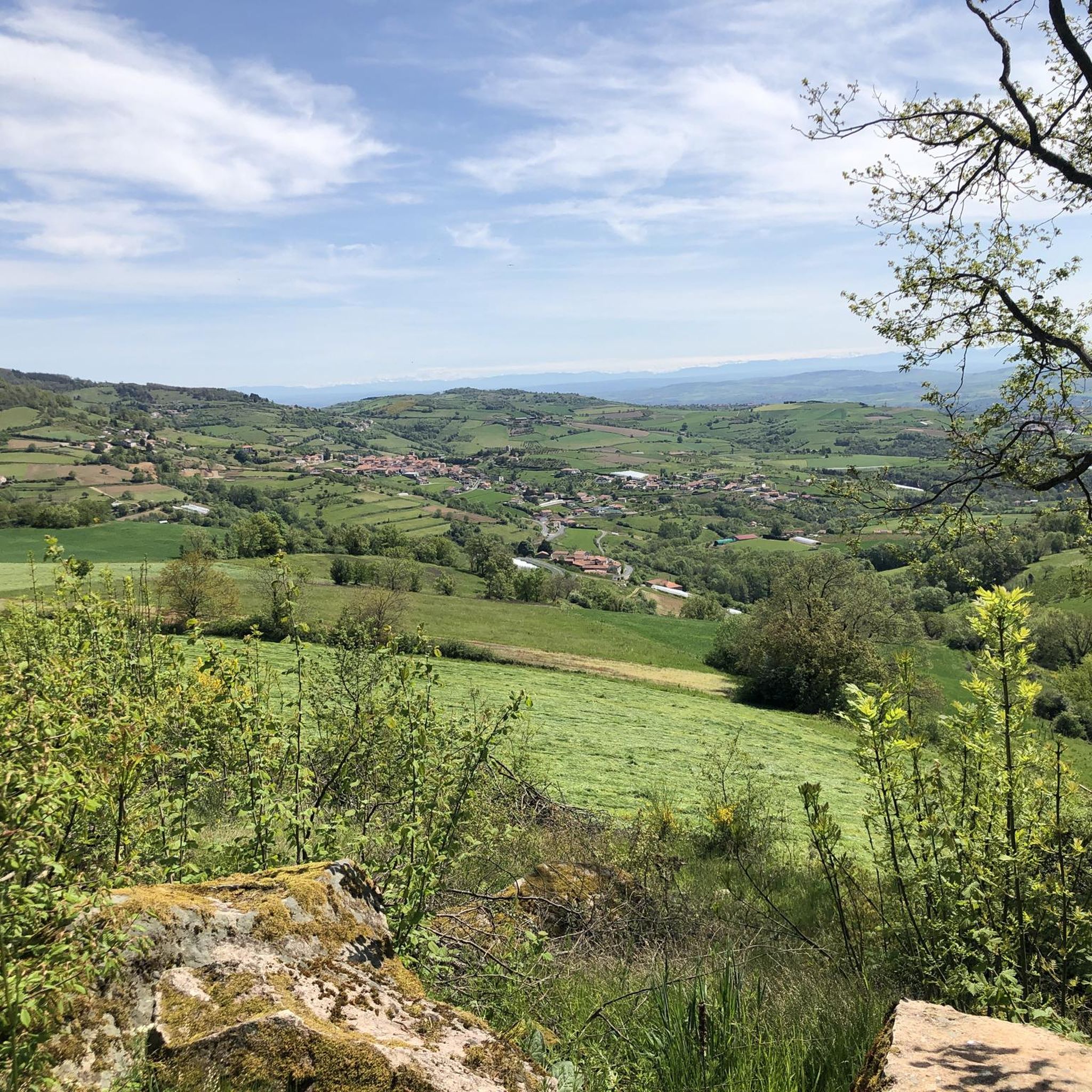
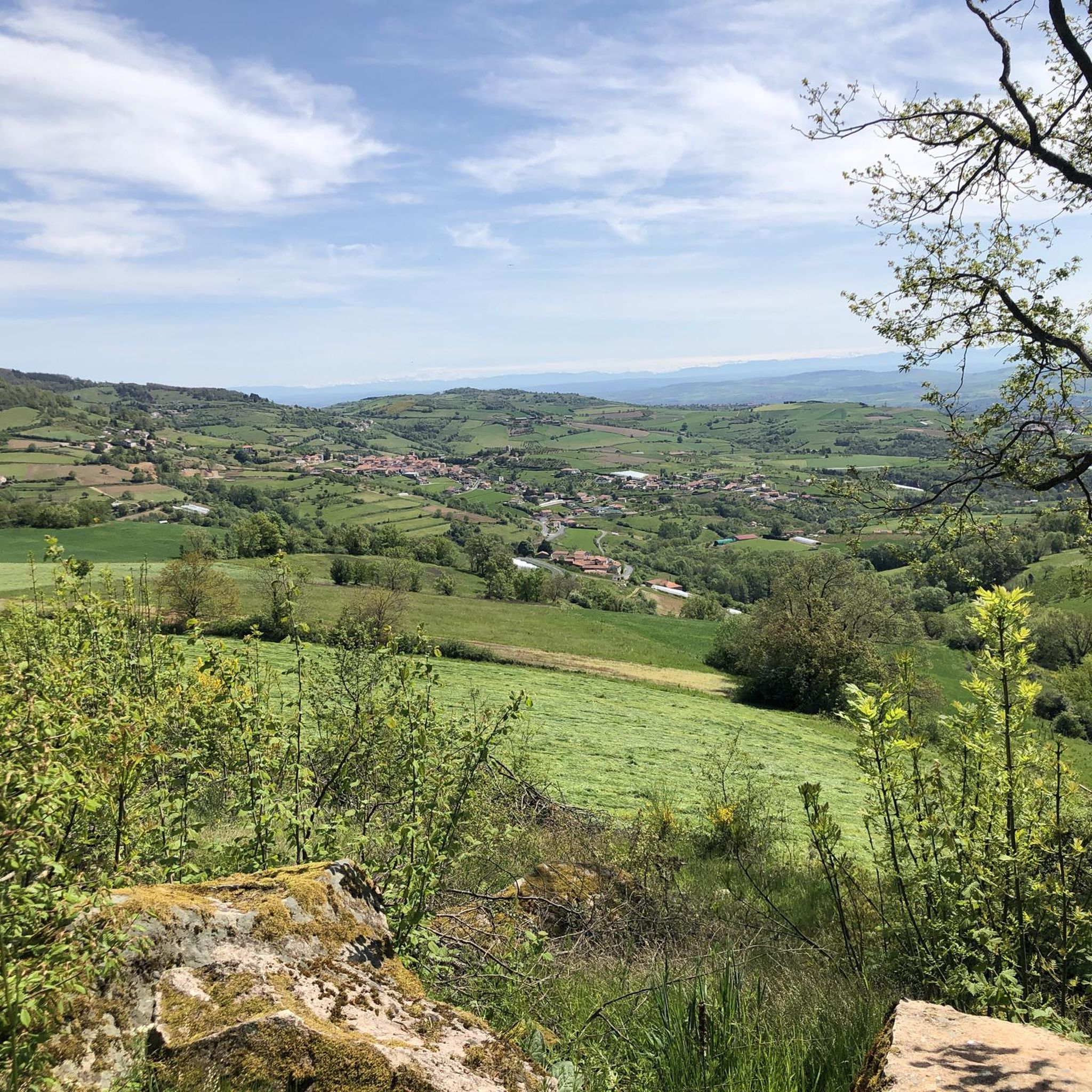
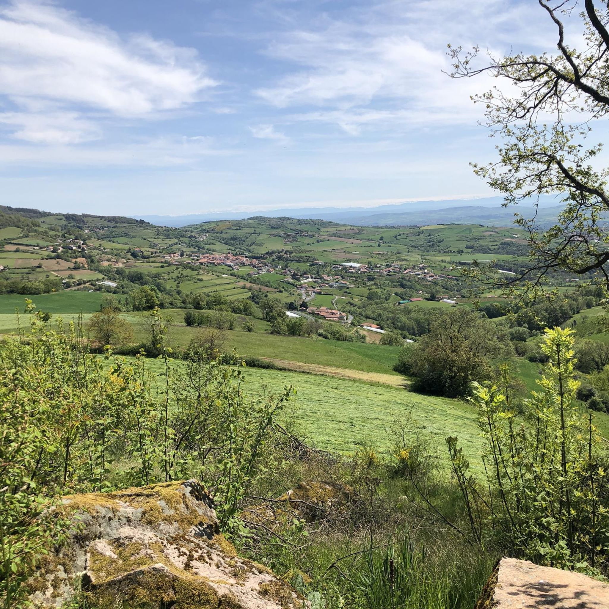
Hiking around Valfleury offers diverse landscapes within the Loire department of France. The commune is situated on a rugged edge of the Gier valley, providing varied topography and scenic viewpoints. Hikers can experience panoramic vistas over the Gier valley, the Rhône, and the Pilat Natural Regional Park. The area also features historical elements, including sections of a Roman aqueduct.
Best hiking trails around Valfleury
- The most popular hiking route is White cross – The White Cross of Céliheu loop from…
Last updated: May 12, 2026
4.6
(7)
39
hikers
15.7km
04:44
500m
500m
Moderate hike. Good fitness required. Easily-accessible paths. Suitable for all skill levels.
5.0
(7)
29
hikers
9.09km
02:38
230m
240m
Moderate hike. Good fitness required. Easily-accessible paths. Suitable for all skill levels.

Sign up for free
4.9
(9)
26
hikers
10.9km
03:12
300m
300m
Moderate hike. Good fitness required. Easily-accessible paths. Suitable for all skill levels.
5.0
(4)
16
hikers
15.5km
04:40
490m
490m
Moderate hike. Good fitness required. Easily-accessible paths. Suitable for all skill levels.
4.3
(3)
18
hikers
11.3km
03:12
240m
220m
Moderate hike. Good fitness required. Easily-accessible paths. Suitable for all skill levels.
Get access to more routes and recommendations from other explorers.
Sign up for free
Already have an account?
Our route recommendations are based on thousands of hikes, rides, and runs completed by other people on komoot.
Start today with a free account
Your next adventure awaits.
Login or Signup

Tips from the Community

on the watershed between the ocean and the Mediterranean
0
0


Pleasant and friendly especially when the weather is nice
0
0
Super beautiful and pleasant in good weather
0
0

Beautiful hike without difficulty with beautiful viewpoints
0
0

Pilat and Alps viewpoint
0
0

Accessible from the pretty village of Valfleury
0
0

The Col de la Gachet from Lorette is 11.04 km long with a total drop of 463 m. The average gradient is 4.19% with maximum gradients of 7.6%.
1
0
Frequently Asked Questions
How many hiking trails are available in Valfleury?
Valfleury offers a network of 18 hiking trails. These routes cater to various skill levels, ranging from easy strolls to more moderate treks through the diverse landscapes of the Gier valley.
What kind of landscapes and views can I expect while hiking in Valfleury?
Hikers in Valfleury can expect diverse landscapes, including rugged terrain along the Gier valley. Many trails offer expansive panoramic views that stretch across the Gier valley, the Rhône, and even extend to the Pilat Natural Regional Park. You'll also encounter historical elements, such as sections of a Roman aqueduct, integrated into the natural scenery.
Are there easy hiking trails suitable for beginners or casual walkers in Valfleury?
Yes, Valfleury has several easy hiking trails. For instance, the Col de la Gachet – Rocaille Crypt of Valfleury loop from Valfleury is an easy 5.4 km route, perfect for a less strenuous walk while still enjoying the area's beauty.
What do other hikers enjoy most about the trails in Valfleury?
The trails in Valfleury are highly rated by the komoot community, with an average score of 4.6 stars from over 400 reviews. Hikers often praise the varied terrain, the extensive panoramic views across the valleys, and the well-maintained, clearly marked paths that make exploring the region enjoyable.
Are there any circular hiking routes in Valfleury?
Yes, many of the trails in Valfleury are circular routes, allowing you to start and end in the same location. Popular options include the White cross – The White Cross of Céliheu loop from Valfleury and the Valfleury Town Hall loop from Valfleury, both offering comprehensive tours of the area's natural and village scenery.
What historical sites or landmarks can I see near the hiking trails?
Valfleury's hiking trails offer glimpses of historical elements, notably sections of a Roman aqueduct. Additionally, nearby attractions include the Gold Mine of Saint-Joseph, the charming settlement of Saint-Symphorien-sur-Coise, and the Couzon Dam.
Are there any viewpoints with exceptional panoramic views?
Absolutely. Valfleury is known for its panoramic viewpoints. The White cross is a notable viewpoint, and many trails, such as the White cross – The White Cross of Céliheu loop from Valfleury, are specifically highlighted for their extensive views across the surrounding valleys and towards the Pilat Natural Regional Park.
What is the best time of year to go hiking in Valfleury?
Valfleury offers enjoyable hiking experiences throughout much of the year. While specific seasonal advice isn't provided, the varied terrain and panoramic views suggest that spring and autumn would be ideal for comfortable temperatures and vibrant scenery. Summer can also be pleasant, especially in the mornings or late afternoons, while winter hikes might offer a different, serene perspective, though some paths could be more challenging.
Are there any family-friendly hiking options in Valfleury?
While specific 'family-friendly' designations aren't listed, the presence of easy trails like the Col de la Gachet – Rocaille Crypt of Valfleury loop from Valfleury (5.4 km, easy difficulty) suggests that these shorter, less strenuous options would be suitable for families with children or those looking for a relaxed outing.
Is public transport available to access the hiking trails in Valfleury?
The region research indicates that Valfleury is a commune in the Loire department, but specific public transport links directly to trailheads are not detailed. It's generally recommended to check local transport schedules for buses or trains connecting to Valfleury, which may require a short walk or taxi ride to reach specific starting points.
Where can I park when visiting Valfleury for hiking?
While specific parking locations for individual trailheads are not provided, Valfleury is a commune, and typically, parking can be found near the town hall or other public areas within the village. It's advisable to look for designated parking spots upon arrival in Valfleury, especially near the starting points of popular routes.
Are there any challenging hikes for experienced hikers in Valfleury?
Valfleury's terrain includes ascents and descents that add to the hiking experience, making some routes more challenging. While there are no trails explicitly rated as 'difficult' in the provided data, the 15 moderate routes, such as the White cross – The White Cross of Céliheu loop from Valfleury (15.7 km with over 500m elevation gain), offer a good workout for experienced hikers.
Most popular routes around Valfleury
Most popular attractions around Valfleury

Get inspired with the komoot mobile app


Explore more
Browse the best Hikes in other regions.
