The best road cycling routes around Bad Dürrheim
4.4
(37)
2,581
riders
58
rides
Road cycling around Bad Dürrheim offers diverse terrain across the high Baar plateau, situated between the Black Forest and the Swabian Alb. The region features expansive views, often extending to the Feldberg and even the Swiss Alps on clear days, providing scenic backdrops for rides. Cyclists can explore areas near the edge of the Black Forest, tranquil natural settings like Salinen lake, and the unique geological feature of Höwenegg Crater Lake. The landscape includes both flat sections and routes with…
Last updated: September 2, 2026
5.0
(1)
681
riders
16.6km
00:47
200m
200m
Easy road ride. Great for any fitness level. Mostly well-paved surfaces and easy to ride.
98
riders
8.19km
00:26
120m
120m
Easy road ride. Great for any fitness level. Mostly well-paved surfaces and easy to ride.

Sign up for free
106
riders
22.0km
01:05
300m
300m
Easy road ride. Great for any fitness level. Mostly well-paved surfaces and easy to ride.
64
riders
8.58km
00:24
90m
90m
Moderate road ride. Great for any fitness level. Some segments of this route may be unpaved and difficult to ride.
4.3
(4)
57
riders
63.4km
02:37
380m
380m
Moderate road ride. Good fitness required. Mostly well-paved surfaces and easy to ride.
Get access to more routes and recommendations from other explorers.
Sign up for free
Already have an account?
Our route recommendations are based on thousands of hikes, rides, and runs completed by other people on komoot.
Start today with a free account
Your next adventure awaits.
Login or Signup
Popular around Bad Dürrheim
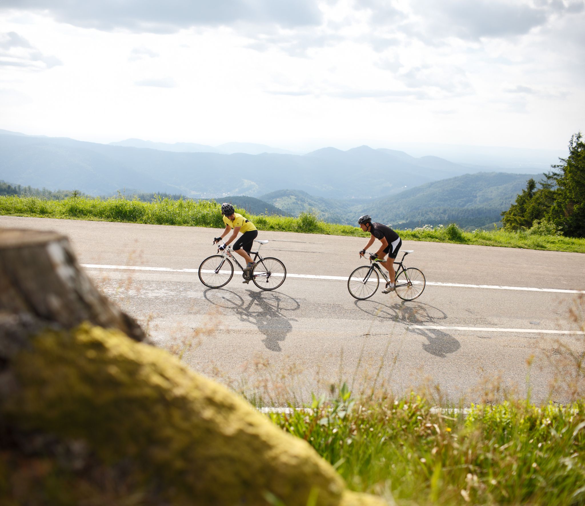
Experience the south of Germany on the Future Racing Bike Pros’ routes
The Eastern Path of the Black Forest Association
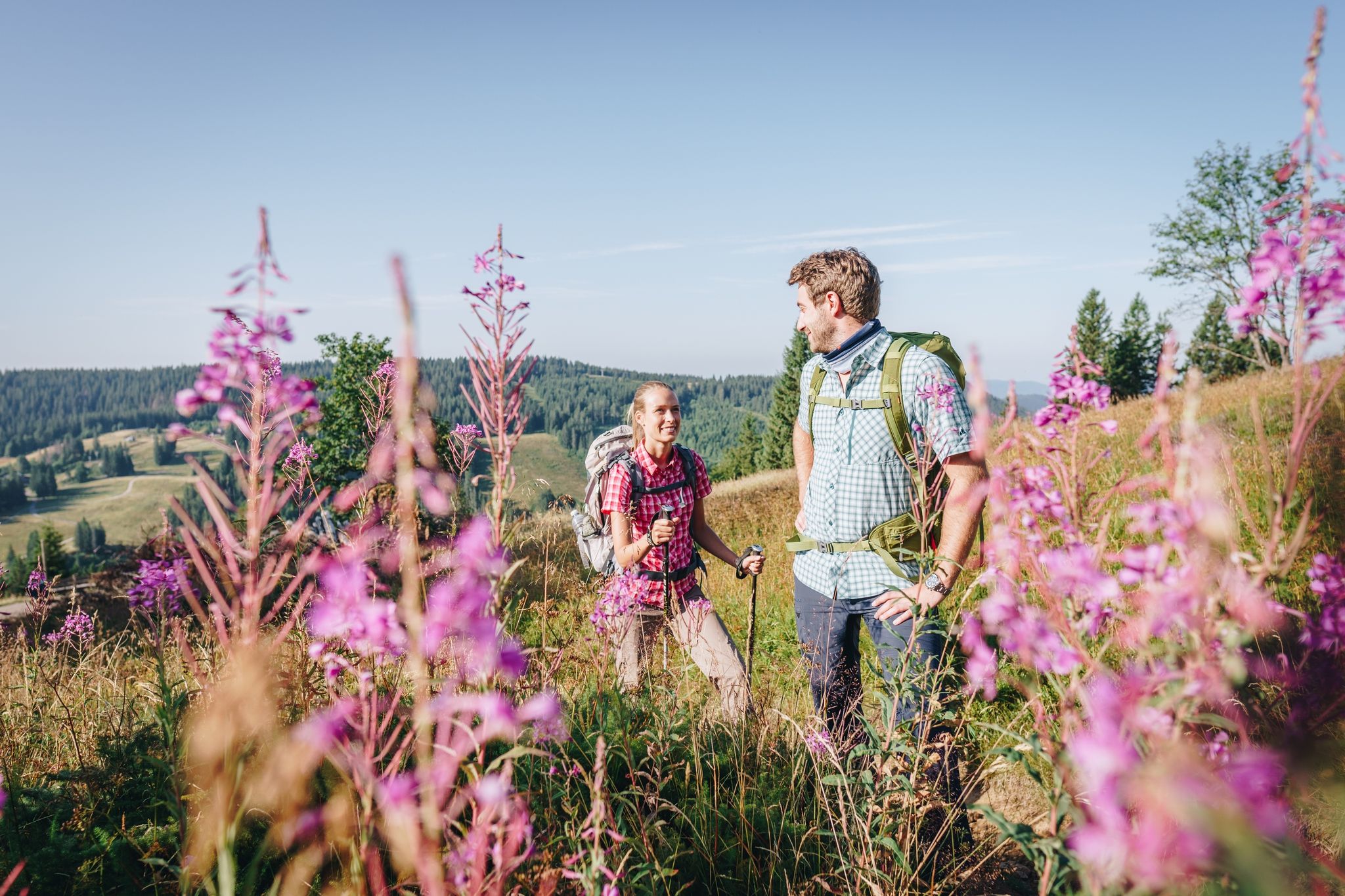
Wonderful hiking – discover the Black Forest’s culture, history, and nature
The Schwarzwald-Jura-Bodensee Weg
Hiking around Bad Dürrheim
Cycling around Bad Dürrheim
Running Trails around Bad Dürrheim
MTB Trails around Bad Dürrheim

Gravel biking around Bad Dürrheim
Other adventures around Bad Dürrheim


Tips from the Community

The Catholic parish church of St. Johann (fully St. Johannes der Täufer und St. Mauritius) is the visual and spiritual center of the core town of Bad Dürrheim. With its pointed church tower, visible from afar, it shapes the cityscape of the spa town. Medieval roots: The original village church at this site was dedicated to the Archangel Michael in the Middle Ages. The Knights Hospitaller: When the town came under the administration of the Knights Hospitaller, a new church was built between 1660 and 1665. With this new construction, the patronage changed to the order's patron, Saint John the Baptist, as well as Saint Maurice. Destruction and reconstruction: In 1715, the church building was completely destroyed in a devastating town fire. The present historic core building was then rebuilt and consecrated in 1723.
0
0

no more water... and continue along the Danube to Donaueschingen
0
0

nothing to see of water
0
0

Here you can test your skills across three difficulty levels.
8
0
A mix of modern and historical interior design
7
0

Incredibly impressive, both with and without water.
1
0
Along the railway line, top surface!
1
0

The signs provide good orientation and getting lost is practically impossible.
0
0
Frequently Asked Questions
How many road cycling routes are available around Bad Dürrheim?
There are over 50 road cycling routes around Bad Dürrheim, offering diverse experiences for cyclists. These include 30 easy routes and 25 moderate routes, catering to various fitness levels.
What kind of terrain can I expect when road cycling in Bad Dürrheim?
The region features varied terrain across the high Baar plateau, with both flat sections and routes involving significant elevation gains. You'll find expansive views, often extending to the Feldberg and even the Swiss Alps on clear days. The area borders the Black Forest, providing access to its scenic beauty and varied cycling paths, predominantly on paved surfaces.
Are there any easy road cycling routes suitable for beginners or families in Bad Dürrheim?
Yes, Bad Dürrheim offers many easy routes perfect for beginners or families. An excellent option is the Hirschhalde Cycle Path loop from Bad Dürrheim, an easy 7.2 km route with minimal elevation, providing a gentle introduction to the area's landscapes.
What are some scenic viewpoints or natural features to look out for on road cycling routes?
Road cycling routes around Bad Dürrheim offer stunning vistas. You can enjoy expansive views across the Baar plateau, often reaching the Feldberg and even the Swiss Alps on clear days, especially from elevated areas like Öfingen. Natural features include the tranquil Salinen lake and the unique geological formation of Michelsloch sinkhole, a result of ancient volcanic activity.
What do other road cyclists enjoy most about road cycling in Bad Dürrheim?
The area is highly rated by the komoot community, with an average score of 4.4 stars from over 20 reviews. Cyclists frequently praise the diverse terrain, from gentle rolling countryside to routes with significant elevation, and the expansive scenic views across the Baar plateau.
Are there any circular road cycling routes in the Bad Dürrheim area?
Yes, many routes around Bad Dürrheim are designed as loops. For example, the Sunthauser Lake – Cycling Junction 43 Öfingen loop from Bad Dürrheim is a moderate 31.6 km route that takes you through varied landscapes, including the vicinity of Sunthauser Lake.
What kind of landmarks or attractions can I see along the road cycling routes?
While cycling, you can discover various points of interest. Near some routes, you might find natural monuments like the Michelsloch sinkhole. For cultural stops, the Wartenberg Capuchin Hermitage offers a glimpse into local heritage. The Spa Gardens (Kurpark) in Bad Dürrheim, with its graduation tower, also provides a pleasant stop.
When is the best time of year for road cycling in Bad Dürrheim?
Bad Dürrheim, recognized as a therapeutic climate health resort, enjoys many hours of sunshine. The spring, summer, and early autumn months generally offer the most pleasant weather conditions for road cycling, allowing you to fully appreciate the expansive views and excellent air quality.
Are there any moderate road cycling challenges around Bad Dürrheim?
Absolutely. For those seeking a moderate challenge, the Sunthauser Lake – Hirschhalde Cycle Path loop from Bad Dürrheim is a popular choice. This 28.5 km route winds through varied landscapes and includes some elevation gain, making it a rewarding ride for experienced cyclists.
Can I find places to relax or recover after a long ride in Bad Dürrheim?
Yes, Bad Dürrheim is well-equipped for relaxation. As Europe's highest saltwater spa, it offers the Solemar Therme, a wellness center with thermal baths and saunas, perfect for muscle recovery. The Spa Gardens (Kurpark) also provide tranquil spaces for leisurely rides or relaxation.
Are there any road cycling routes that pass by lakes or water features?
Yes, several routes incorporate water features. The Hirschhalde Cycle Path – Sunthauser Lake loop from Sunthausen, for instance, leads through the Baar plateau and offers views of Sunthauser Lake, providing a refreshing element to your ride.
Most popular routes around Bad Dürrheim
Most popular attractions around Bad Dürrheim

Get inspired with the komoot mobile app


Explore more
Browse the best Road cycling routes in other regions.
