The best walks and hikes around Saint-Vallier
4.7
(114)
596
hikers
95
hikes
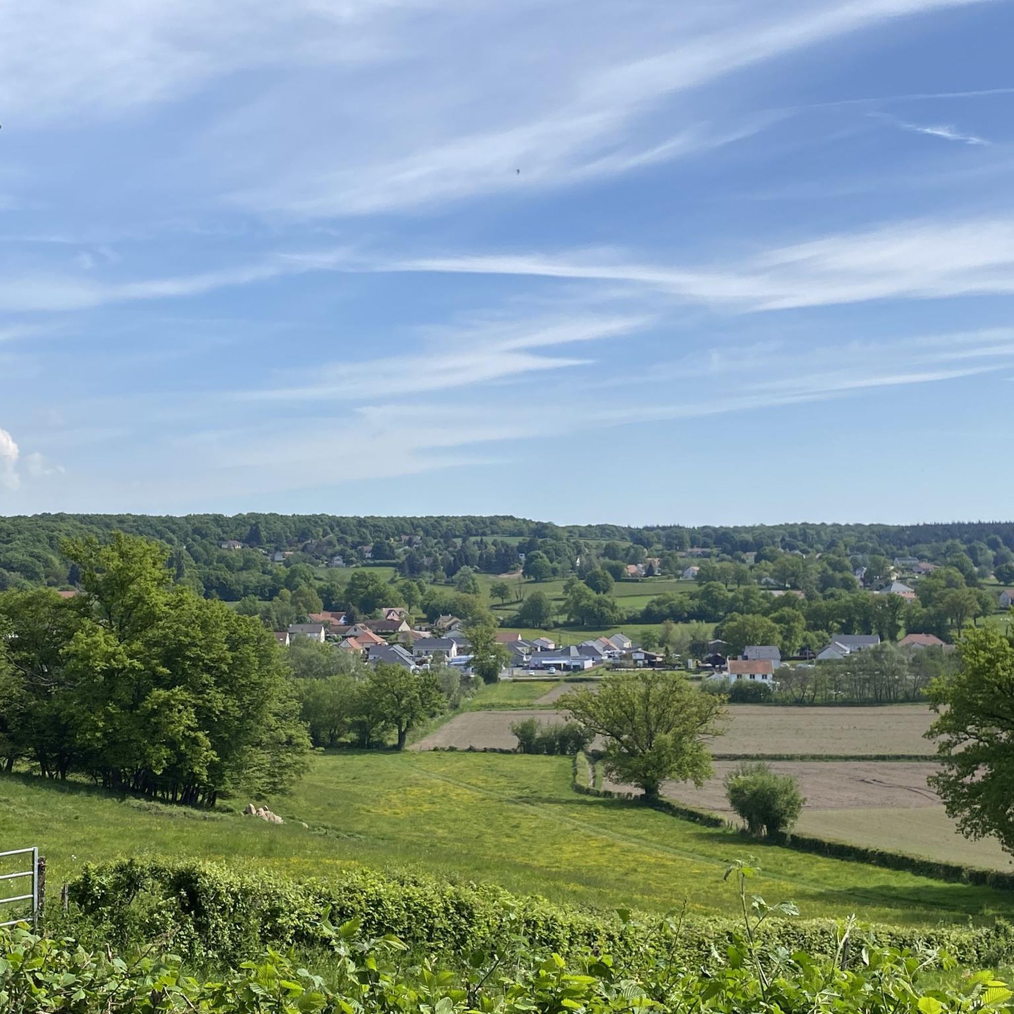
Hiking trails around Saint-Vallier, located in the Bourgogne-Franche-Comté region, primarily feature a gently rolling landscape. The area is characterized by a mix of forests, open fields, and numerous small ponds and waterways. Elevation changes are generally modest, making the terrain accessible for various hiking abilities.
Best hiking trails around Saint-Vallier
- The most popular hiking route is Découverte Saint-Amédée loop from Sanvignes-les-Mines, a 1.8 miles (2.9 km) trail that takes 45 minutes to complete. This easy route explores the local…
Last updated: June 22, 2026
4.6
(5)
39
hikers
Easy hike. Great for any fitness level. Easily-accessible paths. Suitable for all skill levels.
4.8
(5)
28
hikers
2.89km
00:47
40m
40m
Easy hike. Great for any fitness level. Easily-accessible paths. Suitable for all skill levels.

Sign up for free
5.0
(4)
17
hikers
6.72km
01:51
110m
110m
Easy hike. Great for any fitness level. Easily-accessible paths. Suitable for all skill levels.
5.0
(3)
15
hikers
9.96km
02:37
80m
80m
Moderate hike. Good fitness required. Easily-accessible paths. Suitable for all skill levels.
5.0
(2)
18
hikers
Moderate hike. Good fitness required. Easily-accessible paths. Suitable for all skill levels.
Get access to more routes and recommendations from other explorers.
Sign up for free
Already have an account?
Our route recommendations are based on thousands of hikes, rides, and runs completed by other people on komoot.
Start today with a free account
Your next adventure awaits.
Login or Signup


Other adventures around Saint-Vallier

Tips from the Community

Very nice city center, small pedestrian zone
0
0
Quite a large harbor in front of the city. Nice for a photo
0
0
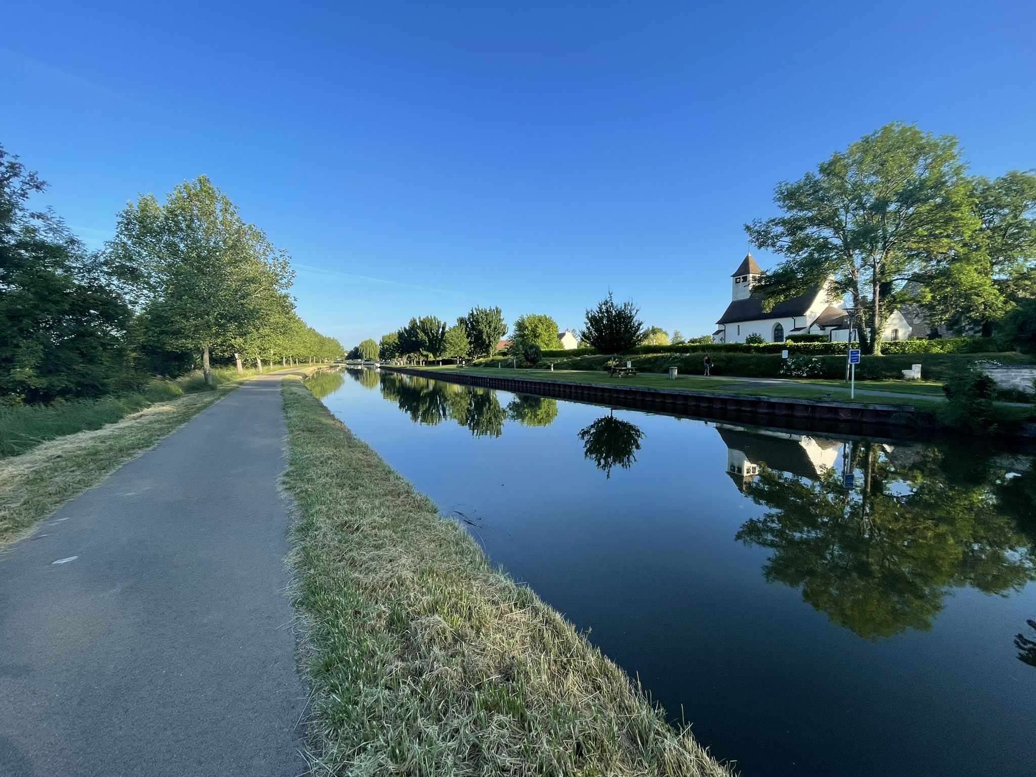
Very nice design, without traffic over the canal
0
0

Great for getting back in shape.
3
0


Montceau-les-Mines is a city born from coal. Here you can visit the Mining Museum or the Aillot factory, which houses a collection of old vehicles.
0
0
Nice city right on the canal. City center worth seeing with a small port
0
0
Frequently Asked Questions
How many hiking trails are available around Saint-Vallier?
There are nearly 100 hiking trails around Saint-Vallier, offering a wide range of options for different abilities. You'll find 50 easy routes, 41 moderate excursions, and 5 more challenging paths.
What is the general terrain like for hiking in Saint-Vallier?
The terrain around Saint-Vallier is characterized by a gently rolling landscape, featuring a pleasant mix of forests, open fields, and numerous small ponds and waterways. Elevation changes are generally modest, making the area accessible for various hiking abilities.
Are there any easy, family-friendly hikes in Saint-Vallier?
Yes, Saint-Vallier offers many easy routes suitable for families. For example, the Découverte Saint-Amédée loop from Sanvignes-les-Mines is an easy 1.8-mile (2.9 km) trail that takes about 45 minutes to complete, perfect for a short outing.
Are there any circular walks available in Saint-Vallier?
Many of the trails in Saint-Vallier are designed as circular loops, allowing you to start and end at the same point. A popular option is the Small Pond loop from La Croix Rabot, an easy 4.2-mile (6.7 km) path offering views of a tranquil pond.
What do other hikers enjoy most about the trails in Saint-Vallier?
The hiking trails in Saint-Vallier are highly rated by the komoot community, with an average score of 4.7 stars from over 100 reviews. Hikers often praise the tranquil pond-side paths, the gentle terrain, and the peaceful forested sections.
Are there any longer, more challenging hikes for experienced hikers?
While the region is known for its gentle terrain, there are some longer, moderate options. The Petite Forêt du Plessis – Grande Forêt du Plessis loop from Montceau-les-Mines is a moderate 8.9-mile (14.3 km) route that offers a longer excursion through the local forests.
What kind of natural features can I expect to see on the trails?
Hikers can expect to encounter a variety of natural features, including serene forests, open fields, and numerous small ponds and waterways. The landscape provides a peaceful setting for outdoor exploration.
Are there any trails that pass by water features?
Yes, many trails in Saint-Vallier feature ponds and waterways. The Plan d'eau des Fouthiaux loop from Dormoy is a moderate 6.1-mile (9.8 km) route that takes you around a beautiful body of water.
Are there any interesting landmarks or attractions near the hiking trails?
Yes, there are several points of interest nearby. You could visit the Demarcation Line Interpretation Center for historical context, or explore the Canal du Centre, which offers pleasant waterside walks.
What is the typical duration for hikes in Saint-Vallier?
Hikes in Saint-Vallier vary in duration depending on the route and your pace. Easy trails like the Découverte Saint-Amédée loop can be completed in under an hour, while longer moderate routes might take several hours, such as the Petite Forêt du Plessis – Grande Forêt du Plessis loop, which typically takes over 3 hours.
Are there any urban or mixed-terrain routes?
Yes, some routes combine natural areas with urban elements. The Blue Drawbridge – Pedestrian and Bicycle Bridge loop from Montceau-les-Mines is a 4.8-mile (7.7 km) trail that leads through both urban and natural areas, often completed in about 2 hours.
Most popular attractions around Saint-Vallier

Get inspired with the komoot mobile app


Explore more
Browse the best Hikes in other regions.
