The best walks and hikes around Montureux-Et-Prantigny
4.4
(18)
125
hikers
26
hikes
Hiking around Montureux-Et-Prantigny offers access to the diverse natural landscapes of the Haute-Saône department in eastern France. The region features extensive forests, winding rivers like the Saône, and rolling countryside. Hikers can explore varied terrains, including riverbanks and undulating plains. This area is also known for the unique glacial landscape of the Plateau des 1000 Étangs, characterized by numerous ponds and wetlands.
Best hiking trails around Montureux-Et-Prantigny
- The most popular hiking route is Pont de Pierre of Gray loop from…
Last updated: July 4, 2026
5.0
(1)
19
hikers
11.0km
02:48
40m
30m
Moderate hike. Good fitness required. Easily-accessible paths. Suitable for all skill levels.
5.0
(1)
17
hikers
10.1km
02:33
20m
20m
Moderate hike. Good fitness required. Easily-accessible paths. Suitable for all skill levels.

Sign up for free
4.0
(2)
28
hikers
Easy hike. Great for any fitness level. Easily-accessible paths. Suitable for all skill levels.
4.0
(1)
6
hikers
Easy hike. Great for any fitness level. Easily-accessible paths. Suitable for all skill levels.
5.0
(2)
7
hikers
9.69km
02:27
20m
20m
Moderate hike. Good fitness required. Easily-accessible paths. Suitable for all skill levels.
Get access to more routes and recommendations from other explorers.
Sign up for free
Already have an account?
Our route recommendations are based on thousands of hikes, rides, and runs completed by other people on komoot.
Start today with a free account
Your next adventure awaits.
Login or Signup


Tips from the Community

A tranquil French town.
3
0

This magnificent stone bridge built in 1647 was destroyed several times. It is the main entrance to the town of Gray. The extract from the city's cadastre dated 1851 mentions: "The Saône bridge is one of the buildings which cost the city of Gray the most. In 1358, water and ice having completely ruined it, it was necessary , to restore it, more than three hundred gold florins. "
1
0

In Gray, a stone bridge with thirteen arches leads across the Saône, which was built from 1750 to 1758 on the site of a wooden bridge that was destroyed several times by wars and floods.
4
3
Frequently Asked Questions
What kind of terrain can I expect on hikes around Montureux-Et-Prantigny?
The region offers diverse terrain, primarily characterized by extensive forests, tranquil riverbanks along the Saône, and rolling countryside. You'll find paths that wind through undergrowth, open fields, and along waterways, providing a mix of natural landscapes. The broader Haute-Saône department also features unique areas like the Plateau des 1000 Étangs with its numerous ponds and wetlands, and the geological formations of La Serre Forest.
Are there any easy hiking trails suitable for beginners or casual walkers?
Yes, there are several easy options. For instance, the Pont de Pierre of Gray – View of the Saône River in Gray loop from Gray is an easy 4.2 km (2.6 miles) trail that takes about 1 hour 4 minutes to complete, offering pleasant riverine scenery. Another easy option is the View of the Saône River in Gray – Pont de Pierre of Gray loop from Gray, which is 2.6 km (1.6 miles) long.
What natural features or landmarks can I see while hiking in the area?
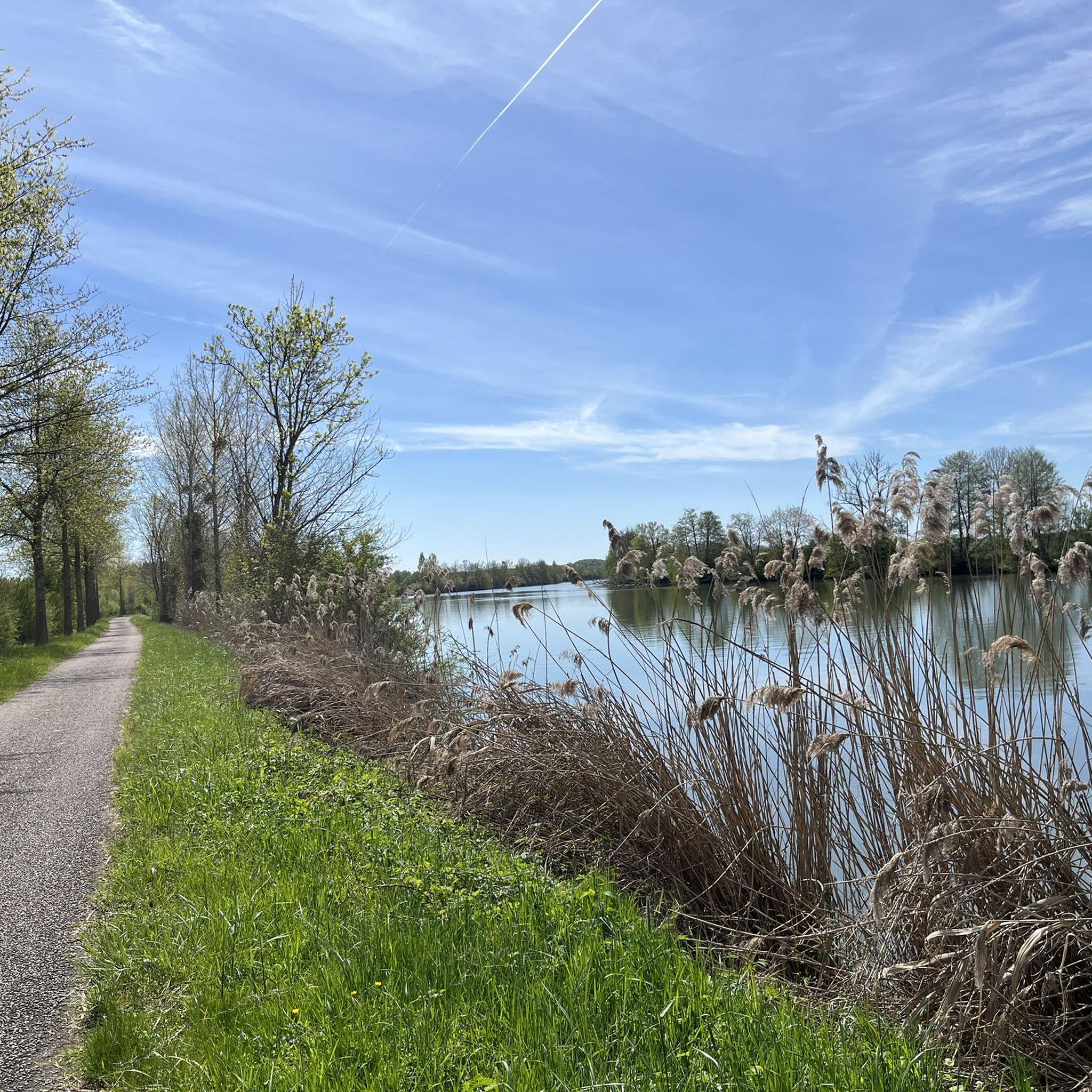
Hiking around Montureux-Et-Prantigny offers opportunities to explore the scenic Saône River, with its emerald green banks and potential for wildlife spotting. You can also discover man-made structures like the Savoyeux Tunnel and the historic Pont de Pierre of Gray. The region's diverse landscape includes dense forests and rolling hills, and the wider Haute-Saône area is known for the unique Plateau des 1000 Étangs.
Are there any circular hiking routes available?
Yes, many of the trails in the area are designed as loops, allowing you to start and end at the same point. A popular moderate circular route is the Pont de Pierre of Gray loop from Gray, which covers 9.9 km (6.2 miles) and takes approximately 2 hours 30 minutes, offering lovely views along the Saône River.
What is the best time of year to go hiking in Montureux-Et-Prantigny?
The region's varied landscapes, including riverbanks and forests, are enjoyable throughout much of the year. Spring and autumn offer pleasant temperatures and beautiful scenery, with vibrant foliage in fall. Summer is also suitable, especially for walks along the Saône where you might combine hiking with river activities. Winter hiking is possible, though conditions may vary.
Are there any longer, more challenging hikes for experienced trekkers?
While the immediate area around Montureux-Et-Prantigny features mostly easy to moderate trails, the broader Haute-Saône department offers more challenging options. For example, the Pont de Pierre of Gray loop from Rigny is a moderate 10.1 km (6.3 miles) path that follows the riverbanks and passes through the local landscape, taking around 2 hours 34 minutes. The Plateau des 1000 Étangs, within Haute-Saône, also provides routes like the Monts Rocheux trail near Faucogney, which offers more demanding terrain and panoramic views.
What do other hikers say about the trails in Montureux-Et-Prantigny?
The hiking trails around Montureux-Et-Prantigny are highly regarded by the komoot community, with an average rating of 4.4 stars from over 10 reviews. Hikers often praise the tranquil river paths, the beauty of the dense forests, and the overall peacefulness of the rolling hills, making for a very enjoyable outdoor experience.
Can I find trails that offer views of the Saône River?
Absolutely. The Saône River is a central feature of the local hiking experience. Many trails run alongside its banks, providing picturesque views. The View of the Saône River in Gray loop from Gray is a moderate 10 km (6.2 miles) route specifically designed to showcase the river, offering continuous scenic vistas.
Are there any charming towns or villages nearby that I can visit after a hike?
Yes, the region is dotted with charming settlements. The town of Gray, often a starting point for local hikes, offers its own attractions. Further afield, the village of Pesmes, recognized as one of France's 'Most Beautiful Villages,' is about 25 km away and makes for a delightful cultural exploration. Béze, 28 km away, is another interesting option.
How many hiking routes are available around Montureux-Et-Prantigny?
There are over 20 hiking routes available around Montureux-Et-Prantigny, catering to various preferences. This includes 13 easy trails and 7 moderate trails, ensuring options for different fitness levels and time commitments.
Most popular routes around Montureux-Et-Prantigny
Most popular attractions around Montureux-Et-Prantigny

Get inspired with the komoot mobile app


Explore more
Browse the best Hikes in other regions.
