The best running trails around Obernai
4.4
(66)
4,384
runners
103
runs
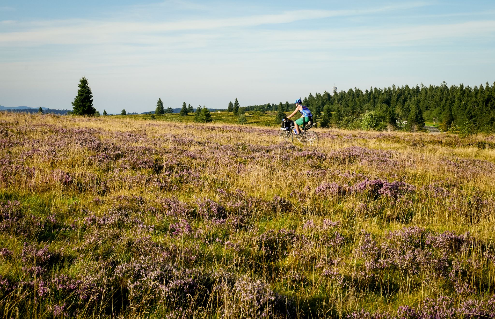
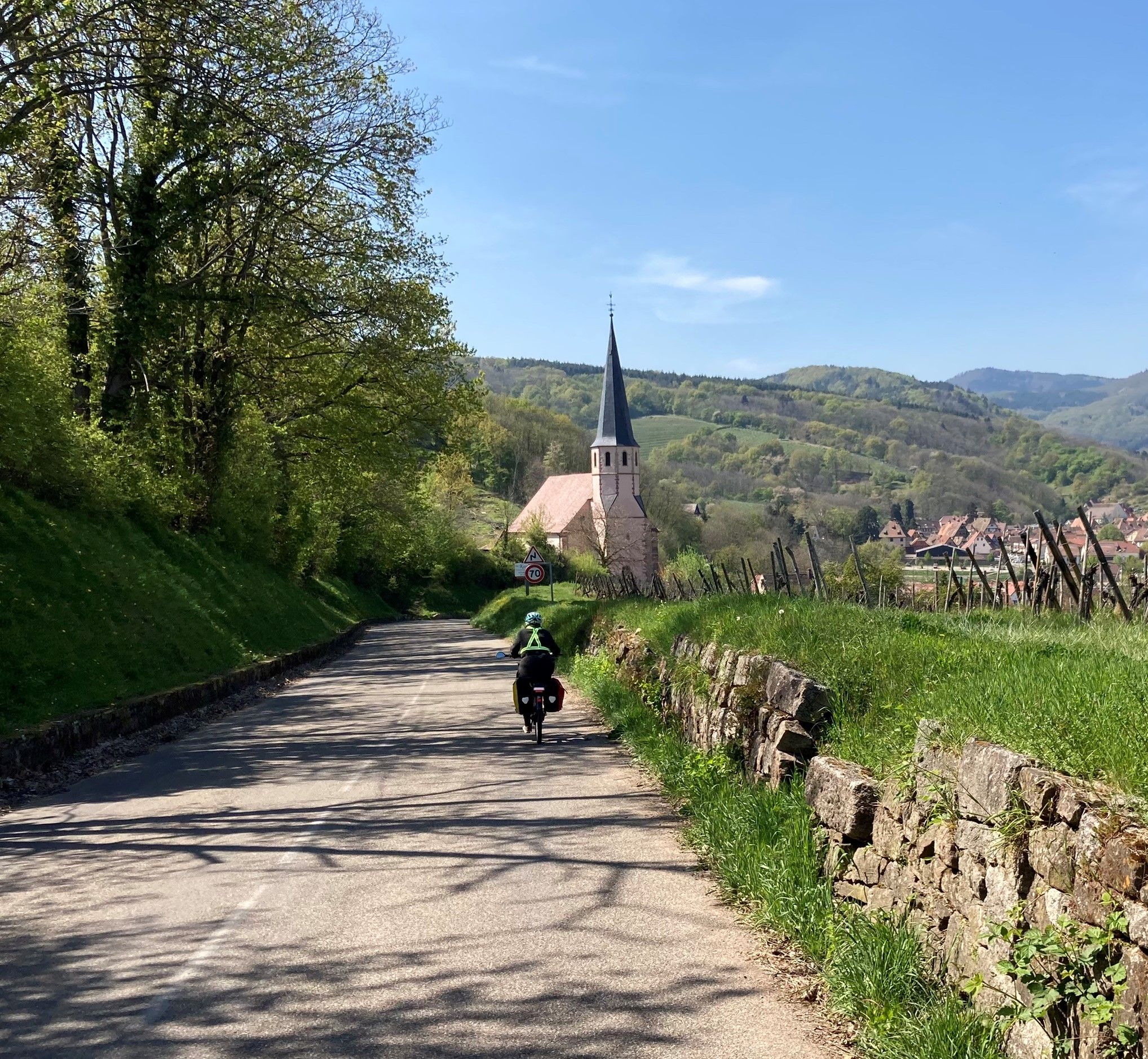
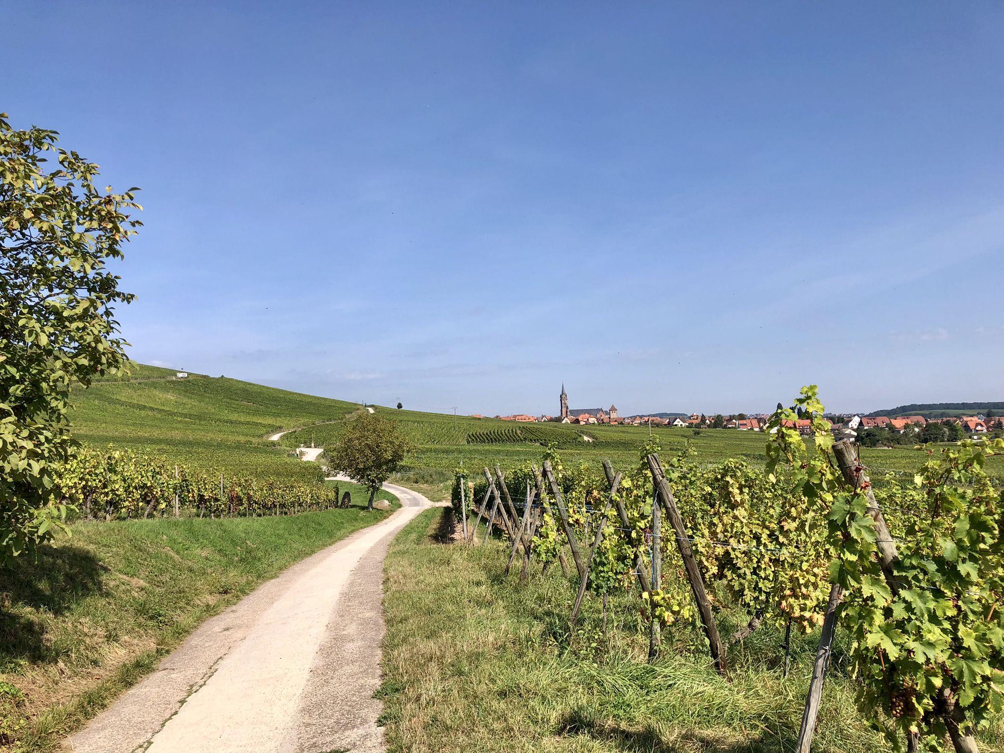
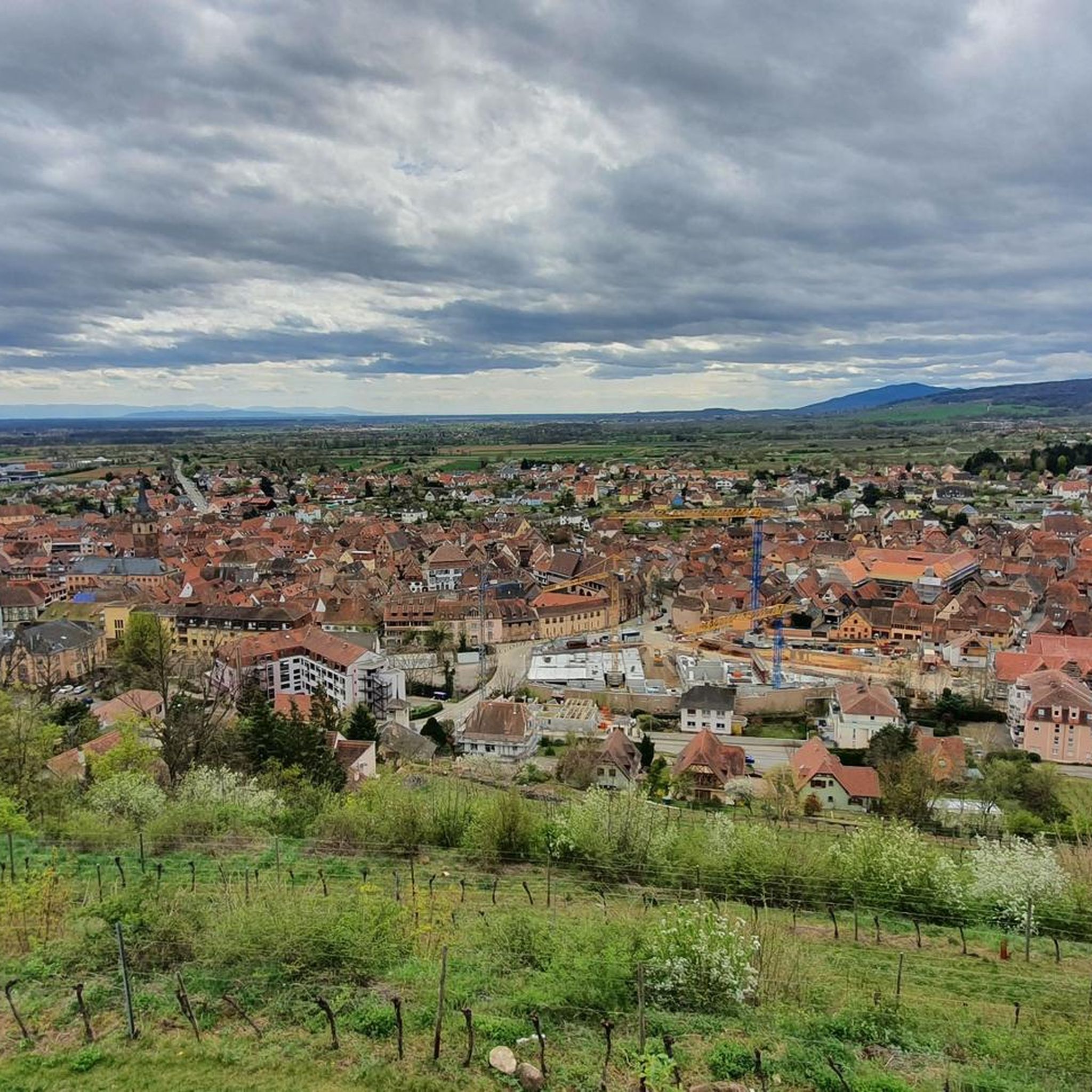
Jogging routes around Obernai traverse a diverse landscape, from the gentle slopes of vineyards and orchards to the more challenging terrain of the Vosges Mountains foothills. The region features numerous shaded forest trails and paths along the Ehn River, providing varied running environments. Historical sites and medieval ramparts also offer unique backdrops for urban jogs.
Best jogging routes around Obernai
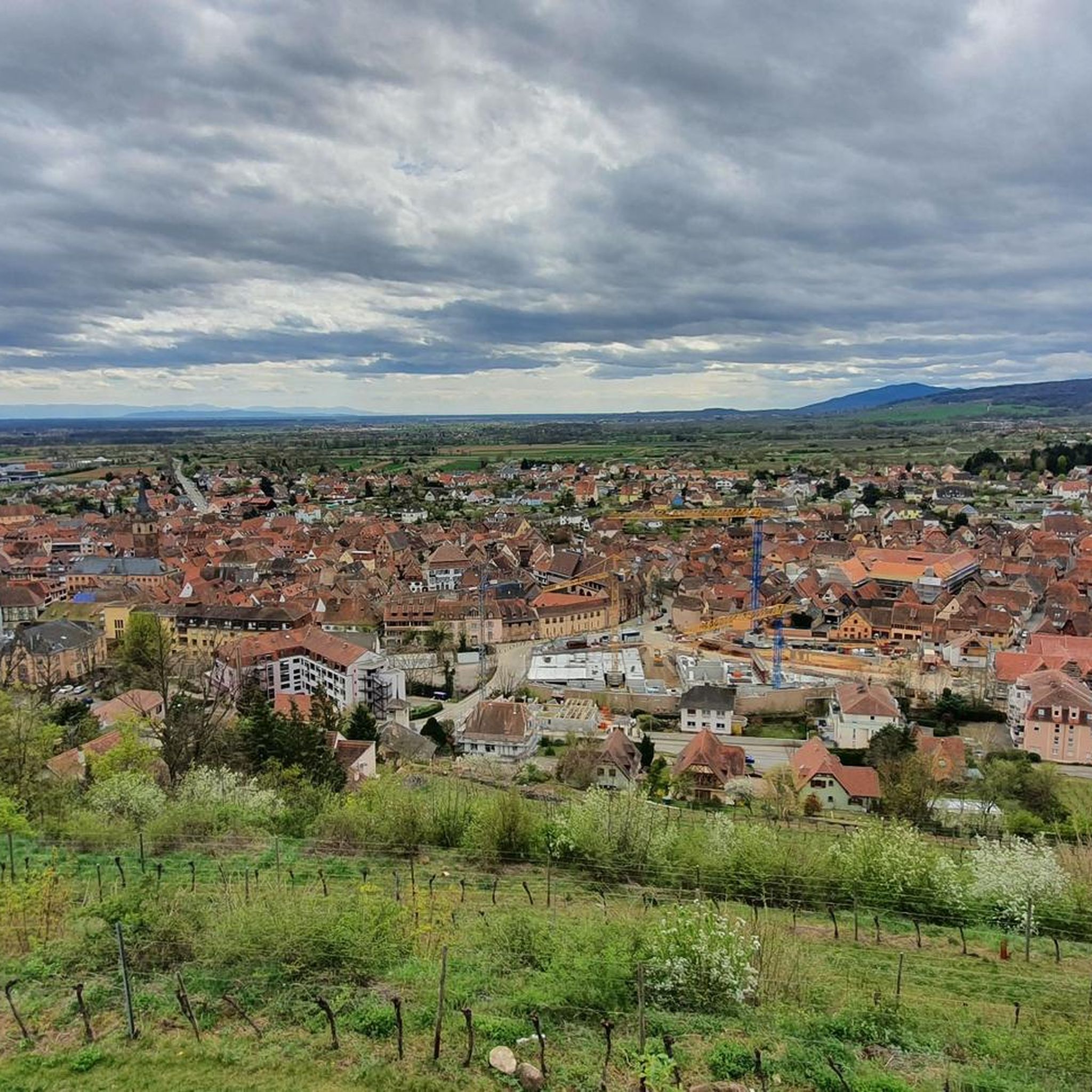
- The most popular jogging route is Old fortifications – Beautiful panorama loop from Obernai, a 5.7 miles (9.2 km) trail that takes 1 hour to complete. This moderate route offers panoramic views of the town and surrounding areas.
- Another top favourite among local runners is Jadelot Kiosk Viewpoint – Mount Sainte-Odile loop from Ottrott, a difficult 13.0 miles (21.0 km) path. This route features significant elevation changes, leading to expansive views from Mont Sainte-Odile.
- Local runners also love the Church of Saint Peter and Saint Paul – Beautiful panorama loop from Obernai, a 11.5 miles (18.5 km) trail leading through varied terrain with notable elevation, often completed in about 2 hours 10 minutes.
- Jogging around Obernai is defined by picturesque vineyards, serene riverside paths, and challenging forest trails in the Vosges foothills. The network offers options for different ability levels, from easy runs to demanding long-distance routes.
- The routes in Obernai are highly rated by the komoot community with an average score of 4.5 stars from over 40 reviews. More than 3000 runners have used komoot to explore Obernai's varied terrain.
Last updated: September 29, 2026
4.7
(9)
255
runners
17.0km
02:15
610m
610m
Hard run. Very good fitness required. Mostly paved surfaces. Suitable for all skill levels.
5.0
(1)
283
runners
12.0km
01:17
130m
130m
Moderate run. Good fitness required. Mostly paved surfaces. Suitable for all skill levels.

4.8
(4)
310
runners
9.44km
01:02
120m
120m
Moderate run. Good fitness required. Mostly paved surfaces. Suitable for all skill levels.
5.0
(1)
211
runners
13.0km
01:46
530m
530m
Hard run. Very good fitness required. Mostly paved surfaces. Suitable for all skill levels.
4.0
(1)
107
runners
4.60km
00:30
60m
60m
Easy run. Great for any fitness level. Mostly paved surfaces. Suitable for all skill levels.
Get access to more routes and recommendations from other explorers.
Already have an account?
Our route recommendations are based on thousands of hikes, rides, and runs completed by other people on komoot.
Start today with a free account
Your next adventure awaits.
Popular around Obernai



Tips from the Community

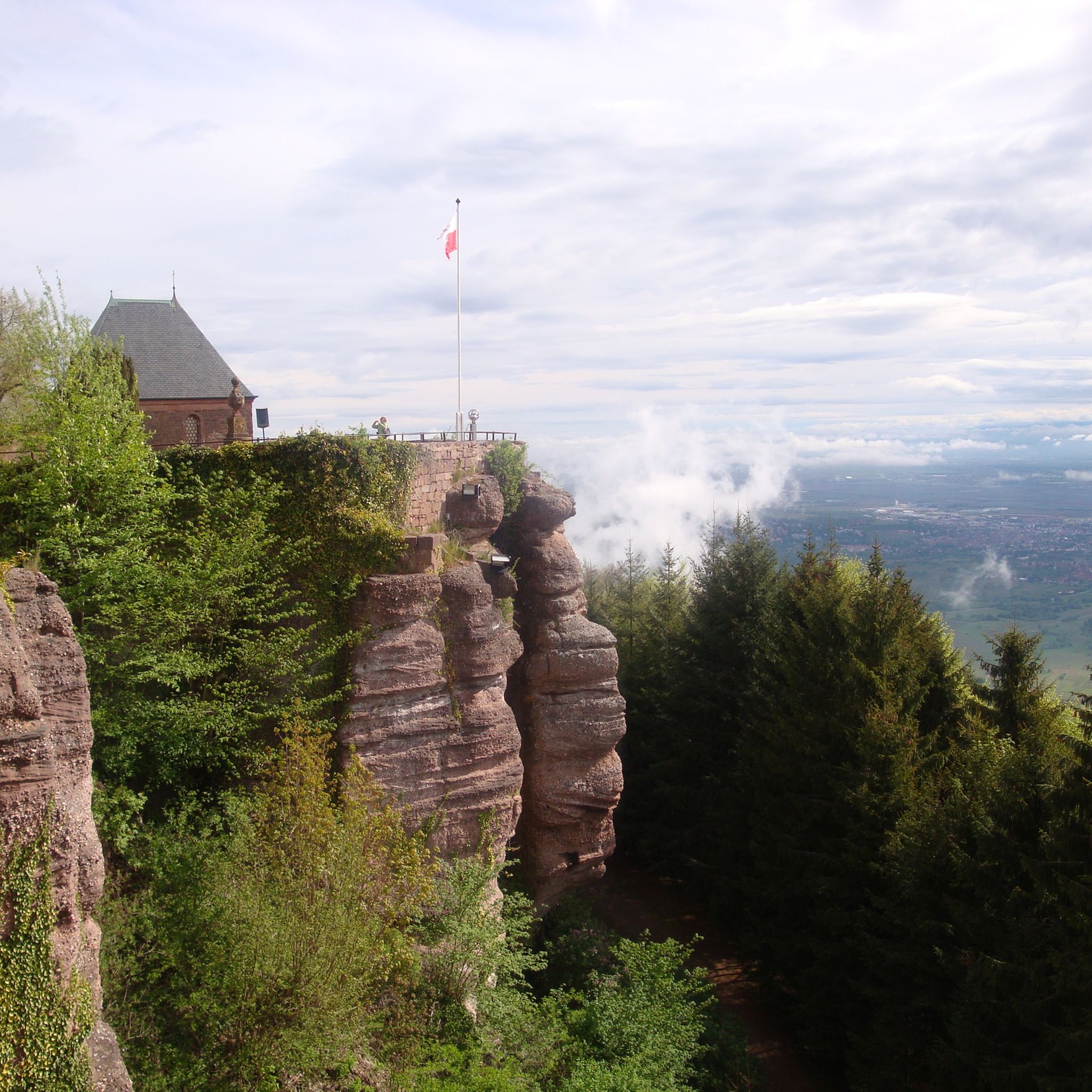
The Odilienberg (763 m) in Alsace is the most important spiritual center of the region. Founded around 690 by Saint Odilia, the monastery attracts hundreds of thousands of pilgrims annually. The centerpiece of the complex is the Basilica of the Assumption of Mary (1687–1692) with the burial chapel, where the relics of the patron saint rest in an 8th-century sandstone sarcophagus. Directly on the panoramic terrace are the Chapel of Tears and the Chapel of Angels (12th century), known for their luminous gold mosaics from 1935. Inside the basilica, there is also a fine wooden inlaid Way of the Cross by Charles Spindler. Below the monastery rocks runs a magnificent hiking trail. It leads past the monumental, colorful ceramic Way of the Cross (14 stations) and the Lourdes Grotto, both integrated directly into the red sandstone by Léon Elchinger in the 1930s. About a 15-minute walk further down, the Odilien spring emerges in the forest, its water traditionally sought for eye ailments. The entire mountain plateau is enclosed by the Heidenmauer, a mysterious, 11-kilometer-long prehistoric defensive wall. Following the hiking trails further south, you reach the Maennelstein (817 m), the highest point of the ridge, which offers a wide panoramic view over the Rhine plain to the Black Forest. The monastery grounds are open all year round and admission is free. Would you like to use this short text for a brochure or are you still looking for information on how to get there for your tour? AI answers may contain errors. For legal advice, you should consult an expert. More information
0
1


Opening hours daily: 9:00 - 12:00 and 14:00 - 18:00.
0
0

Great church building, unfortunately the church was closed
0
0

Great views into the distance. Lots of benches to stop for a break, and also plenty of parking spaces if you come by car.
0
0
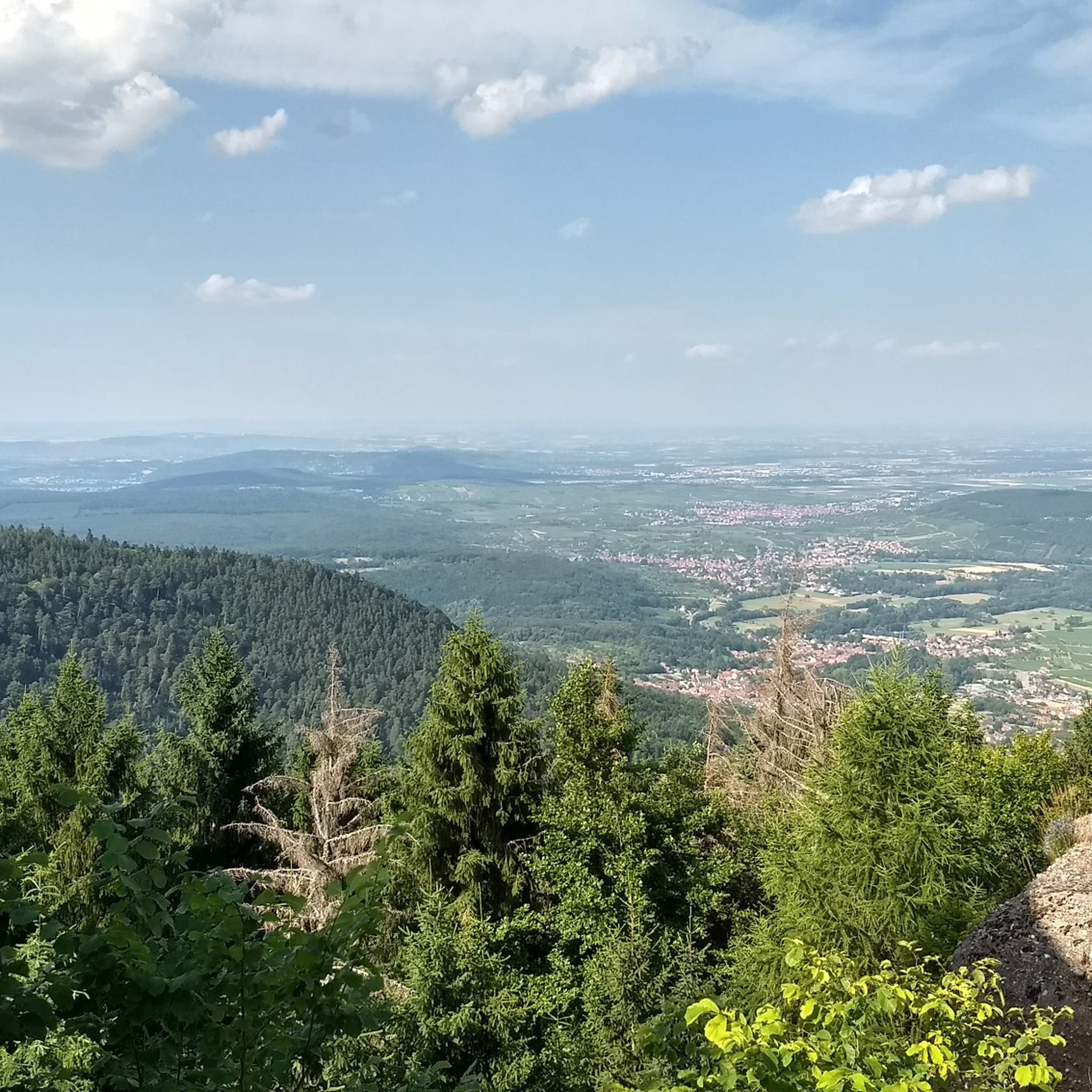
Absolutely wonderful views of the landscape on a clear day! Worth stopping for a break to enjoy the views.
0
0

Very nice view of the valley
0
0
Frequently Asked Questions
How many running routes are available around Obernai?
Obernai and its surroundings offer a wide selection of running routes, with nearly 100 different options available on komoot. These routes cater to various fitness levels, from easy riverside paths to challenging mountain trails.
What types of landscapes can I expect to see while jogging in Obernai?
Jogging in Obernai offers a diverse range of landscapes. You can run through picturesque vineyards and orchards, along the serene Ehn River, or explore shaded forest trails in the foothills of the Vosges Mountains. The region also features historical sites and medieval ramparts, providing unique backdrops for your runs.
Are there any easy running routes suitable for beginners or a relaxed pace?
Yes, Obernai has several easy to moderate running routes. For a gentler experience, consider paths along the Ehn River, which are often flatter and shaded. An example is The Ehn – Along the Ehn stream loop from Obernai, a moderate 10.5 km route that offers a serene natural experience.
Where can I find challenging trail running options with significant elevation?
For a more rigorous workout, the trails around Mont Sainte-Odile are ideal. These routes feature substantial elevation changes and reward runners with expansive panoramic views. A challenging option is the Panorama Rock – Mount Saint Odile loop from Heiligenstein, which covers over 12 km with significant ascent.
What historical landmarks or points of interest can I discover along the running trails?
Many running paths in Obernai incorporate historical sites. You might encounter sections of the ancient Mur Païen (Heathen Wall), such as the Heidenmauer (Mur Païen) — Eastern section, Mont Sainte-Odile. Other notable sites include the Verlorenes Eck Stone Circle and various castles like Andlau Castle or Landsberg Castle, which are accessible from some routes.
Are there any running routes that offer great viewpoints?
Absolutely! Many routes in the region provide splendid panoramic views. The area around Mont Sainte-Odile is particularly known for its vistas, offering views of the entire Alsace plain. The Jadelot Kiosk Viewpoint is a popular spot for breathtaking scenery.
What do other runners say about the jogging routes in Obernai?
The running routes in Obernai are highly rated by the komoot community, with an average score of 4.5 stars from over 40 reviews. More than 3000 runners have used komoot to explore Obernai's varied terrain, often praising the picturesque vineyards, serene riverside paths, and challenging forest trails.
Can I find routes that are suitable for families with children?
While specific family-friendly routes are not detailed, the easier and moderate paths, especially those along the Ehn River or through the less strenuous vineyard areas, would be suitable for families. These routes often feature mostly paved surfaces and gentler terrain, making them accessible for various fitness levels.
Are there any circular running routes available in Obernai?
Yes, many of the running routes around Obernai are designed as loops, allowing you to start and finish in the same location. This includes popular options that take you through vineyards, forests, and past historical sites, providing a convenient and varied running experience.
What is the best time of year to go running in Obernai?
Obernai offers good running conditions throughout much of the year. During warmer months, the shaded forest trails provide a cool and refreshing environment. The picturesque vineyards are beautiful in spring and autumn. For more challenging routes with elevation, clear days offer the best panoramic views.
Are there any places to eat or drink near the running trails?
Yes, the region has various options. For example, the Rothlach Inn is a highlight that could be near some trails. Additionally, Obernai's charming old town offers numerous cafes and restaurants where you can refuel after your run.
Most popular attractions around Obernai

Get inspired with the komoot mobile app


Explore more
Browse the best Running Trails & Routes in other regions.
