The best running trails around Diebolsheim
4.3
(215)
3,104
runners
291
runs
Jogging around Diebolsheim offers access to diverse natural landscapes and well-suited recreational paths in the Bas-Rhin department of France. The region is characterized by the Canal du Rhône au Rhin, providing flat and smooth routes, and the natural beauty of the Taubergießen Floodplain with its riparian forests. Joggers can also explore the wet meadows of the Black Ried and benefit from proximity to nature reserves, ensuring varied terrain for all levels.
Best jogging routes around Diebolsheim
- The most popular jogging…
Last updated: July 1, 2026
5.0
(1)
31
runners
21.1km
02:13
40m
40m
Hard run. Very good fitness required. Mostly accessible paths. Some sure footedness required.
14
runners
8.06km
00:50
10m
10m
Moderate run. Good fitness required. Mostly paved surfaces. Suitable for all skill levels.

Sign up for free
4.0
(1)
9
runners
6.25km
00:40
10m
10m
Moderate run. Good fitness required. Mostly paved surfaces. Suitable for all skill levels.
5.0
(1)
12
runners
10.5km
01:05
20m
20m
Moderate run. Good fitness required. Mostly paved surfaces. Suitable for all skill levels.
6
runners
10.4km
01:10
10m
10m
Moderate run. Good fitness required. Mostly paved surfaces. Suitable for all skill levels.
Get access to more routes and recommendations from other explorers.
Sign up for free
Already have an account?
Our route recommendations are based on thousands of hikes, rides, and runs completed by other people on komoot.
Start today with a free account
Your next adventure awaits.
Login or Signup
Tips from the Community

Particularly striking is the imposing Silver Star roller coaster, which, at 73 meters high, is one of the tallest and fastest steel roller coasters in Europe. From here, you can see the distinctive silhouette of the ride.
8
0

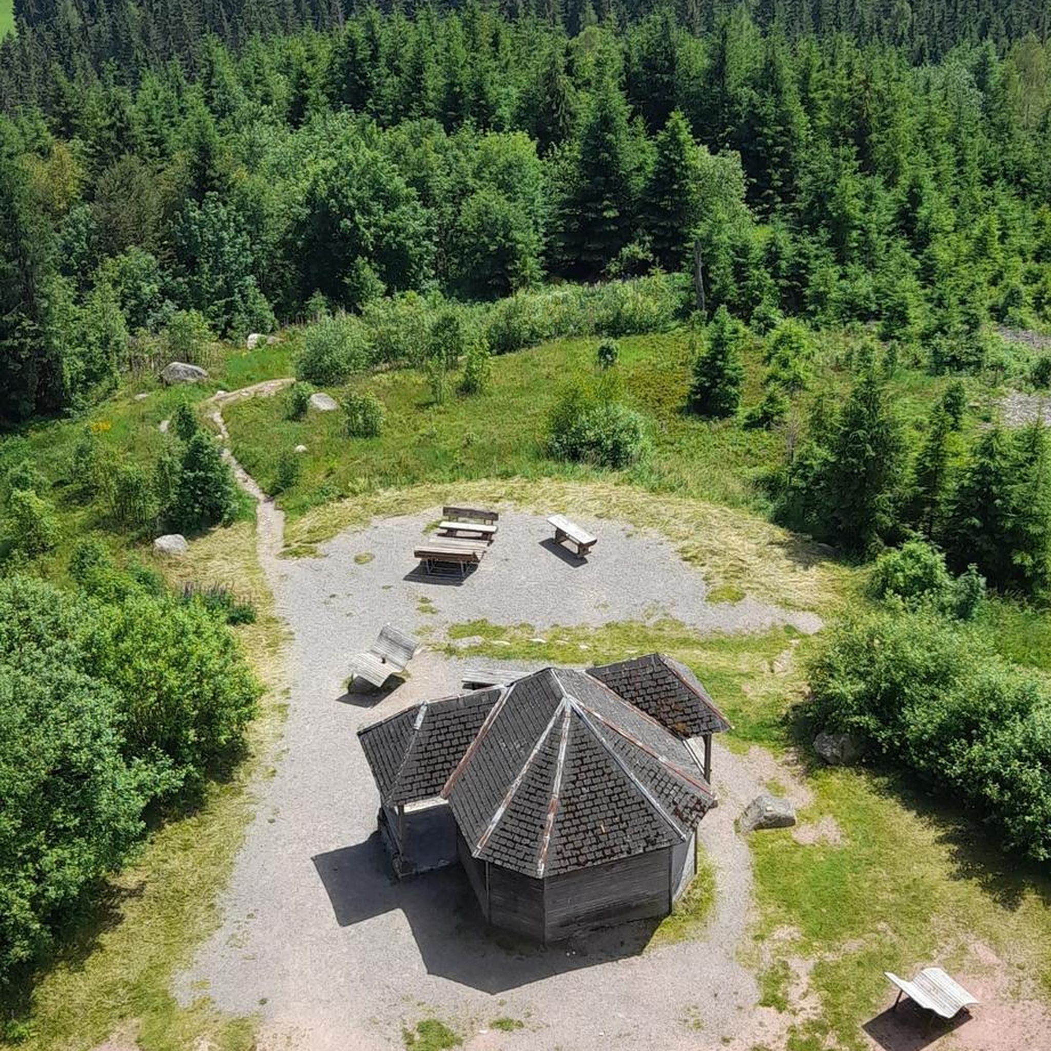
A beautiful tower for birdwatching. Spacious with seating for observing or photographing the birds.
0
0


Closed, no access available. Interesting point along the way.
0
0


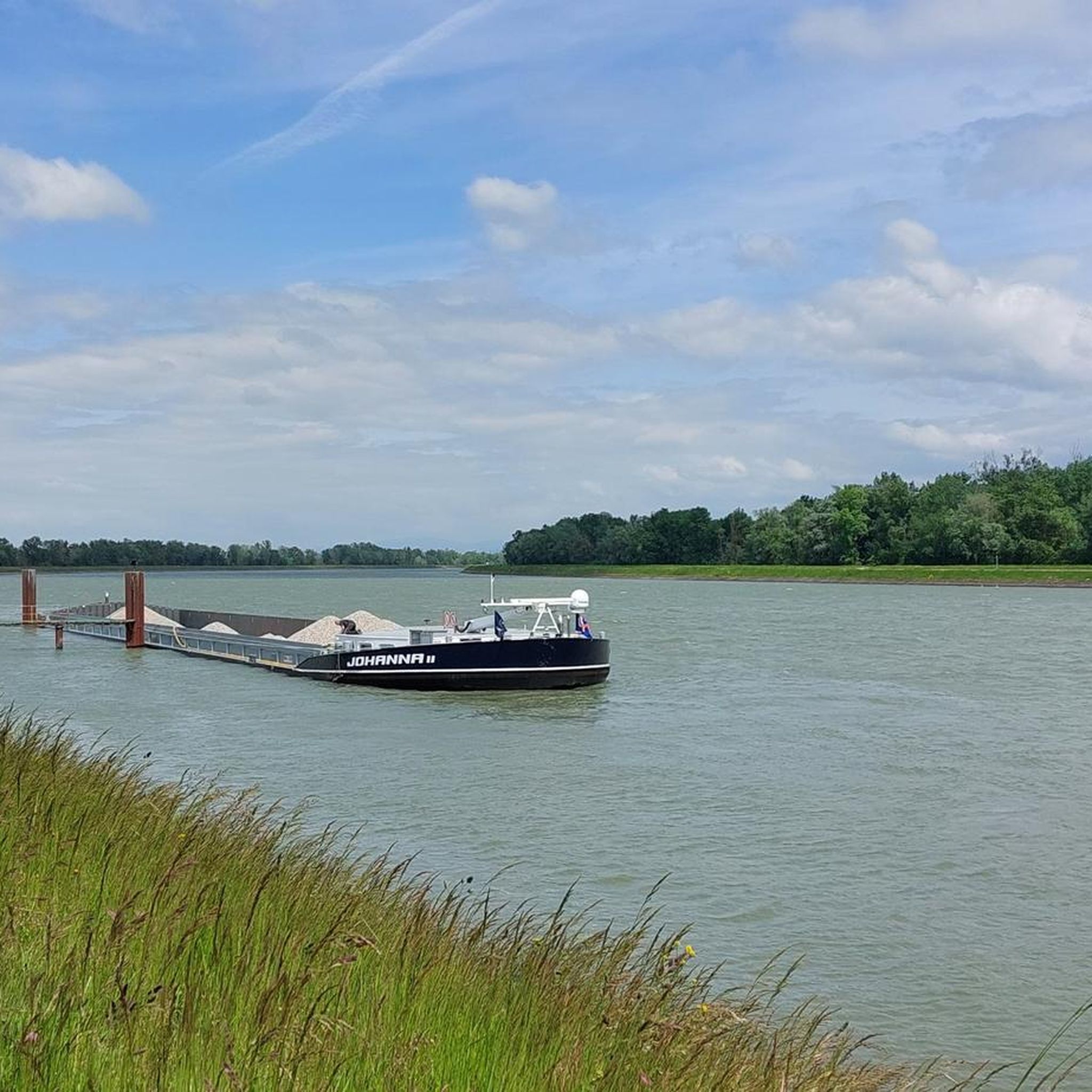
The cycle path runs for miles, often directly along the Rhine, so you have a constant view of the river. Unfortunately, it's not clear what makes the spot marked here a highlight.
0
0

The Rhine is 1,232 km long. It originates in the canton of Graubünden and flows into the North Sea in the Netherlands.
0
2
Europa-Park is the largest theme park in Germany. Over 6 million people visit Europa-Park annually.
0
0
Frequently Asked Questions
What kind of terrain can I expect on running routes around Diebolsheim?
The Diebolsheim area offers diverse terrain for runners. Many routes, especially those along the Rhine–Rhône Canal Cycle Route, are notably flat, making them suitable for less strenuous runs. You'll find sections with smooth asphalt and others with fine gravel. The Taubergießen Floodplain provides beautiful riparian forests and natural paths, while the wet meadows of the Black Ried offer varied natural surfaces.
How many running routes are available in the Diebolsheim region?
There are over 280 running routes around Diebolsheim listed on komoot, catering to various fitness levels. This includes 38 easy routes, 224 moderate routes, and 26 difficult routes, ensuring a wide selection for every runner.
Are there any easy or beginner-friendly running paths in Diebolsheim?
Yes, Diebolsheim offers a good selection of easy running paths, with 38 routes specifically categorized as easy. Many of these are found along the Canal du Rhône au Rhin, which provides flat and smooth surfaces ideal for beginners or those looking for a relaxed run.
What natural attractions can I see while jogging near Diebolsheim?
While running, you can explore several natural highlights. The Taubergießen Floodplain is an absolute natural idyll with beautiful riparian forests and sparkling water views. You might also encounter the wet meadows of the Black Ried, known for their preserved natural heritage and diverse flora and fauna. The region is also close to nature reserves like the National Nature Reserve of the Rhinau Island.
What do other runners enjoy most about the trails in Diebolsheim?
The running routes in Diebolsheim are highly rated by the komoot community, with an average score of 4.3 stars from over 180 reviews. Runners often praise the diverse natural landscapes, the well-maintained canal paths, and the serene environment of areas like the Taubergießen Floodplain.
Are there any circular running routes available in Diebolsheim?
Yes, many of the running routes around Diebolsheim are circular. For example, the popular Taubergießen Weir – View of the Rhine loop from Rhinau is a challenging 21.6 km loop. Other options include the moderate Rheindamm Near Kappel – Elzwehr near Wittenweier loop from Rhinau (8.1 km) and the View of the Rhine loop from Rhinau (10.5 km).
Can I find routes that follow the Rhine embankment?
Absolutely. A notable route that follows the Rhine embankment is the Rheindamm Near Kappel – Elzwehr near Wittenweier loop from Rhinau. This moderate 8.1 km path offers scenic views of the river and its surrounding landscapes, providing a great experience for runners.
Are there any specific landmarks or points of interest along the running trails?
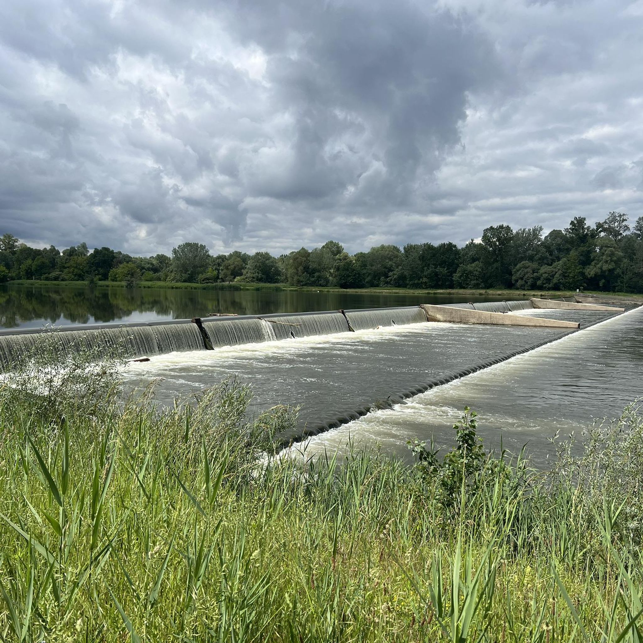
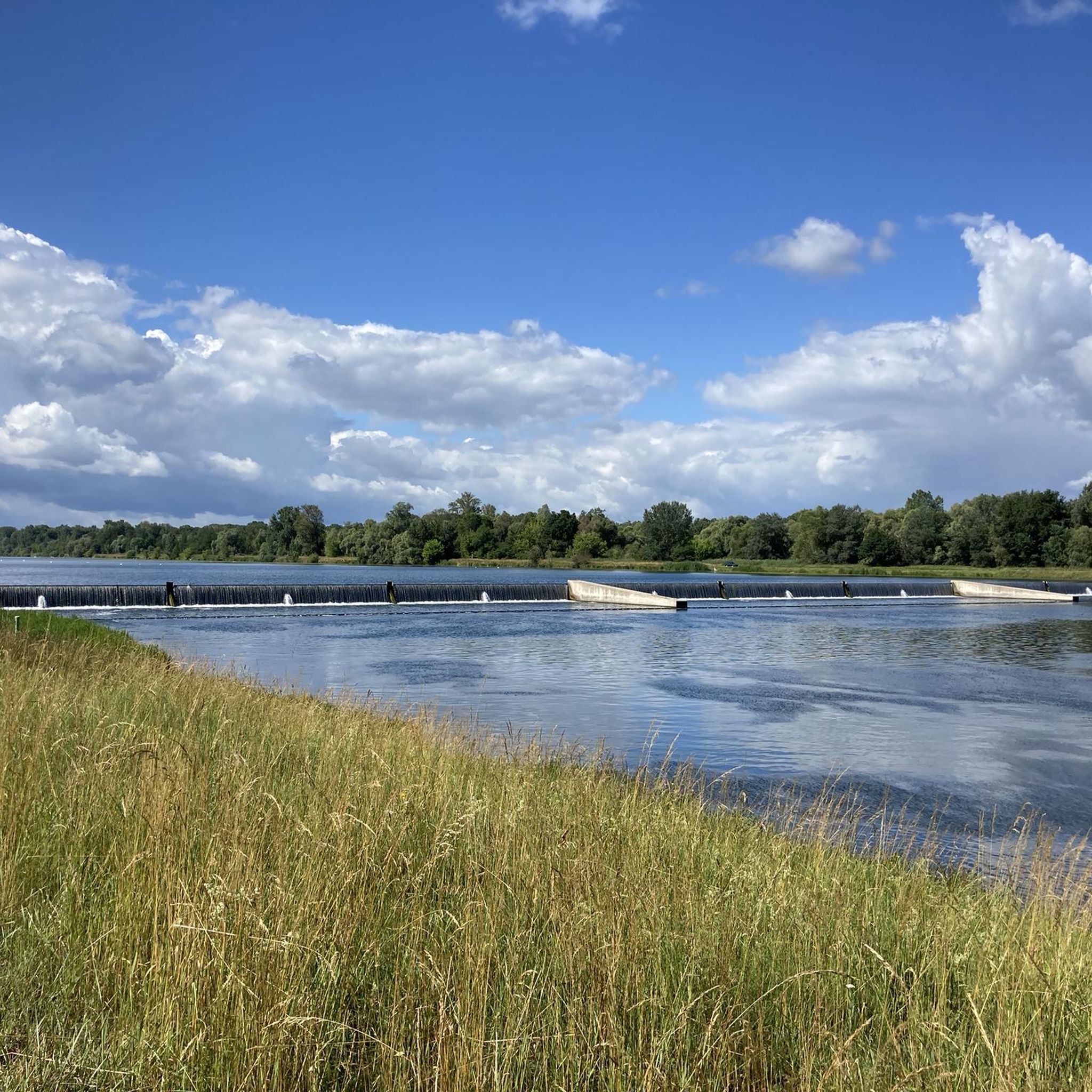
Beyond the natural beauty, some routes may pass by interesting points. For instance, you might encounter the Fish Ladder at the Taubergießen Weir or the Elzwehr near Wittenweier. The Rhine–Rhône Canal Cycle Route itself is a significant feature, with its locks and lockkeeper's houses.
What is the best time of year for running in Diebolsheim?
Diebolsheim is suitable for running throughout much of the year. The region's natural beauty, especially the riparian forests and wet meadows, can be enjoyed in spring and summer when flora is abundant. Autumn offers beautiful colors, and the relatively flat terrain along the canals can be pleasant even in milder winter conditions.
Are there any running routes that start directly from Diebolsheim village?
While many popular routes are accessible from nearby Rhinau, Diebolsheim's central location within the Black Ried and its proximity to the Canal du Rhône au Rhin mean that various local paths and sections of the canal network can be accessed directly from the village, allowing for customized runs.
Are there options for longer distance running in the area?
Yes, for those looking for longer runs, the Taubergießen Weir – View of the Rhine loop from Rhinau is a challenging 21.6 km route. The extensive network of paths along the Canal du Rhône au Rhin also allows for extended runs, as it stretches from Marckolsheim to Strasbourg, offering many kilometers of continuous, mostly flat terrain.
Most popular routes around Diebolsheim
Most popular attractions around Diebolsheim

Get inspired with the komoot mobile app


Explore more
Browse the best Running Trails & Routes in other regions.
