The best walks and hikes around Friesenheim
4.5
(1612)
7,382
hikers
281
hikes
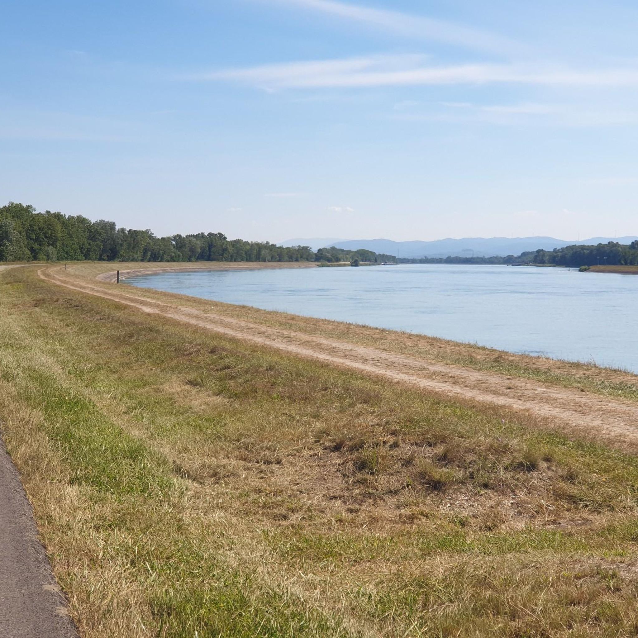
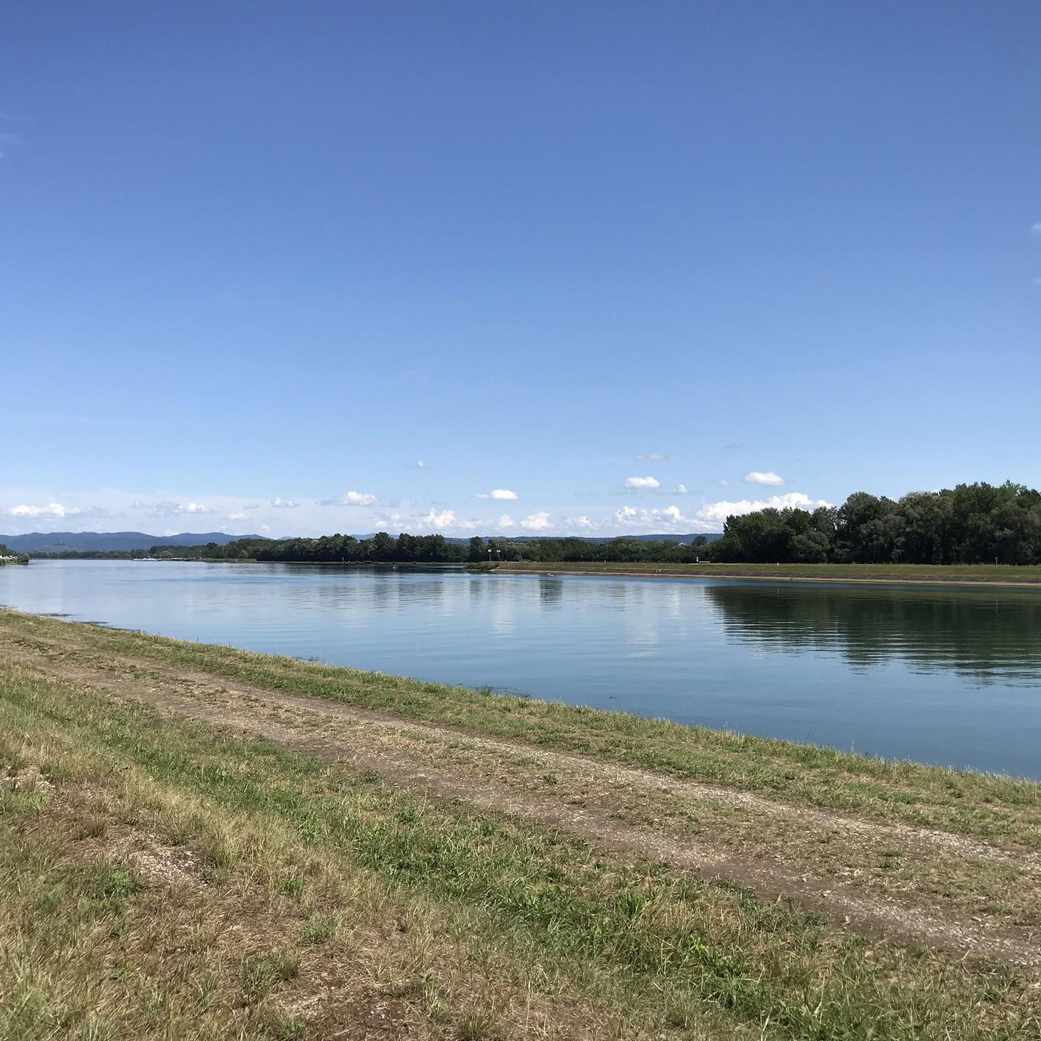
Hiking around Friesenheim offers diverse terrain situated between the Black Forest and the Rhine River floodplains. The landscape features extensive vineyards, dense forests, and rolling hills. The region is characterized by the Rhine River and its floodplains, including branching waterways and wet meadows, alongside the Elz River, providing varied natural environments for exploration.
Best hiking trails around Friesenheim
- The most popular hiking route is Neutold Spring (Schollenrhein) – Brunnwasser Spring loop from Rhinau, a 7.4 miles (12.0 km) moderate…
Last updated: October 1, 2026
4.6
(142)
392
hikers
Moderate hike. Good fitness required. Easily-accessible paths. Suitable for all skill levels.
4.4
(14)
95
hikers
Moderate hike. Good fitness required. Easily-accessible paths. Suitable for all skill levels.

3.9
(23)
70
hikers
Easy hike. Great for any fitness level. Easily-accessible paths. Suitable for all skill levels.
4.6
(20)
88
hikers
5.77km
01:28
20m
20m
Easy hike. Great for any fitness level. Easily-accessible paths. Suitable for all skill levels.
5.0
(2)
22
hikers
3.75km
00:57
10m
10m
Easy hike. Great for any fitness level. Easily-accessible paths. Suitable for all skill levels.
Get access to more routes and recommendations from other explorers.
Already have an account?
Our route recommendations are based on thousands of hikes, rides, and runs completed by other people on komoot.
Start today with a free account
Your next adventure awaits.
Tips from the Community

An absolute natural idyll. Absolutely beautiful!!
1
0

The Dornskopf is a striking spot in the Taubergießen nature reserve, known for its typical floodplain landscape. Here, waterways branch out, surrounded by dense woodland and wet meadows. The area is particularly pristine and conveys the character of the old Rhine floodplain as it existed before the Rhine was straightened. With a bit of luck, you might spot rare bird species or signs of beavers. It's a place that exudes tranquility and showcases the wild beauty of the Taubergießen.
9
0
The Herrenkopf Bridge is a charming wooden bridge spanning one of the typical waterways of the Taubergießen nature reserve. Located in the heart of the nature reserve, it connects two idyllic sections of the floodplain landscape. From the bridge, there is a wonderful view of the clear water, surrounded by lush greenery and the typical features of the Rhine floodplain.
8
0
Taubergießen is one of the largest and most species-rich nature reserves in Baden-Württemberg. It lies between Rust and the Rhine and covers around 1,700 hectares of original floodplain landscape. Characteristic features are the branching watercourses, wet meadows, forests, and old Rhine arms, which are home to a unique flora and fauna. Here you can find rare plant species, dragonflies, amphibians, and an impressive bird population – including kingfishers, herons, and even storks. The landscape is characterized by tranquility and originality, ideal for hikes, bike tours, or nature observations. Particularly fascinating: the area is a remnant of the old Rhine floodplain, as it existed before the Rhine was straightened.
6
0

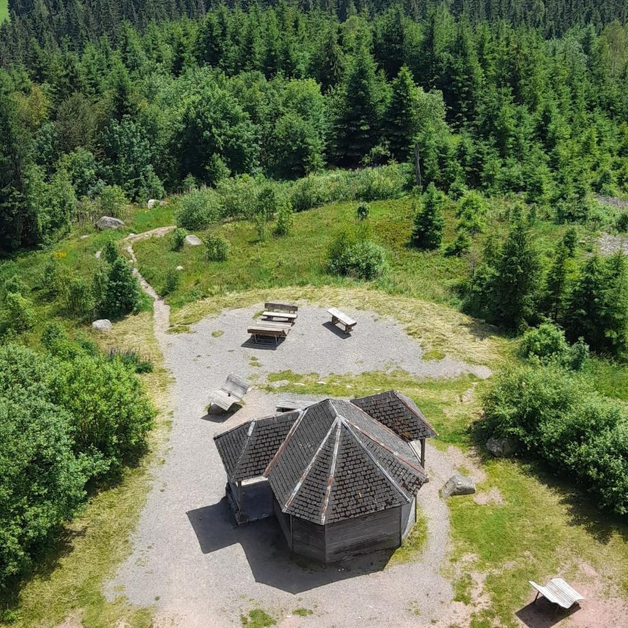
A beautiful tower for birdwatching. Spacious with seating for observing or photographing the birds.
0
0

Rough meadows with beautiful orchids
2
0

The access to the bridge is quite high and difficult with an electric wheelchair.
3
0

Frequently Asked Questions
What kind of terrain can I expect when hiking around Friesenheim?
Friesenheim offers a diverse landscape for hiking. You'll find trails winding through extensive vineyards, dense forests, and gentle rolling hills. The region is also characterized by the Rhine River floodplains, featuring branching waterways and wet meadows, as well as paths along the Elz River.
Are there family-friendly hiking options in Friesenheim?
Yes, Friesenheim offers various trails suitable for families. Many routes are designed as leisurely strolls, and there are paths like a 'nature trail' where children can learn about local wildlife and plants. The Taubergießen Wetlands loop from Rhinau is an easy 4.1-mile path, perfect for a family outing.
Can I bring my dog on the hiking trails in Friesenheim?
Generally, dogs are welcome on hiking trails in Friesenheim. However, specific rules, especially regarding leashing, may apply in nature reserves like the Taubergießen. Always keep your dog under control and check for local signage, particularly in sensitive ecological areas.
What are some notable natural features or landmarks to see on hikes near Friesenheim?
Hiking around Friesenheim offers views of diverse natural features. You can explore the unique Taubergießen Floodplain, known for its rich biodiversity, or visit the Fish Ladder at the Taubergießen Weir. The area also features the Elzwiesen Nature Reserve and picturesque vineyards.
What is the best time of year to go hiking in Friesenheim?
The best seasons for hiking in Friesenheim are spring and autumn. In spring, the landscape is vibrant with blossoming flowers, while autumn brings golden foliage from the vineyards and forests. Mild temperatures during these seasons create ideal conditions for long walks.
Are there any circular hiking routes available in Friesenheim?
Yes, many hiking routes in Friesenheim are circular, offering convenient starting and ending points. For example, the Neutold Spring (Schollenrhein) – Brunnwasser Spring loop from Rhinau is a popular moderate circular trail through the Rhine floodplains.
How can I reach the hiking trailheads in Friesenheim using public transport?
Friesenheim is part of the Ortenau district, which has public transport connections. While specific routes vary, regional buses often connect the municipality to nearby towns and train stations, from where you can access various trailheads. It's advisable to check local bus schedules for the most up-to-date information.
Is parking available near the hiking trails in Friesenheim?
Yes, parking is generally available near popular hiking trailheads and attractions in Friesenheim and the surrounding areas, including access points for the Taubergießen Nature Reserve. Look for designated parking areas, especially near visitor centers or main access points.
Are there any easy hiking trails suitable for beginners in Friesenheim?
Absolutely. Friesenheim offers many easy hiking trails perfect for beginners or those looking for a relaxed stroll. The Taubergießen Wetlands loop from Rhinau is an easy 4.1-mile path, and the View of the Rhine loop from Rhinau is another easy option at 2.7 miles.
What is the typical length and duration of hikes in Friesenheim?
Hikes in Friesenheim vary in length and duration to suit different preferences. You can find shorter trails like the View of the Rhine loop from Rhinau, which is 2.7 miles and takes about an hour. Longer, moderate trails, such as the Neutold Spring (Schollenrhein) – Brunnwasser Spring loop from Rhinau, can be around 7.4 miles and take approximately 3 hours.
What do other hikers say about the trails in Friesenheim?
The hiking routes in Friesenheim are highly rated by the komoot community, with an average score of 4.5 stars from over 1,300 reviews. Hikers often praise the diverse scenery, from vineyards to the unique Rhine floodplains, and the well-maintained paths suitable for various ability levels.
Are there opportunities to explore the Black Forest from Friesenheim?
Yes, Friesenheim's location between the Black Forest and the Rhine River floodplains makes it a great starting point for exploring both. For experienced hikers, the Kandelhöhenweg, a multi-day trail traversing the westernmost heights of the Black Forest, is accessible from the region, offering spectacular views.
Can I find places to eat or stay near the hiking routes?
Friesenheim and its surrounding villages offer various options for refreshments and accommodation. You can find local cafes, pubs, and restaurants to refuel after a hike, as well as guesthouses and hotels for overnight stays. The charming municipality provides amenities to support your hiking trip.
Are there any specific regulations or permits needed for hiking in the Taubergießen Nature Reserve?
The Taubergießen Nature Reserve is a protected area, and specific regulations are in place to preserve its unique ecosystem. While general hiking on marked trails does not typically require a permit, it's crucial to stay on designated paths, respect wildlife, and adhere to any posted rules regarding access or activities. Dogs should generally be kept on a leash.
Are there any wheelchair-friendly paths in Friesenheim?
While many trails in Friesenheim involve natural terrain like forest paths or vineyard tracks, some sections, particularly in parks like Rheinwaldpark or Schloßpark Friesenheim, may offer more accessible, flatter surfaces suitable for wheelchairs. It's recommended to check specific route details for accessibility information.
Most popular routes around Friesenheim
Most popular attractions around Friesenheim

Get inspired with the komoot mobile app


Explore more
Browse the best Hikes in other regions.
