The best running trails around Breitenbach-Haut-Rhin
4.5
(201)
7,165
runners
362
runs
Jogging around Breitenbach-Haut-Rhin offers access to the diverse landscapes of the Vosges mountains and the Regional Natural Park of Ballons des Vosges. The region features varied terrain, including scenic forests, peaceful streams, and rounded summits. Elevations range from 414 to 1,165 meters, providing options for different fitness levels. This natural setting ensures a range of running experiences within a preserved environment.
Best jogging routes around Breitenbach-Haut-Rhin
- The most popular jogging route is Fountain on the Fecht – Luttenbach near Munster…
Last updated: June 28, 2026
4.8
(4)
113
runners
Hard run. Very good fitness required. Sure-footedness, sturdy shoes and alpine experience required.
54
runners
Moderate run. Good fitness required. Mostly paved surfaces. Suitable for all skill levels.

Sign up for free
44
runners
Moderate run. Good fitness required. Mostly paved surfaces. Suitable for all skill levels.
33
runners
51.7km
07:20
2,300m
2,300m
Hard run. Very good fitness required. Sure-footedness, sturdy shoes and alpine experience required.
26
runners
7.91km
01:12
410m
400m
Hard run. Very good fitness required. Sure-footedness, sturdy shoes and alpine experience required.
Get access to more routes and recommendations from other explorers.
Sign up for free
Already have an account?
Our route recommendations are based on thousands of hikes, rides, and runs completed by other people on komoot.
Start today with a free account
Your next adventure awaits.
Login or Signup
Tips from the Community

The cycle path and small roads between Metzeral and Munster offer lovely views. This is where the valley is at its narrowest. Don't hesitate to climb a little higher for an even more beautiful panorama.
0
0

The break with the Münsterland cheese was absolutely fantastic! It was so delicious 😋 #Break #Cheese #Treat #Enjoyment
0
0

A challenge on a mountain bike without a motor. But the downhill trails are great. It's worth it 👍🏻
2
0

Quite rustic - very warm hospitality. Very cheap!
2
0
There are several sports fields in the beautiful park.
2
0
Beautiful little park with a path around the pond.
2
0
Ruins of the monastery of St. Gregory. Dissolved in 1791 and then largely destroyed in World War I.
2
0
Fountain probably only in operation in summer. Small dam above.
2
0
Frequently Asked Questions
What kind of terrain can I expect on running routes around Breitenbach-Haut-Rhin?
The region offers a diverse mix of terrains, from easily accessible paths in the valley floors, such as those along the Fecht river, to more challenging routes with significant elevation gains in the Vosges mountains. You'll encounter scenic forests, peaceful streams, and rounded summits, providing options for various fitness levels.
How many running routes are available in Breitenbach-Haut-Rhin?
There are over 340 running routes around Breitenbach-Haut-Rhin, catering to a wide range of abilities. This includes 9 easy routes, 92 moderate routes, and 239 difficult routes for those seeking a greater challenge.
Are there any running routes with significant elevation changes for a more challenging workout?
Yes, many routes in the Vosges mountains offer substantial elevation changes. For example, the Fountain on the Fecht – Petit Ballon Summit loop from Muhlbach-sur-Munster is a difficult 50.9 km route with over 2,300 meters of ascent, providing a demanding experience. Another challenging option is the Petit Ballon Summit loop from Wasserbourg, which covers 13.4 km with over 430 meters of elevation gain.
What natural features or scenic views can I expect to see while jogging in the area?
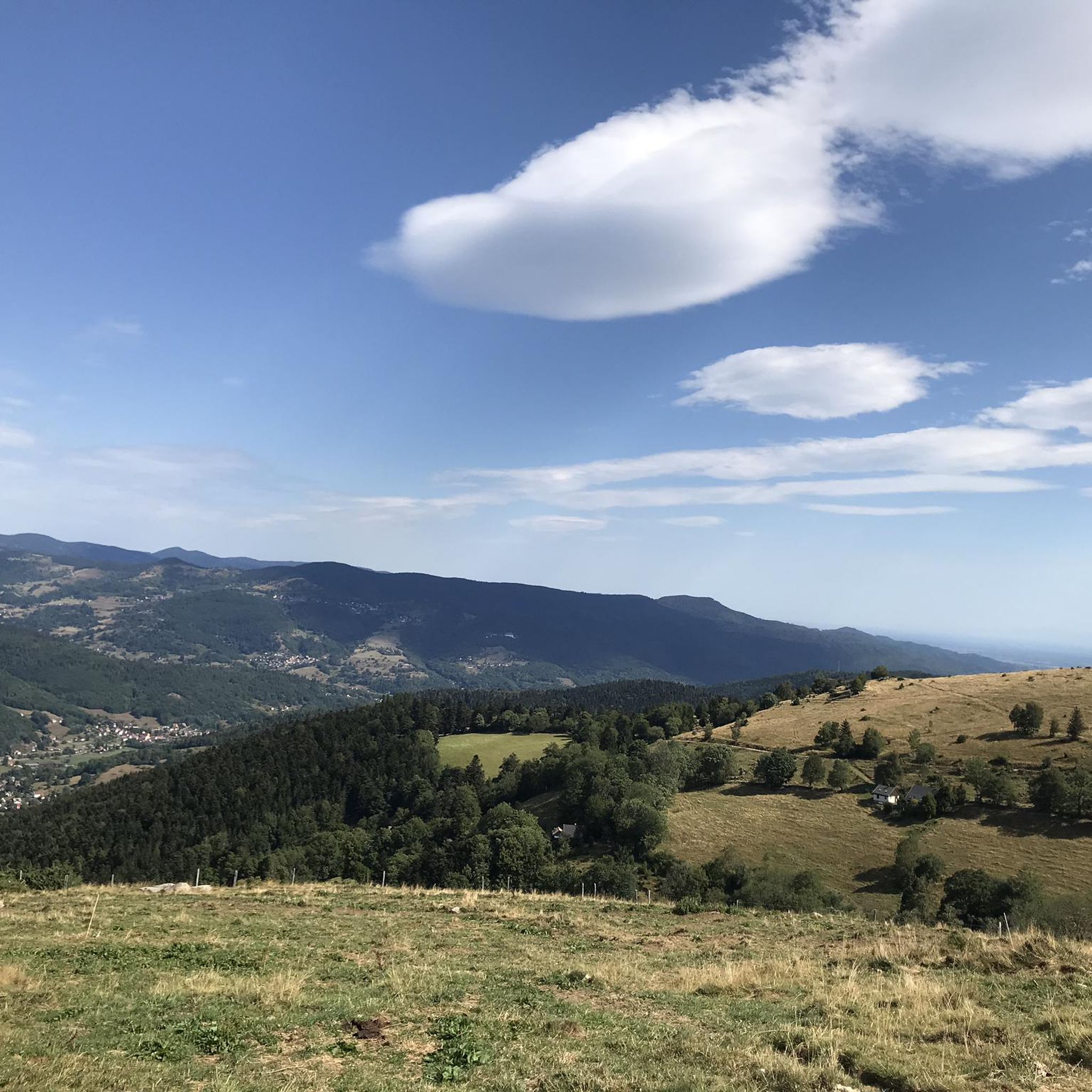
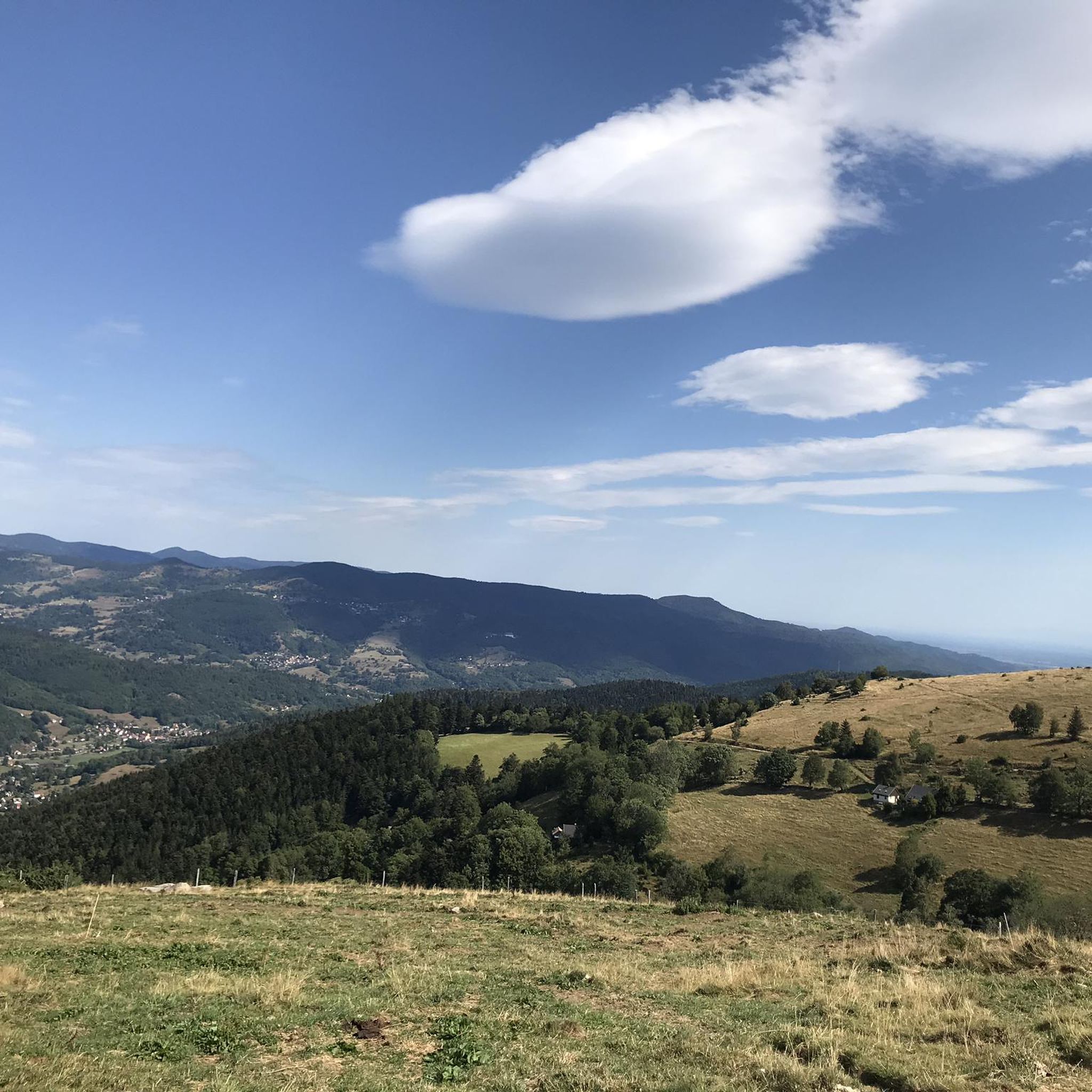
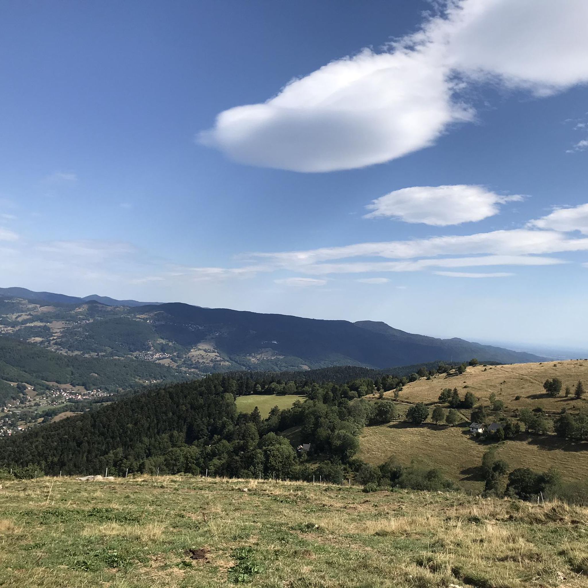
Breitenbach-Haut-Rhin, located in the Regional Natural Park of Ballons des Vosges, is rich in natural beauty. You can expect to run through dense forests, alongside soothing streams, and across mountain pastures. Higher points like the Hohneck or Petit Ballon offer magnificent panoramic views over the Vosges mountains, rewarding your efforts with stunning vistas.
What do other runners say about the trails in Breitenbach-Haut-Rhin?
The running routes in Breitenbach-Haut-Rhin are highly rated by the komoot community, with an average score of 4.6 stars from over 130 reviews. More than 6,500 runners have explored the varied terrain, often praising the scenic Vosges mountains, dense forests, and the diverse range of routes available for different ability levels.
Are there any circular running routes available?
Yes, many routes in the area are circular, allowing you to start and finish at the same point. An example is the Fountain on the Fecht – Luttenbach near Munster loop from Muhlbach-sur-Munster, a moderate 9.6 km trail that explores the valley floor. Another popular loop is the Fountain on the Fecht – Parc Andre Hartmann loop from Luttenbach-près-Munster, which is 8.5 km long.
What is the best time of year to go jogging in Breitenbach-Haut-Rhin?
The region offers beautiful running conditions throughout much of the year. Spring and autumn provide pleasant temperatures and vibrant scenery with blooming flowers or colorful foliage. Summer offers shaded routes through forests, while winter can transform the landscape into a snowy wonderland, though some higher trails may require appropriate gear or be less accessible.
Are there any specific landmarks or points of interest I can see along the running routes?
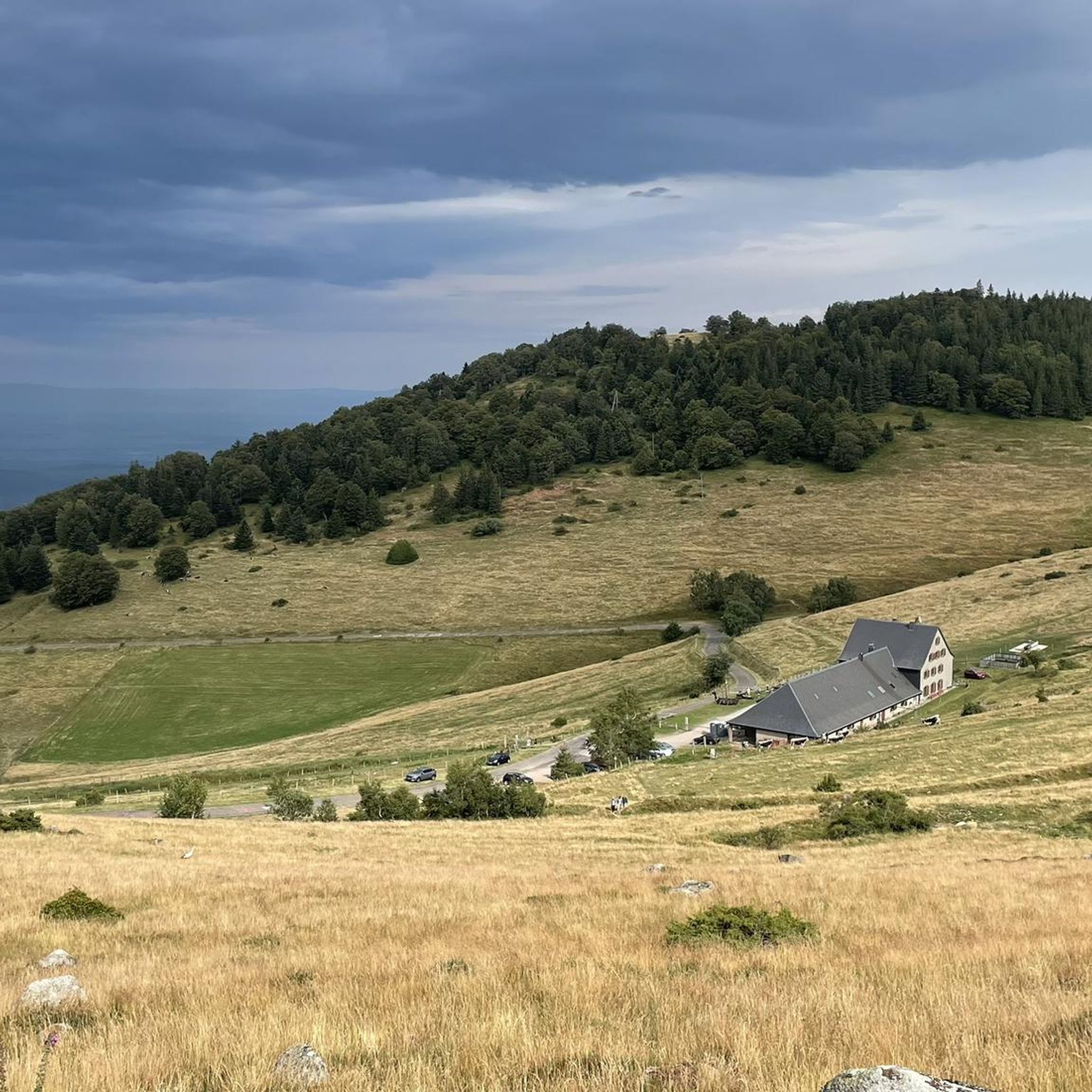
While jogging, you might encounter various points of interest. The area is part of the Regional Natural Park of Ballons des Vosges, offering natural landmarks like the Hohneck and Petit Ballon summits. You can also find highlights such as the Ferme Auberge du Frankenthal, which is a mountain farm inn.
Is public transport available to access the running trails?
Breitenbach-Haut-Rhin is a village in the Vosges mountains. While specific public transport links directly to every trailhead might be limited, regional bus services connect villages. For detailed information on public transport options to access specific areas or trailheads, it's advisable to check local transport schedules or consult resources like Visit Alsace or Tourisme Colmar for regional travel advice.
Are there easy running routes suitable for beginners or families?
Yes, the region offers 9 easy running routes that are suitable for beginners or families looking for a less strenuous experience. These paths often follow gentler terrain, such as those along river valleys, providing a pleasant and accessible way to enjoy the natural surroundings.
Where can I find parking near the running trails in Breitenbach-Haut-Rhin?
Parking availability varies depending on the specific trailhead. In general, you can often find parking in or near the villages that serve as starting points for routes, such as Muhlbach-sur-Munster or Luttenbach-près-Munster. For more remote trailheads, designated parking areas might be available, but it's always recommended to check specific route details or local signage.
Are there any running routes that pass through mountain passes?
Yes, for those seeking routes with mountain pass experiences, the Strohberg Pass – Boenlesgrab Pass loop from Petit Ballon is a notable option. This 7.9 km trail leads through mountain passes and higher elevations, offering a challenging run with rewarding views.
Most popular routes around Breitenbach-Haut-Rhin
Most popular attractions around Breitenbach-Haut-Rhin

Get inspired with the komoot mobile app


Explore more
Browse the best Running Trails & Routes in other regions.
