The best mountain hikes around Luttenbach-Près-Munster
4.7
(58)
222
hikers
30
hikes
Mountaineering routes around Luttenbach-Près-Munster are situated in the heart of the Vosges mountains, characterized by forested slopes, high mountain passes, and glacial lakes. The terrain features prominent peaks and rocky outcrops, offering varied ascents and panoramic views. This region provides a diverse landscape for mountaineering, ranging from challenging summit attempts to routes exploring scenic valleys and viewpoints.
Best mountaineering routes around Luttenbach-Près-Munster
- The most popular mountaineering route is Krappenfels – Beautiful view loop from Col de la Schlucht, a…
Last updated: July 4, 2026
4.9
(8)
43
hikers
7.30km
02:42
280m
280m
Hard mountaineering route. Good fitness required. Sure-footedness, sturdy shoes and alpine experience required.
4.7
(6)
21
hikers
19.4km
07:50
970m
970m
Hard mountaineering route. Very good fitness required. Sure-footedness, sturdy shoes and alpine experience required.

Sign up for free
4.9
(8)
14
hikers
Hard mountaineering route. Very good fitness required. Sure-footedness, sturdy shoes and alpine experience required.
4.7
(3)
16
hikers
12.1km
04:07
460m
460m
Moderate mountaineering route. Good fitness required. Mostly accessible paths. Sure-footedness required.
4.5
(4)
7
hikers
Moderate mountaineering route. Good fitness required. Mostly accessible paths. Sure-footedness required.
Get access to more routes and recommendations from other explorers.
Sign up for free
Already have an account?
Our route recommendations are based on thousands of hikes, rides, and runs completed by other people on komoot.
Start today with a free account
Your next adventure awaits.
Login or Signup
Popular around Luttenbach-Près-Munster

Thatches, lakes and forests – Tour des Ballons des Vosges
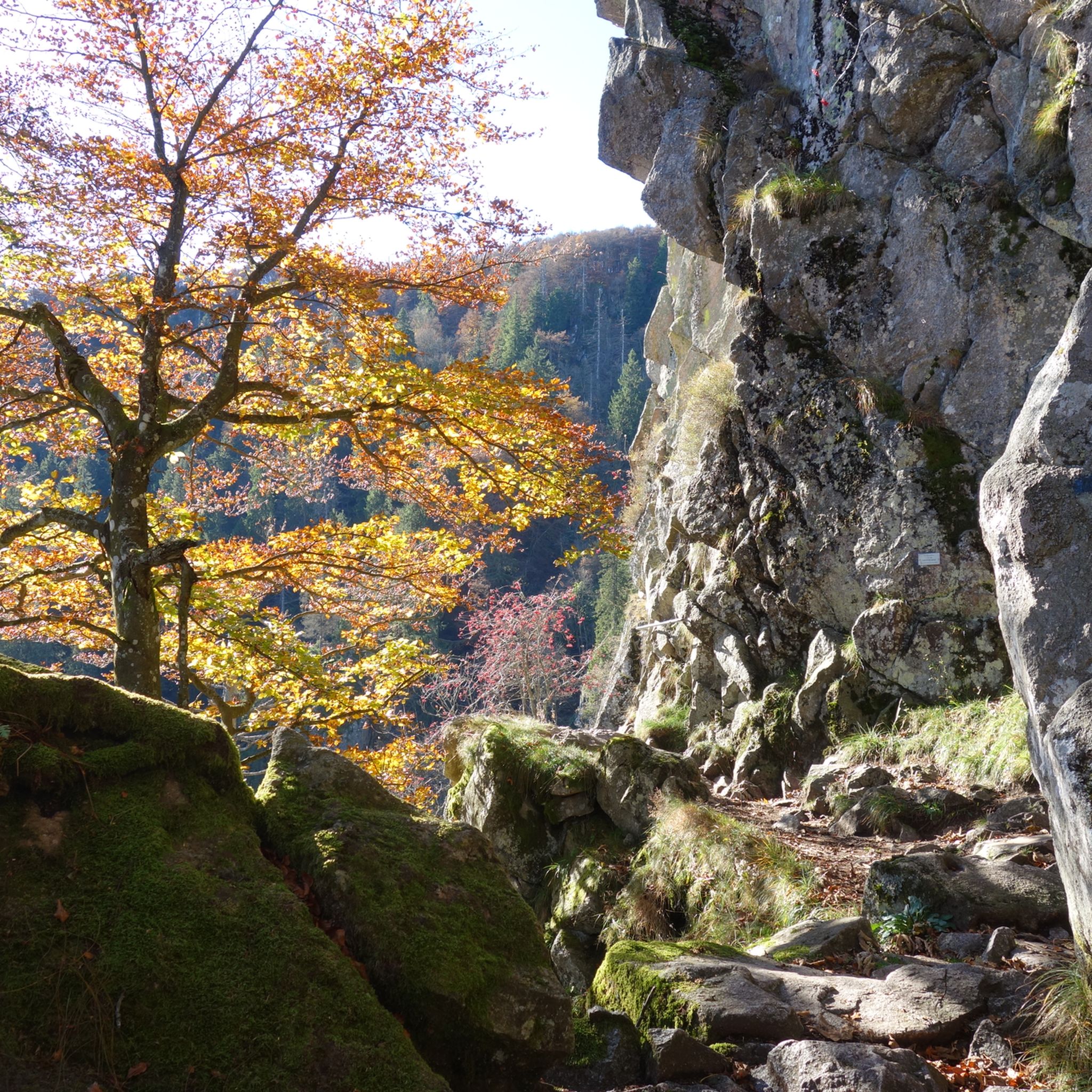
Hiking around Luttenbach-Près-Munster
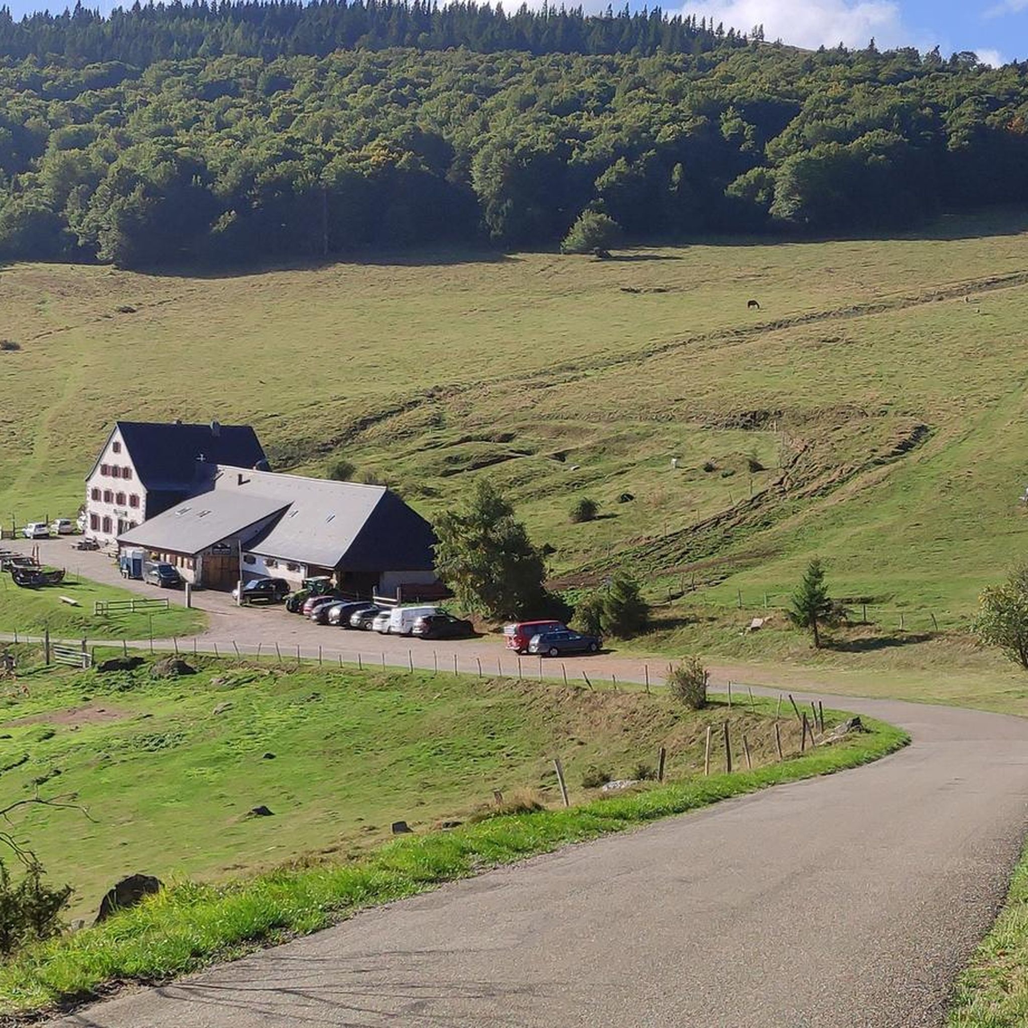
Road Cycling Routes around Luttenbach-Près-Munster
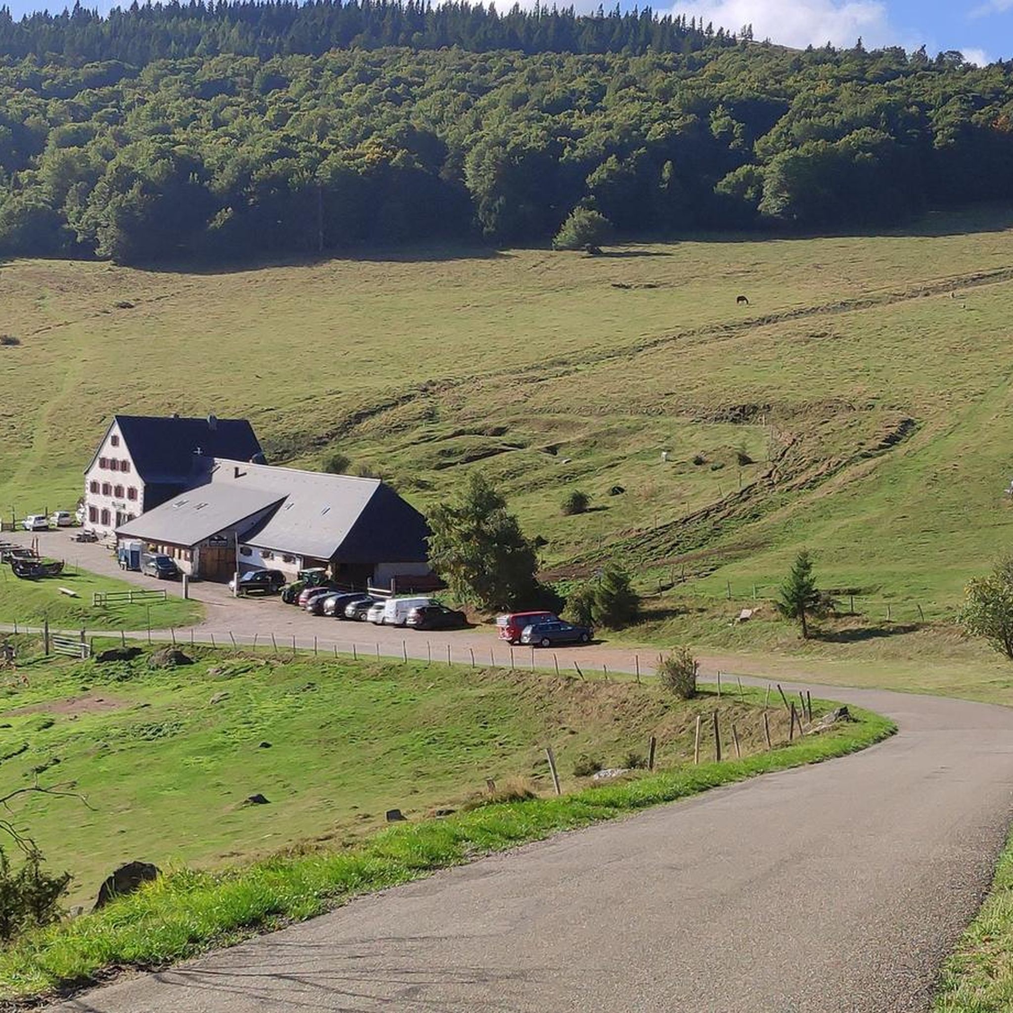
MTB Trails around Luttenbach-Près-Munster
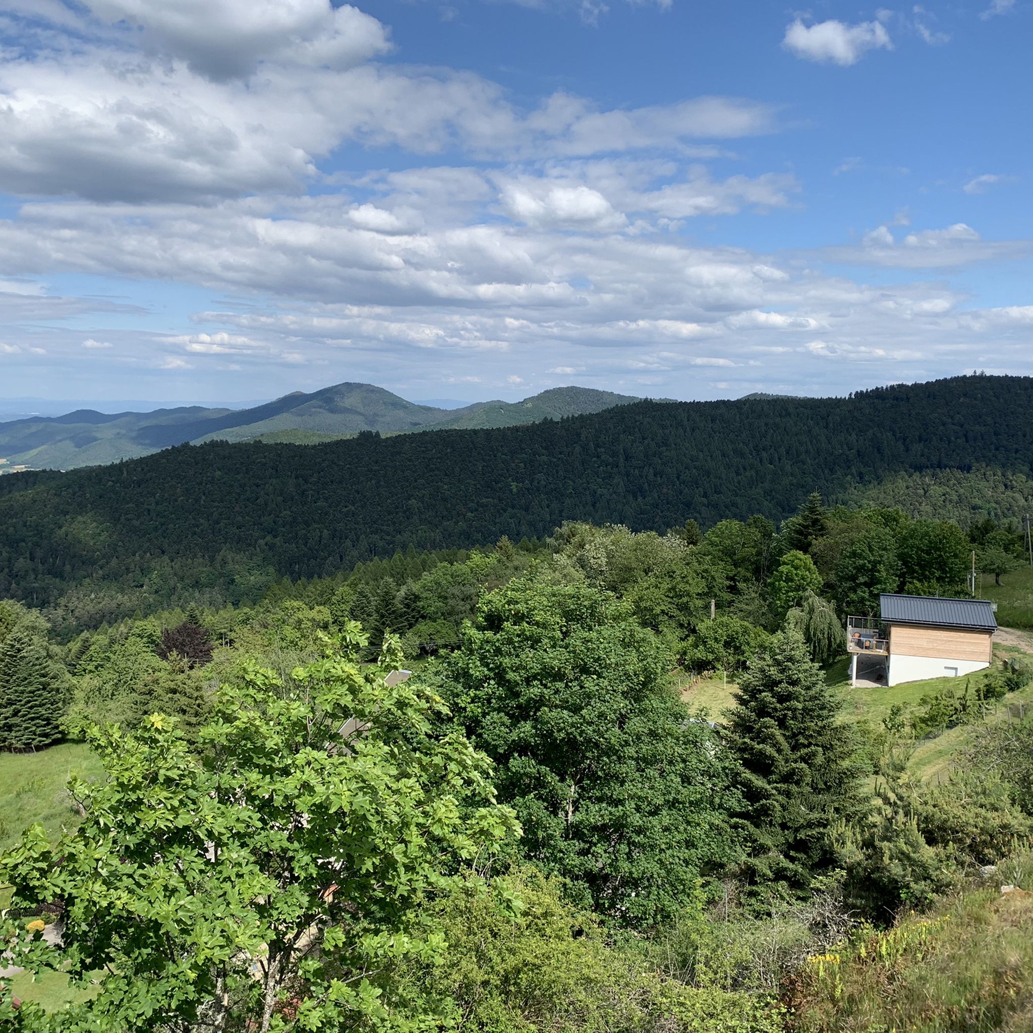
Cycling around Luttenbach-Près-Munster
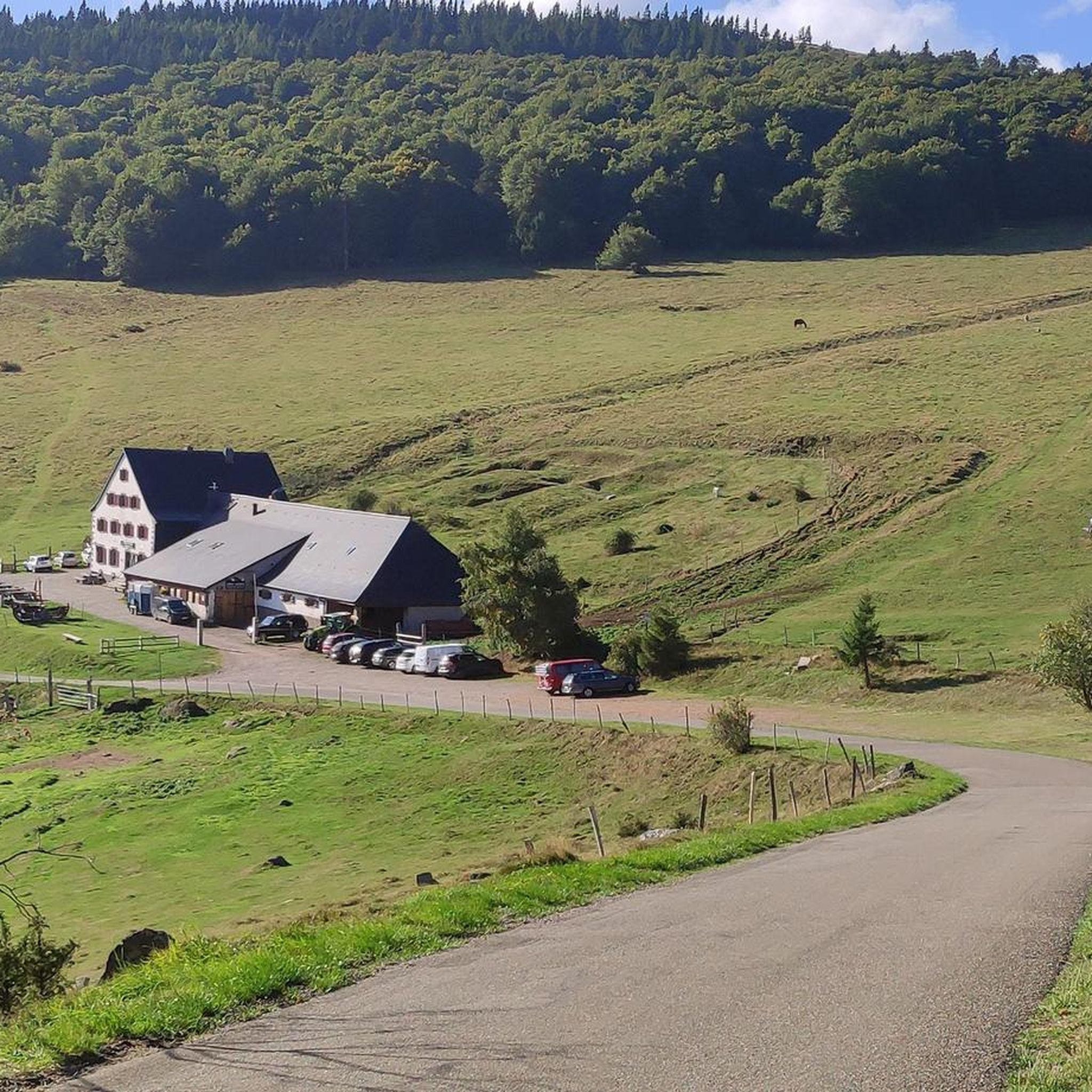
Running Trails around Luttenbach-Près-Munster
Gravel biking around Luttenbach-Près-Munster
Other adventures around Luttenbach-Près-Munster

Tips from the Community

Awesome views that you have earned as a reward through the Felsenland
3
0
Unfortunately, you can't get to the water from the bridge
5
0
A rock that you simply must see.. it's a bit exposed but hey.. great view from there
7
0
Great descent from the Hohneck through a natural low beech forest.
3
0

The Vosges are an excellent terrain for mountain bike and singletrack experiences! 🚵♀️🌲 #Vosges #Mountainbike #Singletrack #Experiences
0
0

Shaped by the highlands and very different from home, the beeches here are much more stunted and full of lichens... looks so beautiful.
0
0

Frequently Asked Questions
How many mountaineering routes are available around Luttenbach-Près-Munster?
There are over 30 mountaineering routes around Luttenbach-Près-Munster, offering a diverse range of experiences within the Vosges mountains. The komoot community has rated these routes highly, with an average score of 4.7 stars.
Are there any easy mountaineering routes for beginners in Luttenbach-Près-Munster?
The mountaineering routes around Luttenbach-Près-Munster are generally classified as moderate to difficult. There are no routes specifically designated as easy, so beginners should choose carefully and be prepared for challenging terrain and elevation changes.
What are some recommended mountaineering routes that offer great views?
For expansive vistas, consider the Krappenfels – Beautiful view loop from Col de la Schlucht. This difficult route provides stunning views from the Krappenfels. Another option is the Le Tanet Summit – Taubenklangfelsen Viewpoint loop from Le Tanet, which leads through mountain summits and viewpoints.
Are there any circular mountaineering routes in the area?
Yes, many of the mountaineering routes around Luttenbach-Près-Munster are circular. For example, the Krappenfels – Col de la Schlucht loop from Col de la Schlucht is a difficult 6.6 km circular path. Another option is the Lac du Forlet – Taubenklangfelsen Viewpoint loop from Réserve naturelle du Tanet-Gazon-du-Faing, a moderate 7.3 km loop.
What is the best time of year for mountaineering in Luttenbach-Près-Munster?
The best time for mountaineering in the Vosges mountains, including Luttenbach-Près-Munster, is typically from late spring to early autumn (May to October). During this period, the weather is generally more stable, and trails are clear of snow. Always check local weather forecasts before heading out.
Are there any mountaineering routes that take around 4-6 hours to complete?
Yes, the Le Tanet Summit – Taubenklangfelsen Viewpoint loop from Le Tanet is a moderate 12 km route that typically takes around 4 hours to complete, fitting within your desired timeframe.
What kind of wildlife might I encounter on the trails?
The Vosges mountains are home to diverse wildlife. While mountaineering, you might spot chamois, deer, and various bird species. Keep an eye out for marmots in higher alpine areas. Remember to observe from a distance and respect their natural habitat.
What interesting natural landmarks can I see along the mountaineering routes?
The region boasts several natural highlights. You can explore glacial lakes such as Lac Blanc or Black Lake. There's also a notable Waterfall on Sentier des Roches, which can be a refreshing stop.
Are there any particularly challenging mountaineering trails for experienced hikers?
Experienced mountaineers will find several challenging routes. The Lake Fischboedle – Hohneck loop from Col de la Schlucht is a difficult 19.5 km path that explores a glacial lake and ascends to the Hohneck summit, offering a significant challenge.
What should I wear for mountaineering in Luttenbach-Près-Munster?
Given the varied terrain and potential for changing weather in the Vosges mountains, it's advisable to wear sturdy hiking boots, layered clothing suitable for different temperatures, and waterproof outerwear. Always carry enough water, snacks, and a map or GPS device.
Are there places to eat or get refreshments near the mountaineering trails?
Yes, you can often find traditional mountain farms (fermes-auberges) in the Vosges that offer local food and drinks. For example, the Ferme Auberge du Frankenthal is a notable spot that can be incorporated into some longer routes or visited nearby.
Is it possible to go mountaineering in Luttenbach-Près-Munster during winter?
Winter mountaineering in the Vosges is possible but requires specific equipment and experience due to snow, ice, and colder temperatures. Conditions can change rapidly, so it's crucial to check weather and avalanche forecasts, and consider guided tours or snowshoeing for safer winter exploration.
Most popular routes around Luttenbach-Près-Munster
Most popular attractions around Luttenbach-Près-Munster

Get inspired with the komoot mobile app


Explore more
Browse the best Mountain Hikes & Routes in other regions.
