The best running trails around Weier Im Thal
4.4
(169)
6,118
runners
22
runs
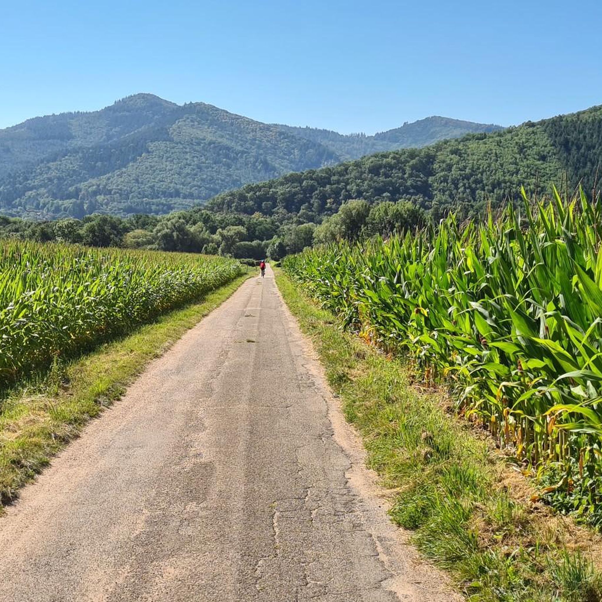
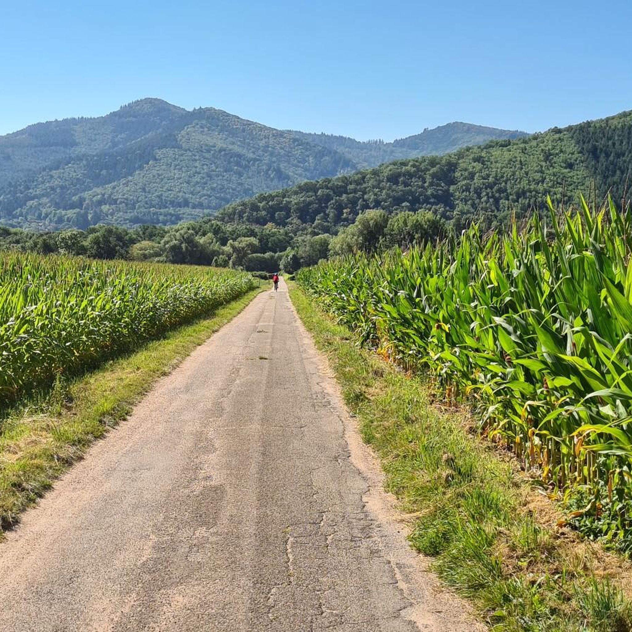
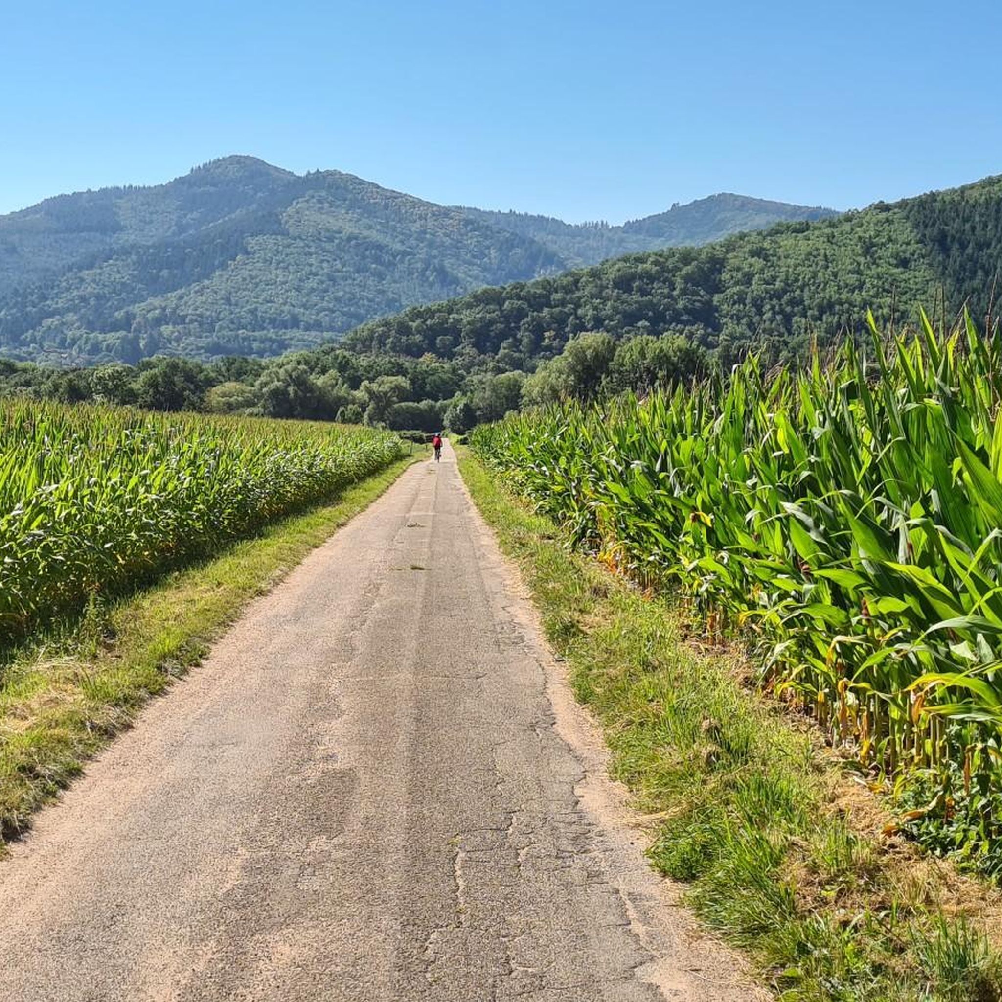
Jogging routes around Weier Im Thal offer diverse terrain within the scenic Munster Valley, nestled in the Haut-Rhin department of northeastern France. The region features varied landscapes, including the Fecht Valley with its river, extensive forests covering over two-thirds of the commune, and high-altitude meadows. Runners can also find trails that ascend towards the Vosges ridges, providing views of the mountains and the Alsace plain.
Best jogging routes around Weier Im Thal
- The most popular jogging route is Ruins of…
Last updated: October 1, 2026
74
runners
11.8km
01:14
60m
60m
Moderate run. Good fitness required. Mostly paved surfaces. Suitable for all skill levels.
5.0
(1)
61
runners
15.0km
01:35
150m
150m
Hard run. Very good fitness required. Mostly paved surfaces. Suitable for all skill levels.

5.0
(1)
39
runners
9.15km
00:57
80m
80m
Moderate run. Good fitness required. Mostly paved surfaces. Suitable for all skill levels.
4.0
(1)
21
runners
7.28km
00:46
70m
70m
Moderate run. Good fitness required. Mostly paved surfaces. Suitable for all skill levels.
19
runners
14.2km
02:06
670m
670m
Hard run. Very good fitness required. Sure-footedness, sturdy shoes and alpine experience required.
Get access to more routes and recommendations from other explorers.
Already have an account?
Our route recommendations are based on thousands of hikes, rides, and runs completed by other people on komoot.
Start today with a free account
Your next adventure awaits.


Tips from the Community


Table picnic with a view
0
0

This Protestant church is located on the market square and offers the opportunity to admire a beautiful pink building with storks above it.
3
0


The 19th-century Protestant church, built of pink sandstone, is the heart of the town. From the grand staircase, you have a beautiful view over the large square with its small cafés and restaurants, and the Lion Fountain from 1576, which originally stood in front of the town hall.
1
0

Wonderful piece of historic architecture! The structure is very well preserved and is worth stopping to see and take some photos.
1
0
Frequently Asked Questions
How many running routes are available around Weier Im Thal?
There are over 19 dedicated running routes around Weier Im Thal, offering a diverse range of experiences from moderate riverside paths to challenging mountain trails. These routes are highly rated by the komoot community, with an average score of 4.3 stars from over 130 reviews.
Are there any easy or beginner-friendly jogging routes in Weier Im Thal?
While many routes are moderate, the region offers paths suitable for various fitness levels. For a relatively gentle experience, consider routes that follow the Fecht River, providing mostly paved surfaces with minimal elevation gain. These are ideal for beginners or those seeking a relaxed run.
What kind of scenery can I expect on the running trails in Weier Im Thal?
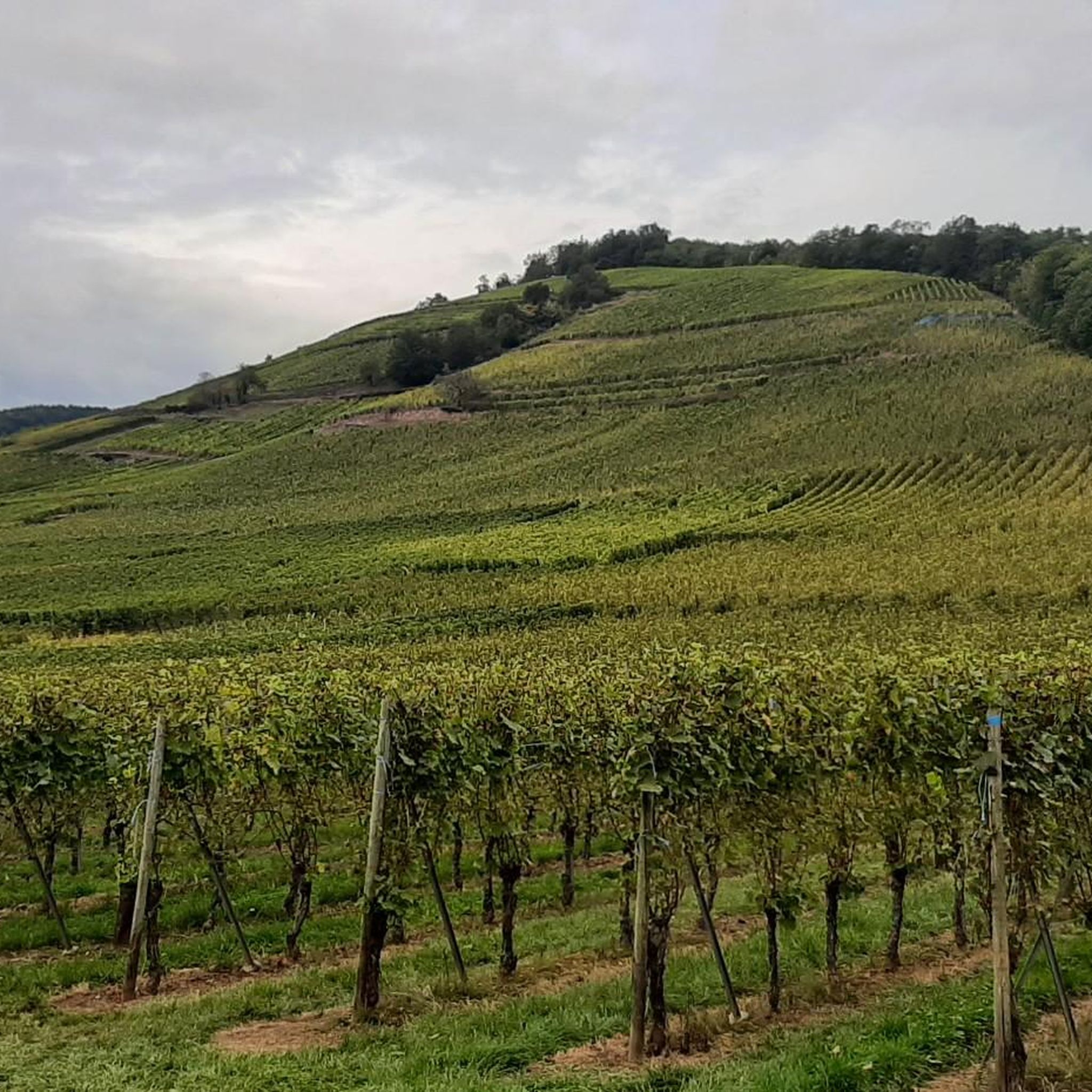
Jogging in Weier Im Thal offers incredibly varied scenery. You can run along the picturesque Fecht Valley with its lush green surroundings, through deep forests, and across high-altitude meadows. Some trails ascend to Vosges ridges, providing breathtaking panoramic views of the mountains, the Alsace plain, and even the Black Forest on clear days. You might also encounter charming Alsatian villages and vineyards.
Are there any running routes that pass by historical sites or landmarks?
Yes, several running routes incorporate historical landmarks. For example, the Ruins of St. Gregor Abbey – Parc de la Fecht, pond loop from Wihr-au-Val - Soultzbach is a 7.7-mile trail that combines historical sites with scenic views. Another challenging route, Le Stauffen – Haneck Castle loop from Wihr-au-Val - Soultzbach, takes you past the remnants of Haneck Castle.
Can I find circular running routes in the area?
Yes, many of the running routes around Weier Im Thal are designed as circular loops, allowing you to start and finish at the same point. A popular option is The Fecht loop from Wihr-au-Val, a 4.5-mile trail that takes you through the scenic Fecht Valley.
What do other runners enjoy most about jogging in Weier Im Thal?
The komoot community highly rates the running trails in Weier Im Thal, with an average score of 4.3 stars. Reviewers often praise the diverse landscapes, from tranquil river paths to challenging mountain ascents, and the opportunity to experience both natural beauty and historical sites. The well-maintained paths and stunning views of the Vosges mountains are frequently highlighted.
Are there any viewpoints or scenic spots along the running trails?
Absolutely. The region is known for its superb views. Many routes along the Fecht Valley offer picturesque river views. For panoramic vistas, trails ascending to the Vosges ridges provide breathtaking outlooks over the Alsace plain and surrounding mountains. The View of the Vosges – The Fecht loop from Soultzbach-les-Bains is a great example, offering stunning mountain views.
Are there any farm inns or places to stop for refreshments along the routes?
Yes, particularly on trails leading to higher elevations and Vosges ridges, you can find traditional farm inns (Ferme-auberges). These offer a chance for a break and a taste of local cuisine amidst stunning natural settings. You can also find highlights like Kahlenwasen Farm Inn or Schantzwasen Inn in the broader area.
What is the best time of year for jogging in Weier Im Thal?
Weier Im Thal offers enjoyable running conditions throughout much of the year. Spring and autumn provide pleasant temperatures and vibrant scenery, with blooming flowers or colorful foliage. Summer is also popular, with shaded forest paths offering respite from the heat. Winter running is possible, but higher elevation trails may require appropriate gear due to snow or ice.
Are there any challenging running routes for experienced runners?
Yes, for experienced runners seeking a challenge, Weier Im Thal offers routes with significant elevation changes and longer distances. These trails often ascend into the Vosges mountains, requiring good fitness and sure-footedness. An example of a difficult route is the Le Stauffen – Haneck Castle loop from Wihr-au-Val - Soultzbach, which covers over 8.8 miles with substantial elevation gain.
Are there any running routes that are particularly suitable for families?
For families, routes with minimal elevation gain and well-maintained paths are ideal. Consider the trails that follow the Fecht River, which often provide a refreshing and picturesque backdrop without being overly strenuous. These paths are generally accessible and offer a pleasant experience for all ages.
Can I combine my run with exploring nearby mountain passes?
Yes, the region is part of the larger Munster Valley and the Regional Natural Park Ballons des Vosges, offering access to several mountain passes. While specific running routes might not directly traverse all passes, you can find highlights like Petit Ballon Pass (1,163 m) or Boenlesgrab Pass in the vicinity, which can be starting points for more challenging runs or scenic drives.
Most popular routes around Weier Im Thal
Most popular attractions around Weier Im Thal

Get inspired with the komoot mobile app


Explore more
Browse the best Running Trails & Routes in other regions.
