The best walks and hikes around Saint-Firmin
4.7
(393)
2,981
hikers
12
hikes
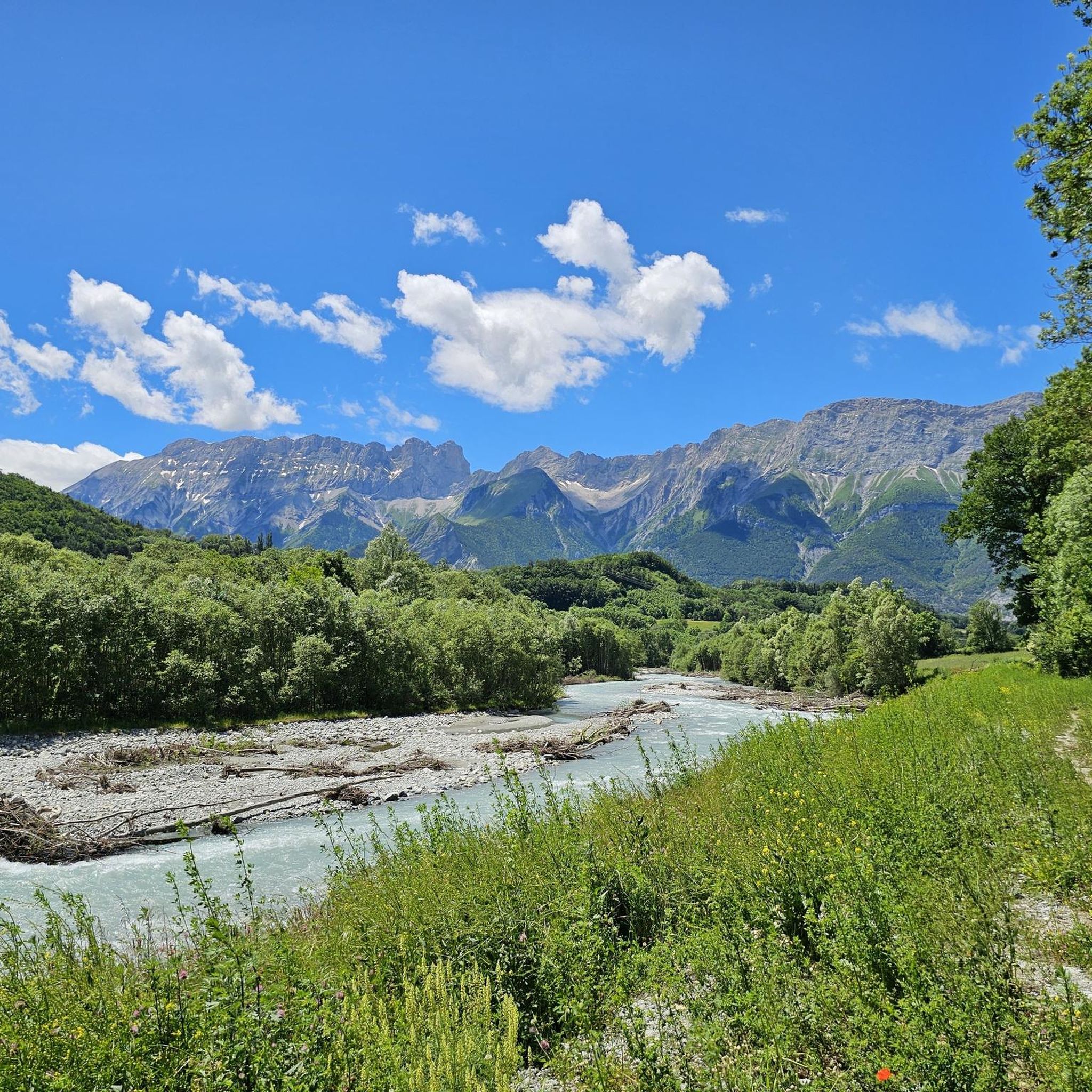
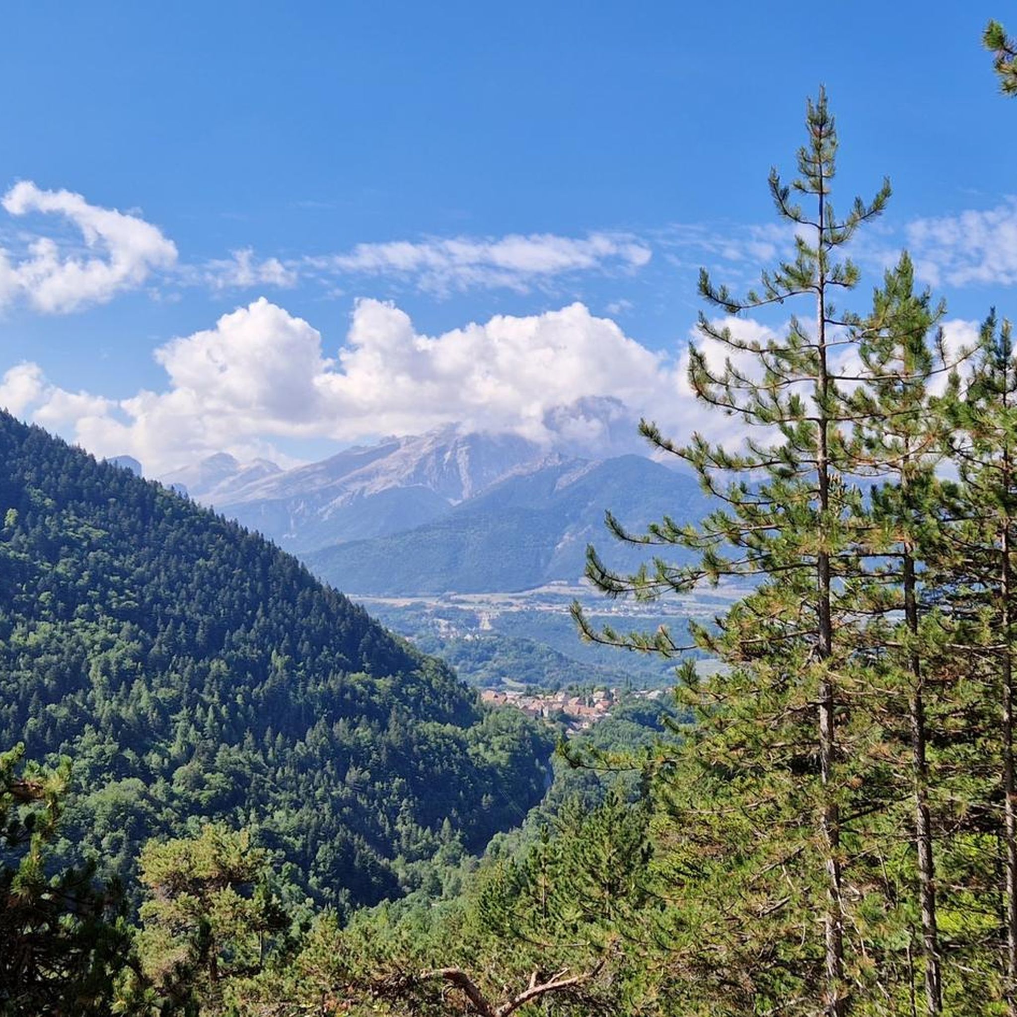
Hiking around Saint-Firmin offers access to diverse alpine environments within and near the Écrins National Park and the Valgaudemar Valley. The region is characterized by high peaks, including those exceeding 3,000 meters, lush meadows, dense forests, and dramatic gorges carved by rivers. Hikers can explore varied terrain ranging from high mountain pastures to steep rock formations and historical sites.
Best hiking trails around Saint-Firmin
- The most popular hiking route is Saint-Jacques en Valgaudemar loop from Le Laus, a 5.2…
Last updated: August 18, 2026
4.0
(7)
23
hikers
8.49km
02:29
230m
230m
Moderate hike. Good fitness required. Easily-accessible paths. Suitable for all skill levels.
4.2
(10)
28
hikers
4.96km
01:27
130m
130m
Easy hike. Great for any fitness level. Easily-accessible paths. Suitable for all skill levels.

Sign up for free
15
hikers
16.1km
08:13
1,290m
1,290m
Hard hike. Very good fitness required. Sure-footedness, sturdy shoes and alpine experience required.
5.0
(2)
11
hikers
12.8km
05:42
1,030m
1,040m
Hard hike. Very good fitness required. Mostly accessible paths. Sure-footedness required.
4.0
(1)
6
hikers
14.8km
04:29
500m
500m
Moderate hike. Good fitness required. Easily-accessible paths. Suitable for all skill levels.
Get access to more routes and recommendations from other explorers.
Sign up for free
Already have an account?
Our route recommendations are based on thousands of hikes, rides, and runs completed by other people on komoot.
Start today with a free account
Your next adventure awaits.
Login or Signup
Tips from the Community

pleasant road with in places path with large stones
0
0

Great visit in winter with no snow. Incredible reflections on the frozen water.
0
0

Built in 1811, the Herbeys canal allows the cultivation of the Aubessagne plateau, which was formerly arid and not very fertile. The canal is 28 kilometers long and uses water from the Séveraisse. The setting is bucolic.
0
0
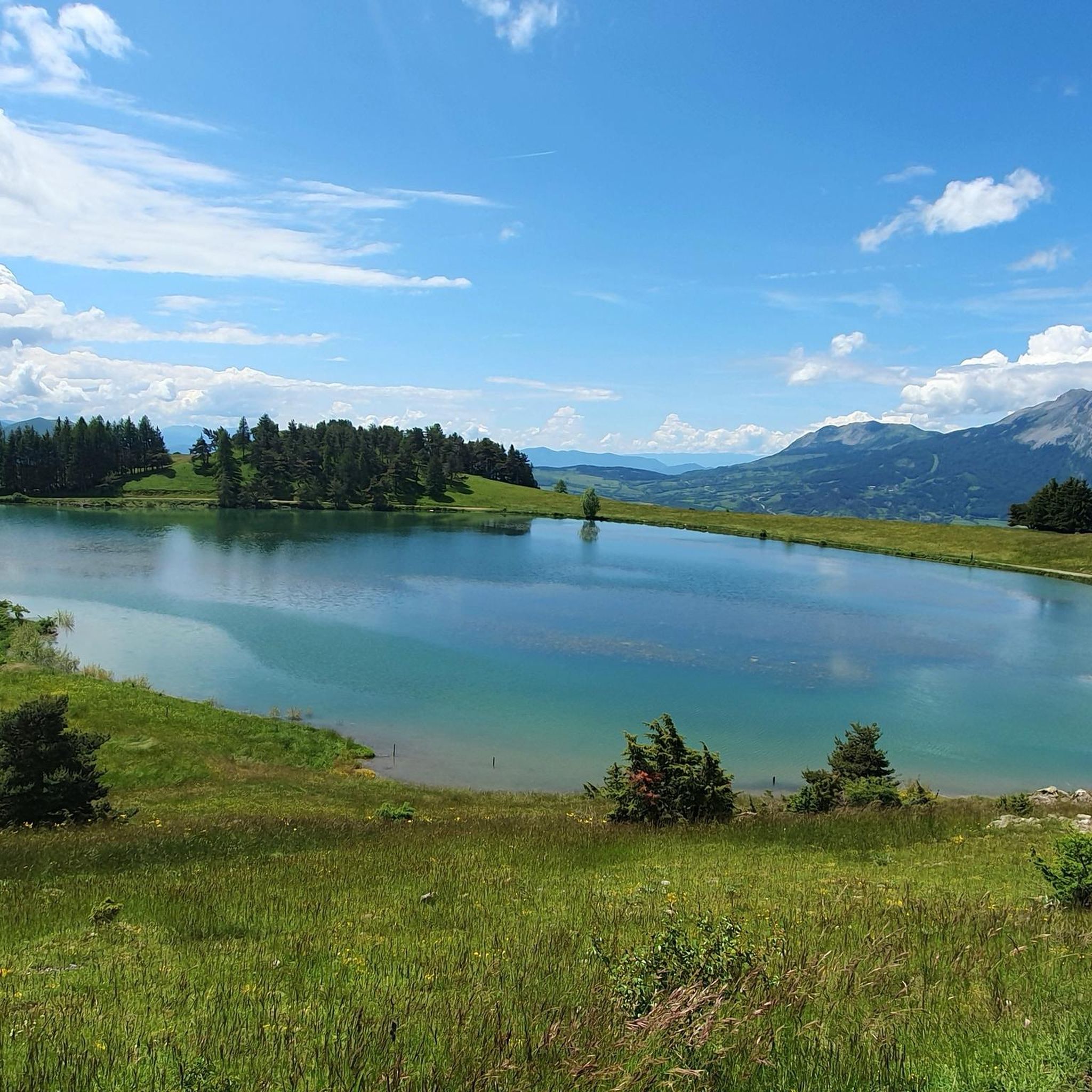
This small artificial lake is an ideal place for a quiet break. You will find a few picnic tables and trees to shelter you from the sun.
0
0
Frequently Asked Questions
What kind of terrain can I expect on hiking trails around Saint-Firmin?
The region around Saint-Firmin, situated near the Écrins National Park and Valgaudemar Valley, offers a diverse range of terrain. You'll find everything from lush meadows and dense beech and coniferous forests to high mountain pastures, dramatic gorges like the Infernet Gorge, and impressive glaciers at higher altitudes. Trails can vary from gentle paths to challenging alpine routes with significant elevation changes.
Are there easy hiking options suitable for beginners or casual walkers?
Yes, Saint-Firmin offers several easy hiking options. These typically last up to two hours with an elevation gain of around 300 meters. For example, the Castle ruin loop from Saint-Firmin is an easy 3.4 km path that provides a gentle walk through historical sites.
What are some challenging hikes for experienced trekkers in the area?
For experienced trekkers, Saint-Firmin provides demanding trails that can exceed five hours or involve over 1,000 meters of elevation gain. These require excellent physical condition and sure-footedness. A notable difficult route is the Grun de Saint-Maurice loop from Col de l'Esparcelet, a 14.7 km trail leading through challenging alpine terrain, often taking nearly 8 hours to complete.
Are there any circular hiking routes available?
Yes, many trails around Saint-Firmin are designed as circular routes, allowing you to start and end at the same point. Examples include the moderate Saint-Jacques en Valgaudemar loop from Le Laus and the more challenging Grun de Saint-Maurice loop from Col de l'Esparcelet. There's also the Lac du Sautet loop from Beaufin, which offers good signposting.
What natural landmarks or viewpoints can I discover on hikes near Saint-Firmin?
The region is rich in natural beauty. You can find stunning viewpoints like the View of the Araches and the Superb panoramic trail. Other natural features include the Lacs de Pétarel, the Gillardes Spring, and the dramatic Infernet Gorge, carved by the Souloise River.
Are there any historical or cultural sites to explore while hiking?
Beyond natural landscapes, the area offers cultural and historical points of interest. You can visit the Sanctuary of Our Lady of La Salette, a significant pilgrimage site. The Castle ruin loop from Saint-Firmin also takes you past historical ruins, and you might encounter abandoned villages like Peines on some trails.
What do other hikers say about the trails in Saint-Firmin?
The hiking trails around Saint-Firmin are highly regarded by the komoot community, with an average rating of 4.6 out of 5 stars from over 300 reviews. Hikers often praise the diverse alpine environment, the stunning views of the Écrins National Park and Valgaudemar Valley, and the variety of routes available for all skill levels.
Are there any huts or refuges available for multi-day hikes?
Yes, for those undertaking longer treks or multi-day tours, the Refuge des Souffles, nestled within the Lautier forest, offers a strategic bivouac spot. It's particularly useful for hikers traversing the GR 54 long-distance trail through the Écrins massif.
Is it possible to reach hiking trailheads using public transport?
While specific public transport options to every trailhead can vary, Saint-Firmin itself is a small commune. For many trails, especially those deeper in the Valgaudemar Valley or Écrins National Park, personal transport is often the most convenient way to reach the starting points. It's advisable to check local bus schedules or shuttle services for specific routes during peak season.
What is the best time of year to go hiking in Saint-Firmin?
The best time for hiking in Saint-Firmin generally spans from late spring to early autumn (May to October). During these months, the weather is typically more stable, and higher-altitude trails are free of snow. Summer offers warmer temperatures and full access to all trails, while spring and autumn provide beautiful seasonal colors and fewer crowds.
Are there any specific peaks or mountains that are popular for hiking?
The region boasts several significant peaks. The Grun de Saint-Maurice is an imposing peak at the entrance to the Valgaudemar Valley, and the Grun de Saint-Maurice loop from Col de l'Esparcelet offers a challenging ascent. Other notable mountains include the Bec de l'Aigle, Vieux Chaillol (3,163m), and Petit Chaillol (2,777m), which are integral parts of the Écrins massif and offer rewarding views.
Most popular attractions around Saint-Firmin

Get inspired with the komoot mobile app


Explore more
Browse the best Hikes in other regions.
