Top 7 Mountain Passes around Sankt Petersholz
Best mountain passes around Sankt Petersholz offers a collection of routes for exploring diverse mountainous terrain. This guide focuses on areas known for their elevation changes, providing opportunities for cycling and hiking. The region's character is defined by its varied landscapes, from dense forests to open plateaus. These passes present a range of gradients and distances for outdoor enthusiasts.
Best mountain passes around Sankt Petersholz
- The most popular mountain passes is Champ du Feu, a summit that offers panoramic…
Last updated: June 26, 2026
Champ du Feu
Highlight • Summit
Translated by Google •
Tip by

Champ du Feu Monoliths
Highlight • Natural Monument
Translated by Google •
Tip by

Sign up now to discover places like this
Get recommendations on the best single tracks, peaks, & plenty of other exciting outdoor places.
Sign up for free
Charbonnière Pass
Highlight • Pub
Translated by Google •
Tip by

Kreuzweg Pass
Highlight • Mountain Pass
Translated by Google •
Tip by
Fouchy Pass
Highlight • Mountain Pass
Translated by Google •
Tip by
Sign up for free to discover even more mountain passes around Sankt Petersholz.
Sign up for free
Already have an account?
Start today with a free account
Your next adventure awaits.
Login or Signup

Tips from the Community

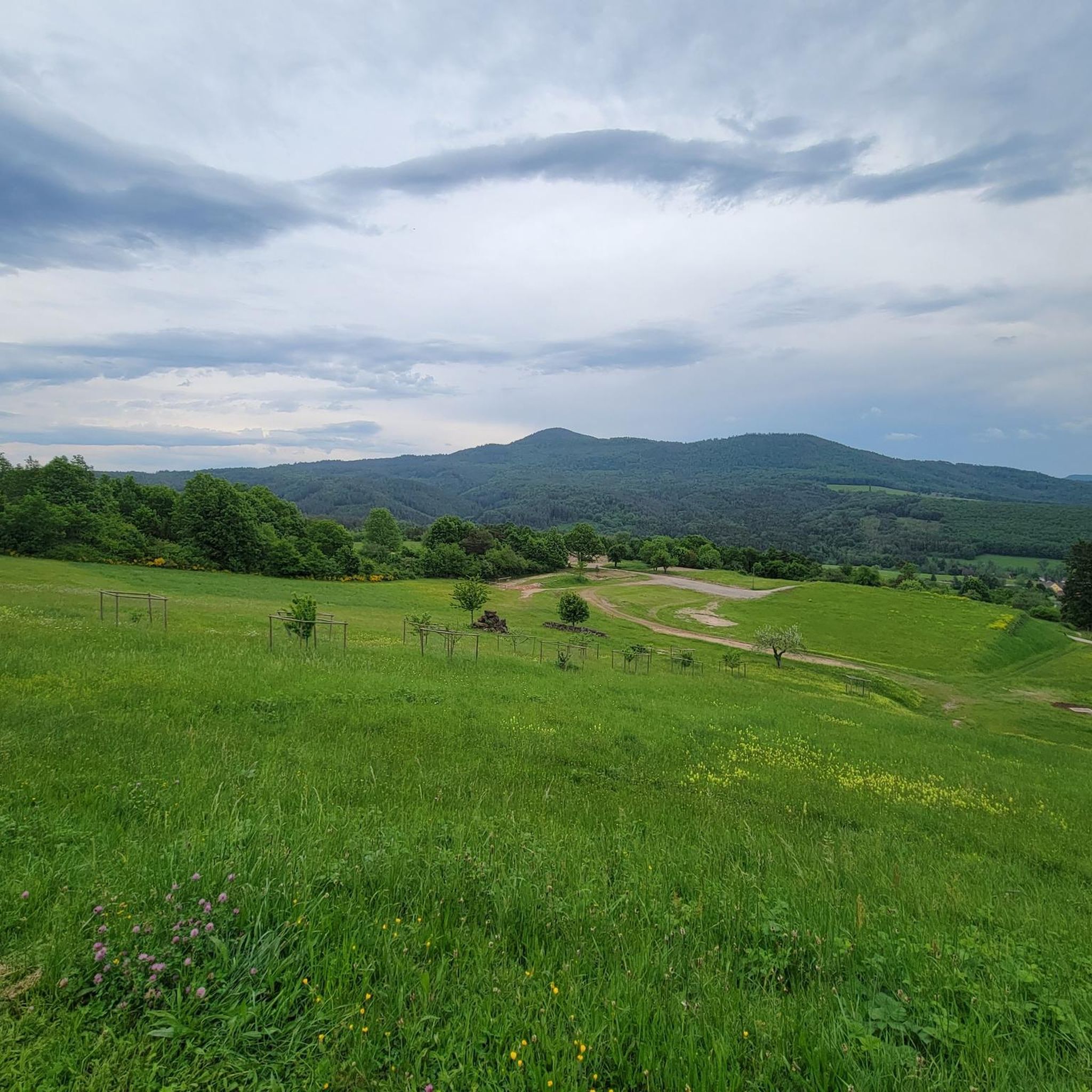
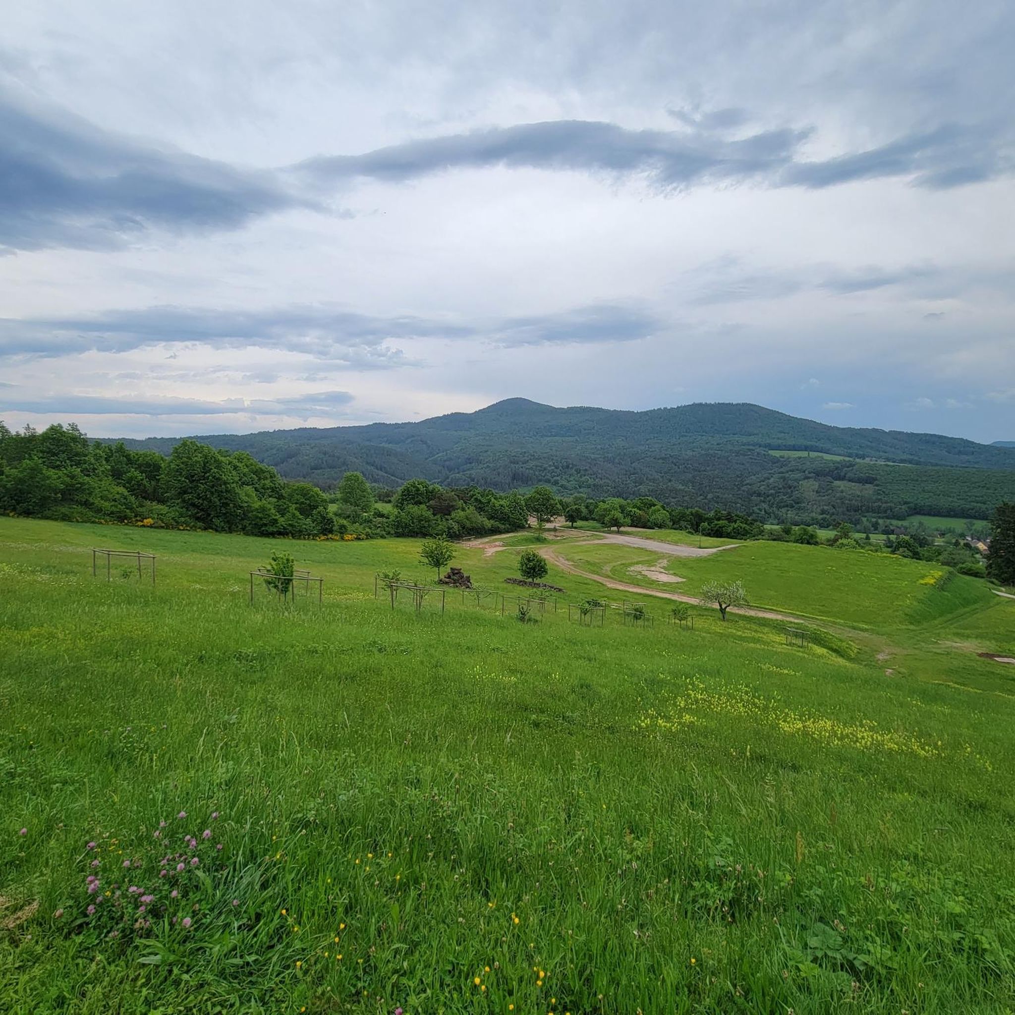
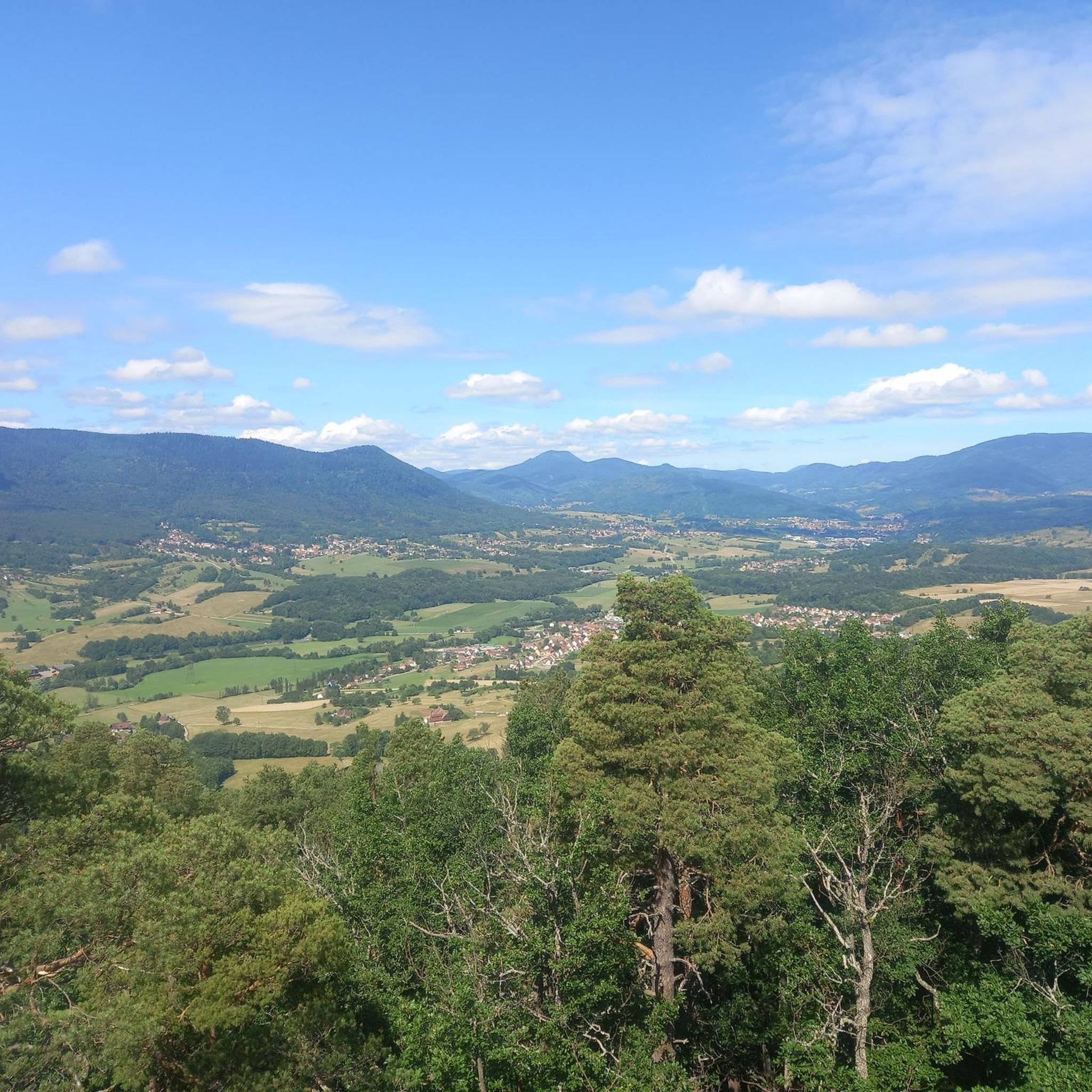
Champ du Feu, at 1099 meters, is the highest mountain in the Bas-Rhin department of the Vosges in Alsace. It is located between the villages of Belmont and Le Hohwald and consists of an extensive high plateau with forests, meadows, and moorlands. The area is a popular nature and recreational area. In summer, it is mainly used for hiking, mountain biking, and nature observation. In winter, there is a small ski resort with cross-country trails and simple slopes for winter sports. The stream La Serva originates from Champ du Feu and later forms the Cascade de la Serva. In clear weather, the summit offers wide views over the Vosges, the Rhine plain, and as far as the Black Forest. The area is particularly known for its tranquil nature, high moors, sunrises and starry skies, as well as well-marked hiking trails.
0
0


Possible origins of the name: Celtic rituals: It is believed that solstice and sacrificial fires were lit here in Celtic times. Charcoal burners' fire: The "fire" could also refer to the fires lit by charcoal burners in the surrounding forests of the Vosges Mountains. Cattle pasture: A popular theory states that the French word "feu" is a corruption of the German word "Vieh," meaning "field of cattle," as it was a sparsely wooded plateau where cattle could graze. Text from the Internet
1
0

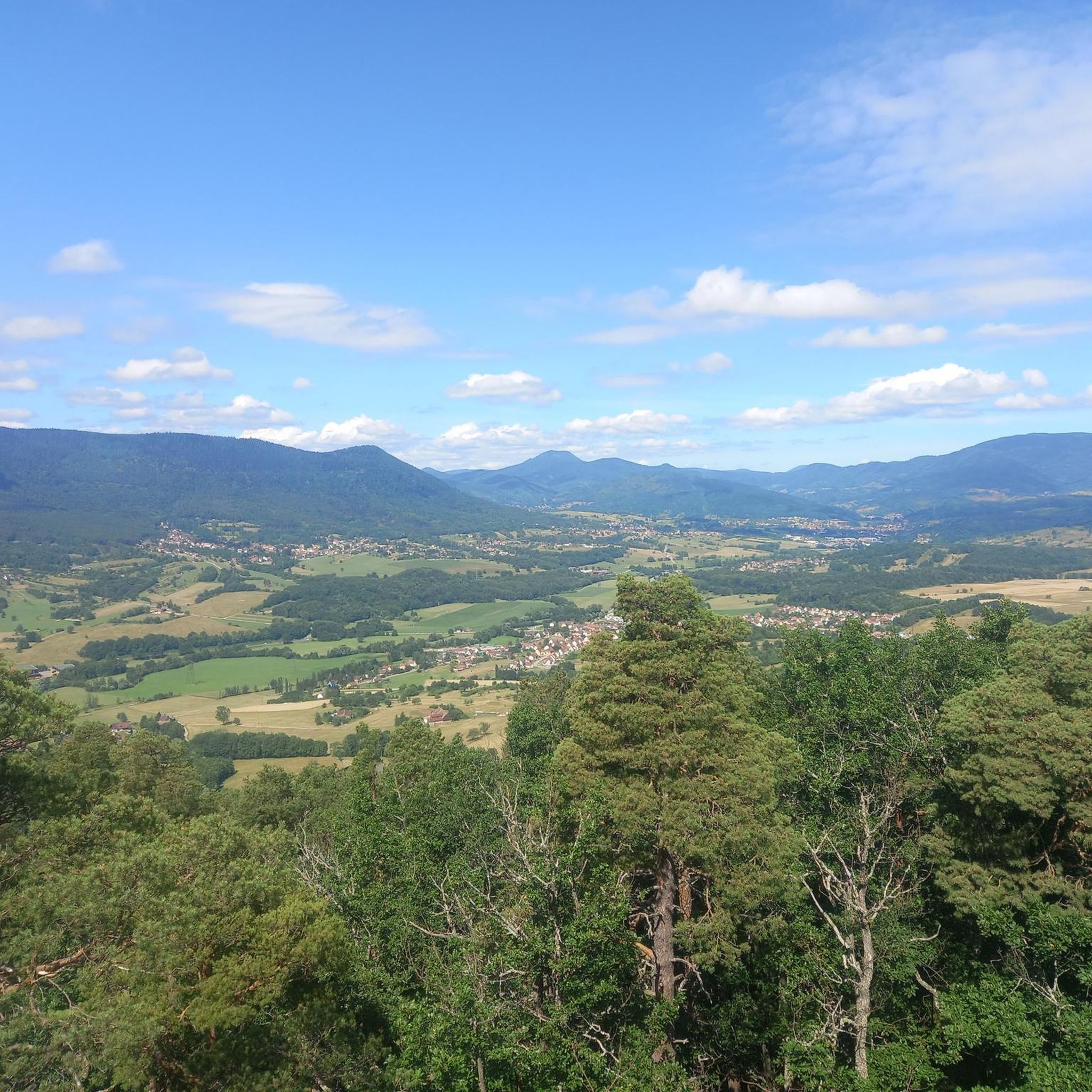
Magnificent pass to climb from different slopes (Breitenbach, Steige, Vallée de la Bruche, Andlau). It is also a crossing point towards the Champ du feu, the Hohwald, the Mont Ste Odile.
0
0

Pass culminating at 960 m altitude.
0
0

If you come from the Col de la Charbonnière, it is only a few meters uphill again and then you have already reached the top of the pass.
1
0

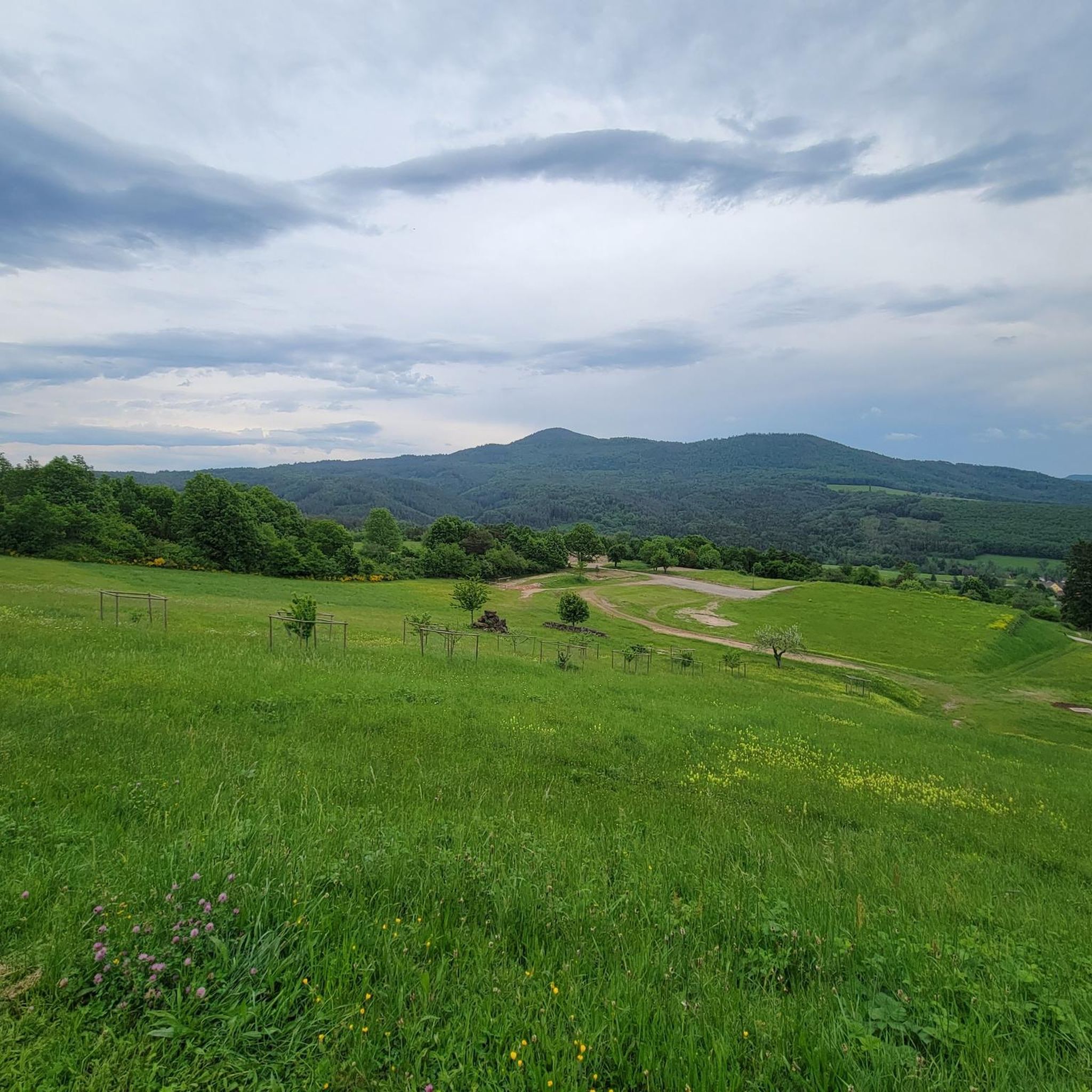
Halfway between the charming hamlet of Hohwald and the Champ du Feu station, the Kreuzweg pass offers a pleasant stopover. In the middle of the imposing forest of the massif, it offers unobstructed views at an altitude of 768 meters. It is a good place to spend the night in the mountains with the presence of two farm inns. There is also an adventure park for the enjoyment of young people.
0
0

Today the restaurant was completely full at 1 p.m. You should probably make a reservation here. TEL: +33 3 88 08 31 17
2
0
Frequently Asked Questions
Where are the mountain passes mentioned in this guide actually located?
The mountain passes featured in this guide, such as Champ du Feu and Charbonnière Pass, are situated in a mountainous region, likely the Vosges Mountains in France, which are adjacent to the Black Forest. The name 'Sankt Petersholz' as a low-lying area in Germany does not feature mountain passes. This guide focuses on the specific passes detailed within its content.
What kind of terrain and elevation changes can I expect on these mountain passes?
You can expect varied terrain with significant elevation changes. For example, Kreuzweg Pass features an average gradient of 4.2% over 13 km, with maximum gradients reaching 12%. These passes often include forested sections and offer diverse gradients for cycling and hiking.
Are there any family-friendly options among these mountain passes?
While specific family-friendly routes are not detailed for each pass, Charbonnière Pass is noted as family-friendly due to its facilities, including a restaurant. Generally, passes with lower average gradients and amenities can be more suitable for families.
What natural features and viewpoints can I discover on these passes?
Many of these passes offer stunning natural features and viewpoints. Champ du Feu is known for its panoramic views and dense forests. Kreuzweg Pass also provides beautiful forest views. You'll find opportunities to enjoy the mountainous landscape and scenic vistas.
Are there historical sites or landmarks near these mountain passes?
Yes, for instance, Schaentzel House is a historical site and a man-made monument located near one of the passes. It's an old house worth a look for those interested in architecture and offers views over the Vosges Mountains and the Rhine Valley.
What outdoor activities can I do near these mountain passes?
The region offers a variety of outdoor activities. You can find numerous hiking trails, such as the 'Bernstein Castle – Falkenstein Rock loop' or 'Ungersberg's summit – Hering Tower on Ungersberg loop'. There are also MTB trails like 'Magnificent views – Great spot for a rest!' and cycling routes including 'Urbeis Pass – Col de Steige loop'. For more details, explore the hiking, MTB, and cycling guides for the area.
Are there places to eat or stay near the mountain passes?
Yes, Charbonnière Pass features an auberge with a restaurant and offers accommodation, making it a convenient stop for refreshments or an overnight stay. It's a popular meeting point for various routes.
What do visitors enjoy most about these mountain passes?
Visitors appreciate the diverse landscapes, from dense forests to open plateaus, and the opportunities for cycling and hiking. The panoramic views, especially from places like Champ du Feu, are highly rated. The variety of challenges and exploration options also contribute to a positive experience.
How can I find out about the difficulty of specific routes or passes?
Information about difficulty is often included in the descriptions. For example, Kreuzweg Pass has an average gradient of 4.2% with maximums of 12%. Similarly, Fouchy Pass from Fouchy has an average gradient of 5.72% over 5.3 km. Route guides for hiking, MTB, and cycling also provide difficulty grades for specific tours.
Is there public transport available to reach trailheads near these passes?
While specific public transport routes directly to trailheads are not detailed in the guide, many mountainous regions offer local bus services that connect villages and popular starting points. It's advisable to check local transport schedules for the specific area you plan to visit.
What is the best time of year to visit these mountain passes?
The best time to visit generally depends on your activity. Spring and autumn offer pleasant temperatures for hiking and cycling, with vibrant foliage in autumn. Summer is also popular, though it can be warmer. Winter can bring snow, making some passes suitable for winter sports like skiing, as mentioned for Champ du Feu.
Most popular routes around Sankt Petersholz
Most popular attractions around Sankt Petersholz

Get inspired with the komoot mobile app


Explore more
See even more epic mountain passes by checking out these guides around Sankt Petersholz:
