The best running trails around La Ville-Ès-Nonais
4.4
(11)
568
runners
17
runs
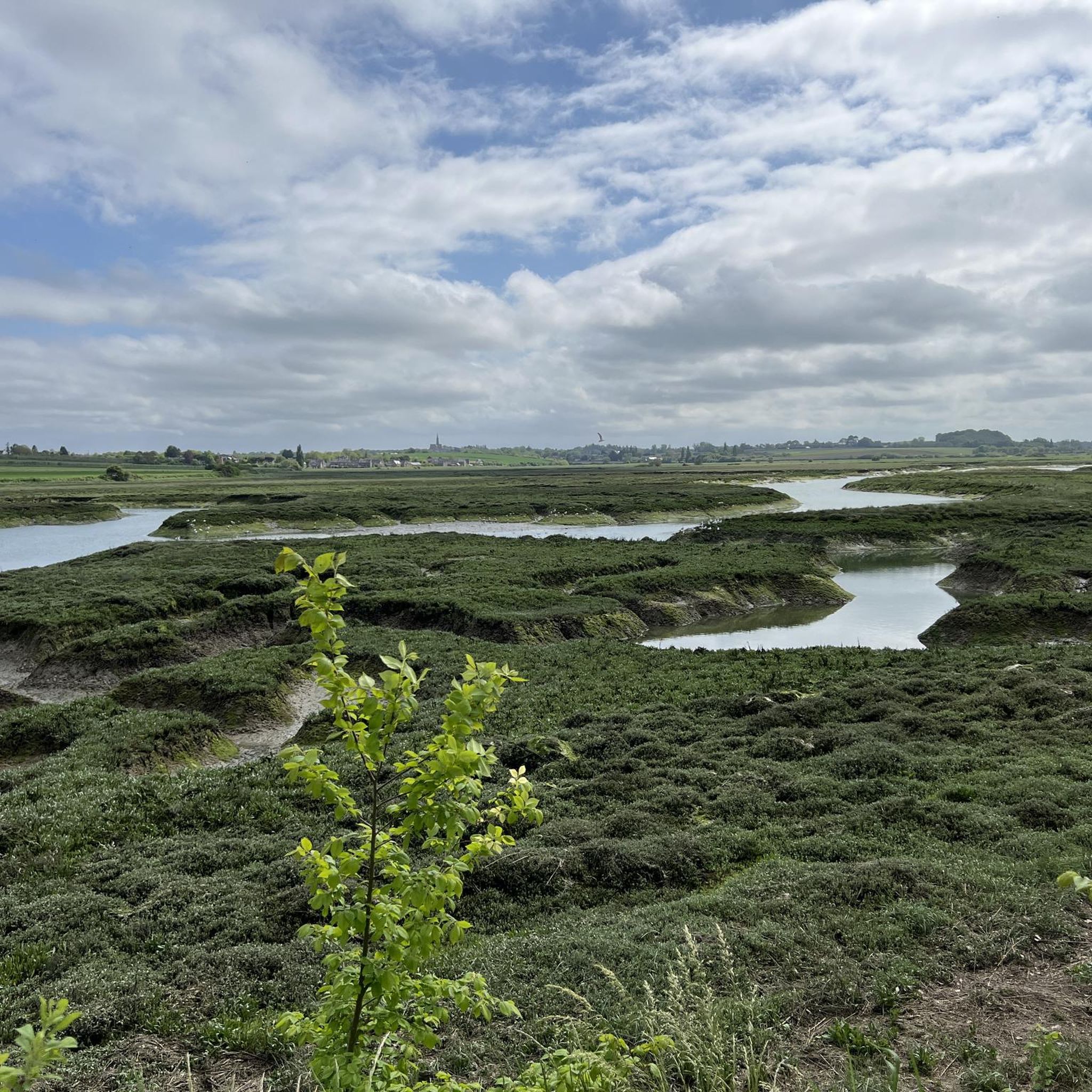
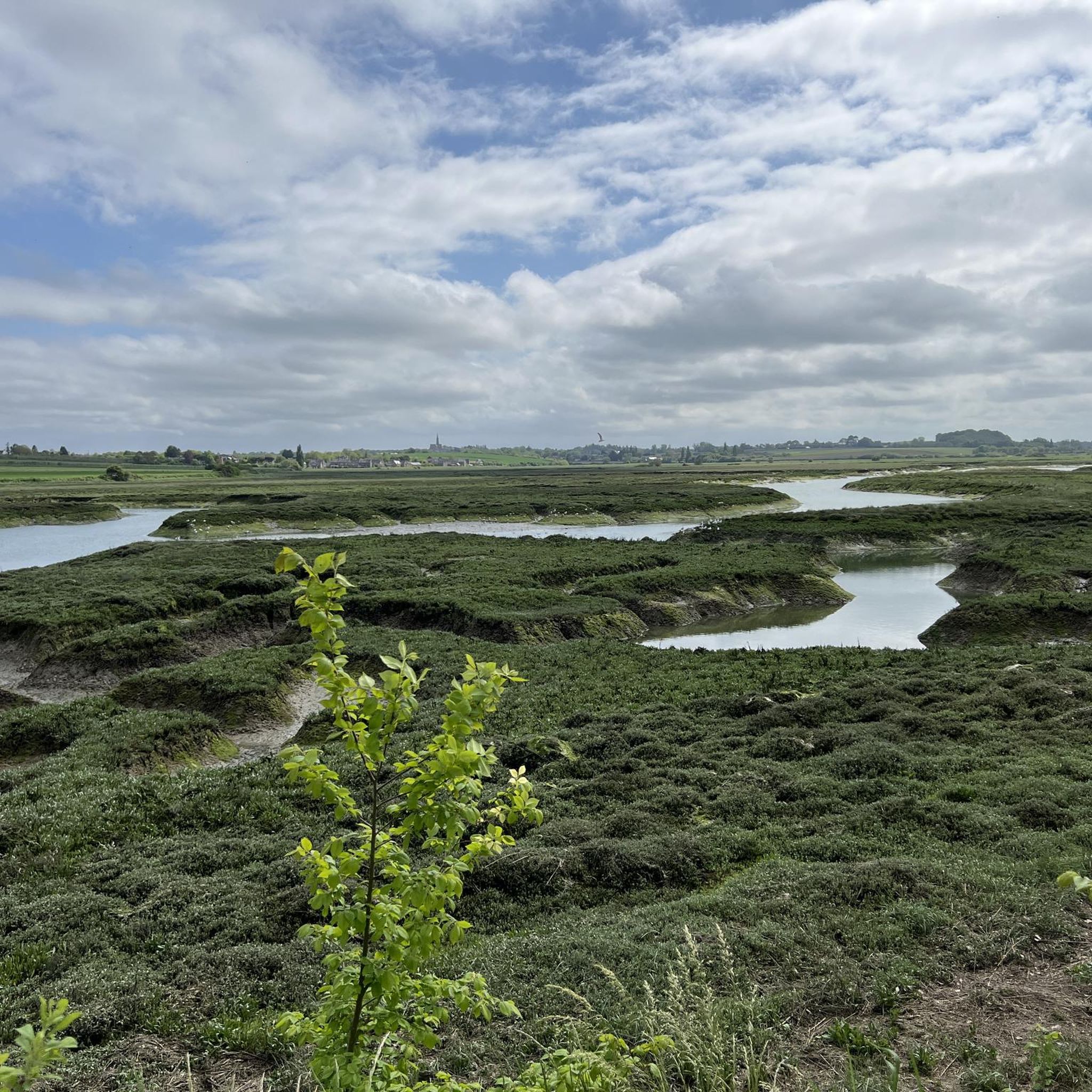
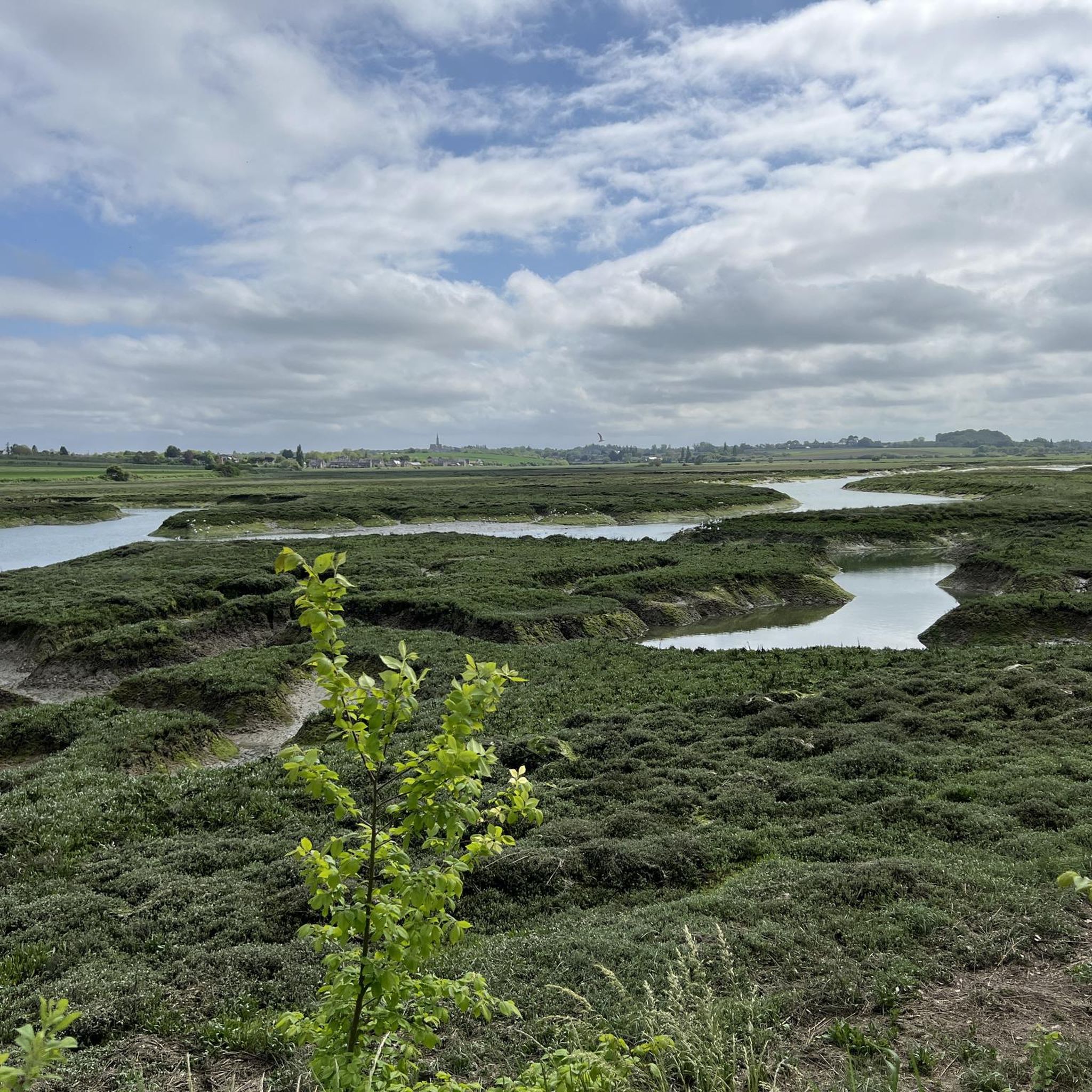
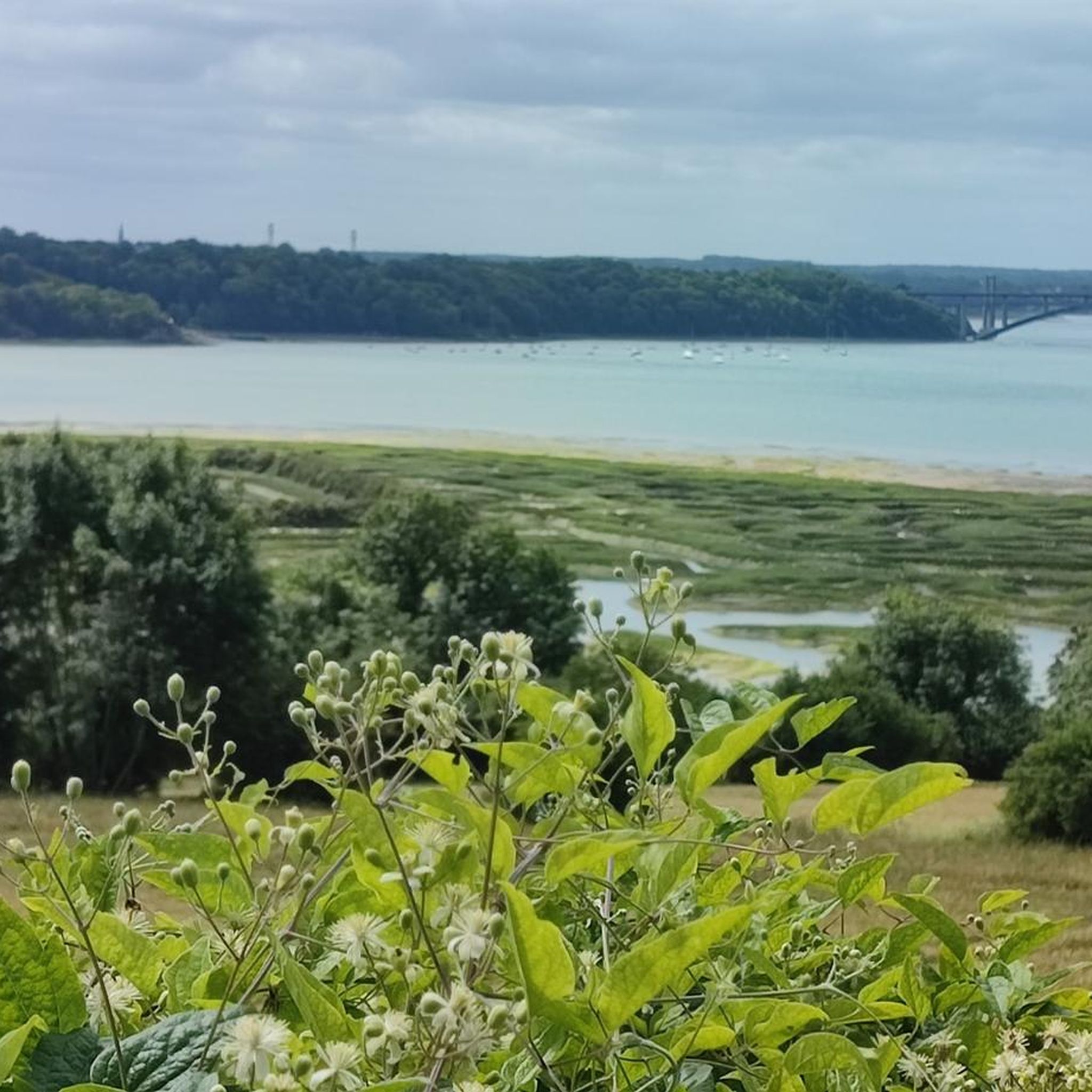
Jogging routes around La Ville-Ès-Nonais offer a diverse environment along the maritime Rance in Ille-et-Vilaine, Brittany. The region is characterized by its position along the Rance estuary, providing a blend of land and sea. Paths traverse riverside areas, including grèves, and extend into the inland countryside. High points like Mont Gareau provide panoramic views.
Best jogging routes around La Ville-Ès-Nonais
- The most popular jogging route is Pont Saint-Hubert – Mordreuc and its tidal mill loop from La Ville-ès-Nonais, a…
Last updated: June 29, 2026
4.5
(4)
162
runners
Hard run. Very good fitness required. Mostly paved surfaces. Suitable for all skill levels.
5.0
(1)
108
runners
12.6km
01:28
180m
180m
Moderate run. Good fitness required. Mostly paved surfaces. Suitable for all skill levels.

Sign up for free
11
runners
7.18km
00:46
90m
90m
Moderate run. Good fitness required. Mostly paved surfaces. Suitable for all skill levels.
4.5
(4)
192
runners
15.6km
01:44
150m
150m
Hard run. Very good fitness required. Mostly paved surfaces. Suitable for all skill levels.
6
runners
8.92km
01:02
150m
150m
Moderate run. Good fitness required. Mostly paved surfaces. Suitable for all skill levels.
Get access to more routes and recommendations from other explorers.
Sign up for free
Already have an account?
Our route recommendations are based on thousands of hikes, rides, and runs completed by other people on komoot.
Start today with a free account
Your next adventure awaits.
Login or Signup

Tips from the Community

Highest point of the Agglomeration of Saint-Malo, view over the Rance estuary. Numerous nearby trails on foot or MTB/Gravel
0
0

The bridge is closed to car traffic until 2028, but passage is still possible on foot or by bicycle.
2
0

On the banks of the Rance, classified among the most beautiful villages in France.
0
0

In summer there is a festival here with old crafts, Breton dancing and delicious regional food.
0
0
One of the most beautiful and authentic villages in the Saint-Malo region.
0
0

It's impossible to ride a bike here and it's also forbidden; we had to climb up and down steep, slippery stairs; you can hike there but not cycle!
0
0

A lookout point over the Rance estuary, Saint-Suliac is one of the most beautiful villages in France. To see, the beautiful granite stone houses in the streets, the tide mill, the old salt works, or even the menhir.
1
0

Saint-Suliac is a beautiful village in the Ille-et-Vilaine department of Brittany, France. It is classified as one of the most beautiful villages of France and has a rich maritime heritage. Saint-Suliac is located on the banks of the Rance river, an estuary that is home to many species of birds and mammals. The village has charming streets with granite houses and flower-filled alleys, some of which are decorated with fishing nets. The village also has a 13th-century church, a chapel dedicated to the Virgin Mary, a megalithic monument, and the ruins of a Viking camp.
7
0
Frequently Asked Questions
How many running routes are available around La Ville-Ès-Nonais?
There are over 15 dedicated running routes around La Ville-Ès-Nonais, offering a variety of experiences for different fitness levels. The komoot community has explored 18 routes in total.
What kind of terrain can I expect on the running trails in this region?
The terrain around La Ville-Ès-Nonais is quite diverse. You'll find paths along the picturesque Rance riverbanks, including grèves (shores), as well as trails that venture into the inland countryside. Some routes also feature dramatic cliffs, offering a blend of land and sea landscapes.
What are the difficulty levels of the running routes?
The running routes cater to various abilities. There are 2 easy routes, 13 moderate routes, and 3 difficult routes, ensuring options for beginners and experienced runners alike.
Are there any circular running routes in La Ville-Ès-Nonais?
Yes, many of the running routes are circular. For example, the Pont Saint-Hubert – Mordreuc and its tidal mill loop is a popular option, as is the Mount Gareau Ridge – Vierge de Grainfollet loop. These loops allow you to start and finish in the same location.
What scenic viewpoints can I find along the running routes?
High points like Mont Garrot and Mont Gareau offer magnificent panoramic vistas. From Mont Garrot, you can see towards Saint-Suliac and Anse de Vigneux. Mont Gareau, the highest point in the region, provides a superb 360° panorama where, on clear days, you might even spot Mont-Saint-Michel. You can also enjoy views of the Moulin de Quinard.
Are there any interesting landmarks or attractions to see while running?
Absolutely! You can encounter the historic Beauchet Tidal Mill and the impressive Pont Saint-Hubert. The area also boasts a rich maritime heritage, including the historical Viking camp of Gardaine, and paths like the Chemin de Halage Along the Rance in Taden.
What do other runners enjoy the most about jogging in La Ville-Ès-Nonais?
The area is highly rated by the komoot community, with an average score of 4.4 stars. Runners often praise the diverse landscapes, the stunning Rance estuary views, and the well-maintained trails that offer a mix of riverside and inland experiences.
Are there any shorter, easier running options for beginners or a quick jog?
Yes, there are a couple of easy routes available. For a shorter, moderate option, consider the Pont Saint-Hubert loop from La Ville-ès-Nonais, which is about 5.8 km (3.6 miles) long.
Can I find longer running trails for endurance training?
Certainly. For more challenging and longer runs, routes like the Pont Saint-Hubert – Mordreuc and its tidal mill loop cover approximately 30.2 km (18.7 miles). Another difficult option is the Le Pont Saint Hubert loop from Pleudihen-sur-Rance, which is around 25.9 km (16.1 miles).
Is La Ville-Ès-Nonais a good place for trail running events?
Yes, the region is well-suited for trail running. The local 'Jogging Détente Nonaisienne' club organizes events like the 'Trail des 2 Ponts,' a 32 km trail race that primarily uses the natural trails along the Rance, highlighting the area's suitability for such activities.
What is the best time of year for jogging in La Ville-Ès-Nonais?
While jogging is enjoyable year-round, spring and autumn generally offer the most pleasant conditions with mild temperatures and beautiful scenery. Summer can also be great, especially in the mornings or evenings, to avoid the warmest parts of the day.
Are there any routes that offer a blend of river and countryside views?
Many routes in the area provide this blend. The region is defined by its position along the Rance estuary, so you'll frequently find paths traversing both the riverside areas and extending into the inland countryside, offering a dynamic mix of blue and green hues.
Most popular routes around La Ville-Ès-Nonais
Most popular attractions around La Ville-Ès-Nonais

Get inspired with the komoot mobile app


Explore more
Browse the best Running Trails & Routes in other regions.
