The best road cycling routes around Saint-Suliac
4.4
(368)
10,383
riders
532
rides
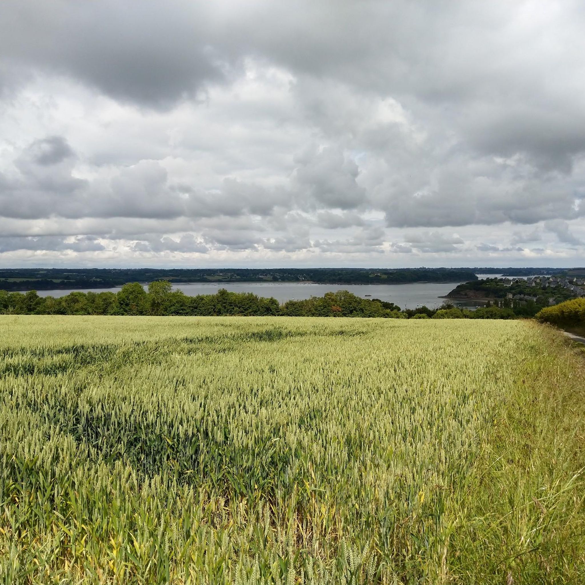
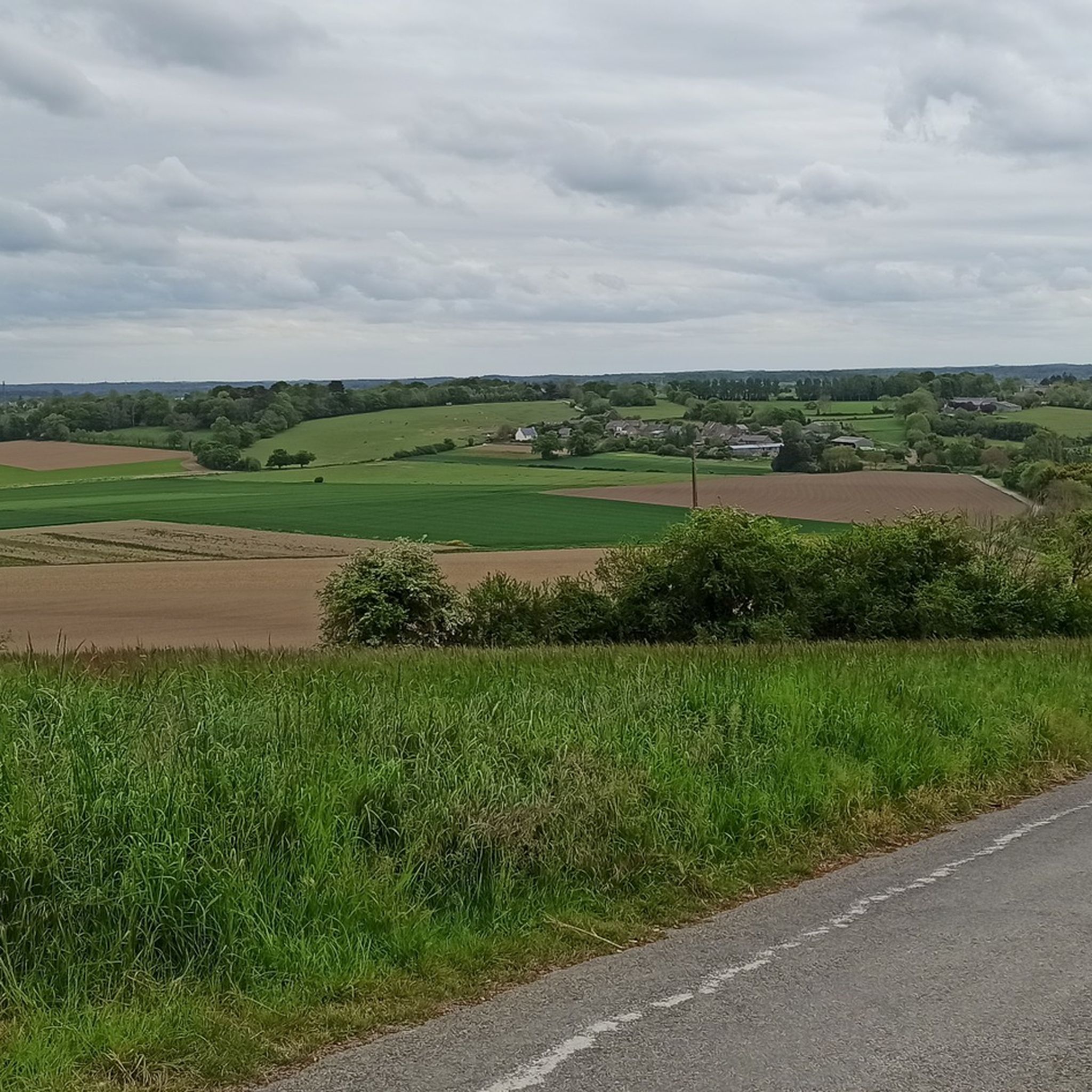
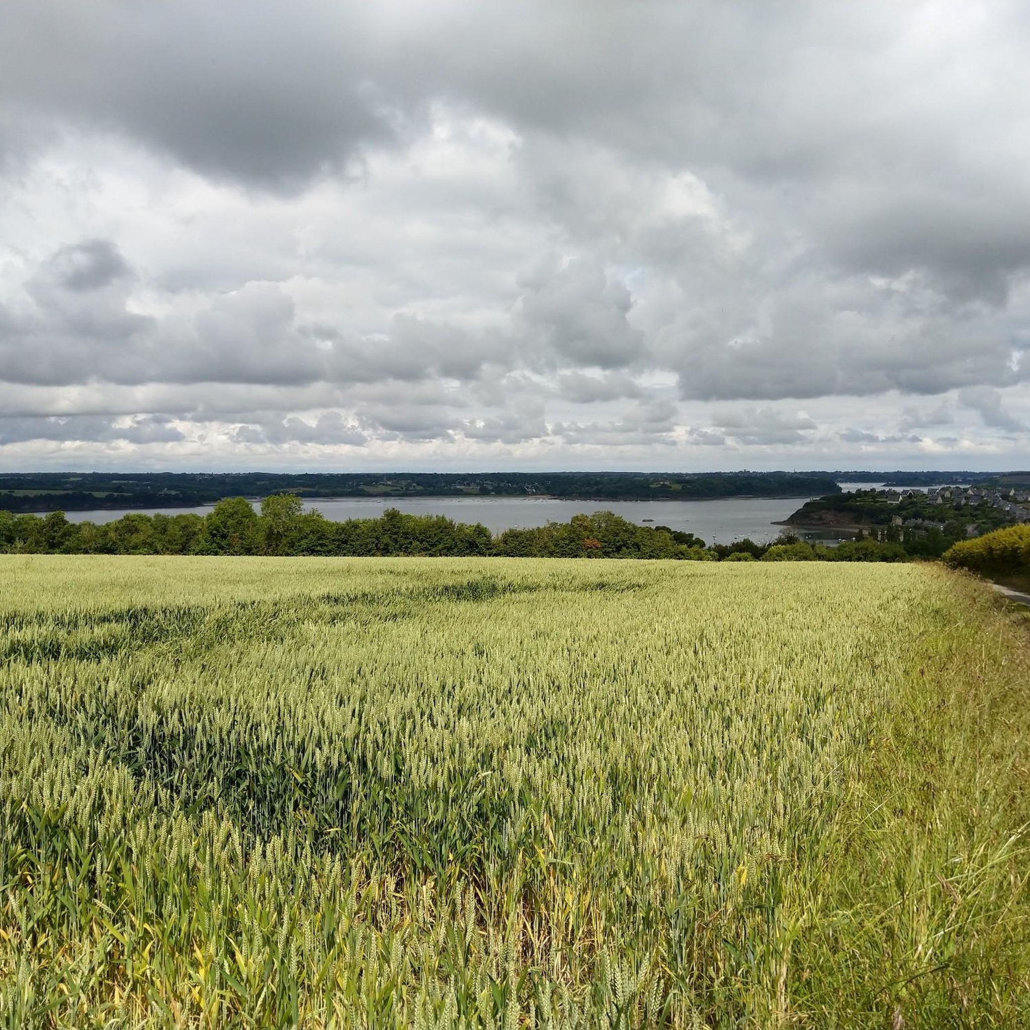
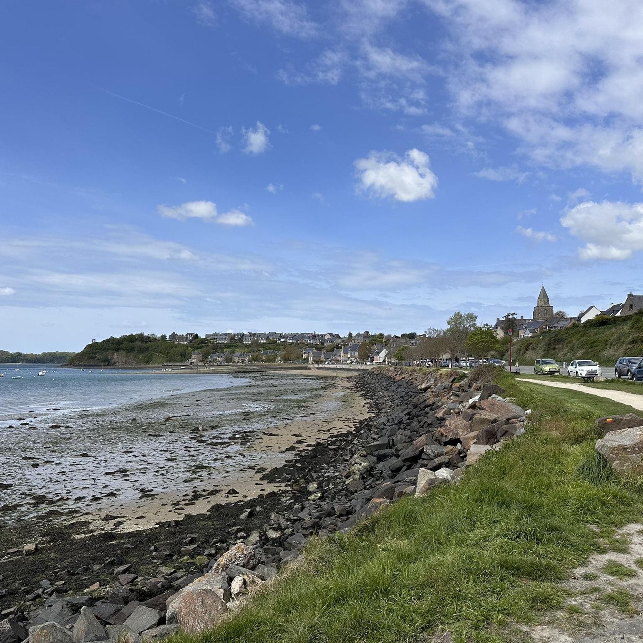
Road cycling routes around Saint-Suliac traverse the scenic Rance estuary region in Brittany, France. The terrain is characterized by a mix of coastal roads, river views, and gently rolling countryside. Road cyclists can expect routes that offer a blend of flat sections along the water and moderate ascents through the inland areas. The landscape features historic villages and open fields, providing varied backdrops for rides.
Best road cycling routes around Saint-Suliac
- The most popular road cycling route is Saint-Suliac –…
Last updated: July 1, 2026
4.8
(4)
80
riders
Easy road ride. Great for any fitness level. Mostly well-paved surfaces and easy to ride.
3.8
(5)
68
riders
Moderate road ride. Good fitness required. Mostly well-paved surfaces and easy to ride.

Sign up for free
5.0
(1)
25
riders
27.9km
01:17
270m
270m
Easy road ride. Great for any fitness level. Mostly well-paved surfaces and easy to ride.
17
riders
54.8km
02:27
520m
520m
Moderate road ride. Good fitness required. Some segments of this route may be unpaved and difficult to ride.
5.0
(1)
12
riders
Moderate road ride. Great for any fitness level. Some segments of this route may be unpaved and difficult to ride.
Get access to more routes and recommendations from other explorers.
Sign up for free
Already have an account?
Our route recommendations are based on thousands of hikes, rides, and runs completed by other people on komoot.
Start today with a free account
Your next adventure awaits.
Login or Signup

Tips from the Community

Very impressive. Part of the fortification.
0
0
Very nice bridge, right on the harbor. You should definitely go.
0
0

The bridge is closed to car traffic until 2028, but passage is still possible on foot or by bicycle.
2
0

The harbor with the old bridge is one of the most beautiful corners of Dinan.
1
0

The Château de Dinan is a 14th-century medieval castle located in the heart of the city. It served as a defensive fortification and residence of local nobles. Part of the city walls, the castle features an imposing round tower, battlements, and loopholes. Today, it is a museum and offers panoramic views of the city and the Rance River.
1
0
The Grand'Porte de Saint-Malo is the oldest surviving gate in the city, built in 1582. It consists of two massive round towers connected by a wall and served as the main entrance to the fortified old town (Intra-Muros) until 1708. The gate features niches containing statues of the Madonna and Child ("Notre-Dame des Miracles") and "Saint Christopher," the latter of which is associated with the legend of stopping the great fire of 1661. The Grand'Porte played an important role in defense, trade, and customs control.
1
0
The Esplanade Saint-Vincent is the central square at the main entrance to the Old Town. It is located directly in front of the historic Porte Saint-Vincent and connects the city walls to the Plage du Sillon beach. The square serves as an important meeting point for visitors and locals and is the starting point for many city tours. It houses the Tourist Information Office, a large parking garage (Q-Park Saint-Vincent), public restrooms, charging stations for electric cars, bus stops, and a taxi stand. The esplanade is barrier-free and therefore easily accessible for people with limited mobility. It is also frequently used for markets, concerts, and cultural events.
2
0

At 3 km long, this is the largest sandy beach in Saint-Malo. Walking along this beach, you can reach Intra-Muros in Paramé. Sillon Beach includes Grande Plage, Hoguette Beach, and Rochebonne Beach. La Digue was built from 1883 to 1913 on an old sandbar (the Sillon) that once connected Paramé to the walled city and provided the only dry-land access at low tide. Originally, a strip of sand was covered with dunes that grew higher and higher as one moved toward Rochebonne, with only a succession of windmills remaining. The first causeway was built in 1509, rebuilt and widened several times... Le Digue, 1,671 meters long, runs along Grande Plage and offers a pleasant stroll, lined with numerous villas built towards the end of the 19th century. Along the Sillon, a line of breakwaters protects the seawall from the force of the waves. Built in the early 19th century based on an idea by the civil engineer Robinault de St-Servan, the oak breakwaters have a depth at least equal to, or even greater than, their visible height.
2
0
Frequently Asked Questions
How many road cycling routes are available around Saint-Suliac?
There are nearly 500 road cycling routes available around Saint-Suliac, offering a wide variety of options for different skill levels and preferences.
Are there easy road cycling routes suitable for beginners in Saint-Suliac?
Yes, Saint-Suliac offers over 100 easy road cycling routes. A great option for beginners is the Saint-Suliac – Beauchet Tidal Mill loop from Saint-Suliac, which is 24.3 miles (39.1 km) long and features views of the Rance estuary and the historic Beauchet Tidal Mill.
What kind of terrain can I expect on road cycling routes around Saint-Suliac?
The terrain around Saint-Suliac is characterized by a mix of coastal roads, scenic river views along the Rance estuary, and gently rolling countryside. You'll find a blend of flat sections near the water and moderate ascents through inland areas, passing through historic villages and open fields.
Are there any challenging road cycling routes for experienced cyclists?
Yes, for more experienced cyclists seeking a challenge, there are 20 difficult road cycling routes available. These routes often feature more significant ascents and longer distances, providing a robust workout amidst the region's varied landscapes.
What are some popular circular road cycling routes in the area?
Many routes around Saint-Suliac are designed as loops. A popular choice is the Saint-Suliac – Saint-Suliac loop from Saint-Suliac, a 19.4-mile (31.2 km) trail offering varied terrain through the local countryside. Another well-liked option is the Beauchet Tidal Mill – Saint-Suliac loop from Saint-Suliac, which covers 20.6 miles (33.1 km) through coastal and rural landscapes.
What is the best time of year for road cycling in Saint-Suliac?
The best time for road cycling in Saint-Suliac is generally from spring through early autumn (April to October) when the weather is mild and the days are longer. While winter cycling is possible, be prepared for cooler temperatures and potentially more unpredictable weather conditions.
Are there any notable landmarks or attractions to see along the road cycling routes?
Yes, the routes often pass by interesting landmarks. You can explore historical sites like the Saint-Malo Castle or the Bidouane Tower. Natural highlights include viewpoints such as La Pointe du Puits and Pointe de la Malouine, offering stunning estuary views.
What do other road cyclists enjoy most about cycling in Saint-Suliac?
The road cycling experience in Saint-Suliac is highly rated by the komoot community, with an average score of 4.4 stars from over 370 reviews. Cyclists frequently praise the beautiful estuary views, the charm of the rolling countryside, and the well-maintained village roads that define the region's routes.
Are there family-friendly road cycling routes in Saint-Suliac?
Many of the easy and moderate routes around Saint-Suliac are suitable for families, especially those with some cycling experience. Routes that stick closer to the Rance estuary often have flatter sections, making them more accessible. For example, the Roadbike loop from La Ville-ès-Nonais is an easy 16-mile (25.7 km) option.
Where can I find parking for road cycling routes in Saint-Suliac?
Parking is generally available in and around Saint-Suliac village, often near the starting points of popular routes. Look for designated parking areas within the village or at nearby attractions. For specific route starting points, check the individual tour details on komoot for more precise information.
Are there less crowded road cycling trails around Saint-Suliac?
While popular routes can see more traffic, the extensive network of nearly 500 routes means you can often find quieter roads, especially if you venture slightly off the most well-known paths. Exploring some of the inland routes or cycling during off-peak hours can lead to a more serene experience.
Can I find cafes or places to stop along the road cycling routes?
Yes, the region is dotted with charming villages and towns where you can find cafes, bakeries, and restaurants. Saint-Suliac itself offers options, and many routes pass through or near other communities along the Rance estuary, providing opportunities for refreshment stops. It's always a good idea to check your chosen route on komoot for points of interest and amenities.
Most popular routes around Saint-Suliac
Most popular attractions around Saint-Suliac

Get inspired with the komoot mobile app


Explore more
Browse the best Road cycling routes in other regions.
