The best walks and hikes around Saint-Benoît-Des-Ondes
4.6
(2174)
11,774
hikers
217
hikes
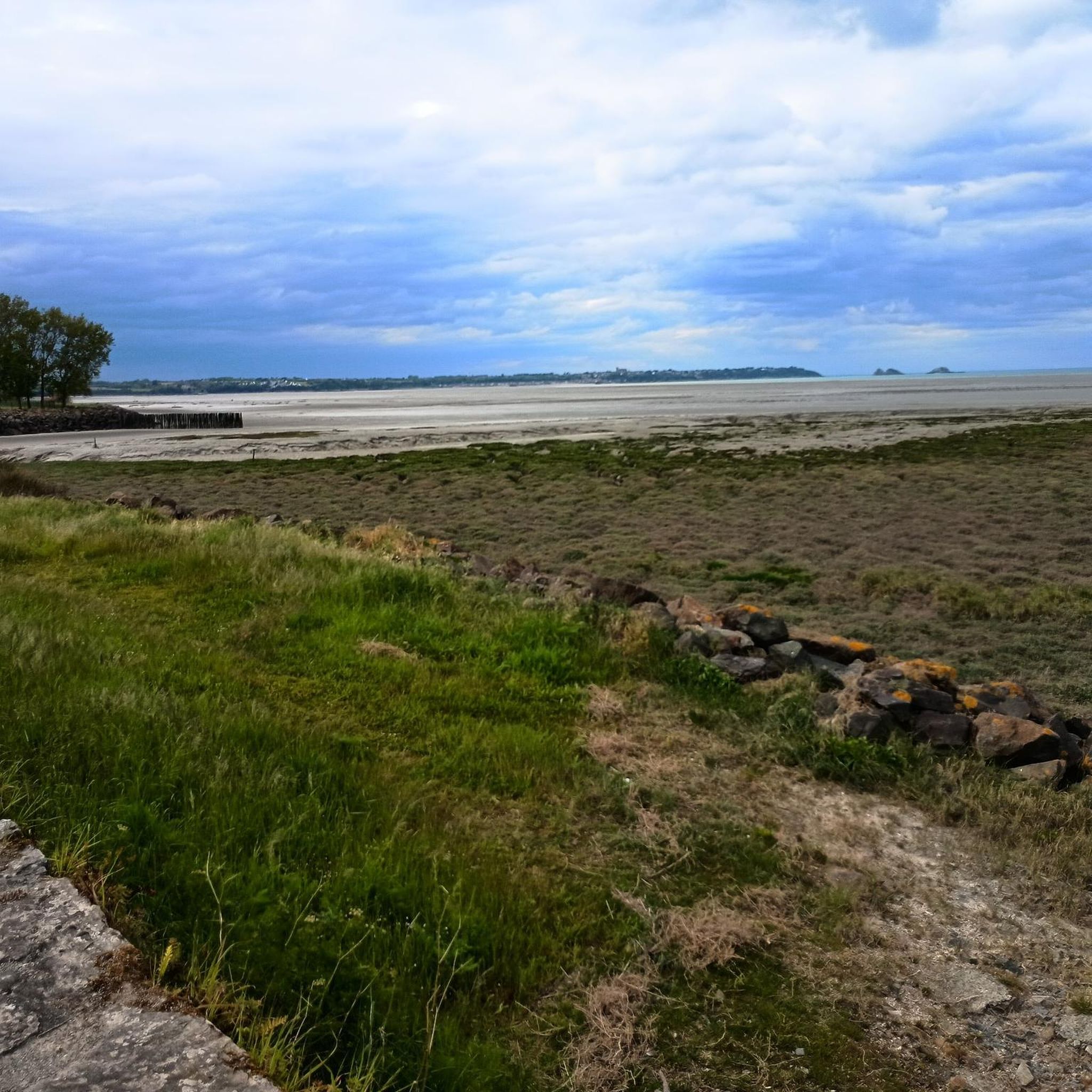
Hiking around Saint-Benoît-des-Ondes offers diverse landscapes along Brittany's Emerald Coast, situated near the Bay of Mont Saint-Michel. The terrain features a mix of coastal paths, sandy coves, and marshland, providing varied environments for exploration. Prominent natural features include the rocky spur of Pointe du Grouin and the flat expanse of the Marais Blanc. The region's coastal areas are shaped by the rhythm of the tides, influencing the available routes.
Best hiking trails around Saint-Benoît-des-Ondes
- The most popular hiking route is Porcon Beach – Viewpoint over Cancale loop from Saint-Benoît-des-Ondes, an 8.4 miles (13.5 km) trail that takes 3 hours 34 minutes to complete. This route offers views towards Cancale and the surrounding coastline.
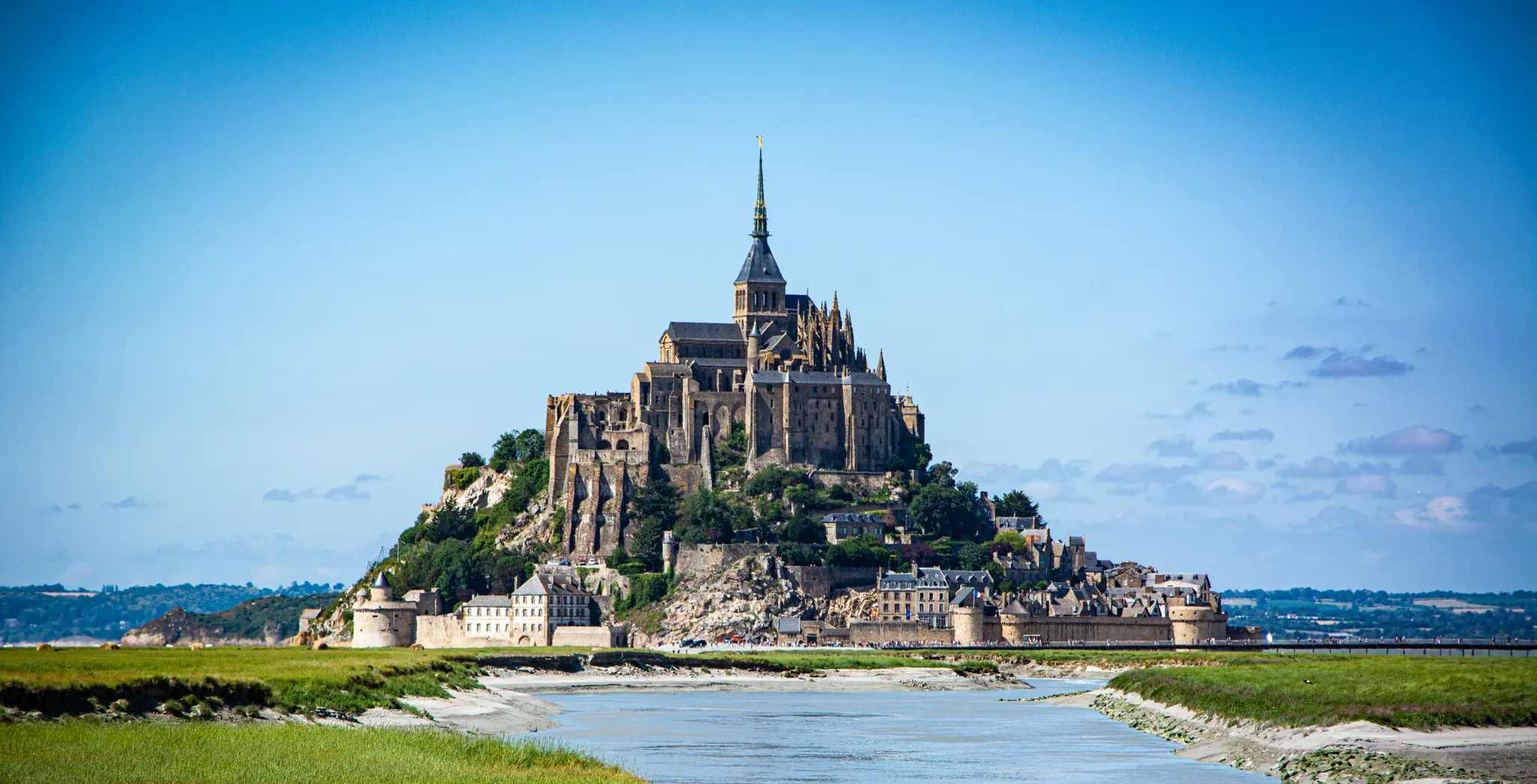
- Another top favourite among local hikers is Saint-Benoît-des-Ondes Beach – The Bay of Mont-Saint-Michel loop from Saint-Benoît-des-Ondes, a moderate 5.7 miles (9.2 km) path. It provides views of the Bay of Mont Saint-Michel and explores the local coastal environment.
- Local hikers also love the Porcon Beach – Château Richeux loop from Saint-Benoît-des-Ondes, a 6.3 miles (10.1 km) trail leading through coastal areas and past Porcon Beach, often completed in about 2 hours 35 minutes.
- Hiking around Saint-Benoît-des-Ondes is defined by coastal paths, marshland, and views of the Bay of Mont Saint-Michel. The network offers options for easy, moderate, and difficult routes, catering to various ability levels.
- The routes in Saint-Benoît-des-Ondes are highly rated by the komoot community with an average score of 4.6 stars from over 2,400 reviews. More than 15,000 hikers have used komoot to explore Saint-Benoît-des-Ondes's varied terrain.
Last updated: September 1, 2026
4.5
(2)
21
hikers
Moderate hike. Good fitness required. Easily-accessible paths. Suitable for all skill levels.
5.0
(1)
10
hikers
12.2km
03:10
70m
70m
Moderate hike. Good fitness required. Easily-accessible paths. Suitable for all skill levels.

Sign up for free
3.0
(2)
7
hikers
11.1km
02:47
10m
10m
Moderate hike. Good fitness required. Easily-accessible paths. Suitable for all skill levels.
5.0
(1)
23
hikers
Easy hike. Great for any fitness level. Easily-accessible paths. Suitable for all skill levels.
5.0
(1)
8
hikers
Moderate hike. Good fitness required. Easily-accessible paths. Suitable for all skill levels.
Get access to more routes and recommendations from other explorers.
Sign up for free
Already have an account?
Our route recommendations are based on thousands of hikes, rides, and runs completed by other people on komoot.
Start today with a free account
Your next adventure awaits.
Login or Signup
Popular around Saint-Benoît-Des-Ondes

Other adventures around Saint-Benoît-Des-Ondes

Tips from the Community

Right on the path. It's beautifully situated.
1
0
looks like it's a private residential building today.
1
0

not accessible further along the coastal path. we turned back towards the D76 (not very pleasant for driving given the traffic)
0
0

Gorgeous
0
0

Memorial to the fallen of the two world wars.
0
0

Stunning Ride around the Coast to Cancale plenty of places to stop for coffee on the way from Pontorson
1
0

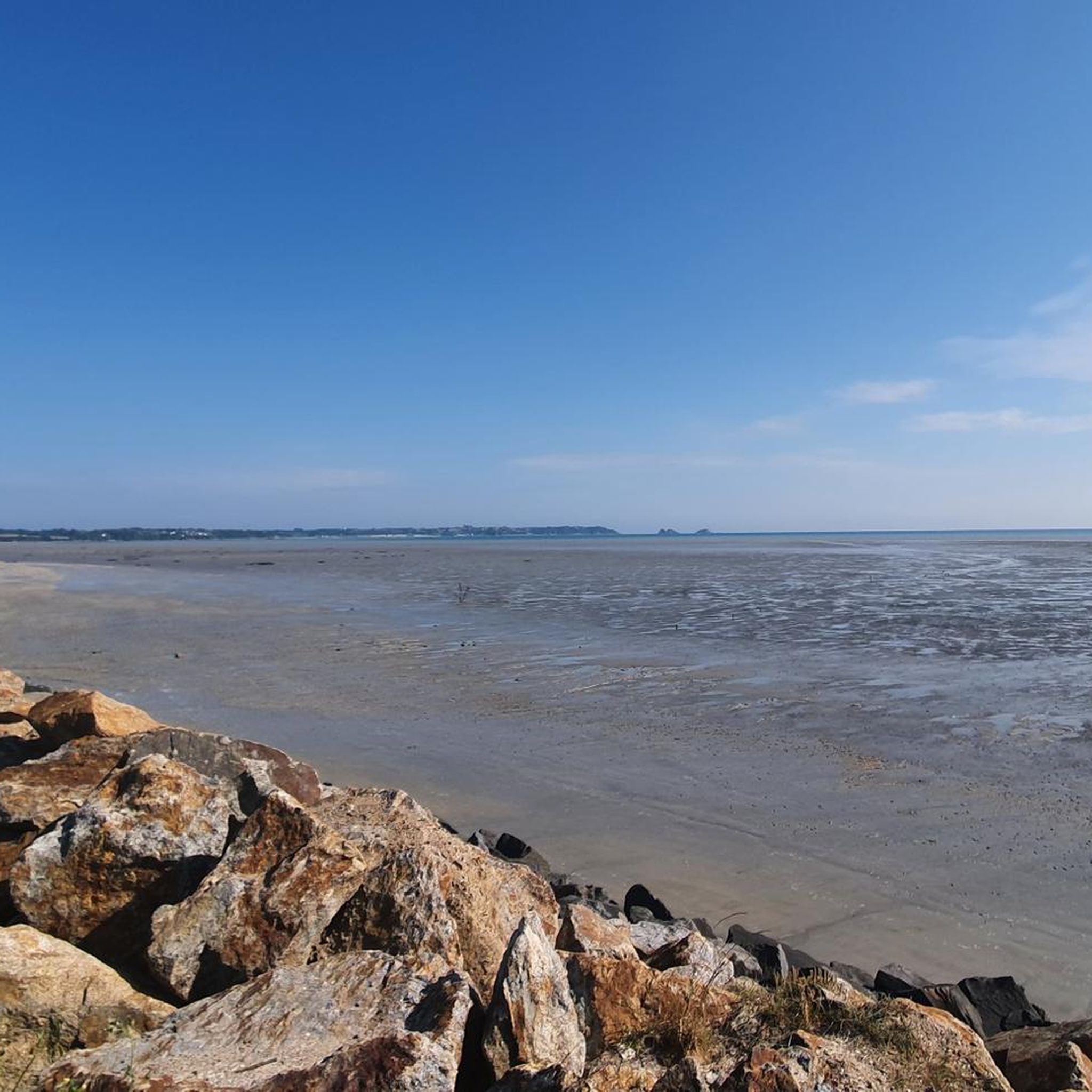
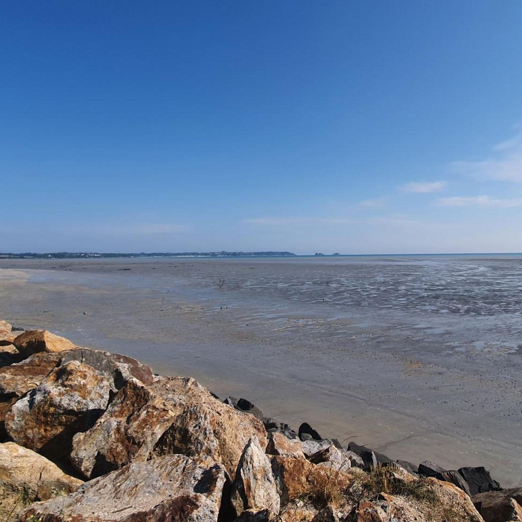
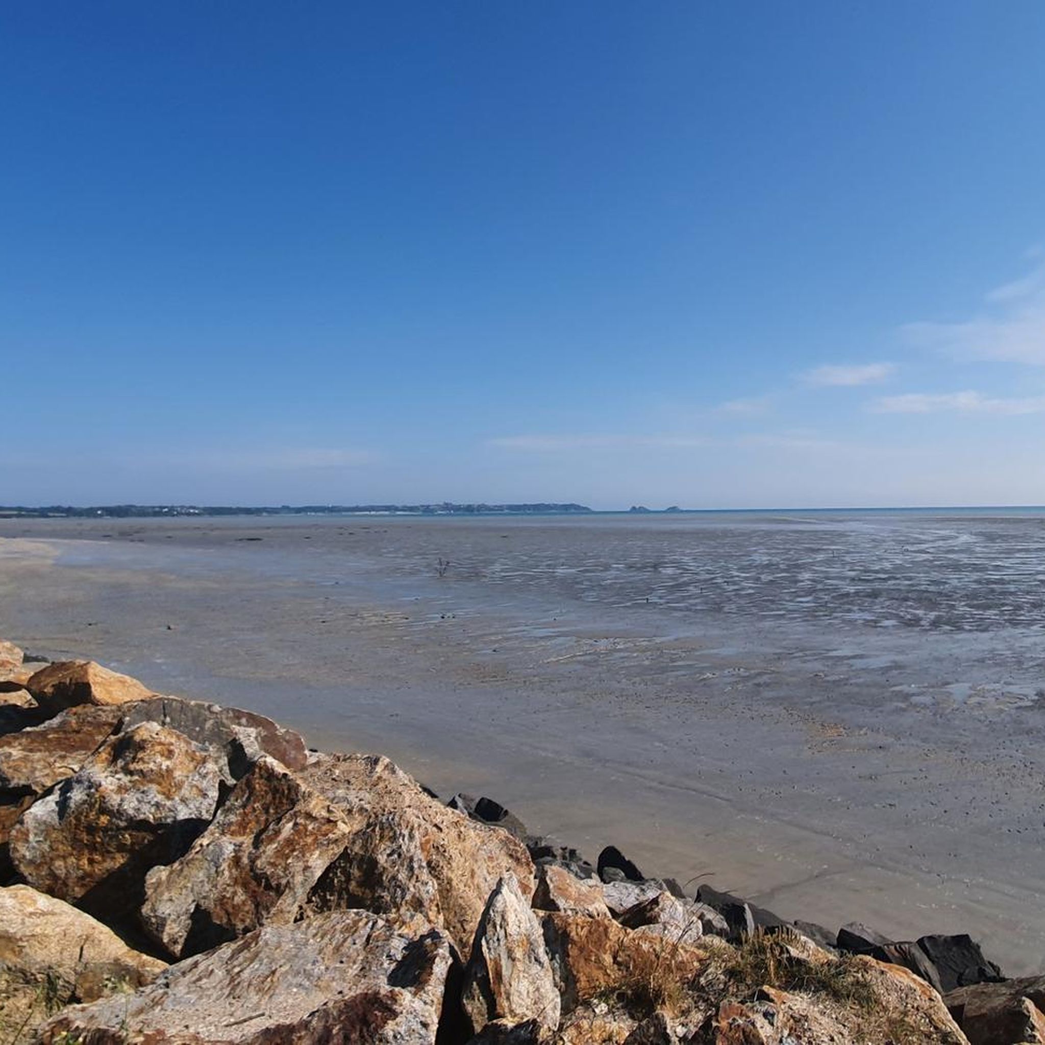
Huge sandy beach bordered by cliffs at the entrance to the granite coast. You can see the islands of Mouettes and Rimains to the north, and as far as the bay of Mont Saint-Michel to the east.
0
0

Located on the mountain bike path and the GR34, this beach is very quiet. Best at high tide for swimming because at low tide the sea retreats very far!
0
0
Frequently Asked Questions
How many hiking trails are available around Saint-Benoît-des-Ondes?
There are over 200 hiking routes around Saint-Benoît-des-Ondes, offering a wide variety of options for exploration. These include coastal paths, marshland trails, and routes with views of the Bay of Mont Saint-Michel.
What kind of terrain can I expect on hikes in Saint-Benoît-des-Ondes?
The terrain around Saint-Benoît-des-Ondes is quite diverse. You'll find a mix of coastal paths along the Emerald Coast, sandy coves like Plage du Saussaye, and the unique environment of the Marais Blanc marshland. Many routes feature rocky coastlines and are influenced by the significant tidal rhythms of the area.
Are there hiking options for all skill levels in Saint-Benoît-des-Ondes?
Yes, the region offers routes catering to various ability levels. You can find easy, moderate, and difficult trails. For example, the View of Mont Saint-Michel – Shell Beach loop is an easy option, while routes like the Porcon Beach – Viewpoint over Cancale loop are considered moderate.
What natural landmarks or viewpoints can I discover while hiking?
Hikers can enjoy several prominent natural landmarks and viewpoints. The Pointe du Grouin offers magnificent panoramic views of the Bay of Mont Saint-Michel and the Channel coasts. Other notable viewpoints include Barbe Brûlée Point and La Pointe du Puits. The transformed old windmill, Belvédère des Ondes, also provides impressive views over the bay.
Are there any historical sites or attractions accessible by foot?
Yes, you can explore several interesting sites. The GR®34 (Customs Officers' Path), a renowned long-distance coastal path, passes through the area. You can also reach the 18th-century Fort de Saint-Père, originally built to protect Saint-Malo, which has an accessible exterior path. The nearby town of Cancale, known as the 'oyster capital,' is also a popular destination.
Are the hiking trails around Saint-Benoît-des-Ondes suitable for families with children?
Many trails are suitable for families, especially the easier coastal walks and those exploring the marshlands. These often feature relatively flat terrain and offer opportunities for children to explore tide pools at low tide, particularly at places like Saussaye Beach.
Can I find circular hiking routes in this region?
Yes, Saint-Benoît-des-Ondes offers numerous circular hiking loops. Examples include the Saint-Benoît-des-Ondes Beach – The Bay of Mont-Saint-Michel loop and the Porcon Beach – Château Richeux loop, which are popular choices among local hikers.
What do other hikers say about the trails in Saint-Benoît-des-Ondes?
The routes in Saint-Benoît-des-Ondes are highly rated by the komoot community, with an average score of 4.6 stars from over 2,400 reviews. Hikers often praise the varied coastal scenery, the views of Mont Saint-Michel Bay, and the diverse terrain that includes both beaches and marshlands.
Is there parking available near the trailheads?
Yes, parking is generally available near popular trailheads and points of interest throughout the Saint-Benoît-des-Ondes area, especially in and around the village and at key coastal access points like Pointe du Grouin.
What is the best time of year to go hiking in Saint-Benoît-des-Ondes?
The region is enjoyable for hiking throughout much of the year. Spring and autumn offer pleasant temperatures and fewer crowds, while summer provides warmer weather ideal for coastal walks and enjoying the beaches. The significant tidal changes mean that the landscape is constantly evolving, offering unique experiences in any season.
Are dogs allowed on the hiking trails?
Many trails in the Saint-Benoît-des-Ondes area are dog-friendly, particularly coastal paths and rural routes. However, it's always advisable to keep dogs on a leash, especially in nature reserves, agricultural areas, and during nesting seasons, and to check local signage for any specific restrictions.
Can I see Mont Saint-Michel from any of the hiking routes?
Yes, several routes offer views of Mont Saint-Michel, particularly those along the coast facing the bay. The Saint-Benoît-des-Ondes Beach – The Bay of Mont-Saint-Michel loop is specifically designed to provide views of the iconic landmark. The Pointe du Grouin also offers sweeping vistas that include Mont Saint-Michel on clear days.
Most popular routes around Saint-Benoît-Des-Ondes
Most popular attractions around Saint-Benoît-Des-Ondes

Get inspired with the komoot mobile app


Explore more
Browse the best Hikes in other regions.
