The best road cycling routes around Roz-Landrieux
4.2
(102)
3,340
riders
360
rides
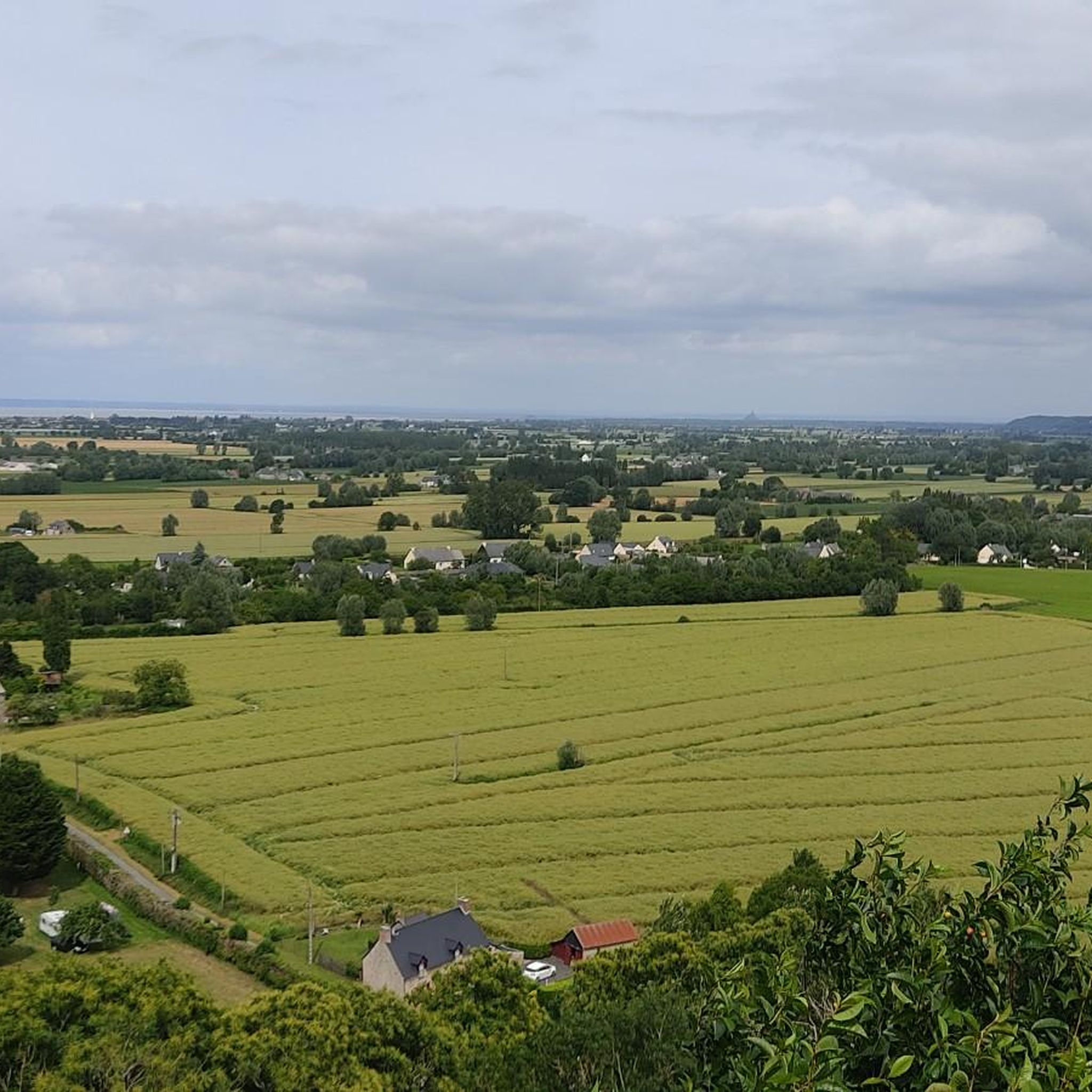
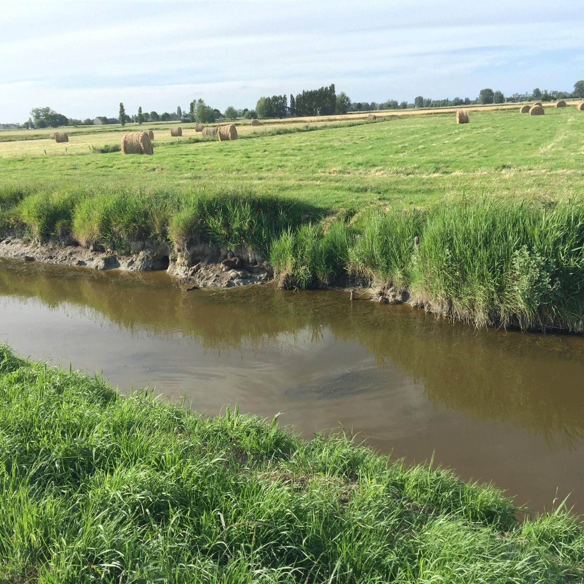
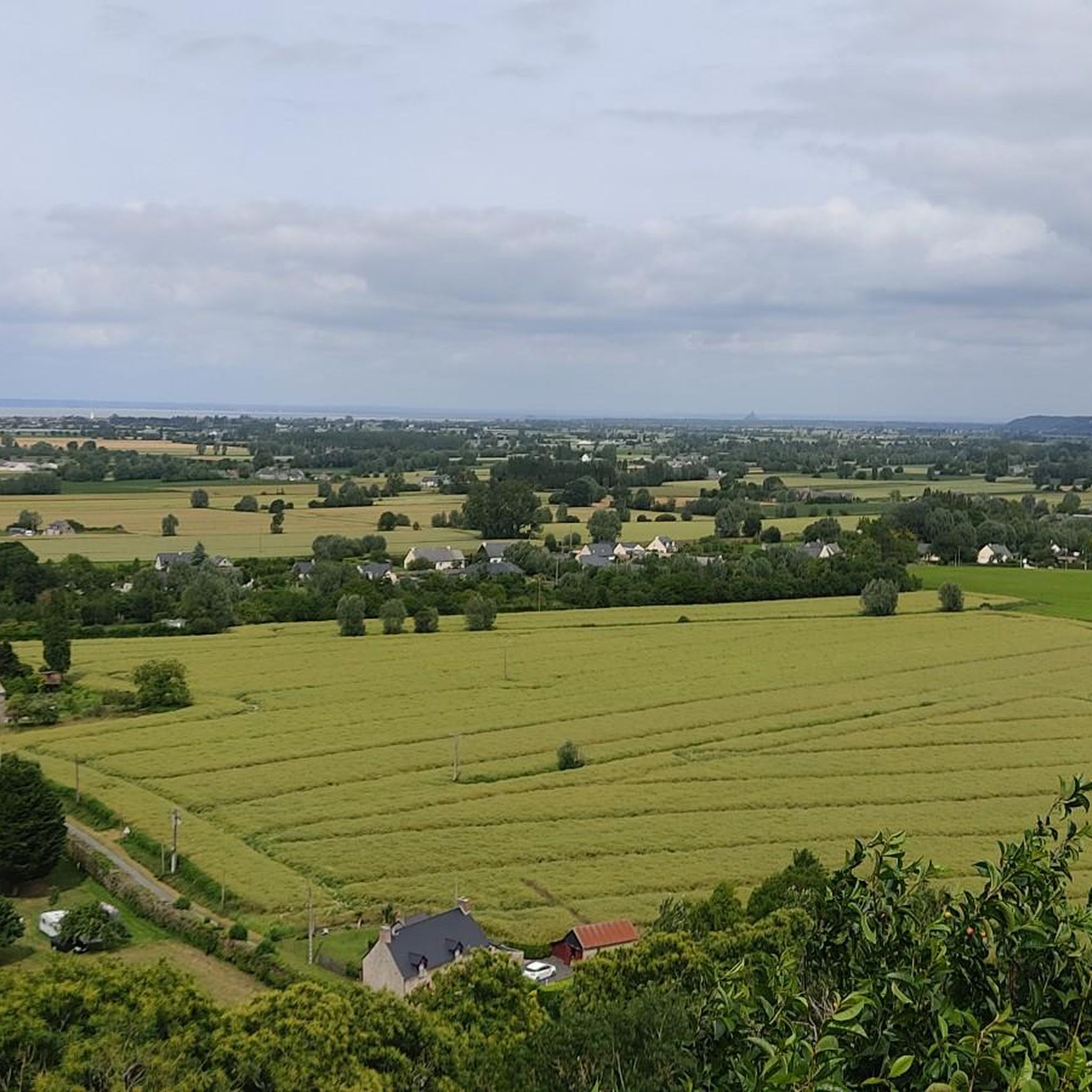
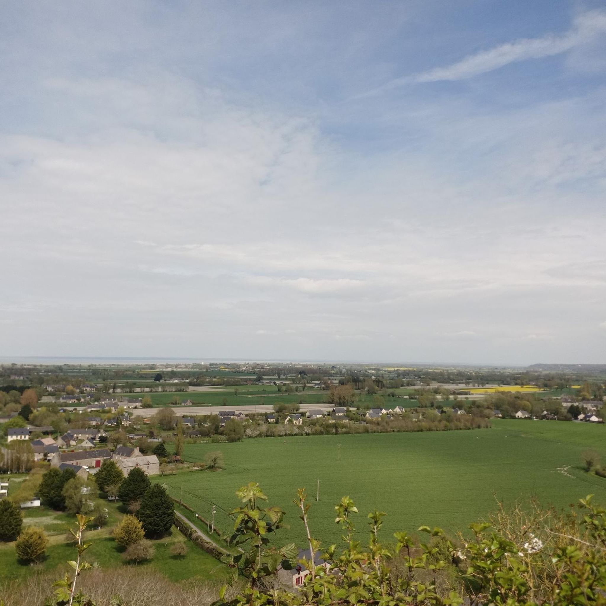
Road cycling routes around Roz-Landrieux are situated in a region characterized by its coastal plains, estuaries, and gently rolling agricultural land. The terrain is generally flat to moderately undulating, with occasional low hills providing varied elevation. Road cyclists can expect routes that traverse open countryside, follow riverbanks, and skirt along the Bay of Mont-Saint-Michel. The area features a network of quiet country roads connecting small villages and historic towns.
Best road cycling routes around Roz-Landrieux
- The most popular road cycling…
Last updated: July 1, 2026
20
riders
52.0km
02:11
360m
360m
Moderate road ride. Good fitness required. Mostly well-paved surfaces and easy to ride.
19
riders
126km
05:13
580m
570m
Hard road ride. Very good fitness required. Some segments of this route may be unpaved and difficult to ride.

Sign up for free
10
riders
98.7km
04:13
730m
730m
Moderate road ride. Good fitness required. Some segments of this route may be unpaved and difficult to ride.
5.0
(4)
10
riders
94.4km
03:59
660m
660m
Moderate road ride. Good fitness required. Some segments of this route may be unpaved and difficult to ride.
7
riders
63.6km
02:44
450m
450m
Moderate road ride. Good fitness required. Mostly well-paved surfaces and easy to ride.
Get access to more routes and recommendations from other explorers.
Sign up for free
Already have an account?
Our route recommendations are based on thousands of hikes, rides, and runs completed by other people on komoot.
Start today with a free account
Your next adventure awaits.
Login or Signup

Tips from the Community

Numerous Breton legends surround the stone. One of the most famous tells that the menhir sinks a little deeper into the ground each year, and that its complete disappearance will signal the end of the world. Another legend sees it as a divine sign that separated two feuding brothers and gave the field the name "Champ-Dolent," or "Field of Sorrow."
1
0
South of Dol-de-Bretagne rises the Menhir du Champ-Dolent, a mighty granite block from the Neolithic period. At almost ten meters high, it is one of the largest surviving menhirs in France. Its weight is estimated at around 100 tons, and it was probably extracted from the immediate surroundings. Its original function remains unclear to this day—researchers suspect ritual or symbolic purposes, perhaps even an astronomical alignment.
1
0
The Grand'Porte de Saint-Malo is the oldest surviving gate in the city, built in 1582. It consists of two massive round towers connected by a wall and served as the main entrance to the fortified old town (Intra-Muros) until 1708. The gate features niches containing statues of the Madonna and Child ("Notre-Dame des Miracles") and "Saint Christopher," the latter of which is associated with the legend of stopping the great fire of 1661. The Grand'Porte played an important role in defense, trade, and customs control.
1
0
Dol-de-Bretagne is a historic town founded as a bishopric in the 5th or 6th century under the influence of Saint Samson of Dol. The town is known for its well-preserved medieval architecture, including the Saint-Samson Cathedral, the Musée de la Trésorerie, and the Maison des Petits Palets. The surrounding area also features the Menhir du Champ-Dolent, a megalith dating back to the Neolithic period that is over 4,000 years old. Markets, local festivals, and small shops enliven town life, and despite its touristic significance, the town remains relatively quiet and manageable, an ideal place to experience history, culture, and Breton flair.
1
0

At 3 km long, this is the largest sandy beach in Saint-Malo. Walking along this beach, you can reach Intra-Muros in Paramé. Sillon Beach includes Grande Plage, Hoguette Beach, and Rochebonne Beach. La Digue was built from 1883 to 1913 on an old sandbar (the Sillon) that once connected Paramé to the walled city and provided the only dry-land access at low tide. Originally, a strip of sand was covered with dunes that grew higher and higher as one moved toward Rochebonne, with only a succession of windmills remaining. The first causeway was built in 1509, rebuilt and widened several times... Le Digue, 1,671 meters long, runs along Grande Plage and offers a pleasant stroll, lined with numerous villas built towards the end of the 19th century. Along the Sillon, a line of breakwaters protects the seawall from the force of the waves. Built in the early 19th century based on an idea by the civil engineer Robinault de St-Servan, the oak breakwaters have a depth at least equal to, or even greater than, their visible height.
2
0


one of the tide mills on the Rance, worth the detour
0
0

Going back up towards St-Malo, a pretty path to the left (Rance valley) allows you to partly avoid the D117.
0
0
Frequently Asked Questions
How many road cycling routes are available around Roz-Landrieux?
There are over 350 road cycling routes around Roz-Landrieux listed on komoot, offering a wide variety of options for different skill levels and preferences.
What is the terrain like for road cycling in Roz-Landrieux?
The region features generally flat to moderately undulating terrain, with occasional low hills. You can expect routes that traverse open countryside, follow riverbanks, and skirt along the Bay of Mont-Saint-Michel, providing a mix of coastal and agricultural landscapes.
Are there easy road bike routes suitable for beginners in Roz-Landrieux?
Yes, Roz-Landrieux offers a good selection of routes suitable for beginners. There are over 70 easy road cycling routes available, perfect for those looking for a relaxed ride through the scenic coastal plains and quiet country roads.
Can I find challenging or advanced road cycling routes in the area?
While much of the terrain is gentle, there are routes that offer more challenge. You can find around 20 difficult road cycling routes around Roz-Landrieux, often featuring more significant elevation changes or longer distances for experienced riders.
What kind of scenic viewpoints can I expect on road cycling routes?
Many routes offer scenic views, particularly along the coast and estuaries. You might encounter viewpoints overlooking the Bay of Mont-Saint-Michel, or picturesque spots like the View of the Moulin de Quinard. The region's coastal plains and historic towns also provide charming vistas.
Are there any historic landmarks or attractions to see along the routes?
Absolutely. Road cycling routes often pass through or near historic sites. You could cycle past the Moulin de la Saline, the Beauchet Tidal Mill, or the charming village of Saint-Suliac. The Pont Saint-Hubert is another notable landmark.
What is the best time of year for road cycling around Roz-Landrieux?
The best time for road cycling is generally from spring to early autumn (April to October) when the weather is milder and more stable. The coastal location means conditions can change, so checking the forecast is always recommended.
Are there loop trails available for road cyclists?
Yes, many road cycling routes in Roz-Landrieux are designed as loops, allowing you to start and finish at the same point. An example is the The Bay of Mont-Saint-Michel – Dol-de-Bretagne loop from Plerguer, which offers a moderate ride through coastal plains and historic towns.
What do other road cyclists enjoy most about the routes in Roz-Landrieux?
The area is highly rated by the komoot community, with an average score of 4.2 stars. Reviewers often praise the diverse coastal and countryside landscapes, the network of quiet roads connecting charming villages, and the options available for various ability levels.
Can I find routes that connect to historic towns or cities?
Yes, many routes are designed to connect small villages and historic towns. For instance, the Dol-de-Bretagne – Combourg Castle loop from Plerguer takes you through historic areas, including the impressive Combourg Castle.
Are there any routes that feature bridges or unique architectural elements?
Yes, some routes incorporate notable architectural features. The Dinan Viaduct – Pont Saint-Hubert loop from Plerguer, for example, allows you to experience cycling near the impressive Dinan Viaduct and the historic Pont Saint-Hubert.
Most popular routes around Roz-Landrieux
Most popular attractions around Roz-Landrieux

Get inspired with the komoot mobile app


Explore more
Browse the best Road cycling routes in other regions.
