The best walks and hikes around Grube Im Weilertal
4.6
(1335)
6,632
hikers
28
hikes
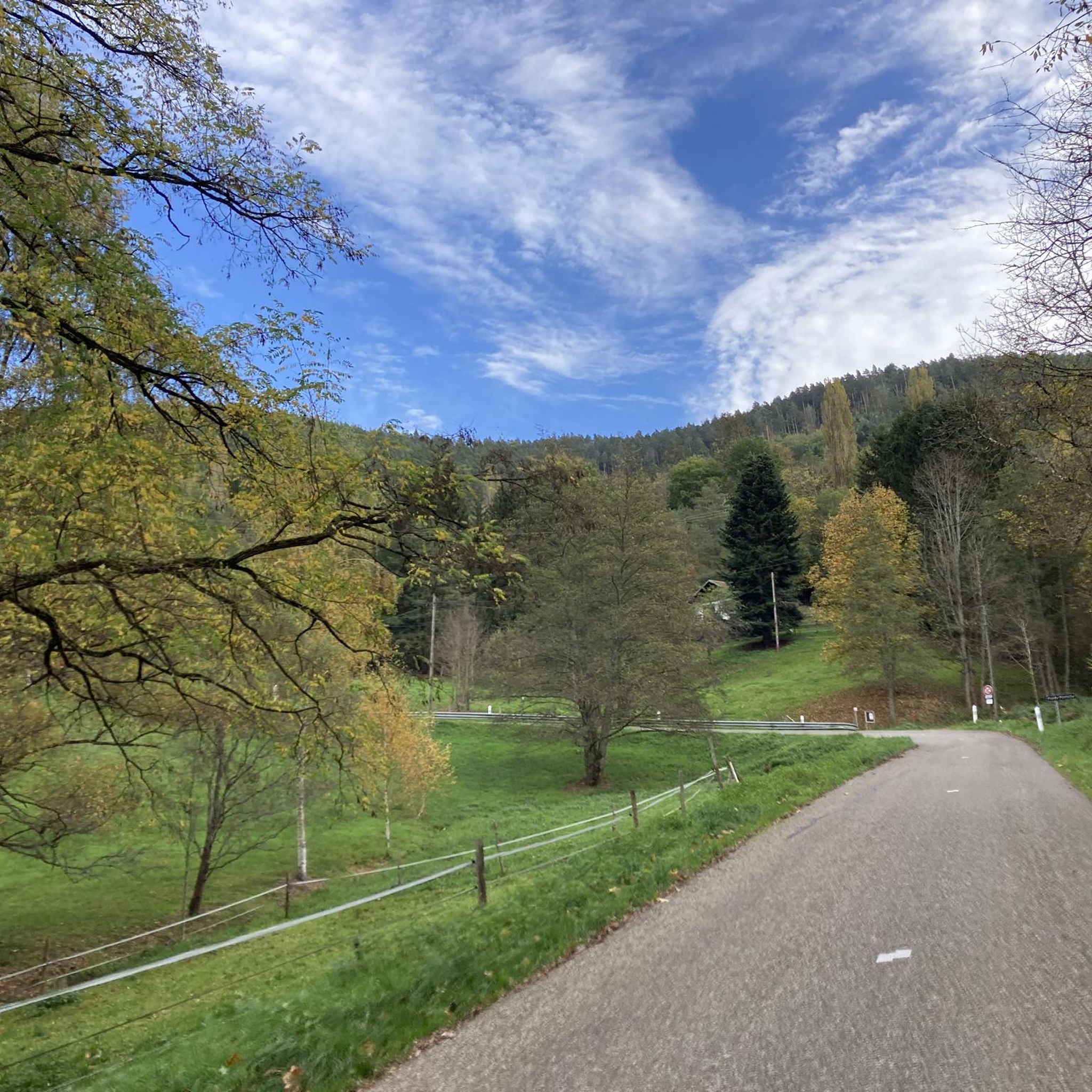
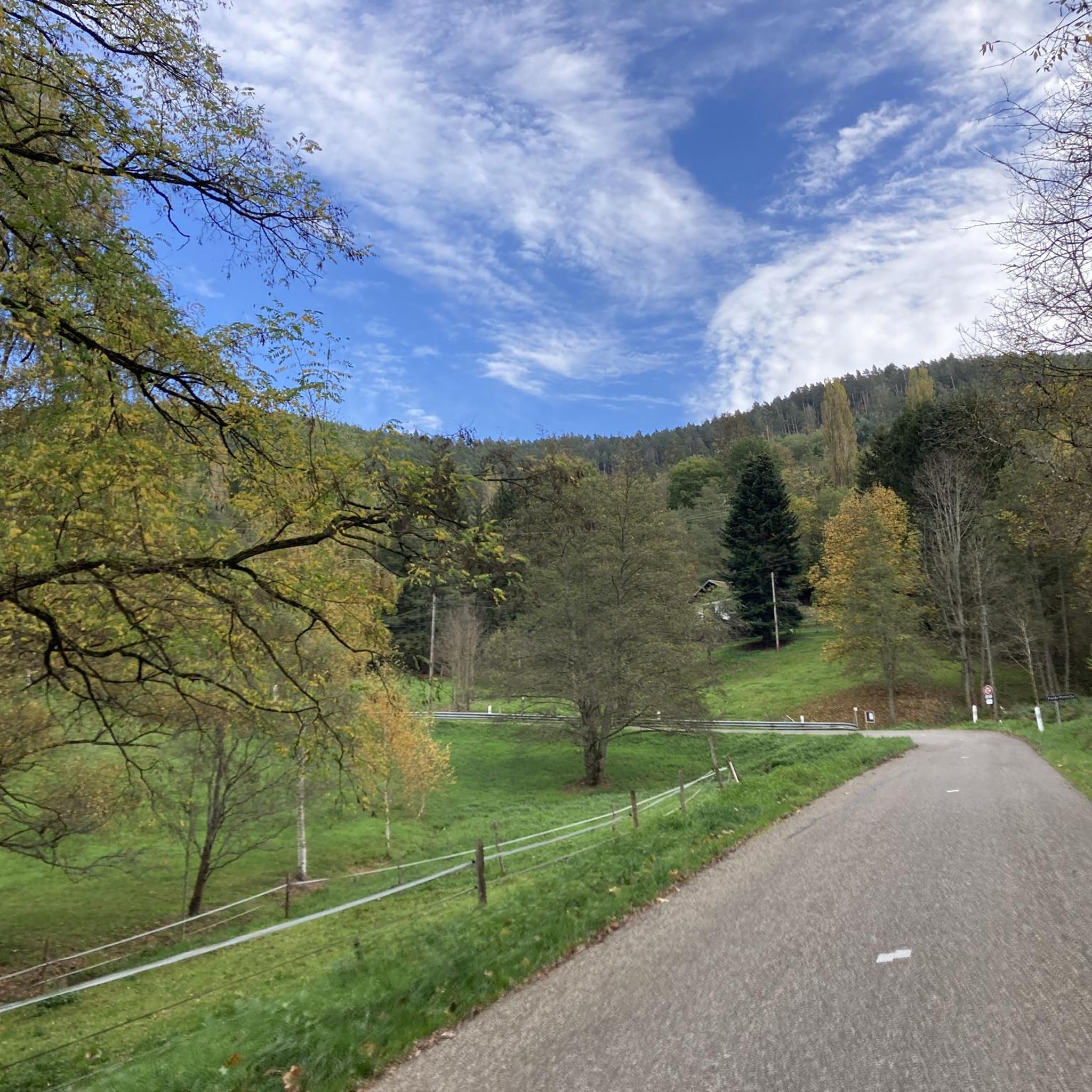
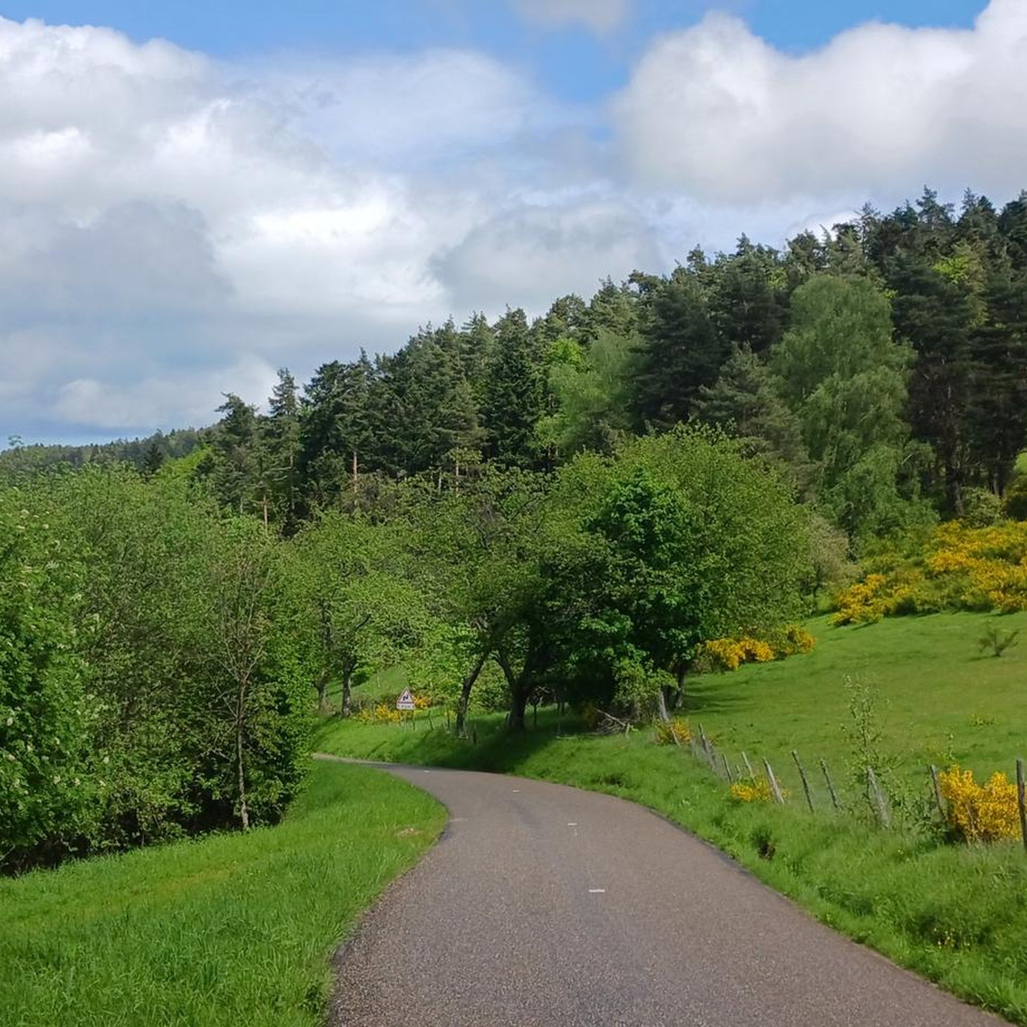
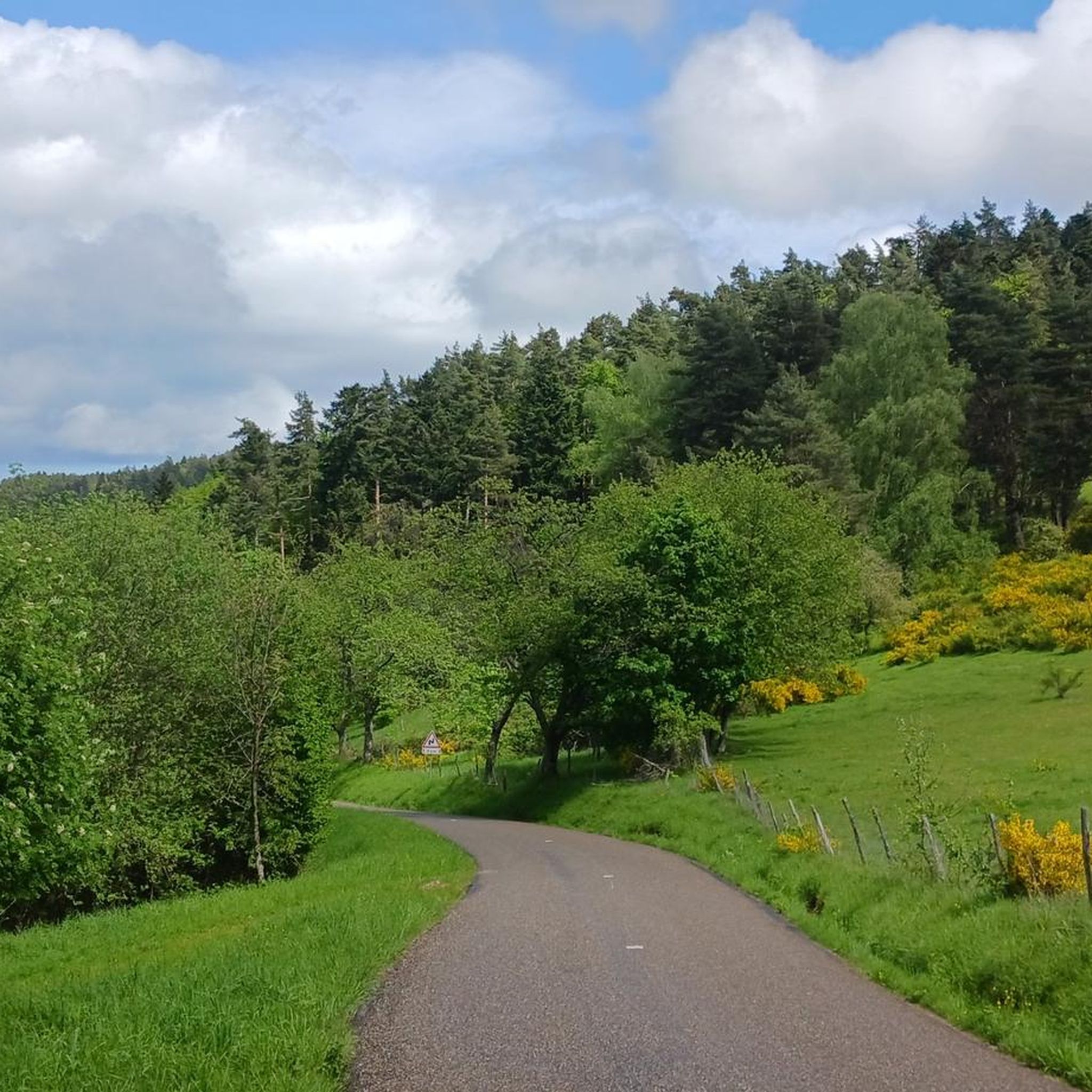
Hiking around Grube Im Weilertal offers diverse landscapes characterized by scenic mountainous terrain and dense forests. The region features numerous mountain passes and historical attractions like castles, providing varied viewpoints and landmarks. Trails range from leisurely walks through wooded areas to more challenging ascents. The topography includes varied elevations, making it suitable for different hiking experiences.
Best hiking trails around Grube Im Weilertal
- The most popular hiking route is Petit Haut Pass – Rocher de la Salière loop from Lalaye…
Last updated: June 25, 2026
4.3
(11)
38
hikers
13.6km
04:13
490m
490m
Moderate hike. Good fitness required. Easily-accessible paths. Suitable for all skill levels.
4.3
(6)
20
hikers
7.93km
02:24
270m
270m
Moderate hike. Good fitness required. Easily-accessible paths. Suitable for all skill levels.

Sign up for free
4.7
(3)
15
hikers
6.63km
02:04
210m
210m
Moderate hike. Good fitness required. Mostly accessible paths. Sure-footedness required.
4.5
(2)
10
hikers
11.4km
03:25
350m
350m
Moderate hike. Good fitness required. Easily-accessible paths. Suitable for all skill levels.
4.5
(2)
10
hikers
8.59km
02:30
220m
220m
Moderate hike. Good fitness required. Easily-accessible paths. Suitable for all skill levels.
Get access to more routes and recommendations from other explorers.
Sign up for free
Already have an account?
Our route recommendations are based on thousands of hikes, rides, and runs completed by other people on komoot.
Start today with a free account
Your next adventure awaits.
Login or Signup

Tips from the Community

An amazing view of the valley, be sure to climb the rock, it is secured.
0
0


From its height of 702 meters, Chalmont offers a beautiful view of Lièpvre, at the beginning of the Val d'Argent. To enjoy the panorama, a pretty little path provides access to a rocky promontory.
0
0

There is a very refreshing drinking water source here along with a shady rest area. An ideal place to rest - especially in summer.
0
0

The Hotel Restaurant is not directly on the GR532, but is a very good alternative. Very friendly welcome and good food. TEL: +33 3 88 57 11 33
3
0
There was no sign saying eau non potable.
2
1
Quaintly beautiful section of the path with the rock from the fallen horse.
3
0
The viewing platform at the top is already impressive, but the rocks with the stairs further down are even more so.
4
0
Frequently Asked Questions
How many hiking trails are available around Grube Im Weilertal?
Grube Im Weilertal offers a diverse network of over 20 hiking trails. These range from easy strolls to more challenging ascents, catering to various fitness levels.
What kind of landscapes can I expect to see while hiking in Grube Im Weilertal?
The region is characterized by scenic mountainous terrain, dense forests, and numerous mountain passes. You'll encounter varied elevations, offering rewarding panoramic views and serene wooded paths. Historical attractions like castles also dot the landscape, adding to the scenic diversity.
Are there any easy hiking trails suitable for beginners or leisurely walks?
Yes, Grube Im Weilertal has several easy trails. For a moderate but accessible option with scenic viewpoints, consider the Fouchy Pass – Roche Belle Vue loop from Col de Fouchy, which is about 4.1 miles (6.6 km) long and takes around 2 hours.
What are some notable landmarks or attractions to look out for on the trails?
Hikers can explore historical castles such as Bernstein Castle and Ortenbourg Castle, both offering panoramic views. The region also features several mountain passes like Col de Steige and the Haut de Ribeauvillé Pass, which provide excellent vistas.
Are there any circular hiking routes in the area?
Yes, many trails in Grube Im Weilertal are designed as loops. For example, the Petit Haut Pass – Rocher de la Salière loop from Lalaye is a popular moderate circular route featuring a mountain pass and a notable rock formation.
What do other hikers say about the trails in Grube Im Weilertal?
The trails in Grube Im Weilertal are highly rated by the komoot community, with an average score of 4.6 stars from over 1400 reviews. Hikers often praise the diverse landscapes, well-maintained paths, and the rewarding views from the mountain passes and historical sites.
Are there any trails that offer particularly good viewpoints?
Absolutely. The mountainous terrain ensures many opportunities for scenic vistas. The Fouchy Pass – Roche Belle Vue loop from Col de Fouchy is specifically noted for offering scenic viewpoints, and the ruins of Bernstein Castle provide excellent panoramic views of the surrounding area.
Can I find places to eat or stay near the hiking trails?
While specific cafes or pubs directly on every trail aren't listed, the region has several shelters and huts, such as the Kochersberg Shelter and La Vieille Métairie Shelter, which can serve as resting points. For more substantial options, nearby villages like Fouchy would offer amenities.
How long do the hikes typically take in Grube Im Weilertal?
Hiking durations vary significantly depending on the trail's length and difficulty. For instance, a moderate trail like the Rougerain Pass loop from Fouchy is about 4.9 miles (7.9 km) and takes approximately 2 hours 24 minutes, while longer routes can take over 4 hours.
Is there public transport access to the hiking areas?
While specific public transport details for every trailhead are not provided, the region is generally accessible. Planning your route in advance and checking local transport schedules for villages like Fouchy or Lalaye is recommended to reach starting points.
What is the best time of year to go hiking in Grube Im Weilertal?
The region's diverse landscapes, including dense forests and mountain passes, are enjoyable throughout much of the year. Spring and autumn offer pleasant temperatures and vibrant foliage, while summer provides longer daylight hours. Winter hiking is possible, but conditions on higher mountain passes may require appropriate gear and caution.
Are there any family-friendly hiking options?
Yes, with a range of trails from easy to moderate, families can find suitable options. Look for shorter, less strenuous loop trails that navigate through forested areas, which often provide shaded and enjoyable walks for all ages.
Most popular routes around Grube Im Weilertal
Most popular attractions around Grube Im Weilertal

Get inspired with the komoot mobile app


Explore more
Browse the best Hikes in other regions.
