The best cycling routes around Roggensbach
4.3
(209)
2,232
riders
152
rides
Touring cycling around Roggensbach offers diverse routes through the scenic Roggental Valley, characterized by well-maintained cycling paths and varying elevation gains. The region provides an accessible ascent to the Swabian Alb, featuring low-traffic roads and pleasant inclines. Cyclists can find routes with mostly well-paved surfaces, ranging from those requiring good fitness to more challenging options. The landscape includes picturesque views, with potential glimpses of Weißenstein Castle.
Best touring cycling routes around Roggensbach
- The most popular touring cycling route is Col…
Last updated: October 8, 2026
4.4
(8)
46
riders
43.0km
02:45
480m
480m
Hard bike ride. Very good fitness required. Mostly paved surfaces. Suitable for all skill levels.
5.0
(1)
22
riders
35.4km
03:00
750m
750m
Hard bike ride. Very good fitness required. Mostly paved surfaces. Suitable for all skill levels.

5.0
(1)
14
riders
22.6km
02:07
290m
290m
Hard bike ride. Good fitness required. You may need to push your bike for some segments of this route.
12
riders
32.2km
02:31
820m
820m
Hard bike ride. Very good fitness required. Mostly paved surfaces. Suitable for all skill levels.
10
riders
14.7km
01:22
190m
190m
Hard bike ride. Good fitness required. You may need to push your bike for some segments of this route.
Get access to more routes and recommendations from other explorers.
Already have an account?
Our route recommendations are based on thousands of hikes, rides, and runs completed by other people on komoot.
Start today with a free account
Your next adventure awaits.

Tips from the Community


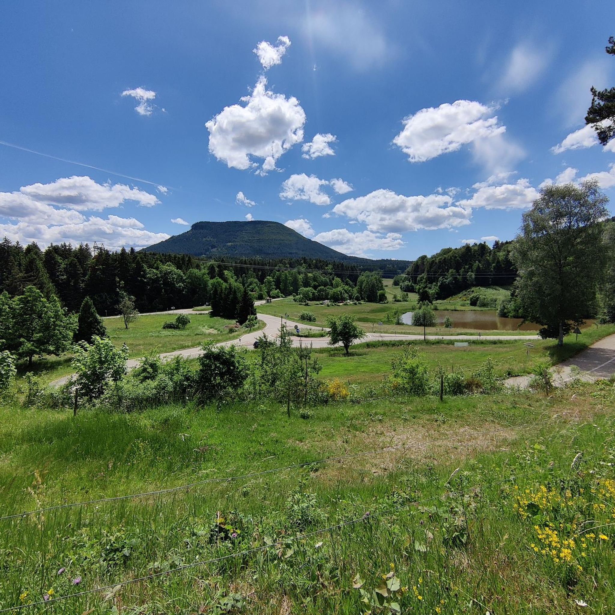
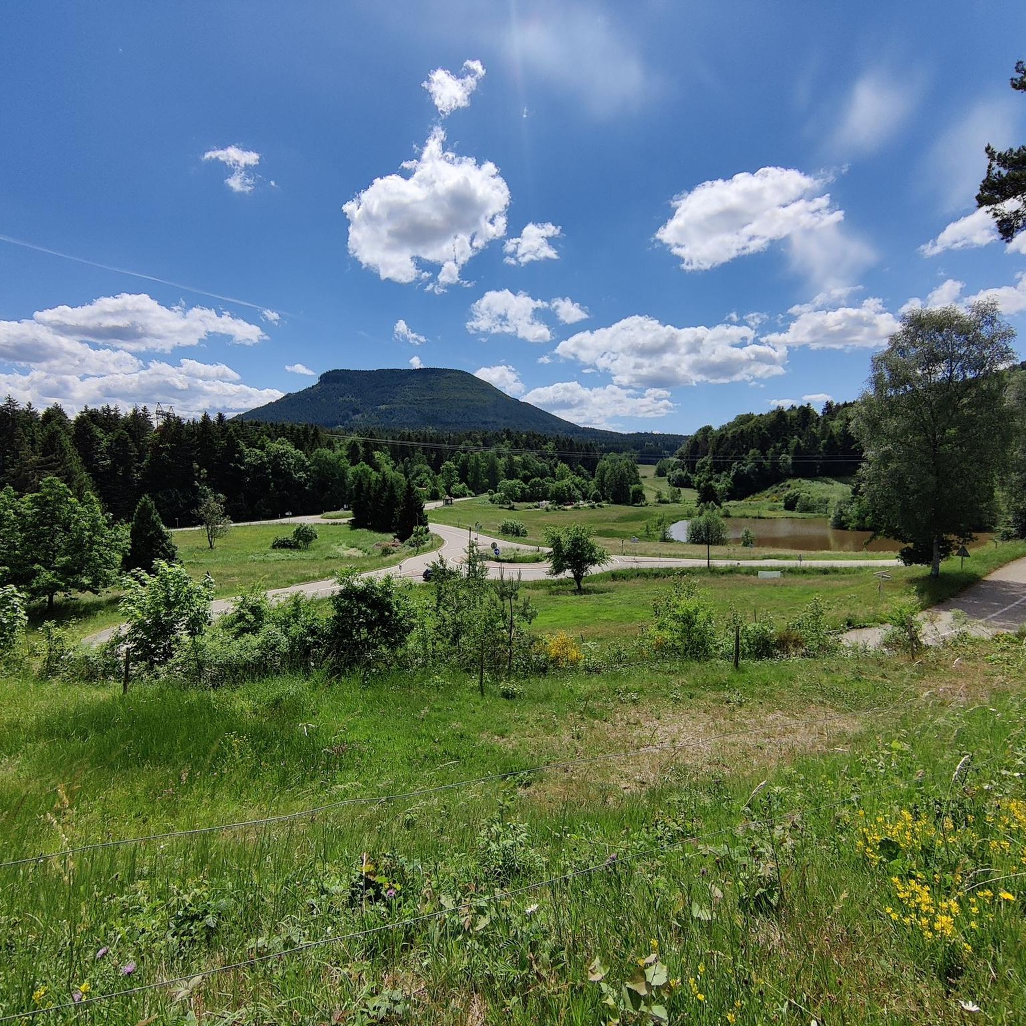
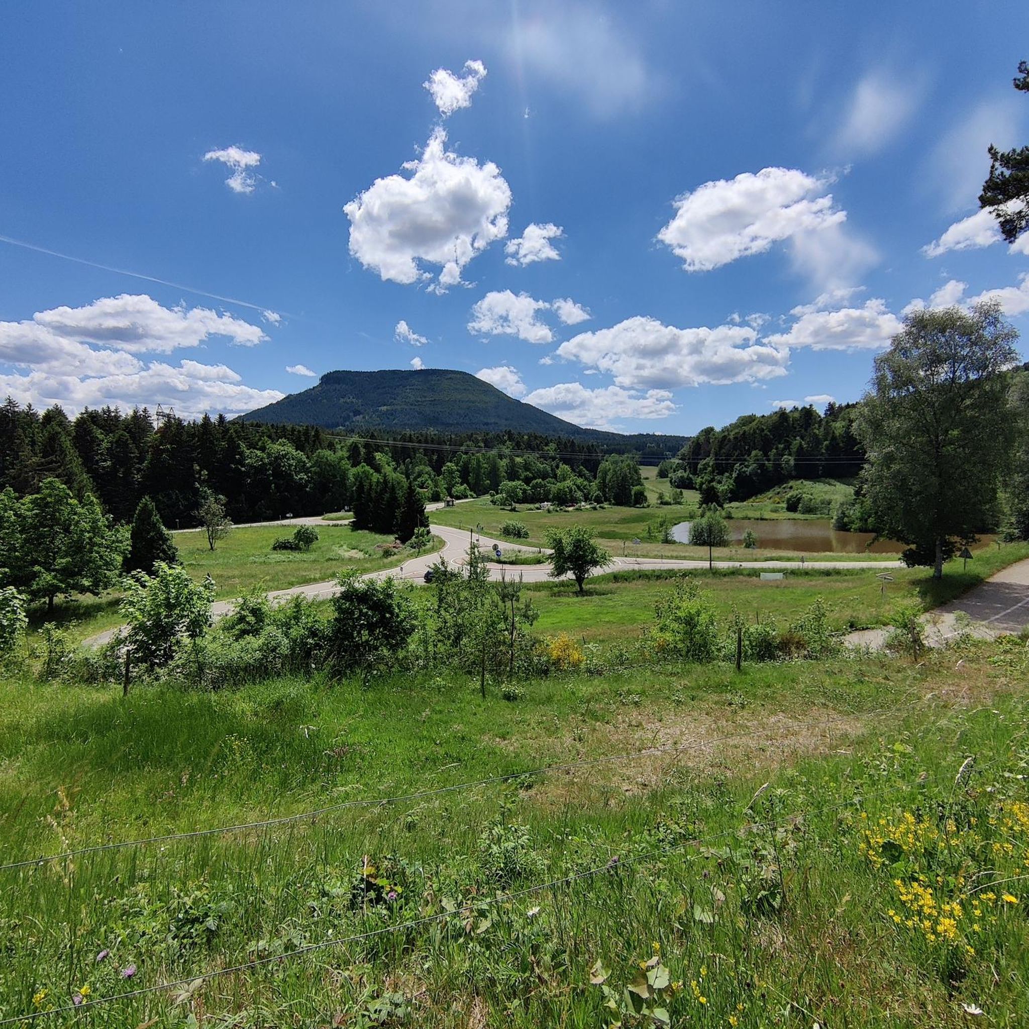
Champ du Feu, at 1099 meters, is the highest mountain in the Bas-Rhin department of the Vosges in Alsace. It is located between the villages of Belmont and Le Hohwald and consists of an extensive high plateau with forests, meadows, and moorlands. The area is a popular nature and recreational area. In summer, it is mainly used for hiking, mountain biking, and nature observation. In winter, there is a small ski resort with cross-country trails and simple slopes for winter sports. The stream La Serva originates from Champ du Feu and later forms the Cascade de la Serva. In clear weather, the summit offers wide views over the Vosges, the Rhine plain, and as far as the Black Forest. The area is particularly known for its tranquil nature, high moors, sunrises and starry skies, as well as well-marked hiking trails.
0
0
Champ du Feu, at 1099 meters, is the highest mountain in the Bas-Rhin department of the Vosges in Alsace. It lies between the towns of Belmont and Le Hohwald and consists of an extensive high plateau with forests, meadows, and moorlands. The area is a popular nature and recreational area. In summer, it is mainly used for hiking, mountain biking, and nature observation. In winter, there is a small ski area with cross-country trails and simple slopes for winter sports. The brook La Serva originates from Champ du Feu, later forming the Cascade de la Serva. In clear weather, the summit offers wide views over the Vosges, the Rhine plain, and as far as the Black Forest. The area is particularly known for its tranquil nature, high moors, sunrises and starry skies, as well as well-marked hiking trails.
0
0
The Champ du Feu, at 1099 meters, is the highest mountain in the Bas-Rhin department in the Vosges in Alsace. It is located between the towns of Belmont and Le Hohwald and consists of a vast plateau with forests, meadows, and moorlands. The area is a popular nature and recreational area. In summer, it is mainly used for hiking, mountain biking, and nature observation. In winter, there is a small ski area with cross-country trails and simple slopes for winter sports. From the Champ du Feu, the La Serva stream originates, which later forms the Cascade de la Serva. In clear weather, the summit offers wide views over the Vosges, the Rhine plain, and even the Black Forest. The area is particularly known for its quiet nature, high moors, sunrises and starry skies, as well as well-marked hiking trails.
0
0


Possible origins of the name: Celtic rituals: It is believed that solstice and sacrificial fires were lit here in Celtic times. Charcoal burners' fire: The "fire" could also refer to the fires lit by charcoal burners in the surrounding forests of the Vosges Mountains. Cattle pasture: A popular theory states that the French word "feu" is a corruption of the German word "Vieh," meaning "field of cattle," as it was a sparsely wooded plateau where cattle could graze. Text from the Internet
1
0

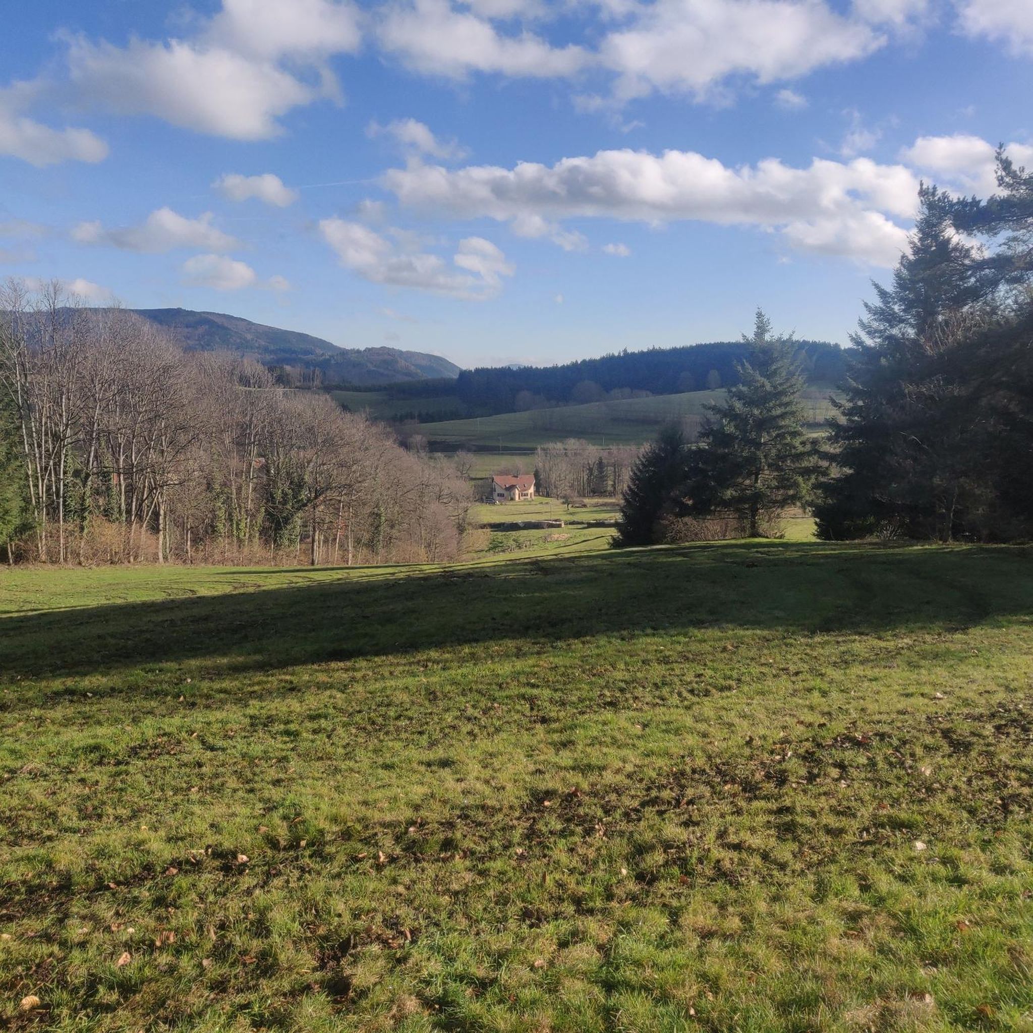
Magnificent pass to climb from different slopes (Breitenbach, Steige, Vallée de la Bruche, Andlau). It is also a crossing point towards the Champ du feu, the Hohwald, the Mont Ste Odile.
0
0
Frequently Asked Questions
How many touring cycling routes are available around Roggensbach?
There are over 150 touring cycling routes around Roggensbach, offering a wide variety of options for different skill levels and preferences. The region is highly rated by the komoot community, with an average score of 4.4 stars.
What kind of terrain and difficulty can I expect on touring cycling routes in Roggensbach?
The Roggental Valley offers diverse routes with mostly well-paved surfaces. You'll find options ranging from those requiring good fitness to more challenging tours with significant elevation gains, some exceeding 3,000 feet. The valley also provides an accessible ascent to the Swabian Alb with pleasant, low-traffic inclines.
Are there any interesting landmarks or natural features to see along the touring cycling routes?
Yes, the Roggental Valley is known for its scenic beauty and offers views of historical landmarks like Weißenstein Castle. You can also explore natural features such as Champ du Feu and its Monoliths, or visit Salm Castle. For a refreshing stop, the Hohwald waterfall is also nearby.
What do other touring cyclists enjoy about the routes in Roggensbach?
The area is highly rated by the komoot community, with an average score of 4.4 stars from over 150 reviews. Reviewers often praise the well-maintained cycling paths, the varied terrain suitable for different ability levels, and the picturesque landscapes that include views of historical landmarks.
Are there family-friendly touring cycling routes in Roggensbach?
While many routes offer varied terrain, some sections feature pleasant inclines and well-paved surfaces that can be suitable for families. For easier options, look for routes with lower elevation gains. There are 13 easy routes available, which might be a good starting point for family outings.
Can I find circular touring cycling routes around Roggensbach?
Yes, many of the touring cycling routes in Roggensbach are designed as loops, allowing you to start and end at the same point. For example, the Col de Steige – View of Steige loop from Colroy-la-Roche is a popular circular route offering challenging climbs and expansive views.
Are the touring cycling routes in Roggensbach suitable for cycling with dogs?
While specific dog-friendly designations are not always available for every route, the natural environment of the Roggental Valley and its low-traffic roads can be enjoyable for cycling with a well-behaved dog, especially on routes with shaded sections or near water, such as the Shaded bicycle path – Picnic area by the water loop from Bourg-Bruche. Always ensure your dog is comfortable with the distance and terrain.
What is the best time of year for touring cycling in Roggensbach?
The Roggental Valley offers enjoyable cycling experiences throughout much of the year. Spring and autumn typically provide pleasant temperatures and beautiful scenery. Summer is also suitable, especially on routes with shaded sections. Always check local weather conditions before heading out.
How accessible are the touring cycling routes in Roggensbach by public transport or car?
The Roggental Valley is described as providing an easy ascent to the Swabian Alb via low-traffic roads, suggesting good accessibility by car. While specific public transport details for route access points are not provided, the region's general accessibility implies various options for reaching starting points.
Are there places to eat or stay overnight along the touring cycling routes?
Yes, there are several options for refreshments and accommodation. You can find places like the Rothlach Inn or L'Ermitage Hotel & Vegan Restaurant. For a more rustic experience, shelters such as The Haute Loge shelter or La Vieille Métairie Shelter are also available.
Where can I find more challenging touring cycling routes in the Roggental Valley?
For a more demanding ride, consider routes classified as 'difficult'. An example is the Rothau Protestant Temple – Picnic area by the water loop from Saulxures, which covers 17.5 miles (28.1 km) through varied terrain with cultural landmarks. There are 97 difficult routes in total, offering plenty of challenges.
Are there easier touring cycling routes for beginners or those seeking a relaxed ride?
Yes, Roggensbach offers 13 easy routes suitable for beginners or those looking for a more relaxed touring experience. These routes typically feature lower elevation gains and mostly well-paved surfaces, making them ideal for a leisurely ride through the scenic valley.
Which routes offer the best views, especially of Weißenstein Castle?
The Roggental Valley is known for its picturesque landscapes, and certain cycling loops within the valley offer potential views of Weißenstein Castle. While specific routes for castle views aren't listed, routes with higher elevation points or those traversing open areas are more likely to provide expansive vistas.
Most popular routes around Roggensbach
Most popular attractions around Roggensbach

Get inspired with the komoot mobile app


Explore more
Browse the best Cycling routes in other regions.
