The best road cycling routes around La Couyère
4.3
(41)
1,164
riders
205
rides
Road cycling routes around La Couyère are characterized by a generally gentle terrain, with elevations ranging from 44 to 109 meters (144 to 358 feet). This landscape offers a mix of rural roads, fields, and forests, providing varied scenery for cyclists. The region's network of minor roads and proximity to regional cycling routes in Ille-et-Vilaine allows for diverse road cycling experiences, suitable for various fitness levels.
Best road cycling routes around La Couyère
- The most popular road cycling route is…
Last updated: July 2, 2026
4.3
(4)
40
riders
Moderate road ride. Good fitness required. Mostly well-paved surfaces and easy to ride.
19
riders
46.4km
01:57
330m
330m
Moderate road ride. Good fitness required. Some segments of this route may be unpaved and difficult to ride.

Sign up for free
4.0
(1)
15
riders
29.3km
01:14
230m
230m
Easy road ride. Great for any fitness level. Mostly well-paved surfaces and easy to ride.
15
riders
71.4km
03:03
570m
570m
Moderate road ride. Good fitness required. Mostly well-paved surfaces and easy to ride.
5.0
(1)
9
riders
52.2km
02:10
320m
320m
Moderate road ride. Good fitness required. Some segments of this route may be unpaved and difficult to ride.
Get access to more routes and recommendations from other explorers.
Sign up for free
Already have an account?
Our route recommendations are based on thousands of hikes, rides, and runs completed by other people on komoot.
Start today with a free account
Your next adventure awaits.
Login or Signup




Tips from the Community

Church attested in the 12th century. Nave flanked by a north aisle, built between 1540 and 1549 (date of consecration by the bishop of Rennes), and by a south aisle, built between 1603 and 1605 (dates inscribed). Inscription on the south door: ESTANT NOBLE ET DISCRET PRESTRE : RENE DE L'ESPINAY RECTEUR DE PIRE : SIEUR DE LA GUAYE FUT CESTE EDIF : CE COMMENCE. SA (NC) TE DEUS SA (NC) TE FORTIS SA (NC) TE IMORTALIS MISERERE NOBIS SA (NC) TE PETRE ORA P (RO) NOBIS : TOUT EST A Dieu 1603. The choir was first rebuilt in 1627, then surmounted by a dome struck by lightning in 1741, then again between 1752 and 1775, flanked by side sacristies. Bell tower at the top of the nave rebuilt in 1669. In 1874, architect Aristide Tourneux had a bay added to the north of the nave and a porch-tower surmounted by a spire built. Stained glass windows signed and dated: Claudius Lavergne 1882, and also stained glass windows from the Rault workshops and the Carmel of Le Mans. South wall of the enclosure redone in the 19th century with a monumental corner staircase.
0
0

With nearly 20 meters long, 6 meters wide, and 4 meters high, the Roche-aux-Fées remains the largest dolmen in France and one of the best-preserved in Europe. It is composed of a schist-covered passage formed by four chambers whose meaning has not yet been revealed. Although the construction of this monument dates back to the Neolithic period, around 2000 BC, specialists remain perplexed about its construction method. The site is impressive. And when you know that some stones weighing over 40 tons come from several kilometers around, you wonder how the inhabitants of the time managed to move them there. Such a site could only inspire stories, legends, and beliefs. One of them tells that the fairy Viviane, aided by fellow fairies, would have built this imposing monument... in one night. Another concerns lovers: to know if their union will last, couples must walk around the Roche-aux-fées, each in a different direction, and count the stones. If they find the same number of stones, their future will be bright! Through a mysterious alignment during the winter solstice on December 21st or 22nd, the sun rises facing the entrance of the dolmen. At that moment, the light rays magically illuminate the stone located at the back of the covered passage. Access is free and open. The small surrounding roads are charming and quiet.
0
0

Short video of the site: https://www.youtube.com/watch?v=bqEBsKL7P7s
0
0


The church, which consists of a large nave and two six-bay aisles, a transept, and a three-bay choir without an ambulatory, is 65 meters long. The transept is 26.50 m long, and the naves are 17.5 m wide. The bell tower is 65 meters high without the cross. It has a set of five bells made in 1895 by the Bollée foundry in Le Mans: Saint-Nicolas (the bourdon), weighing 4027 kg, playing the A of octave 2 Anne, weighing 1552 kg, playing the D of octave 3 Marie, weighing 1067 kg, playing the M of octave 3 Joséphine-Jeanne, weighing 726 kg, playing the F sharp of octave 3 Henriette-Victorienne, weighing 450 kg, playing the A of octave 3
0
0
The original chapel, initially dedicated to Notre-Dame, was built by Geoffroy IV, Baron of Châteaubriant, on the site where the cattle market was held from May to October until 1763. A text attests to its existence in 1263. [Threatening to fall into ruin, it was demolished in 1518, leaving only the choir of the old chapel standing. The place of worship was immediately rebuilt in a more spacious form using Châteaubriant schist (Nozay stone), based on the plans of Jean Delorme, brother of Philibert Delorme, thanks to the demolition of a neighboring house and the financial support of Jean de Laval. However, the latter's poor financial situation meant that by 1530, only the nave of the building had been built. At the death of Françoise de Foix in 1537 and Jean de Laval in 1543, the Notre-Dame chapel still lacked a framework. It was not until 1551 that the final work was undertaken by Baron Anne de Montmorency. The dedication of the new place of worship took place ten years later, on November 5, 1561, in the presence of the coadjutor of the Bishop of Nantes, and the name of Notre-Dame was changed to Saint-Nicolas, for an unknown reason. On the same day, the body of Jean de Laval, then encased in a lead reliquary, was transported from the castle chapel to the new building. Jean de Laval had wished to see the chapel erected as a collegiate church, but this wish was not granted. However, the building, as vast as a church, shared the honors of worship with the Church of Saint-Jean de Béré, which was then the parish church of the town, until the Revolution. Indeed, the Saint-Nicolas chapel, although of undeniable architectural value, was not suitable for worship in a parish as large as that of Châteaubriant. Nevertheless, in the 15th and 16th centuries, masses, vespers, and many ceremonies were held in the chapel for reasons of convenience, as it was closer to the town of Châteaubriant, while baptisms were all celebrated at Saint-Jean de Béré. At the end of the 19th century, the church, which became the parish seat in 1801, was completely rebuilt. The architect Eugène Boismen drew up the plans, inspired by those of the Saint-Nicolas basilica in Nantes, one of the first neo-Gothic projects in France, which was beginning to inspire architects throughout the west of the country. The foundation stone was blessed on April 25, 1875, by Bishop Fournier of Nantes. The choir, sacristies, transept, and five bays were only completed at the time of the consecration, which was performed by his successor, Bishop Le Coq, on February 1, 1881. The foundations of the bell tower and the remaining bay began in June 1892, based on plans by architect François Bougoüin. The tower and spire were completed in August 1894.
0
0

This recently built church (end of the 19th century) is visible from afar with its 65 meters in height.
0
0

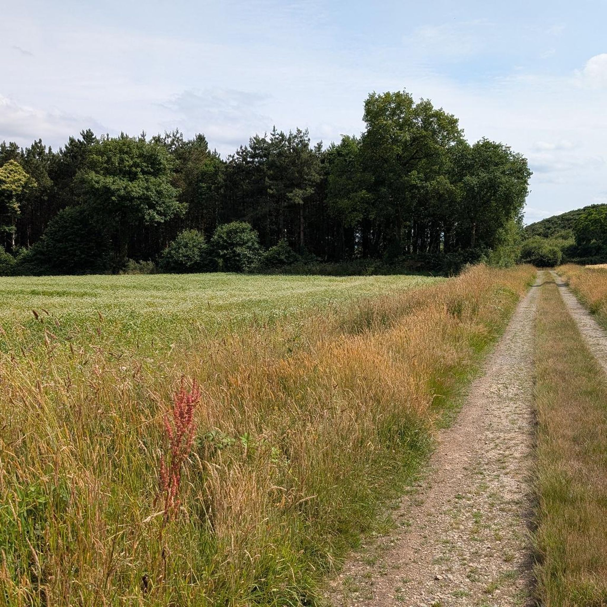
Fully secure cycle path protected from cars.
1
0
Frequently Asked Questions
What is the general terrain like for road cycling around La Couyère?
The terrain around La Couyère is generally gentle and undulating, with elevations ranging from 44 to 109 meters (144 to 358 feet). This makes it suitable for road cyclists of varying fitness levels, offering less challenging rides compared to mountainous regions. You'll primarily encounter rural roads, fields, and forests, providing pleasant views of the countryside.
Are there road cycling routes suitable for different difficulty levels?
Yes, La Couyère offers a range of road cycling routes catering to various skill levels. Out of 183 available routes, 43 are considered easy, 135 are moderate, and 5 are more difficult. For an easy option, consider the Étang de Marcillé-Robert loop from Janzé, which is 29.3 km long.
What kind of landmarks or points of interest can I expect to see on a road cycling tour near La Couyère?
Road cycling routes in the area often pass by historical and natural points of interest. You could cycle past the impressive neolithic dolmen, La Roche-aux-Fées Dolmen, which is considered the largest undisputed dolmen in France. Another route, Fathers' Castle – Saint-Maximilien-Kolbé Church loop from Le Theil-de-Bretagne, features historical landmarks like the Saint-Maximilien-Kolbé Church and the Château Des Pères.
Are there many circular road cycling routes available?
Yes, many of the road cycling routes around La Couyère are designed as loops, allowing you to start and finish in the same location. Examples include The Fairies' Rock loop from Janzé and the Étang de Marcillé-Robert loop from Janzé, providing convenient options for exploration.
What is the best time of year for road cycling in La Couyère?
The Ille-et-Vilaine region, including La Couyère, is generally pleasant for cycling from spring through autumn. The gentle terrain makes it enjoyable in milder weather, avoiding the heat of deep summer or the chill of winter. Spring and early autumn offer comfortable temperatures and beautiful rural scenery.
Is La Couyère well-connected to regional cycling networks?
Yes, La Couyère benefits from its location within the Ille-et-Vilaine department, which features a network of 'voies vertes' (greenways) and cycling tours on minor roads. These regional networks allow for quiet pedaling and link various towns and natural sites, providing diverse cycling experiences beyond the immediate commune.
What do other cyclists say about road cycling in La Couyère?
The road cycling routes around La Couyère are highly rated by the komoot community, with an average score of 4.2 stars from over 30 reviews. More than 1000 road cyclists have used komoot to explore the area, often praising the varied terrain, rural scenery, and the opportunity to discover historical sites.
Are there any longer road cycling routes for experienced cyclists?
For those seeking a longer ride, the Chateau de Chateaubriant – Torche Pond loop from La Bosse-de-Bretagne offers a challenging 70.3 km route with over 545 meters of elevation gain. Another option is the Fathers' Castle – Saint-Maximilien-Kolbé Church loop from Le Theil-de-Bretagne, a moderate 61.3 km trail.
Can I find accommodation or places to eat near the cycling routes?
While La Couyère is a small commune, the broader Ille-et-Vilaine region offers various options for accommodation, cafes, and pubs. Cyclists can find facilities in nearby towns and villages that are often linked by the regional cycling networks, providing convenient stops during or after their rides.
What are the typical elevation gains on road cycling routes in the area?
Given the gentle terrain, elevation gains on road cycling routes around La Couyère are generally moderate. For example, a 46.3 km route like The Fairies' Rock loop from Janzé has an elevation gain of approximately 330 meters. Longer routes, such as the 70.3 km Chateau de Chateaubriant – Torche Pond loop from La Bosse-de-Bretagne, can have around 545 meters of ascent.
Is it possible to reach La Couyère by public transport with a bike?
The Ille-et-Vilaine department is working on improving cycling infrastructure, which often includes public transport options that accommodate bikes. It's advisable to check local bus or train schedules and policies for specific routes to La Couyère or nearby towns, as services can vary.
Are there any specific permits required for road cycling in the La Couyère area?
Generally, no specific permits are required for road cycling on public roads and designated cycling paths in the La Couyère area or the broader Ille-et-Vilaine department. Cyclists are expected to follow standard traffic laws and respect local regulations.
Most popular routes around La Couyère
Most popular attractions around La Couyère

Get inspired with the komoot mobile app


Explore more
Browse the best Road cycling routes in other regions.
