The best running trails around Volesvres
4.6
(67)
1,039
runners
170
runs
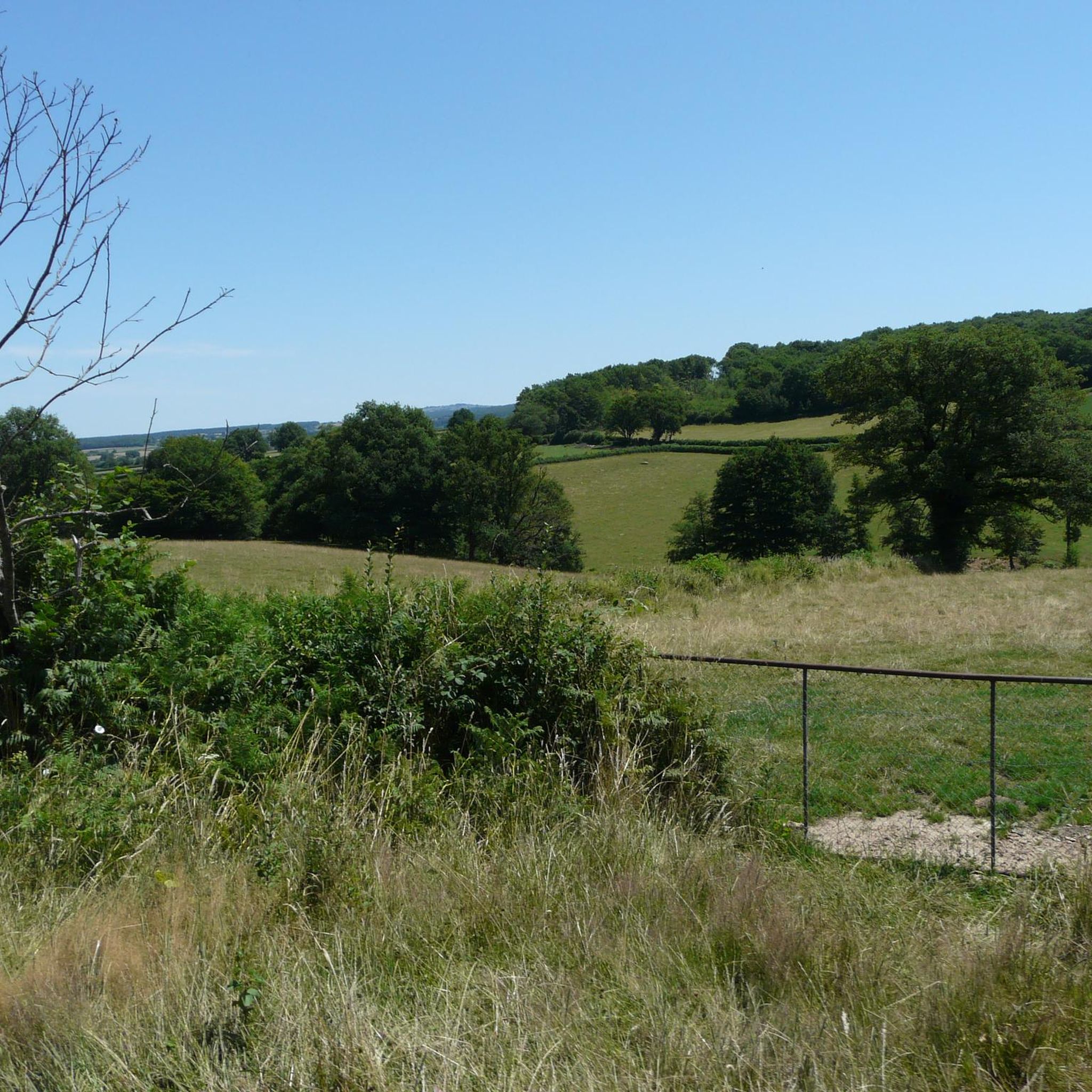
Jogging routes around Volesvres offer a diverse landscape in the Saône-et-Loire department of eastern France. The area is characterized by the Bourbince River, which provides serene riverside paths, typically flat and conducive to running. Nearby, the Butte de Suin, a 600-meter hill, presents trails with significant elevation changes and panoramic views. Further afield, Mont Saint-Cyr, at 771 meters, offers more strenuous routes with varied ascents and descents.
Best jogging routes around Volesvres
- The most popular jogging route is Canal du Centre greenway – Basilica of Paray-le-Monial loop from Paray-le-Monial, a 6.2 miles (9.9 km) trail that takes 1 hour 3 minutes to complete. This route follows the tranquil Canal du Centre greenway, offering flat terrain ideal for a steady run.
- Another top favourite among local runners is Canal du Centre greenway loop from Pont de Bord, a moderate 5.1 miles (8.2 km) path. This route provides a pleasant, level running experience along the canal, suitable for a quick workout.
- Local runners also love the Étang des Moines – Bois des Aisances loop from Paray-le-Monial, a 10.0 miles (16.1 km) trail leading through varied terrain including the Étang des Moines and Bois des Aisances, often completed in about 1 hour 47 minutes.
- Jogging around Volesvres is defined by tranquil riverine environments, gentle greenways, and nearby hills offering panoramic views. The network of running routes provides options for various ability levels, from easy riverside jogs to more challenging ascents.
- The routes in Volesvres are highly rated by the komoot community with an average score of 4.25 stars from over 60 reviews. More than 800 runners have used komoot to explore Volesvres's varied terrain.
Last updated: July 11, 2026
4.0
(15)
60
runners
Moderate run. Good fitness required. Mostly paved surfaces. Suitable for all skill levels.
22
runners
Moderate run. Good fitness required. Mostly paved surfaces. Suitable for all skill levels.

Sign up for free
5.0
(1)
34
runners
7.22km
00:46
10m
10m
Moderate run. Good fitness required. Mostly paved surfaces. Suitable for all skill levels.
3.9
(12)
35
runners
9.53km
01:00
50m
50m
Moderate run. Good fitness required. Mostly paved surfaces. Suitable for all skill levels.
14
runners
18.2km
02:01
100m
100m
Hard run. Very good fitness required. Mostly paved surfaces. Suitable for all skill levels.
Get access to more routes and recommendations from other explorers.
Sign up for free
Already have an account?
Our route recommendations are based on thousands of hikes, rides, and runs completed by other people on komoot.
Start today with a free account
Your next adventure awaits.
Login or Signup
Tips from the Community

A pleasant stretch that runs alongside the Canal du Centre between Paray-le-Monial and Digoin.
0
0

It's so beautiful that words are insufficient
0
0

simply impressive! The city is also beautiful. We had a good meal here!
0
0

The Voie Verte du Canal du Centre, located just outside Paray-le-Monial, offers a scenic and relaxing experience in the heart of the Burgundy region. Along the way, you will enjoy a well-maintained greenway that runs alongside the historic Canal du Centre, allowing you to ride on flat and easy terrain. It is the perfect complement to any hike.
3
0

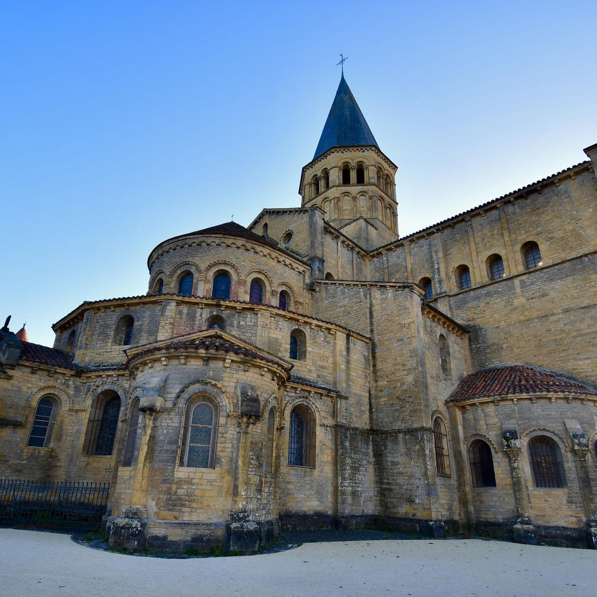
Paray-le-Monial, nestled in the Saône-et-Loire region, is a town renowned for its spiritual importance. With its Romanesque architecture, notably the Basilica of the Sacred Heart, it attracts pilgrims every year.
1
0

Very friendly little town.
0
0

Nice place with good cafes in the car-free zone and a good bike shop on the canal
0
0

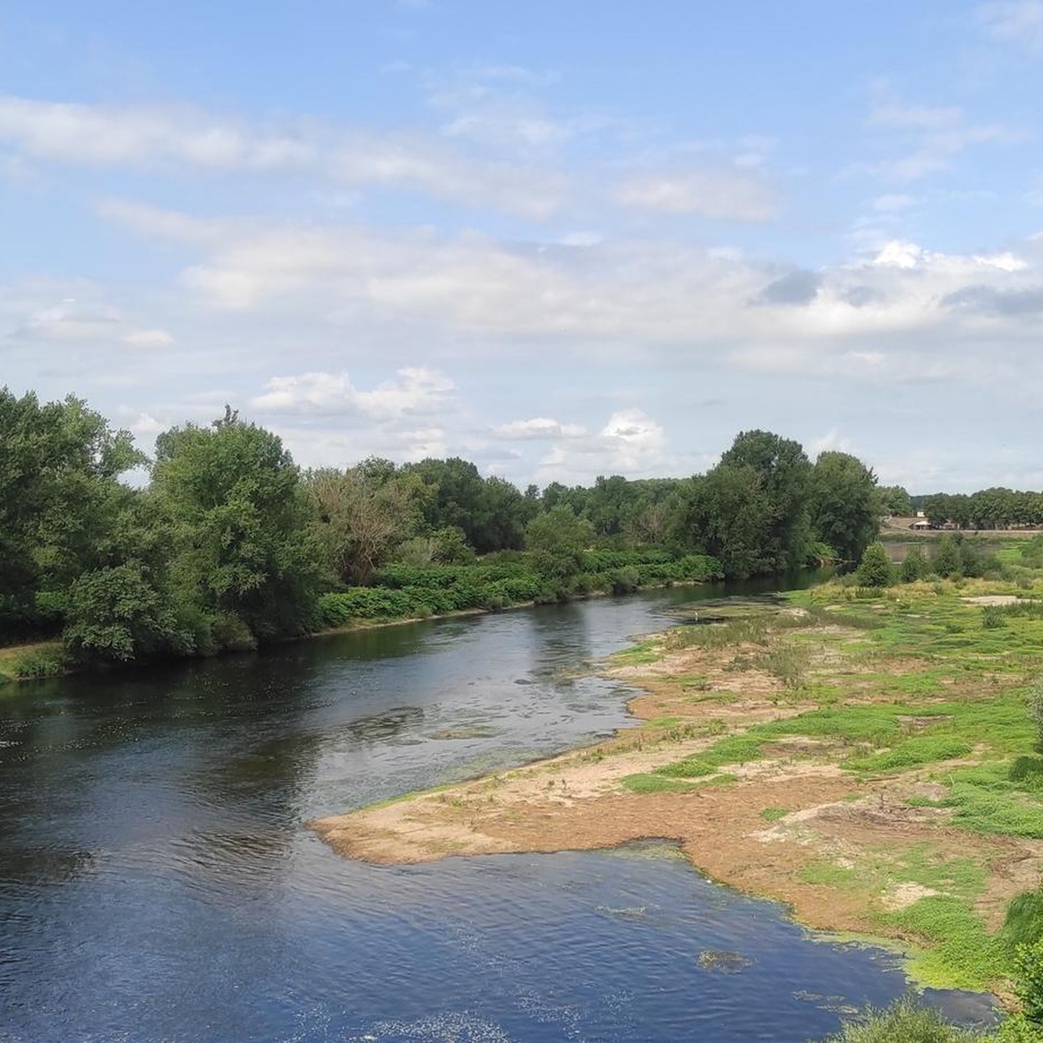
Paray-le-Monial is a French town in the Saône-et-Loire department in the Bourgogne-Franche-Comté region. Paray-le-Monial has 9214 inhabitants (as of January 1st, 2019) and covers an area of approximately 25 km2. The city lies on the Bourbince River and the Canal du Center, which runs parallel to it. Paray-le-Monial is known for the Sacré-Cœur priory church. In Paray, the Emmanuel community runs a mission school. (Source: Wikipedia)
2
0
Frequently Asked Questions
What types of running routes can I find around Volesvres?
Volesvres offers a diverse range of running routes. You'll find tranquil, flat paths along the Bourbince River and the Canal du Centre greenway, ideal for a steady jog. For those seeking more challenge, nearby hills like the Butte de Suin and Mont Saint-Cyr provide trails with significant elevation changes and panoramic views. The area features over 130 running routes, catering to various fitness levels.
Are there any easy or beginner-friendly running trails in Volesvres?
Yes, Volesvres has several easy running options perfect for beginners or a relaxed pace. The Canal du Centre greenway loop from Paray-le-Monial is a great choice, offering a pleasant and level experience along the canal. There are 6 easy routes in total, primarily found along the greenways.
What are some popular running routes that offer scenic views?
For scenic views, consider routes that venture towards the higher elevations. While specific routes are not detailed for panoramic views, the Butte de Suin, located near Volesvres, offers magnificent 360-degree panoramic views of the Charolais, Clunysois, and Beaujolais regions. Mont Saint-Cyr also provides exceptional panoramic vistas from its summit. Many routes along the Canal du Centre greenway offer serene waterside scenery.
Can I find running routes suitable for families with children?
Yes, the flat and well-maintained paths along the Canal du Centre greenway are generally very suitable for families. Routes like the Canal du Centre greenway loop from Romay offer a safe and enjoyable environment for all ages, away from traffic, making them ideal for a family run or walk.
Are dogs allowed on the running trails in Volesvres?
While specific regulations for every trail can vary, generally, many outdoor paths in rural France, especially greenways and forest trails, are dog-friendly, provided dogs are kept on a leash and owners clean up after them. The tranquil nature of the Bourbince River paths and Canal du Centre greenways makes them popular choices for runners with dogs.
What kind of landmarks or points of interest can I see while running in the Volesvres area?
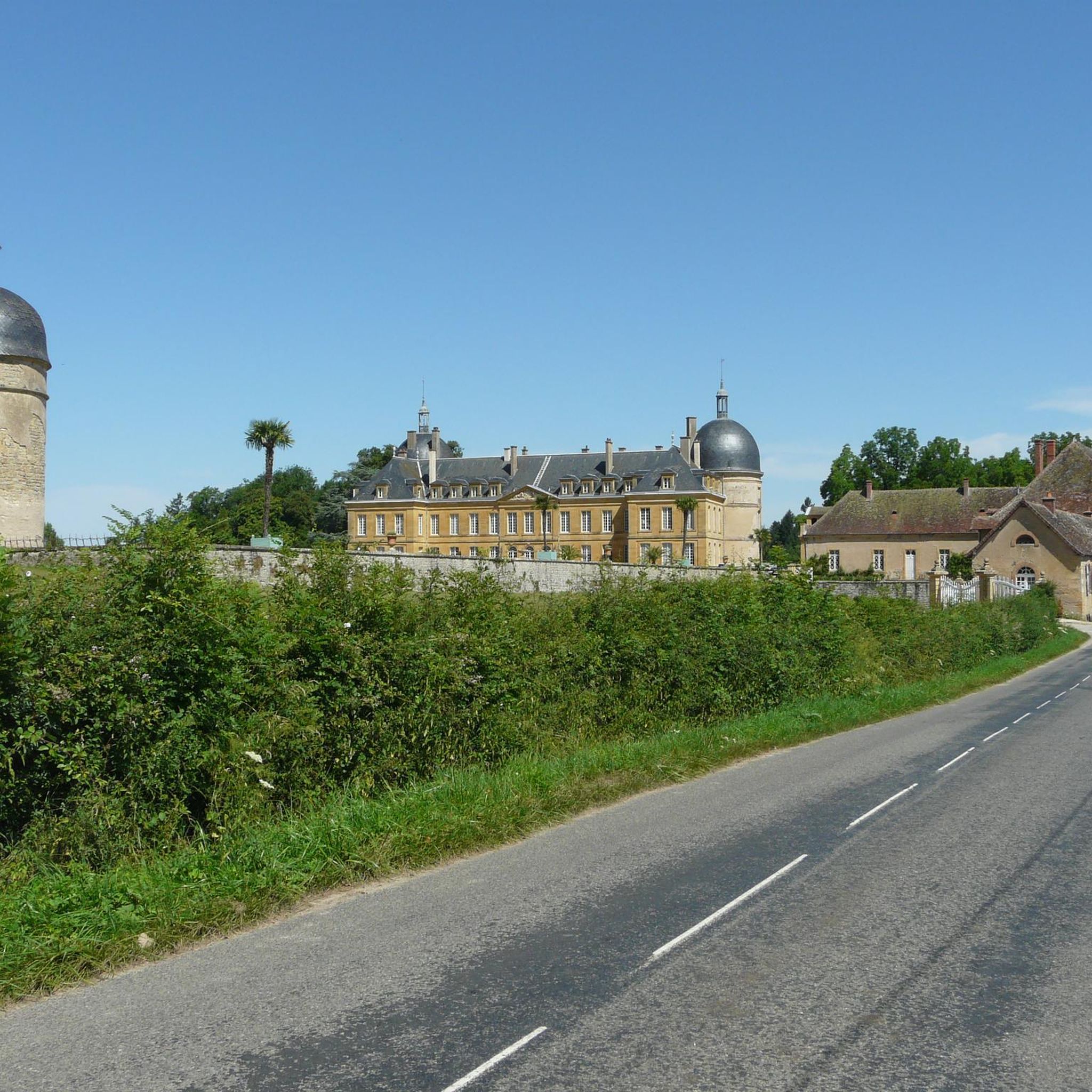
The region around Volesvres offers several interesting landmarks. You might encounter historical sites like the Basilica of Paray-le-Monial or the Château de Digoine. Natural points of interest include the Bourbince River and the diverse ecosystems of the Butte de Suin, which is recognized as a Zone naturelle d'intérêt écologique, faunistique et floristique (ZNIEFF).
What is the best time of year to go running in Volesvres?
The spring and autumn months are generally ideal for running in Volesvres, offering pleasant temperatures and beautiful scenery. Spring brings blooming flora, while autumn showcases vibrant fall colors. Summer can be warm, so early morning or late evening runs are recommended. Winter running is possible, but conditions may vary, especially on higher trails.
Are there any circular running routes available?
Yes, many of the running routes around Volesvres are designed as loops, allowing you to start and finish at the same point. For example, the Canal du Centre greenway loop from Pont de Bord is a popular moderate option that forms a complete circuit, offering convenience for runners.
What do other runners say about the trails in Volesvres?
The running routes in Volesvres are highly rated by the komoot community, with an average score of 4.25 stars from over 60 reviews. Runners often praise the tranquil riverine environments, the gentle greenways, and the varied terrain that provides options for both easy jogs and more challenging ascents.
Are there any challenging running routes for experienced runners?
Absolutely. For experienced runners seeking a challenge, the region offers routes with significant elevation changes. The Étang des Moines – Bois des Aisances loop from Paray-le-Monial is a difficult 16.1 km trail leading through varied terrain. Additionally, the trails on the Butte de Suin and Mont Saint-Cyr provide strenuous workouts with rewarding ascents and descents.
Is public transport available to access running trails near Volesvres?
While Volesvres itself is a smaller commune, nearby towns like Paray-le-Monial, which serves as a starting point for several running routes, may offer better public transport connections. It's advisable to check local bus or train schedules for access to specific trailheads, especially those further from the village center.
Are there specific routes that follow the Bourbince River?
The Bourbince River forms part of Volesvres's natural landscape, and its presence implies pleasant riverside paths. While specific named routes directly along the Bourbince are not detailed, the tranquil riverine environment is a characteristic feature of the area, and many local paths will likely offer access to or views of the river, providing serene running environments.
Most popular attractions around Volesvres

Get inspired with the komoot mobile app


Explore more
Browse the best Running Trails & Routes in other regions.
