The best cycling routes around Salzern
4.3
(122)
1,375
riders
124
rides
Touring cycling routes around Salzern are characterized by a diverse landscape featuring forested hills, river valleys, and elevated passes. The region offers varied terrain, from shaded paths along waterways to more challenging ascents through natural reserves. This area provides a network of routes that navigate through its natural features, including significant elevation changes.
Best touring cycling routes around Salzern
- The most popular touring cycling route is Rothau Protestant Temple – Picnic area by the water loop from Saulxures, a…
Last updated: July 5, 2026
4.5
(2)
28
riders
53.5km
03:45
990m
990m
Hard bike ride. Very good fitness required. Mostly paved surfaces. Suitable for all skill levels.
5.0
(2)
25
riders
20.7km
01:20
250m
250m
Moderate bike ride. Good fitness required. Mostly paved surfaces. Suitable for all skill levels.

Sign up for free
5.0
(1)
24
riders
37.7km
02:47
840m
840m
Hard bike ride. Very good fitness required. Mostly paved surfaces. Suitable for all skill levels.
3.7
(3)
45
riders
50.9km
03:13
450m
450m
Hard bike ride. Very good fitness required. Mostly paved surfaces. Suitable for all skill levels.
5.0
(2)
19
riders
Moderate bike ride. Good fitness required. Mostly paved surfaces. Suitable for all skill levels.
Get access to more routes and recommendations from other explorers.
Sign up for free
Already have an account?
Our route recommendations are based on thousands of hikes, rides, and runs completed by other people on komoot.
Start today with a free account
Your next adventure awaits.
Login or Signup

Tips from the Community

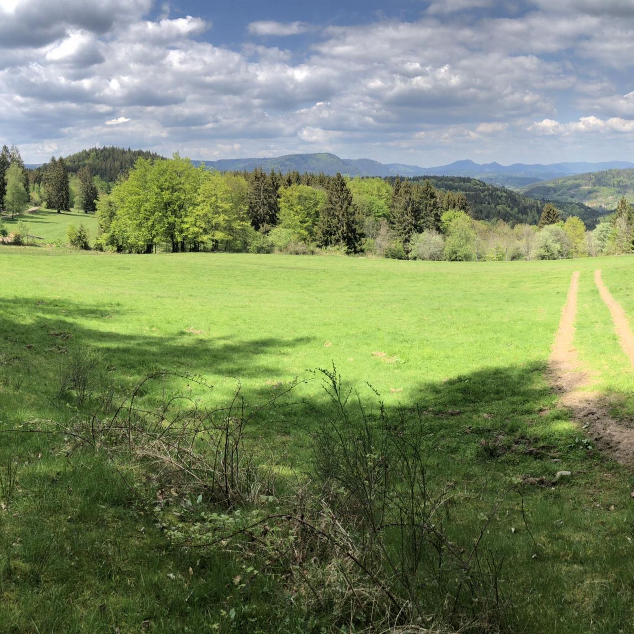
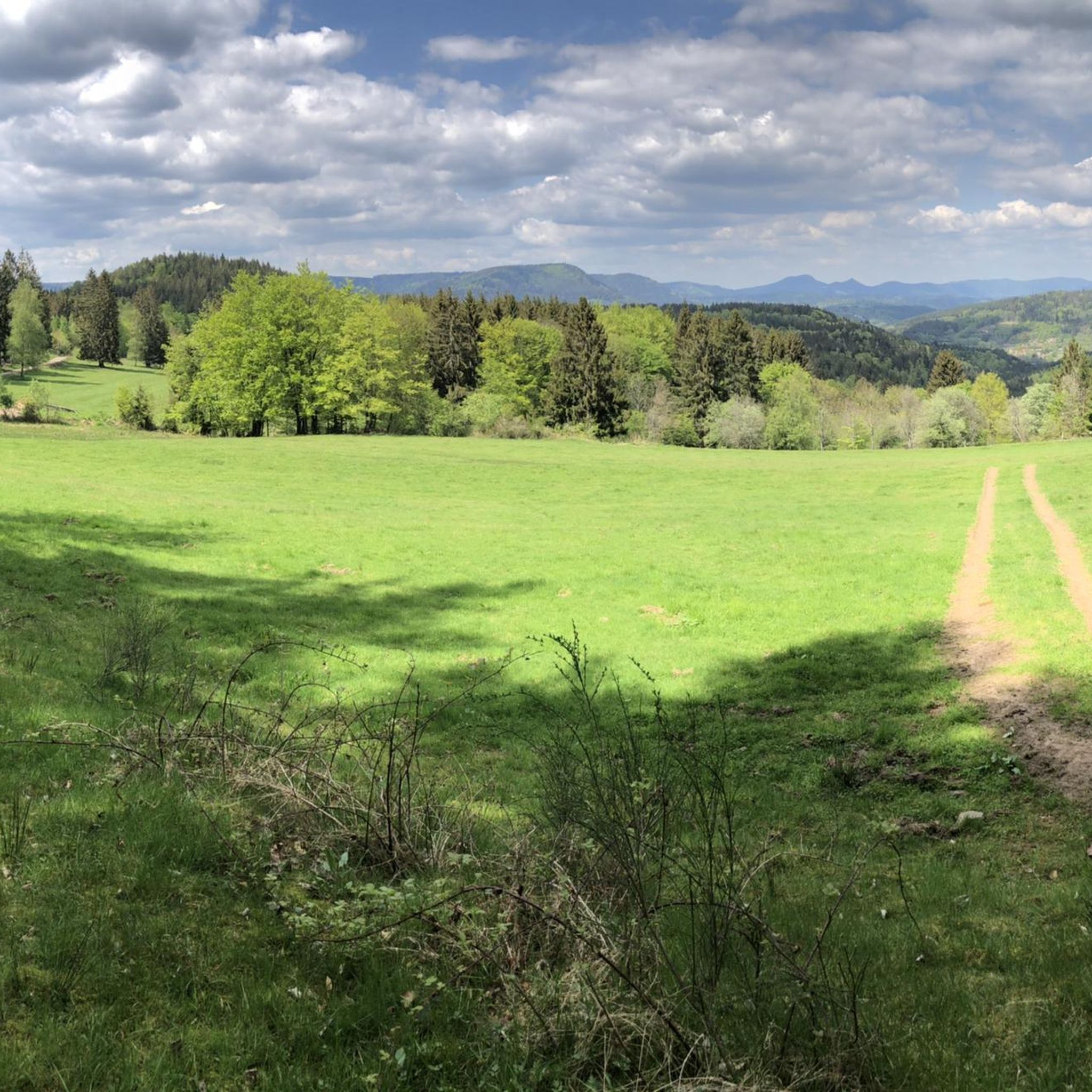
The Champ du Feu, at 1099 meters, is the highest mountain in the Bas-Rhin department in the Vosges in Alsace. It is located between the towns of Belmont and Le Hohwald and consists of a vast plateau with forests, meadows, and moorlands. The area is a popular nature and recreational area. In summer, it is mainly used for hiking, mountain biking, and nature observation. In winter, there is a small ski area with cross-country trails and simple slopes for winter sports. From the Champ du Feu, the La Serva stream originates, which later forms the Cascade de la Serva. In clear weather, the summit offers wide views over the Vosges, the Rhine plain, and even the Black Forest. The area is particularly known for its quiet nature, high moors, sunrises and starry skies, as well as well-marked hiking trails.
0
0

This section of the cycle path that crosses the Bruche Valley is one of the most beautiful. The landscape is completely unobstructed, allowing you to admire the first Vosges mountains. All this while cycling on a very high-quality surface.
0
0


Magnificent pass to climb from different slopes (Breitenbach, Steige, Vallée de la Bruche, Andlau). It is also a crossing point towards the Champ du feu, the Hohwald, the Mont Ste Odile.
0
0

The former town hall of Schirmeck on the market square was built in 1864. Today, the building houses clubs and the media library.
0
0

Rothau played an important role in the valley's religious history, as evidenced by this 19th-century Protestant church. Admission is free.
0
0
This section of the cycle path, which follows the Vélo Bruche route, unfolds in a very pleasant setting shaded by the trees. Whether in autumn or in the summer heat, the setting remains utterly authentic.
1
0
Frequently Asked Questions
How many touring cycling routes are available in Salzern?
Salzern offers a comprehensive network of over 120 touring cycling routes. These routes traverse diverse landscapes, including forested hills, river valleys, and elevated passes, providing options for various skill levels.
What kind of terrain can I expect on touring cycling routes in Salzern?
The touring cycling routes in Salzern feature a varied terrain. You'll find shaded paths along waterways, rolling hills, and more challenging ascents through natural reserves and over mountain passes. The region is characterized by significant elevation changes, offering a dynamic cycling experience.
Are there touring cycling routes suitable for beginners in Salzern?
Yes, Salzern has options for less experienced cyclists. There are 14 easy touring cycling routes available, perfect for those looking for a more relaxed ride without significant climbs. These routes often follow river valleys or offer gentler gradients.
What are some challenging touring cycling routes in Salzern?
For experienced touring cyclists seeking a challenge, Salzern offers 76 difficult routes. One notable challenging route is the Charbonnière Pass – Shaded bicycle path loop from Saint-Blaise-la-Roche, which covers 33.2 miles (53.5 km) with nearly 1000 meters of elevation gain, winding through shaded forests and over mountain passes. Another demanding option is the Camp du Feu Nature Reserve – Charbonnière Pass loop from Plaine, featuring over 880 meters of ascent.
Are there circular touring cycling routes in Salzern?
Many of the touring cycling routes in Salzern are designed as loops, allowing you to start and end at the same point. Examples include the Rothau Protestant Temple – Picnic area by the water loop from Saulxures, a 17.5-mile (28.1 km) route, and the Shaded bicycle path – Start of the Way of the Cross loop from Saulxures, which is 13.1 miles (21.0 km) long.
What can I see along the touring cycling routes in Salzern?
Along the touring cycling routes in Salzern, you can explore a variety of natural and historical attractions. Highlights include natural monuments like Champ du Feu and the Camp du Feu Nature Reserve. You can also discover historic castles such as Salm Castle and La Roche Castle, offering scenic points and cultural insights.
What do other touring cyclists enjoy most about touring cycling in Salzern?
The touring cycling experience in Salzern is highly rated by the komoot community, with an average score of 4.4 stars from over 110 reviews. Cyclists often praise the diverse terrain, from shaded forest paths to challenging mountain passes, and the scenic beauty of the region's natural reserves and river valleys.
Are there any routes that pass through natural reserves?
Yes, several routes in Salzern take you through beautiful natural reserves. For instance, the Camp du Feu Nature Reserve – Charbonnière Pass loop from Plaine offers a challenging ride through the protected landscapes of the Camp du Feu Nature Reserve, known for its diverse flora and fauna.
Can I find routes with significant elevation changes for a good workout?
Absolutely. Salzern is known for its routes with substantial climbs, perfect for a good workout. The Charbonnière Pass – Shaded bicycle path loop from Saint-Blaise-la-Roche, for example, features nearly 1000 meters of elevation gain over its 33.2 miles, providing a demanding and rewarding cycling experience.
Are there any routes that follow waterways or offer views of lakes?
While the primary guide data for Salzern emphasizes forested hills and river valleys, the region's characteristics suggest routes often run along waterways. The Rothau Protestant Temple – Picnic area by the water loop from Saulxures is an example of a route that includes a picnic area by the water, indicating scenic sections along rivers or smaller bodies of water.
What is a good moderate touring cycling route in Salzern?
For a moderate touring cycling experience, consider the Shaded bicycle path – Start of the Way of the Cross loop from Saulxures. This 13.1-mile (21.0 km) route leads through forested areas with manageable elevation changes, making it a popular choice for those looking for an enjoyable ride without extreme difficulty.
Most popular attractions around Salzern

Get inspired with the komoot mobile app


Explore more
Browse the best Cycling routes in other regions.
