The best running trails around La Chapelle-Du-Mont-De-France
4.5
(38)
855
runners
112
runs
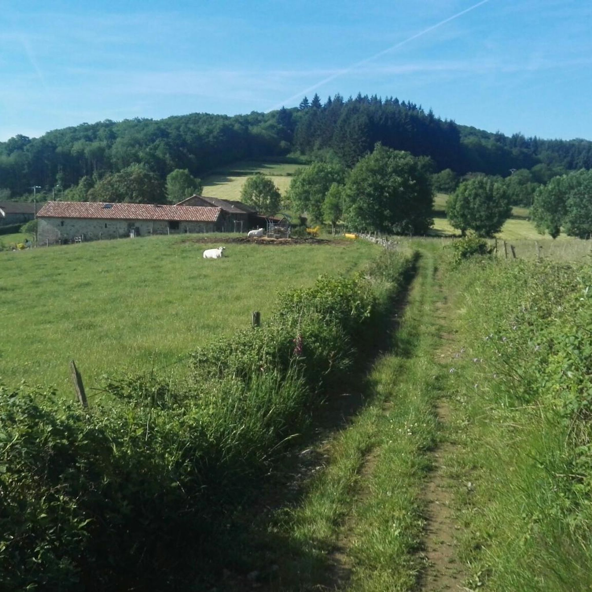
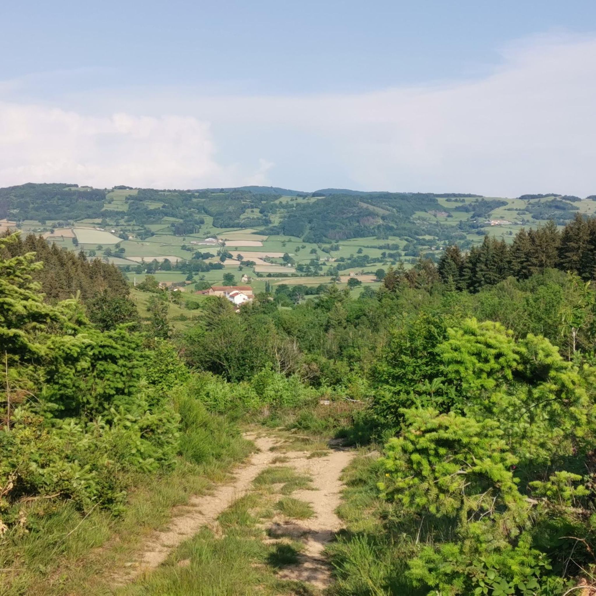
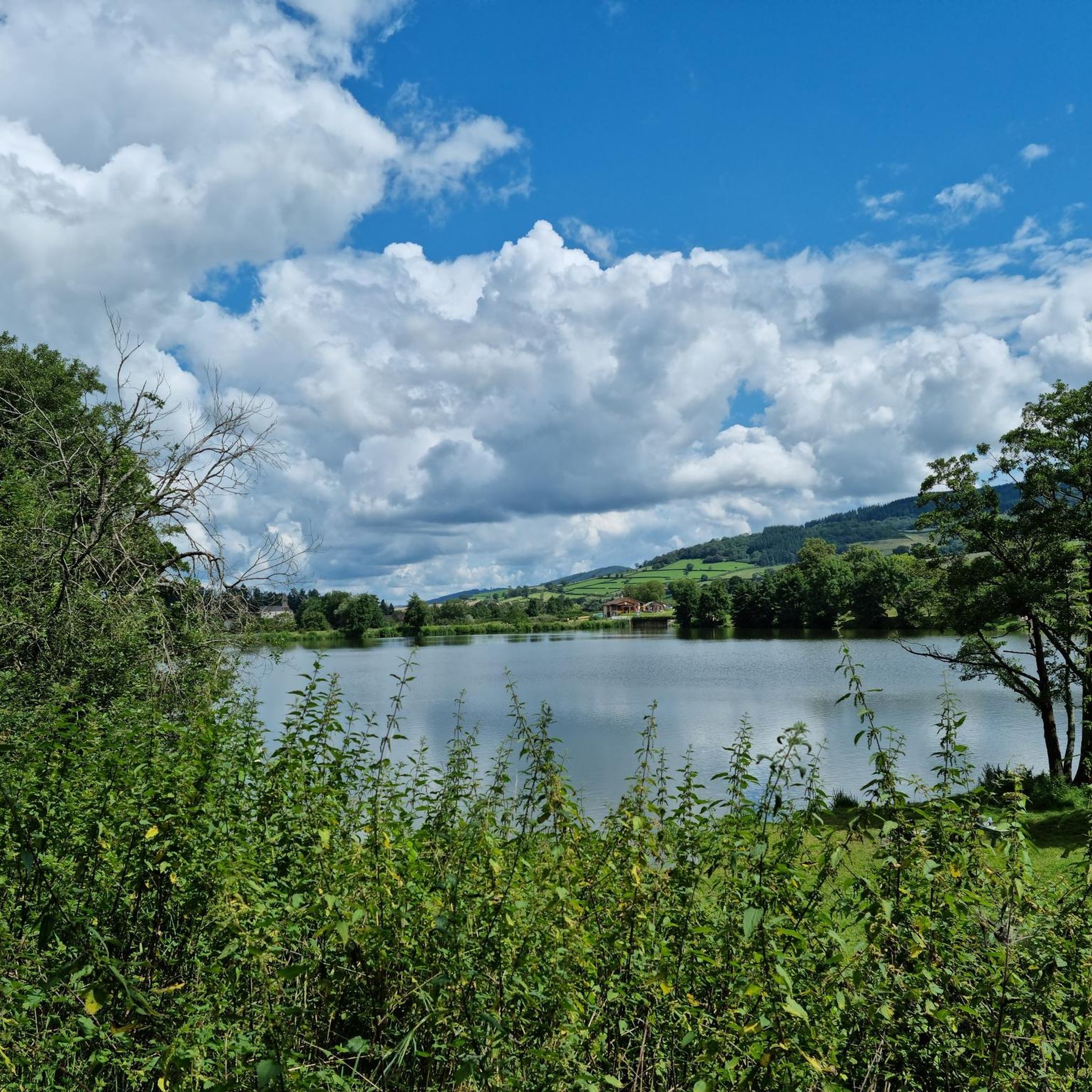
Jogging routes around La Chapelle-Du-Mont-De-France traverse a landscape characterized by rolling hills and dense forests in the Saône-et-Loire department of eastern France. The region offers varied terrain with natural inclines and descents, providing a diverse environment for runners. Elevations range between 294 and 546 meters, with an average of 389 meters. The quiet country roads and paths winding through meadows and woodlands offer a peaceful setting for running.
Best jogging routes around La Chapelle-Du-Mont-De-France
- The most popular jogging route is…
Last updated: July 1, 2026
27
runners
37.2km
04:31
910m
910m
Hard run. Very good fitness required. Mostly paved surfaces. Suitable for all skill levels.
3.0
(1)
22
runners
19.0km
02:20
440m
440m
Hard run. Very good fitness required. Mostly paved surfaces. Suitable for all skill levels.

Sign up for free
18
runners
4.80km
00:34
80m
80m
Easy run. Great for any fitness level. Mostly paved surfaces. Suitable for all skill levels.
16
runners
28.8km
03:44
880m
880m
Hard run. Very good fitness required. Mostly paved surfaces. Suitable for all skill levels.
5.0
(1)
5
runners
8.43km
00:57
150m
150m
Moderate run. Good fitness required. Mostly paved surfaces. Suitable for all skill levels.
Get access to more routes and recommendations from other explorers.
Sign up for free
Already have an account?
Our route recommendations are based on thousands of hikes, rides, and runs completed by other people on komoot.
Start today with a free account
Your next adventure awaits.
Login or Signup
Tips from the Community

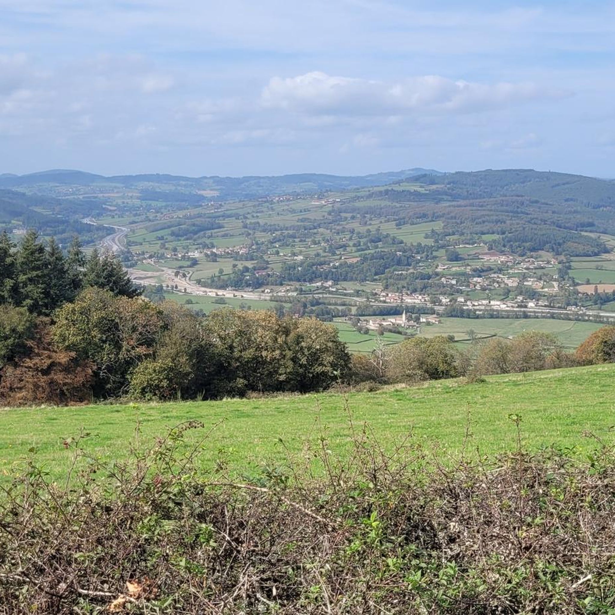
Mont Saint-Cyr is located in southern Burgundy (Département Saône-et-Loire) in the municipality of Montmelard and, at 771 meters, is the highest point in the Mâconnais mountains. From the summit, there is a wide panoramic view of the surrounding landscapes of Charolais, Brionnais, and Clunisois. In very clear weather, the view to the east even extends to Mont Blanc in the Alps. On the mountain are the historical remains of a 10th-century monastery that was destroyed during the Huguenot Wars. There is a picnic area in the forest, as well as orientation panels that are helpful in identifying the surrounding peaks and valleys.
0
0
Mont Saint-Cyr is located in southern Burgundy (Saône-et-Loire department) in the municipality of Montmelard and, at 771 meters, is the highest point of the Mâconnais mountains. From the summit, there is a wide panoramic view of the surrounding landscapes of Charolais, Brionnais, and Clunisois. In very clear weather, the view extends eastwards to Mont Blanc in the Alps. On the mountain are the historical remains of a 10th-century monastery, which was destroyed during the Huguenot Wars. There is a picnic area in the forest as well as orientation panels that are helpful in identifying the surrounding peaks and valleys.
0
0

Impressive views over southern Burgundy and Haut-Beaujolais
1
0

A very steep climb from Montmelard, not much fun by bike. View is good, best very early or in the evening.
1
0


Mont Saint-Cyr, with its 771 m, is the highest point of the Mâconnais mountains. From its summit, you can enjoy a 360° view of the surroundings and even of the Alps when the weather allows it.
3
0
Mont Saint-Cyr, at 771 m, is the highest point of the Mâconnais mountains. From its summit, you can enjoy a 360° view of the surroundings and even of the Alps when the weather allows it.
4
0

Frequently Asked Questions
How many running routes are available in the La Chapelle-Du-Mont-De-France area?
There are over 100 dedicated jogging routes around La Chapelle-Du-Mont-De-France. These trails traverse a diverse landscape of rolling hills and dense forests, offering a variety of experiences for runners.
What kind of terrain can I expect on the running trails around La Chapelle-Du-Mont-De-France?
The region is characterized by its rural, rolling hillside and dense forest landscapes. You'll encounter natural inclines and descents, with elevations ranging between 294 and 546 meters. The routes often follow quiet country roads and paths winding through meadows and woodlands, providing a peaceful and scenic environment for your run.
Are there running options for all skill levels in La Chapelle-Du-Mont-De-France?
Yes, the area offers a good variety of running routes suitable for different abilities. You'll find easy loops for a gentle jog, as well as moderate and difficult trails with more significant elevation gains for a challenging workout. Out of 109 routes, 7 are considered easy, 57 moderate, and 45 difficult.
What do other runners enjoy the most about jogging in La Chapelle-Du-Mont-De-France?
The running routes in La Chapelle-Du-Mont-De-France are highly rated by the komoot community, with an average score of 4.4 stars from over 30 reviews. More than 800 runners have explored the varied terrain, often praising the tranquil countryside, the natural beauty of the forests, and the peaceful atmosphere away from urban crowds.
Are there any longer, more challenging running routes for experienced athletes?
For those seeking a significant challenge, consider the View of Château Village loop from Curtil-sous-Buffières. This difficult route spans over 36 kilometers with an elevation gain of approximately 848 meters, typically taking around 4 hours and 25 minutes to complete.
Can I find any circular running routes in the area?
Many of the running routes in La Chapelle-Du-Mont-De-France are circular, allowing you to start and finish at the same point. For example, the popular Étang de la Vernée loop from Dompierre-les-Ormes is an easy 4.7 km circular trail.
Are there any interesting landmarks or attractions I can see along the running routes?
While the immediate routes focus on natural beauty, the wider area offers historical and natural points of interest. You might encounter highlights such as the Tunnel du bois clair or the historic town of Cluny, which is just 5 kilometers away and features the impressive Cluny Abbey. The dramatic limestone escarpment of the Roche de Solutré is also approximately 15 kilometers away, offering panoramic views.
Are the running trails in La Chapelle-Du-Mont-De-France suitable for families?
Yes, the region offers several easy running paths that are suitable for families. These routes typically have lower elevation gains and shorter distances, allowing for a pleasant outing with children. The tranquil countryside and natural settings provide a safe and enjoyable environment.
Are dogs allowed on the running routes in La Chapelle-Du-Mont-De-France?
Generally, the rural roads and paths in La Chapelle-Du-Mont-De-France are welcoming to dogs, especially given the tranquil and natural environment. However, it's always advisable to keep your dog on a leash, particularly when passing through agricultural areas or near livestock, and to respect local regulations.
Is there public transport access to the running trails?
La Chapelle-Du-Mont-De-France is a quiet commune, and public transport options directly to trailheads might be limited. It's generally recommended to access the starting points by car. Many routes, like those originating from Dompierre-les-Ormes, are easily reachable by car, and you can often find parking in or near the villages.
What is the best time of year to go running in this region?
The rolling hills and forests of La Chapelle-Du-Mont-De-France offer beautiful scenery throughout the year. Spring and autumn provide pleasant temperatures and vibrant colors, while summer is ideal for early morning or late afternoon runs to avoid the midday heat. Winter runs can be picturesque, but be mindful of potentially slippery conditions on trails.
Can I find a moderate-difficulty running route that's not too long?
Certainly. The Running loop from Dompierre-les-Ormes is a great option. It's a moderate 8.4-kilometer path with 152 meters of elevation gain, typically completed in about 57 minutes, offering a good workout without being overly strenuous.
Most popular routes around La Chapelle-Du-Mont-De-France
Most popular attractions around La Chapelle-Du-Mont-De-France

Get inspired with the komoot mobile app


Explore more
Browse the best Running Trails & Routes in other regions.
